2000s (21st Century) Maps of Medford, Oregon
Explore 19 historic maps of Medford from the 2000s (21st Century). These maps offer a rare glimpse into what life looked like during the 2000s — showing old roads, neighborhoods, homes, and landmarks that have changed or disappeared over time.
Whether you're researching your family's past, planning a metal detecting trip, or studying how Medford's landscape evolved across the 2000s, these high-resolution maps are a powerful tool for exploring the history of this region.
- Focus on a specific era: All maps on this page are from the 2000s, giving you a focused view of this time period.
- See what’s changed: Compare century-old streets, trails, and buildings to today's modern landscape using overlays and satellite layers.
- Research with precision: Use these maps for genealogy, historical research, land use analysis, or educational projects.
- View, download, or print: Maps are fully viewable online in high resolution, and can be downloaded or printed for your own records.
Start exploring Medford's history through authentic maps from the 2000s. This is your window into the past.
Medford, OR maps
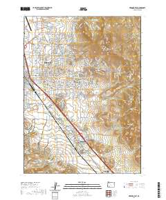
(19)- 2011 Map of Medford West, 2011 Print
 2011 Medford West2011 Print · USGSCovers Medford, including Central Point, Jacksonville, and other nearby areas
 - 2011 Map of Medford East, 2011 Print
 2011 Medford East2011 Print · USGSCovers Medford, including Talent, Phoenix, and other nearby areas
 - 2011 Map of Eagle Point, 2011 Print
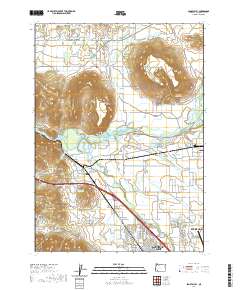
 2011 Eagle Point2011 Print · USGSCovers Medford, including Eagle Point, White City, and other nearby areas
 - 2014 Map of Eagle Point, 2014 Print
 2014 Eagle Point2014 Print · USGSCovers Medford, including Eagle Point, White City, and other nearby areas
 - 2014 Map of Medford West, 2014 Print
 2014 Medford West2014 Print · USGSCovers Medford, including Central Point, Jacksonville, and other nearby areas
 - 2014 Map of Sams Valley, 2014 Print
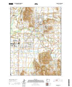
 2014 Sams Valley2014 Print · USGSCovers Medford, including Central Point, Sams Valley, and other nearby areas
 - 2014 Map of Medford East, 2014 Print
 2014 Medford East2014 Print · USGSCovers Medford, including Talent, Phoenix, and other nearby areas
 - 2017 Map of Eagle Point, 2017 Print
 2017 Eagle Point2017 Print · USGSCovers Medford, including Eagle Point, White City, and other nearby areas
 - 2017 Map of Medford West, 2017 Print
 2017 Medford West2017 Print · USGSCovers Medford, including Central Point, Jacksonville, and other nearby areas
 - 2017 Map of Medford East, 2017 Print
 2017 Medford East2017 Print · USGSCovers Medford, including Talent, Phoenix, and other nearby areas
 - 2017 Map of Sams Valley, 2017 Print
 2017 Sams Valley2017 Print · USGSCovers Medford, including Central Point, Sams Valley, and other nearby areas
 - 2020 Map of Medford West, 2020 Print
 2020 Medford West2020 Print · USGSCovers Medford, including Central Point, Jacksonville, and other nearby areas
 - 2020 Map of Sams Valley, 2020 Print
 2020 Sams Valley2020 Print · USGSCovers Medford, including Central Point, Sams Valley, and other nearby areas
 - 2020 Map of Medford East, 2020 Print
 2020 Medford East2020 Print · USGSCovers Medford, including Talent, Phoenix, and other nearby areas
 - 2020 Map of Eagle Point, 2020 Print
 2020 Eagle Point2020 Print · USGSCovers Medford, including Eagle Point, White City, and other nearby areas
 - 2023 Map of Medford West, 2023 Print
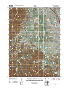
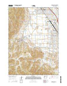
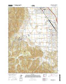
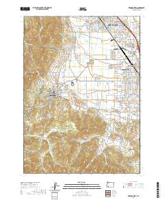
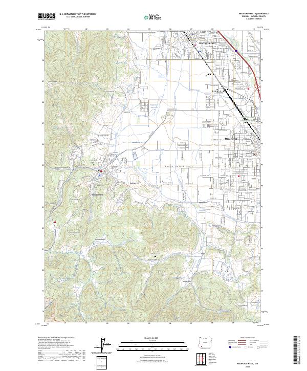 2023 Medford West2023 Print · USGSThe foothills and valley floor of Jackson County appear here in the early twenty-first century as urban centers meet historic irrigation networks. Researchers can locate Jacksonville Cem, follow the Old Military Rd, or trace the winding Phoenix Canal through the valley.
 - 2024 Map of Sams Valley, 2024 Print
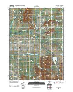
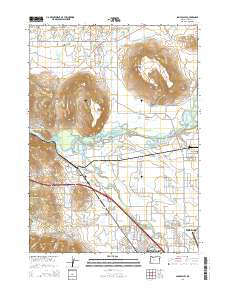
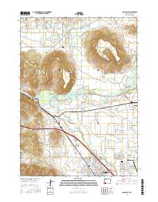
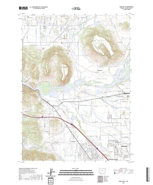 2024 Sams Valley2024 Print · USGSThe Rogue Valley and its iconic plateau landmarks appear here in the modern era, showing the mix of agricultural tradition and urban growth. Genealogists and local historians can trace burial sites like Pankey Park Cem or locate the historic rail-side junction at Tolo.
 - 2024 Map of Eagle Point, 2024 Print
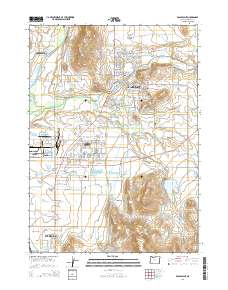
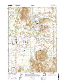
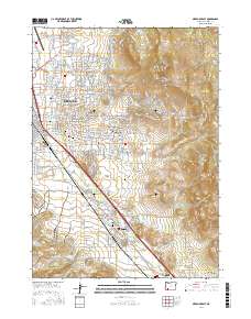
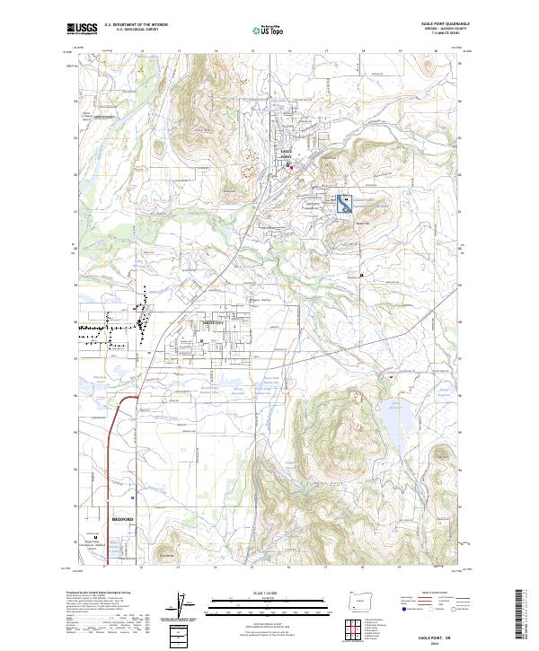 2024 Eagle Point2024 Print · USGSJackson County's Rogue Valley comes into sharp focus in this modern survey of the growing suburban and agricultural corridor. Genealogists and historians can locate the Eagle Point National Cemetery, Antelope Cemetery, and the Medco railroad line.
 - 2024 Map of Medford East, 2024 Print
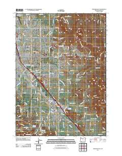
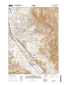
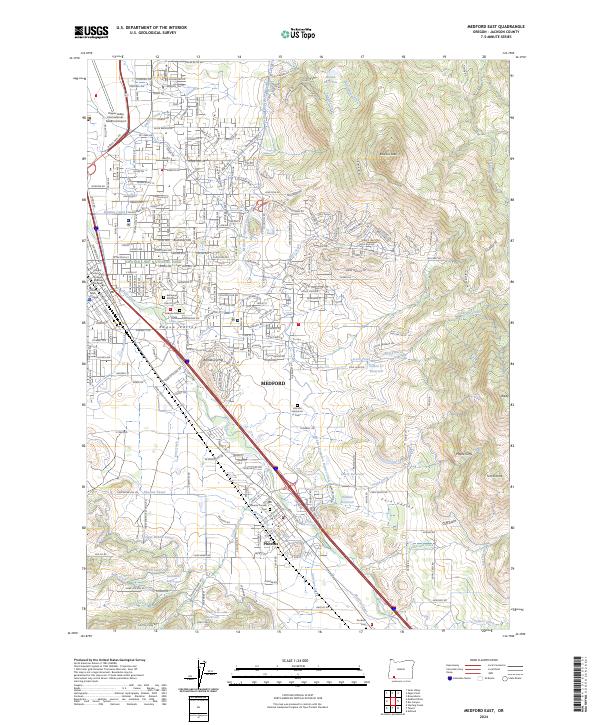 2024 Medford East2024 Print · USGSJackson County enters a new era of growth along the Interstate 5 corridor in this contemporary survey. Researchers can trace family history at Phoenix Pioneer Cem or locate local landmarks like Rogue Valley Manor and the rugged Roxy Ann Peak.
End of results
Showing maps 1-19 of 19
Top cities near Medford
- Ashland historical maps
- Central Point historical maps
- Eagle Point historical maps
- White City historical maps
- Talent historical maps
- Phoenix historical maps
See more
Top neighborhoods of Medford
Frequently asked questions
- What are the different types of historical maps available for Medford?
- What is the oldest map of Medford?
- Where can I purchase historical maps of Medford for my home or office?
- Where can I download high-res historical maps of Medford?
- Are there historical topographic maps available for Medford?
- Is there historical aerial imagery available for Medford?
- Where are historical maps of Medford sourced from?