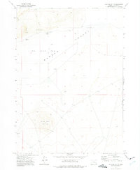
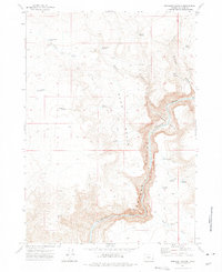
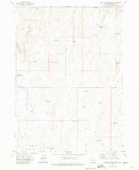
1970s Maps of Malheur County, Oregon
Explore 62 historic maps of Malheur County from the 1970s. These maps offer a rare glimpse into what life looked like during the 1970s — showing old roads, neighborhoods, homes, and landmarks that have changed or disappeared over time.
Whether you're researching your family's past, planning a metal detecting trip, or studying how Malheur County's landscape evolved across the 1970s, these high-resolution maps are a powerful tool for exploring the history of this region.
- Focus on a specific era: All maps on this page are from the 1970s, giving you a focused view of this time period.
- See what’s changed: Compare century-old streets, trails, and buildings to today's modern landscape using overlays and satellite layers.
- Research with precision: Use these maps for genealogy, historical research, land use analysis, or educational projects.
- View, download, or print: Maps are fully viewable online in high resolution, and can be downloaded or printed for your own records.
Start exploring Malheur County's history through authentic maps from the 1970s. This is your window into the past.
Malheur County, OR maps
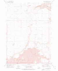
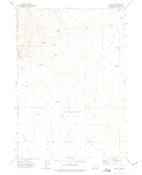
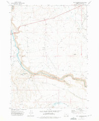
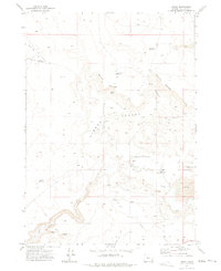
(62)- 1970 Map of Castle Rock, 1973 Print
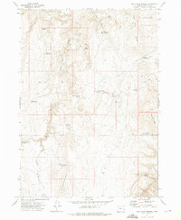
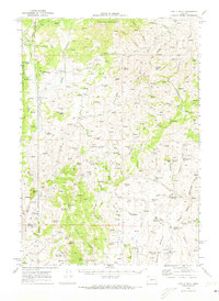 1970 Castle Rock1973 Print · USGSEastern Oregon ranching and forestry are documented here in the early seventies, spanning the borders of Grant, Harney, and Malheur Counties. Researchers can locate remote outposts like Dutch John Cabin, the isolated Goodwin Tomb, and the Castle Rock Fire Station.
 - 1972 Map of Tims Peak, 1974 Print
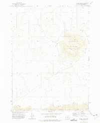
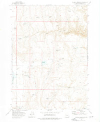
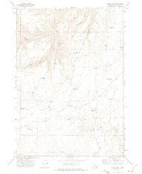
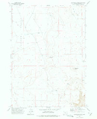
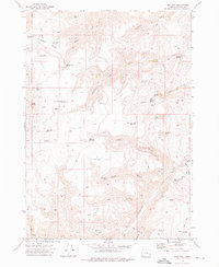 1972 Tims Peak1974 Print · USGSHigh-desert ranching and water management define this Malheur County landscape in the early seventies. Genealogists and historians can trace livestock operations through landmarks like the Shearing Plant, Cow Camp Spring, and Roy Reservoir.
 - 1972 Map of Cedar Mountain, 1975 Print
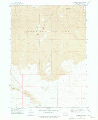
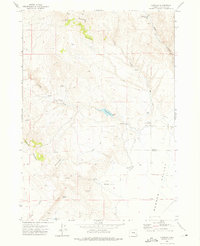
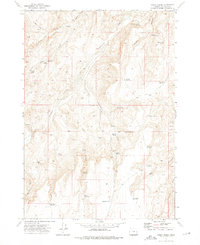
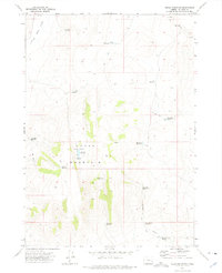 1972 Cedar Mountain1975 Print · USGSSoutheast Oregon's high desert reveals its ranching and water management history in this early 1970s study of Malheur County. Researchers can trace remote catchments and landmarks like Hard Time Reservoir, Cook Stove Basin, and Long Walk Reservoir across the desert floor.
 - 1972 Map of Palomino Hills, 1975 Print
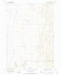
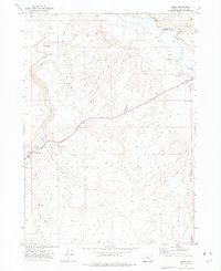
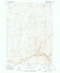
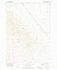 1972 Palomino Hills1975 Print · USGSMalheur County’s high desert landscape was extensively documented in the early 1970s, showing a region shaped by ranching and resource needs. Researchers can trace water catchments like Two Day Reservoir and mineral extraction sites such as Gravel Pits and various Prospects.
 - 1972 Map of Wrangle Butte, 1975 Print
 1972 Wrangle Butte1975 Print · USGSHigh desert volcanic terrain in Malheur County defines this early 1970s survey. Geologists and explorers can trace unique subterranean features like the Saddle Butte Lava Tube, Rattlesnake Cave, and Burns Cave within the Saddle Butte Lava Field.
 - 1972 Map of Saddle Butte, 1975 Print
 1972 Saddle Butte1975 Print · USGSEastern Oregon rangeland is documented here in the early 1970s, showcasing the volcanic terrain of Malheur County. Researchers can trace land use patterns near Saddle Butte and find localized landmarks like a Corral and Ryegrass Creek.
 - 1972 Map of Owyhee Butte, 1975 Print
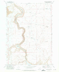 1972 Owyhee Butte1975 Print · USGSSoutheast Oregon’s high desert plateau was captured in the early 1970s, defined by the winding gorge of the Owyhee Canyon. Researchers can trace the era's ranching infrastructure through remote water tanks, the Eiguren Reservoir No 2, and old jeep trails.
 - 1972 Map of Lambert Rocks, 1975 Print
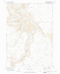 1972 Lambert Rocks1975 Print · USGSThe Owyhee River canyon of eastern Oregon was a remote frontier of lava plateaus and cattle ranching in the early 1970s. Trace the isolated infrastructure of the high desert from Bogus Ranch to the Bogus Creek Landing Strip and Red Line Reservoir.
 - 1972 Map of Burnt Flat, 1975 Print
 1972 Burnt Flat1975 Print · USGSSoutheast Oregon's high desert reveals its ranching and water-management history in the early seventies. Genealogists and historians can trace family-named sites like Frying Pan Ranch, locate the Fangollano ruins, and map remote water sources like Tex Martin Lake.
 - 1972 Map of Hereford, 1975 Print
 1972 Hereford1975 Print · USGSThe Burnt River Valley in the early 1970s shows a landscape of ranching and water management near the Baker County line. Researchers can trace historic upland routes like the Happy Camp Trail or locate remote landmarks including Higgins Reservoir and Hamer Spring.
 - 1972 Map of Shumway Reservoir, 1975 Print
 1972 Shumway Reservoir1975 Print · USGSEastern Oregon ranching life is documented here in the early seventies, centered on the high desert of Malheur County. Genealogists and historians can trace livestock operations at Shumway Ranch and identify numerous remote water sites like Skull Springs Reservoir and McConnell Springs.
 - 1972 Map of Palomino Lake, 1975 Print
 1972 Palomino Lake1975 Print · USGSSoutheast Oregon’s volcanic high desert is captured here in the early 1970s, showcasing a landscape of lava fields and subterranean caves. Geologists and local explorers can trace unique features like Tire Tube Cave, the Saddle Butte Lava Field, and Sheephead Reservoir.
 - 1972 Map of Big Mud Flat, 1975 Print
 1972 Big Mud Flat1975 Print · USGSHigh desert ranching and remote Oregon terrain are frozen in time during the early seventies. Trace the network of desert water management through landmarks like Harry Page Reservoir, Ben Odell Res, and the springs along the O W Y H E E B R E A K S.
 - 1972 Map of Wall Rock Springs, 1975 Print
 1972 Wall Rock Springs1975 Print · USGSMalheur County ranching and water management are captured here in the early seventies. Genealogists and historians can trace livestock infrastructure through sites like Juniper Ranch, West Page Cabin, and Shaeffer Butte Reservoir.
 - 1972 Map of Alder Creek, 1975 Print
 1972 Alder Creek1975 Print · USGSMalheur County in the early seventies was a landscape of remote ranching outposts and high-desert water management. Researchers can trace land use through features like Littlefield Cem, Gugle Ranch, and the isolated Miller Cabin.
 - 1972 Map of Crowley, 1975 Print
 1972 Crowley1975 Print · USGSMalheur County ranching culture is preserved in this early 1970s survey of the high-desert uplands. Researchers can locate remote landmarks like the Crowley Ranch, Stone Ruins, and family-named water sources such as Jurries Springs.
 - 1972 Map of Rome, 1975 Print
 1972 Rome1975 Print · USGSIn the high desert of southeastern Oregon during the early 1970s, the small settlement of Rome serves as a vital outpost near the Owyhee River. Researchers can trace the ranching and irrigation history of the region through landmarks like the Crooked Creek Ranch, Happy Valley Ditch, and the Crooked Creek State Wayside.
 - 1972 Map of Scott Reservoir, 1975 Print
 1972 Scott Reservoir1975 Print · USGSSoutheast Oregon's high desert was a landscape of remote canyons and essential water improvements during the early seventies. Genealogists and historians can trace the paths of Happy Valley Road and discover livestock-era landmarks like Owyhee Spring and the Round Mtn Well.
 - 1972 Map of Sacramento Butte, 1975 Print
 1972 Sacramento Butte1975 Print · USGSMalheur County in the early seventies shows a landscape dedicated to high-desert ranching and water management. You can trace the remote network of trails connecting Clark Ranch to essential water sources like Barren Basin Reservoir and Red Well.
 - 1972 Map of Avery Creek, 1975 Print
 1972 Avery Creek1975 Print · USGSMalheur County in the early seventies was a landscape of remote ranching outposts and high-desert water management. Trace the historic network of springs and stock ponds that sustained the region, from O'Toole Reservoir to the isolated Cottonwood Cabin Spring.
 - 1972 Map of Rufino Butte, 1975 Print
 1972 Rufino Butte1975 Print · USGSSoutheast Oregon's high desert is captured here in the early 1970s, showing a landscape defined by ranching and remote outposts. Trace historical footprints at Coyote Wells (Site), the King Brown Cabin, and the aptly named Slim and Fatty Spring.
 - 1972 Map of Arock, 1975 Print
 1972 Arock1975 Print · USGSThe Jordan Valley in the early 1970s reveals a ranching landscape centered on the settlement of Arock. Researchers can trace the water-management network of the North Side Canal and find local landmarks like Jones Sch and the Sheep Ranch.
 - 1972 Map of Mustang Butte, 1975 Print
 1972 Mustang Butte1975 Print · USGSEastern Oregon high desert life is captured here in the early seventies, showing a landscape defined by ranching and resource management. Trace the historic Mooreville (Site) and the Crowley Guard Station near the massive Mustang Butte.
 - 1972 Map of Rinehart Canyon, 1975 Print
 1972 Rinehart Canyon1975 Print · USGSHigh desert ranching life in Malheur County comes into focus in this early 1970s study of the remote Owyhee breaks. Researchers can trace the water-dependent economy of the region through landmarks like Rinehart Ranch, Iron Point, and Stanfield Reservoir.
 - 1972 Map of Copeland Reservoirs, 1975 Print
 1972 Copeland Reservoirs1975 Print · USGSMalheur County during the early 1970s shows a high-desert landscape meticulously engineered for water storage. Researchers can locate remote ranching outposts like Copeland Place and numerous catchment basins including Kid Flat Reservoir and Mc Nulty Reservoir.
Showing maps 1-25 of 62
Top cities of Malheur County
- Ontario historical maps
- Nyssa historical maps
- Vale historical maps
- Adrian historical maps
- Jordan Valley historical maps
Frequently asked questions
- What are the different types of historical maps available for Malheur County?
- What is the oldest map of Malheur County?
- Where can I purchase historical maps of Malheur County for my home or office?
- Where can I download high-res historical maps of Malheur County?
- Are there historical topographic maps available for Malheur County?
- Is there historical aerial imagery available for Malheur County?
- Where are historical maps of Malheur County sourced from?