1960s Maps of Malheur County, Oregon
Explore 52 historic maps of Malheur County from the 1960s. These maps offer a rare glimpse into what life looked like during the 1960s — showing old roads, neighborhoods, homes, and landmarks that have changed or disappeared over time.
Whether you're researching your family's past, planning a metal detecting trip, or studying how Malheur County's landscape evolved across the 1960s, these high-resolution maps are a powerful tool for exploring the history of this region.
- Focus on a specific era: All maps on this page are from the 1960s, giving you a focused view of this time period.
- See what’s changed: Compare century-old streets, trails, and buildings to today's modern landscape using overlays and satellite layers.
- Research with precision: Use these maps for genealogy, historical research, land use analysis, or educational projects.
- View, download, or print: Maps are fully viewable online in high resolution, and can be downloaded or printed for your own records.
Start exploring Malheur County's history through authentic maps from the 1960s. This is your window into the past.
Malheur County, OR maps
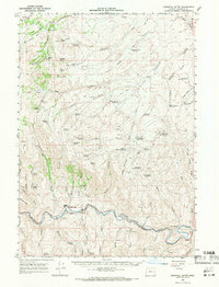
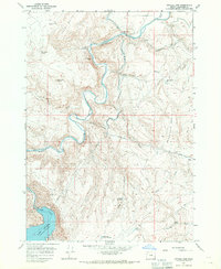
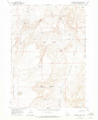
(52)- 1961 Map of Disaster Peak, 1963 Print
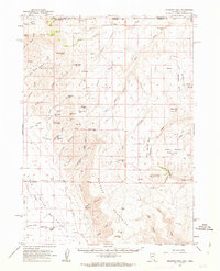 1961 Disaster Peak1963 Print · USGSThe high desert of Humboldt County and the Oregon border comes into focus in the early sixties, showing a landscape of remote mines and cattle ranching. Trace old mining claims at the Moonlight Mine, locate high-country water at Yellow Rose Sprs, and find the remote Rio King Ranch.2 unique versions available
 - 1962 Map of Boise
 1962 Boise1962 Print · USGSThe Treasure Valley at the start of the sixties reveals a landscape of expanding towns and complex irrigation networks along the Snake River. Genealogists and historians can trace the foundations of modern Idaho through markers like Initial Point, the mining history of Silver City, and the early infrastructure of Lucky Peak Dam.
 - 1962 Map of Vya
 1962 Vya1962 Print · USGSThe Nevada and Oregon borderlands in the early sixties reveal a landscape of isolated ranching outposts and high-desert mining. Researchers can trace historic family holdings like the Denio Ranch or locate early mineral sites including the Mcadoo Mine and Iron King Mine.
 - 1962 Map of Adel, 1963 Print
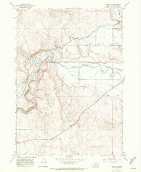
 1962 Adel1963 Print · USGSSoutheastern Oregon in the early sixties reveals a landscape of massive basins, remote ranches, and expansive wildlife refuges. Researchers can locate vanished rural infrastructure like the Trout Creek School or trace early routes through Adel and Frenchglen.
 - 1964 Map of Bridgeport, 1966 Print
 1964 Bridgeport1966 Print · USGSEastern Oregon gold country comes into sharp focus during the mid-1960s, showing a landscape shaped by early mining and water management. Researchers can trace the ruins of Malheur City and Eldorado or locate specific workings like the Humboldt Mine and Iron Door Mine.2 unique versions available
 - 1964 Map of Brogan, 1966 Print
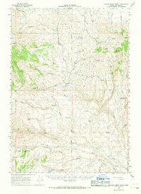
 1964 Brogan1966 Print · USGSEastern Oregon ranching life in the 1960s is preserved here through the remote outposts and water sources of Malheur County. Genealogists and historians can locate family landmarks like Juniper Mtn Ranch, the Brogan Cem, and Richie Flat.
 - 1964 Map of Ironside, 1966 Print
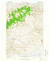 1964 Ironside1966 Print · USGSIronside and the surrounding high country of the Oregon borderlands are captured here in the mid-sixties. Genealogists and historians can trace the foundations of this ranching community through the Ironside Sch, the Golden Eagle Mine, and the historic Treaty Boundary.
 - 1965 Map of Nyssa, 1967 Print
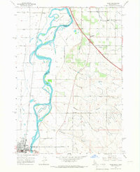 1965 Nyssa1967 Print · USGSThe borderlands of Oregon and Idaho come alive in the mid-1960s as the Snake River winds past Nyssa and its surrounding agricultural islands. Genealogists and historians can trace local landmarks like the De Lamar Grange Hall, the Union Pacific rail lines, and the extensive irrigation networks of Farmers Ditch.
 - 1965 Map of Parma, 1967 Print
 1965 Parma1967 Print · USGSWestern Idaho's river junctions and rail corridors come into focus in the mid-sixties as the irrigation network supports the growing valley. Researchers can trace family roots at Parma Cem, locate the Apple Valley Sch, or explore the grounds of the University of Idaho Agriculture Experiment Sta.2 unique versions available
 - 1966 Map of Clover Creek Ranch, 1968 Print
 1966 Clover Creek Ranch1968 Print · USGSMalheur County ranching culture is preserved here in the mid-1960s, showing a landscape shaped by historical boundaries and water rights. Researchers can trace the Old Indian Treaty Boundary and locate family landmarks like Clover Creek Ranch, Jenkins Ranch, and a remote Cem.
 - 1966 Map of Harper, 1968 Print
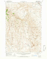
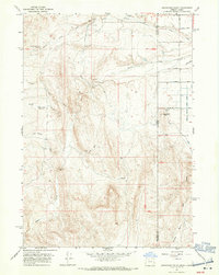
 1966 Harper1968 Print · USGSEastern Oregon ranching and rail infrastructure define this mid-century portrait of Malheur County. Researchers can trace the Union Pacific line through Harper and locate remote landmarks like Westfall, Buckaroo Cabin, and the Cem near Bully Creek.
 - 1966 Map of Westfall Butte, 1971 Print
 1966 Westfall Butte1971 Print · USGSThe Malheur River canyon in the mid-1960s was a vital corridor for ranching and the Union Pacific Railroad. Genealogists and historians can locate remote landmarks like Jonesboro, Becker Horse Camp, and the tracks leading to Tunnel Spur.2 unique versions available
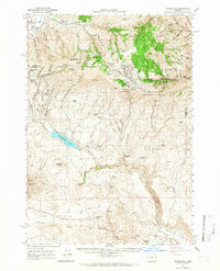
 - 1966 Map of Beulah, 1971 Print
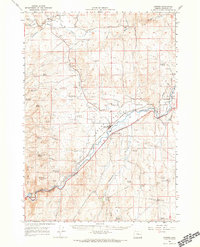
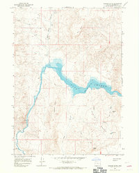
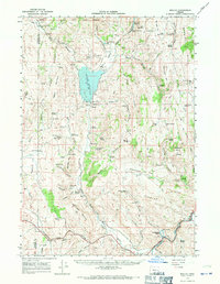 1966 Beulah1971 Print · USGSThe high desert of Malheur County comes alive in this mid-century survey, centered on the Beulah Reservoir and the North Fork Malheur River. Researchers can trace early infrastructure and local genealogy through landmarks like Agency Valley Cem, the Agency Valley Dam, and the Old Indian Treaty Boundary.2 unique versions available
 - 1967 Map of Graveyard Point, 1970 Print
 1967 Graveyard Point1970 Print · USGSEastern Oregon's arid borderlands come into focus in the late sixties, showcasing a landscape of high-desert irrigation and early historical sites. Researchers can find the Graveyard Point Historical Marker and trace the paths of Succor Creek and Sage Basin Creek.2 unique versions available
 - 1967 Map of Pelican Point, 1971 Print
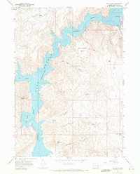
 1967 Pelican Point1971 Print · USGSThe Owyhee canyonlands of Malheur County come into focus in the late sixties, showing the reach of the reservoir and its remote backcountry access. Trace the path of jeep trails to landmarks like Pelican Point, the isolated Landing Strip, and the geological formations of the Honeycombs.
 - 1967 Map of Diamond Butte, 1971 Print
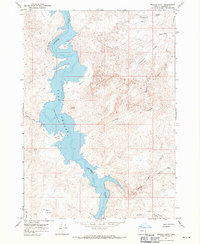
 1967 Diamond Butte1971 Print · USGSThe high desert of Malheur County in the late sixties reveals a landscape of deep canyons and rising waters. Genealogists and local historians can locate the Watson Cem and trace the original course of the Owyhee River through Lake Owyhee.3 unique versions available
 - 1967 Map of Vale East, 1971 Print
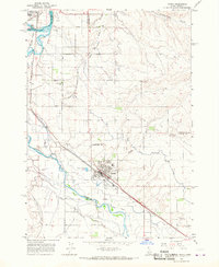
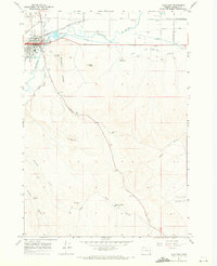 1967 Vale East1971 Print · USGSVale and the surrounding Malheur River valley are captured in the late sixties, showing a community built on the convergence of major waterways and rail. Genealogists and local historians can locate Pioneer Cem, trace the Union Pacific line, and explore the terrain around Vale Butte.3 unique versions available
 - 1967 Map of Cairo, 1971 Print
 1967 Cairo1971 Print · USGSThe agricultural heart of Malheur County is captured here in the late sixties, showing a landscape defined by an intricate web of desert irrigation. Local historians can trace the foundations of Cairo Junction and Mallett through landmarks like the Cairo Sch, Arcadia Sch, and the Malheur Butte Ch.
 - 1967 Map of Rockville, 1971 Print
 1967 Rockville1971 Print · USGSThe Oregon-Idaho borderlands in the late 1960s reveal a landscape of remote settlements and early transit history near Rockville. Genealogists and historians can trace the Rockville Cem, the Rockville Sch, and the historical Stage Station Site.
 - 1967 Map of Owyhee Dam, 1971 Print
 1967 Owyhee Dam1971 Print · USGSIn the late 1960s, the high desert of Malheur County was defined by the massive Owyhee Dam and its complex irrigation network. Trace the engineering of the era through a series of siphons and aqueducts alongside natural landmarks like Deer Butte and Shively Hot Spring.
 - 1967 Map of Vines Hill, 1971 Print
 1967 Vines Hill1971 Print · USGSThe Malheur River valley in the late sixties shows a landscape of precision irrigation and rail transit. Trace the vital desert water systems of the Vale Oregon Canal and Farmers Ditch alongside the Union Pacific line.
 - 1967 Map of Pole Creek Top, 1971 Print
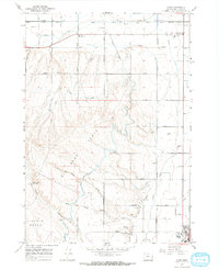
 1967 Pole Creek Top1971 Print · USGSThe Oregon and Idaho borderlands appear in the late sixties as a land of high-elevation basins and remote water management. Trace early ranching infrastructure and remote terrain features such as Spanish Charlie Basin, Mitzi Reservoir, and Antelope Spring.
 - 1967 Map of Bannock Ridge, 1971 Print
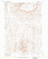
 1967 Bannock Ridge1971 Print · USGSMalheur County in the late sixties reveals a sparse high-desert landscape centered on the massive Bannock Ridge. Genealogists and historians can trace isolated human activity at Brooks Cabin and follow the essential water network of Currant Spring and Sulphur Spring.2 unique versions available
 - 1967 Map of Sourdough Spring, 1971 Print
 1967 Sourdough Spring1971 Print · USGSMalheur County, Oregon, is captured in the late sixties as a land of remote springs and high-altitude basins. Local historians can trace the essential water network of the era, from Sourdough Spring and Whiskey Spring to the Wildcat Canyon Reservoir.
 - 1967 Map of The Elbow, 1971 Print
 1967 The Elbow1971 Print · USGSMalheur County’s high desert landscape was defined by the rising waters of the Owyhee during the late sixties. Researchers can trace recreation and topography at Lake Owyhee State Park, the V W McCormack Area, and the landmark Nannys Nipple.2 unique versions available
Showing maps 1-25 of 52
Top cities of Malheur County
- Ontario historical maps
- Nyssa historical maps
- Vale historical maps
- Adrian historical maps
- Jordan Valley historical maps
Frequently asked questions
- What are the different types of historical maps available for Malheur County?
- What is the oldest map of Malheur County?
- Where can I purchase historical maps of Malheur County for my home or office?
- Where can I download high-res historical maps of Malheur County?
- Are there historical topographic maps available for Malheur County?
- Is there historical aerial imagery available for Malheur County?
- Where are historical maps of Malheur County sourced from?