1990s Maps of Malheur County, Oregon
Explore 42 historic maps of Malheur County from the 1990s. These maps offer a rare glimpse into what life looked like during the 1990s — showing old roads, neighborhoods, homes, and landmarks that have changed or disappeared over time.
Whether you're researching your family's past, planning a metal detecting trip, or studying how Malheur County's landscape evolved across the 1990s, these high-resolution maps are a powerful tool for exploring the history of this region.
- Focus on a specific era: All maps on this page are from the 1990s, giving you a focused view of this time period.
- See what’s changed: Compare century-old streets, trails, and buildings to today's modern landscape using overlays and satellite layers.
- Research with precision: Use these maps for genealogy, historical research, land use analysis, or educational projects.
- View, download, or print: Maps are fully viewable online in high resolution, and can be downloaded or printed for your own records.
Start exploring Malheur County's history through authentic maps from the 1990s. This is your window into the past.
Malheur County, OR maps
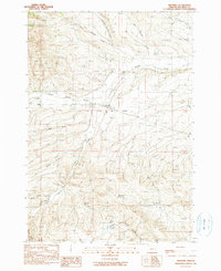
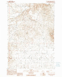
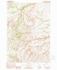
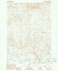
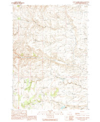
(42)- 1990 Map of Mormon Basin
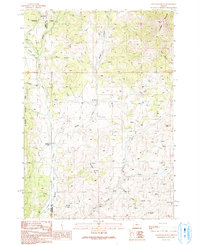
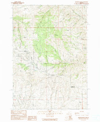 1990 Mormon Basin1990 Print · USGSThe Baker and Malheur county line runs through this rugged mining district as it appeared in the late twentieth century. Genealogists and historians can locate former settlements at Amelia and Miller, or trace old workings at the Sunday Hill Mine.
 - 1990 Map of Brady Creek
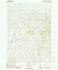
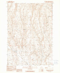
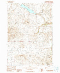
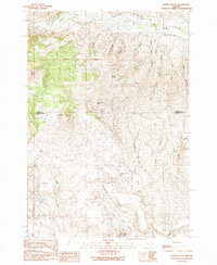
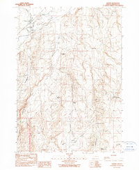
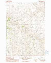 1990 Brady Creek1990 Print · USGSMalheur County’s high country is captured here in the late twentieth century, showing a landscape of remote ranching and essential water sources. You can trace early land use through named features like Juniper Mtn Ranch, Homestead Spring, and the Upper Buckbrush Reservoir.
 - 1990 Map of South Mountain
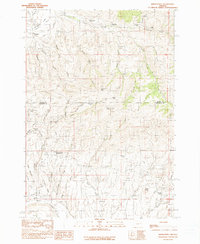
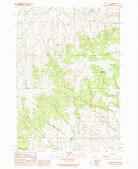
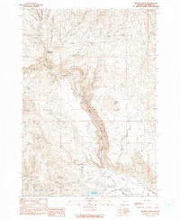
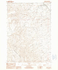
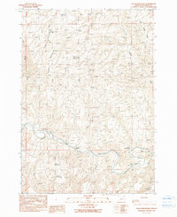 1990 South Mountain1990 Print · USGSMalheur County’s high desert landscape is documented here in the 1990s, centered on the heights of South Mountain. Researchers can trace remote ranching outposts and vital water sources like Hinkle Ranch, Perry Ranch, and the Alfred Reservoir.
 - 1990 Map of Westfall
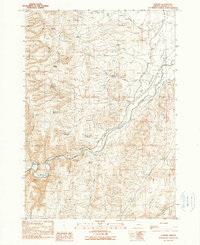
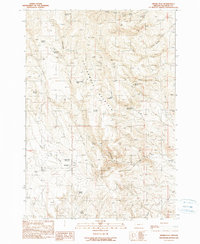
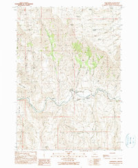
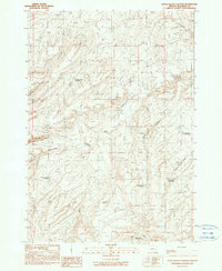
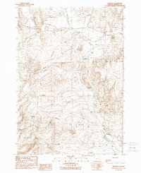 1990 Westfall1990 Print · USGSThe settlement of Westfall and a preserved segment of the Oregon Trail define this corner of Malheur County in the late twentieth century. Researchers can trace historic water routes and pioneer paths through landmarks like Zimmerman Ditch, Cemetery Spring, and the Open Pit Mines.
 - 1990 Map of Ironside
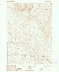
 1990 Ironside1990 Print · USGSMalheur County, Oregon, is shown here as it appeared in the late twentieth century, centered on the settlement of Ironside. Researchers can trace the path of the Old Indian Treaty Boundary and locate water sources like Mud Flat Spring and the Rock Quarry Reservoir.
 - 1990 Map of Scratch Post Butte
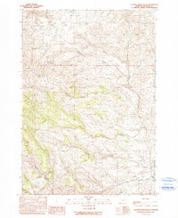
 1990 Scratch Post Butte1990 Print · USGSMalheur County during the late twentieth century is defined here by high-desert rangeland and the historic Indian Treaty Boundary. Genealogists and historians can trace topographic landmarks like Scratch Post Butte, Smith Reservoir, and the remote Juniper Mountain.
 - 1990 Map of Bridgeport
 1990 Bridgeport1990 Print · USGSEastern Oregon mining history is etched into this late twentieth-century landscape where Baker and Malheur counties meet. Researchers can trace the footprints of old hydraulic systems like the Eldorado Ditch and locate historic hubs including China Town and Malheur City.
 - 1990 Map of Namorf
 1990 Namorf1990 Print · USGSEastern Oregon's high desert reveals its late-twentieth-century ranching and water infrastructure along the Malheur River canyon. Researchers can trace remote landmarks like the settlement of Namorf, the rugged Hog Ridge, and numerous livestock springs like Tumbleweed Spring.
 - 1990 Map of Cow Valley West
 1990 Cow Valley West1990 Print · USGSMalheur County's high-desert rangeland is captured here as it appeared in the early nineties. Researchers can trace the drainage patterns of Cow Valley and locate landmarks like the settlement of Bonita or the heights of Worsham Butte.
 - 1990 Map of Buckbrush Creek
 1990 Buckbrush Creek1990 Print · USGSHigh desert water management in Malheur County is on full display in the 1990s, when ranching and irrigation shaped the landscape. Researchers can trace historical water sources like Chalk Spring and Clover Ditch or locate prominent landmarks such as Little Poison Butte.
 - 1990 Map of Devils Heel
 1990 Devils Heel1990 Print · USGSThe borderlands of Baker and Malheur counties come into focus in the 1990s as a region of complex water management and high-desert ranching. Researchers can trace the layout of Milk Ranch, the industrial footprint of Open Pit Mines, and the passage through Eldorado Pass.
 - 1990 Map of Swede Flat
 1990 Swede Flat1990 Print · USGSMalheur County ranching country is mapped here in the late twentieth century, showing the remote high-plateau landscape of eastern Oregon. Researchers can trace historic range improvements and water sources like Bannock Corral Spring, Swede Flat Reservoir, and Rock Cabin Spring No 2.
 - 1990 Map of Westfall Butte
 1990 Westfall Butte1990 Print · USGSHigh-desert ranching and water management define this Malheur County landscape as it appeared in the late eighties. Researchers can locate remote outposts like Blicker Horse Camp and trace the network of water sources from Westfall Butte to Gregory Creek Reservoir.
 - 1990 Map of Cow Valley East
 1990 Cow Valley East1990 Print · USGSHigh desert ranching and water management define this eastern Oregon landscape in the mid-1980s. Researchers can trace the drainage patterns of Malheur Reservoir or locate specific landmarks like the Radio Tower and Corral near Cow Valley.
 - 1990 Map of Becker Creek
 1990 Becker Creek1990 Print · USGSMalheur County’s high-desert landscape is documented here in the late twentieth century, showing a remote region defined by water management and mining. Genealogists and historians can trace old water rights and mineral claims through Huntington Junction, Pole Creek Reservoir, and numerous Prospects.
 - 1990 Map of Jonesboro
 1990 Jonesboro1990 Print · USGSIn the Malheur River valley during the late twentieth century, ranching and irrigation dictated the local landscape. Genealogists and historians can trace family-named sites like Vaughn Peach Ranch, D Jones Ranch, and the early infrastructure of the Jonesboro Canal.
 - 1990 Map of Little Valley
 1990 Little Valley1990 Print · USGSThe high desert ranching country of eastern Oregon is captured in the 1990s as it manages water through Little Valley. Researchers can locate Jordan Ranch, the small settlement of Harper, and a network of siphons and canals.
 - 1990 Map of Wendt Butte
 1990 Wendt Butte1990 Print · USGSThe high-desert terrain of Malheur and Baker Counties is captured here in the late twentieth century, showing a landscape shaped by mining and water scarcity. Researchers can trace historical sites like the Golden Eagle Mine and numerous water sources including Cave Hollow Spring and Koonitz Spring.
 - 1990 Map of Brogan
 1990 Brogan1990 Print · USGSBrogan and the surrounding high-desert slopes of Malheur County are documented here in the late twentieth century. Genealogists and local historians can locate the Brogan Cem, the PO, and remote sites like Boston Horse Camp near Cottonwood Mountain.
 - 1990 Map of Little Black Canyon
 1990 Little Black Canyon1990 Print · USGSMalheur County ranching and water management are frozen in time on this 1990 survey of the Oregon high desert. Local historians and land researchers can trace the development of isolated outposts like Lawrence Ranch and numerous water features including Swamp Creek Reservoir and Black Canyon Reservoir.
 - 1990 Map of Little Juniper Spring
 1990 Little Juniper Spring1990 Print · USGSMalheur County ranching country is shown here in the late twentieth century, before modern changes. Researchers can trace land use through named water features like Little Juniper Spring, Jenkins Res No 1, and Hanna Reservoir.
 - 1990 Map of Harper
 1990 Harper1990 Print · USGSMalheur County ranching and water management are front and center in this late-century survey of the Harper Valley area. Local historians can trace the movement of water and livestock through features like the Harper Canal, Buckaroo Cabin, and Harper Junction.
 - 1990 Map of Log Creek
 1990 Log Creek1990 Print · USGSMalheur County ranching and water management are captured here in the late twentieth century. You can locate remote landmarks like the Abandoned Airstrip, a small Cem, and a series of livestock waters such as Jordan Reservoir.
 - 1990 Map of Clover Creek Ranch
 1990 Clover Creek Ranch1990 Print · USGSHigh-desert ranching life in Malheur County is documented here during the late twentieth century. Genealogists and researchers can trace the isolated Clover Creek Ranch complex, its private Landing Strip, and the intricate Ditch system near Wheaton Creek.
 - 1990 Map of Clevenger Butte, 1991 Print
 1990 Clevenger Butte1991 Print · USGSMalheur County ranching and forest lands are captured in the 1990s as the high country maintains its traditional character. Researchers can trace historic river access at Lockhart Crossing or locate remote outposts like The Holdout Cow Camp near Clevenger Butte.
Showing maps 1-25 of 42
Top cities of Malheur County
- Ontario historical maps
- Nyssa historical maps
- Vale historical maps
- Adrian historical maps
- Jordan Valley historical maps
Frequently asked questions
- What are the different types of historical maps available for Malheur County?
- What is the oldest map of Malheur County?
- Where can I purchase historical maps of Malheur County for my home or office?
- Where can I download high-res historical maps of Malheur County?
- Are there historical topographic maps available for Malheur County?
- Is there historical aerial imagery available for Malheur County?
- Where are historical maps of Malheur County sourced from?