2020s Maps of Malheur County, Oregon
Explore 413 historic maps of Malheur County from the 2020s. These maps offer a rare glimpse into what life looked like during the 2020s — showing old roads, neighborhoods, homes, and landmarks that have changed or disappeared over time.
Whether you're researching your family's past, planning a metal detecting trip, or studying how Malheur County's landscape evolved across the 2020s, these high-resolution maps are a powerful tool for exploring the history of this region.
- Focus on a specific era: All maps on this page are from the 2020s, giving you a focused view of this time period.
- See what’s changed: Compare century-old streets, trails, and buildings to today's modern landscape using overlays and satellite layers.
- Research with precision: Use these maps for genealogy, historical research, land use analysis, or educational projects.
- View, download, or print: Maps are fully viewable online in high resolution, and can be downloaded or printed for your own records.
Start exploring Malheur County's history through authentic maps from the 2020s. This is your window into the past.
Malheur County, OR maps
(413)- 2020 Map of Nyssa, 2020 Print
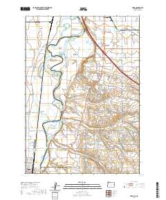 2020 Nyssa2020 Print · USGSThe Snake River valley at the Oregon-Idaho border shows a landscape defined by industrial-scale irrigation and riverine islands. Researchers can trace the layout of Fruitland and Nyssa while locating family-named features like McPhersons Island and Gamble Island.
 - 2020 Map of Whitehorse Ranch, 2020 Print
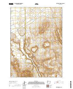 2020 Whitehorse Ranch2020 Print · USGSRemote ranching and high-desert water management define this corner of Southeast Oregon in the twenty-first century. Researchers can trace the rugged road network and seasonal drainages surrounding Whitehorse Ranch, Bog Hole Reservoir, and Whitehorse Butte.
 - 2020 Map of Juniper Ridge, 2020 Print
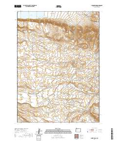 2020 Juniper Ridge2020 Print · USGSSoutheastern Oregon ranching country is mapped here in the late 2010s, showing a land shaped by water rights and open range. Researchers can trace historic grazing lands and water sources like Frank Maher Flat, Antelope Reservoir, and Castro Spring.
 - 2020 Map of Rawhide Springs, 2020 Print
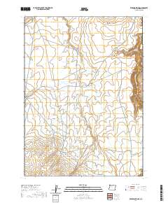 2020 Rawhide Springs2020 Print · USGSMalheur County ranching country remains defined by its remote springs and deep canyons in this recent survey. Researchers can trace land use patterns and water sources through landmarks like Rawhide Springs, Colossal Reservoir, and the W Little Owyhee River.
 - 2020 Map of Battle Creek Ranch, 2020 Print
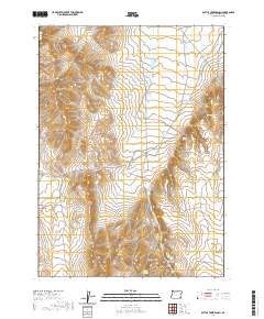 2020 Battle Creek Ranch2020 Print · USGSMalheur County ranching culture and high-desert geography are documented here in the early twenty-first century. Researchers can trace the layout of Battle Creek Ranch and locate remote water sources like Woolhawk Reservoir and Isaac Canyon Spring.
 - 2020 Map of Doolittle Creek, 2020 Print
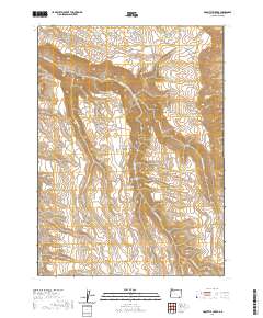 2020 Doolittle Creek2020 Print · USGSSoutheast Oregon’s high desert is captured here in the contemporary era, showing a landscape shaped by water and ranching history. Researchers can locate named water sources like Buckaroo Corral Spring and landmarks like Death Trap or Twin Peaks.
 - 2020 Map of Anderson Reservoir, 2020 Print
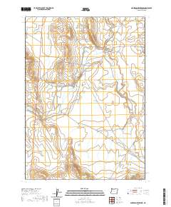 2020 Anderson Reservoir2020 Print · USGSMalheur County ranching country is captured here in the early twenty-first century, showing the critical water systems of the high desert. Researchers can trace the path of the Old Ion Hwy and examine irrigation landmarks like Anderson Reservoir and Crutcher Ditch.
 - 2020 Map of Drummond Basin, 2020 Print
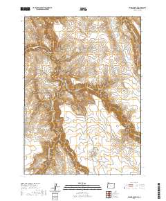 2020 Drummond Basin2020 Print · USGSMalheur County's high desert plateaus are revealed in this 2020 survey, showing a landscape shaped by the Owyhee River and early ranching infrastructure. Trace remote routes like Fields Creek Reservoir Rd to find Five Bar Reservoir and the Upper Drummond Waterhole.
 - 2020 Map of Rome State Airport, 2020 Print
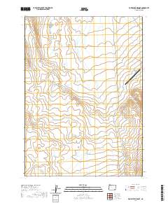 2020 Rome State Airport2020 Print · USGSIn the southeastern corner of Oregon during the early twenty-first century, this landscape represents the quiet isolation of the high desert. Researchers can trace the layout of the Rome State Airport and the vast township grids of T34S R39E and T35S R39E.
 - 2020 Map of Boghole Spring, 2020 Print
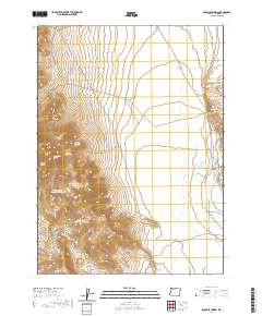 2020 Boghole Spring2020 Print · USGSSoutheast Oregon’s high desert is captured here in the early twenty-first century, showcasing the vital water network of the Oregon Canyon Mountains. Trace remote ranching landmarks like Deafenbough Reservoir Number 1, Boghole Spring, and the long desert route of Mc Dermitt Rd.
 - 2020 Map of Indian Fort, 2020 Print
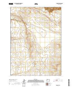 2020 Indian Fort2020 Print · USGSMalheur County's high-desert range is documented in this recent survey, capturing the essential water sources and landmarks of the Oregon backcountry. Researchers can trace remote routes like Skull Creek Rd to find Indian Fort, Mustang Butte, and Owyhee Canyon.
 - 2020 Map of Hoppin Springs, 2020 Print
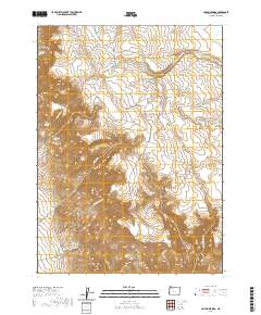 2020 Hoppin Springs2020 Print · USGSMalheur County's high-desert rangeland is mapped here in the modern era, showing a landscape defined by vital water sources and ranching routes. Researchers can trace historic land use through features like Larribeau Reservoir, Juans Forty, and Nouque Ranch Rd.
 - 2020 Map of Peacock Lake, 2020 Print
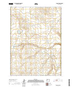 2020 Peacock Lake2020 Print · USGSSoutheast Oregon's high desert water systems are recorded here during the early twenty-first century. Map researchers can trace the essential network of remote reservoirs and crossings including Antelope Reservoir, High Ridge, and the distinct Ho Crossing.
 - 2020 Map of Skull Creek, 2020 Print
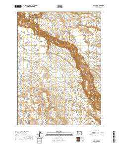 2020 Skull Creek2020 Print · USGSThe high plateaus and deep canyons of Malheur County are captured here during the early twenty-first century. Researchers can trace the essential water-security network of the high desert through features like Scotts Ditch, Skull Cr Reservoir, and the Owyhee River.
 - 2020 Map of Burns Junction, 2020 Print
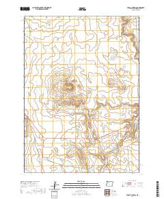 2020 Burns Junction2020 Print · USGSIn the high desert of Malheur County during the early twenty-first century, this landscape centers on the remote crossroads of Burns Junction. Genealogists and desert explorers can trace the seasonal watercourses of Scott Butte Cr and Palomino Cr as they navigate around the prominent Scott Butte.
 - 2020 Map of Twelvemile Ridge, 2020 Print
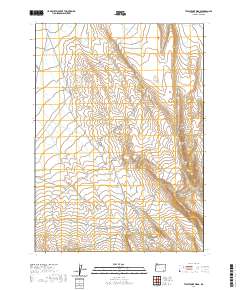 2020 Twelvemile Ridge2020 Print · USGSMalheur County's high-desert landscape is documented here in the early twenty-first century, showing the remote ranching corridors of southeastern Oregon. Researchers can trace the winding paths of Whitehorse Rd and Echave Ranch Rd as they pass Three Man Butte and Twelvemile Ridge.
 - 2020 Map of No Crossing Crossing, 2020 Print
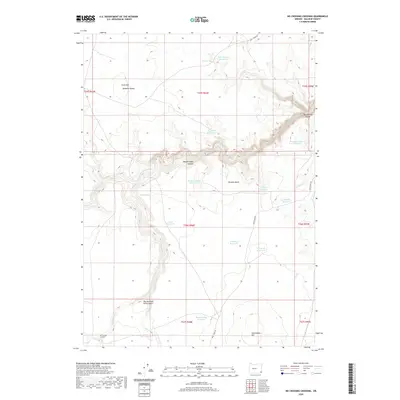 2020 No Crossing Crossing2020 Print · USGSHigh desert Oregon in the 2020s remains a landscape of carefully managed water and isolated peaks. Trace the hopeful and wary names of the backcountry like Optimism Reservoir, Desperation Reservoir, and Deadman Butte.
 - 2020 Map of Scott Reservoir, 2020 Print
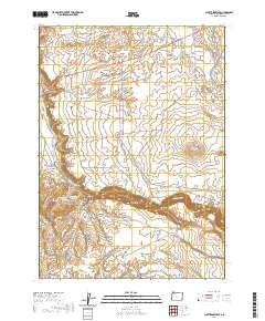 2020 Scott Reservoir2020 Print · USGSMalheur County's high desert landscape is defined here by the deep incision of the Owyhee Canyon and its complex irrigation network. Genealogists and researchers can trace local landmarks and water rights via Scott Reservoir, Happy Valley, and the Skull Creek Rd.
 - 2020 Map of Grasshopper Flat South, 2020 Print
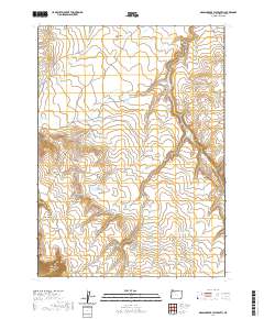 2020 Grasshopper Flat South2020 Print · USGSMalheur County's high-desert ranching country is captured here during the early twenty-first century. Researchers can trace the importance of seasonal water and land claims through landmarks like Juans Forty, Echave Reservoir, and Maiden Spring.
 - 2020 Map of Iron Mountain, 2020 Print
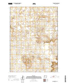 2020 Iron Mountain2020 Print · USGSHigh desert volcanic features define this Malheur County landscape in 2020. Geologists and local explorers can trace the extent of the Saddle Butte Lava Field and locate Iron Mtn and the Saddle Butte Lava Tube.
 - 2020 Map of Rome, 2020 Print
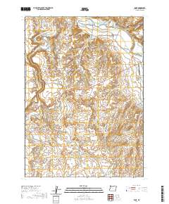 2020 Rome2020 Print · USGSIn the high desert of Malheur County, this area centers on the remote settlement of Rome near the Owyhee River. Researchers can trace the water rights and grazing patterns of the region through landmarks like Hubble Ditch, Rome Cliffs, and McCutcheon Flat.
 - 2020 Map of Owyhee Butte, 2020 Print
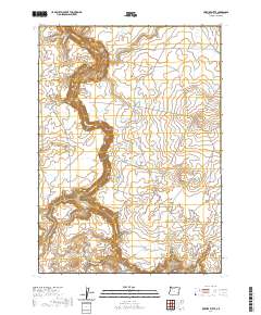 2020 Owyhee Butte2020 Print · USGSSoutheast Oregon's high desert is captured here in the late twenty-teens, showing a landscape shaped by volcanic flows and the deep incision of the Owyhee River. Researchers can trace remote ranching infrastructure and desert landmarks like the Saddle Butte Lava Field and Owyhee Butte.
 - 2020 Map of Threemile Hill, 2020 Print
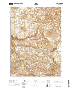 2020 Threemile Hill2020 Print · USGSMalheur County’s high desert landscape is documented here in the early twenty-first century, showing the critical intersection of water and range. You can trace the path of the Old Ion Hwy and locate local landmarks like Lequerica Trap and Threemile Hill.
 - 2020 Map of Rockhouse Reservoir, 2020 Print
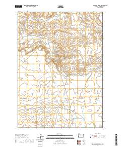 2020 Rockhouse Reservoir2020 Print · USGSMalheur County’s high desert landscape is captured here in the early twenty-first century, showing the essential water infrastructure of this open range. Researchers can trace the drainage of Indian Fort Cr and locate livestock landmarks like Hardin Spring and Blevins Reservoir.
 - 2020 Map of Grasshopper Flat North, 2020 Print
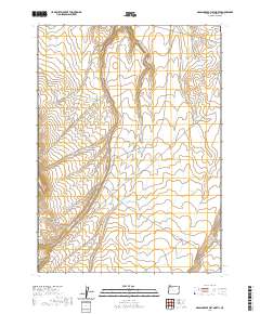 2020 Grasshopper Flat North2020 Print · USGSMalheur County’s high desert plateau is shown here in the contemporary era, highlighting the remote ranching landscape of eastern Oregon. Researchers can trace the essential water management system of the region through landmarks like Flat Tire Reservoir, Grasshopper Flat, and Potomac Ranch Rd.
Showing maps 1-25 of 413
Top cities of Malheur County
- Ontario historical maps
- Nyssa historical maps
- Vale historical maps
- Adrian historical maps
- Jordan Valley historical maps
Frequently asked questions
- What are the different types of historical maps available for Malheur County?
- What is the oldest map of Malheur County?
- Where can I purchase historical maps of Malheur County for my home or office?
- Where can I download high-res historical maps of Malheur County?
- Are there historical topographic maps available for Malheur County?
- Is there historical aerial imagery available for Malheur County?
- Where are historical maps of Malheur County sourced from?