1980s Maps of Malheur County, Oregon
Explore 80 historic maps of Malheur County from the 1980s. These maps offer a rare glimpse into what life looked like during the 1980s — showing old roads, neighborhoods, homes, and landmarks that have changed or disappeared over time.
Whether you're researching your family's past, planning a metal detecting trip, or studying how Malheur County's landscape evolved across the 1980s, these high-resolution maps are a powerful tool for exploring the history of this region.
- Focus on a specific era: All maps on this page are from the 1980s, giving you a focused view of this time period.
- See what’s changed: Compare century-old streets, trails, and buildings to today's modern landscape using overlays and satellite layers.
- Research with precision: Use these maps for genealogy, historical research, land use analysis, or educational projects.
- View, download, or print: Maps are fully viewable online in high resolution, and can be downloaded or printed for your own records.
Start exploring Malheur County's history through authentic maps from the 1980s. This is your window into the past.
Malheur County, OR maps
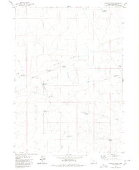
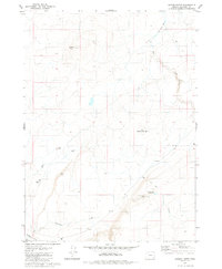
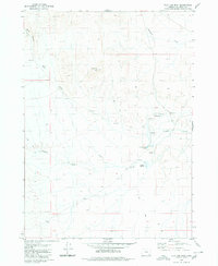
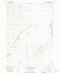
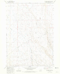
(80)- 1980 Map of Brewster Reservoir
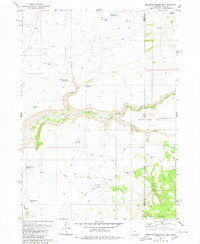 1980 Brewster Reservoir1980 Print · USGSThe high-desert ranchlands along the Oregon-Idaho border are captured here in the 1970s, as the North Fork Owyhee River winds through deep canyons. Researchers can trace remote cattle operations like Brewster Ranch and Circle Bar Ranch or locate isolated water features like Mule Lake Reservoir.2 unique versions available
 - 1980 Map of Odell Mountain
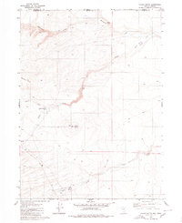
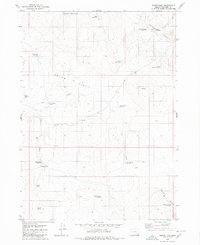
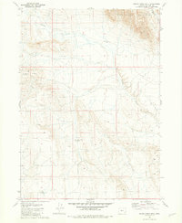
 1980 Odell Mountain1980 Print · USGSHumboldt County high country is documented here in the early eighties, showing the remote borderlands between Nevada and Oregon. Researchers can locate high-desert landmarks like the Quinn River Cabin, mountain Prospects, and essential water sources including Sheepherder Springs.
 - 1980 Map of Skull Creek
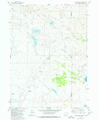
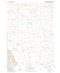
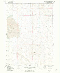
 1980 Skull Creek1980 Print · USGSSoutheast Oregon’s high desert is defined by the deep incision of the river in the 1980s. Trace the path of the Owyhee River through Owyhee Canyon and locate family-named landmarks like Eiguren Reservoir and the Scotts Ditch irrigation line.
 - 1980 Map of Three Forks
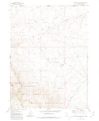
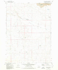
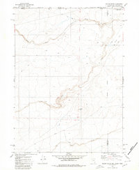
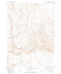
 1980 Three Forks1980 Print · USGSThe deep desert canyons of Malheur County are captured here at the start of the 1980s, centered on a major river confluence. Researchers can trace the rugged Military Grade and the Wes Hawkins Trail near the striking Three Forks Dome.2 unique versions available
 - 1980 Map of Caviatta Ridge
 1980 Caviatta Ridge1980 Print · USGSHigh desert ranching and water management define this Malheur County landscape in the 1970s. Researchers can trace essential water sources and landmarks like Garlow Butte Spring, Mustang Water Hole, and Crows Nest Reservoir across the high ridges.
 - 1980 Map of Calico Butte
 1980 Calico Butte1980 Print · USGSThe Oregon-Nevada borderlands in the early eighties were defined by isolated ranching outposts and vital desert water sources. Researchers can trace the layout of Calico Ranch, locate the Caves, and follow the seasonal flows of Wild Bills Creek.2 unique versions available
 - 1980 Map of Juniper Point
 1980 Juniper Point1980 Print · USGSThe Oregon and Idaho borderlands are captured here in the 1980s, showcasing the intricate ranching infrastructure of this high desert region. Researchers can locate remote homesteads like Redmond Ranch and Dougal Ranch alongside named water features like Gartin Reservoir and Twin Lakes.
 - 1980 Map of Mahogany Spring
 1980 Mahogany Spring1980 Print · USGSThe high desert border between Nevada and Oregon is mapped here in the early eighties, showcasing the transition from the Calico Mountains to the southern Humboldt National Forest. Researchers can trace the drainage of the East Fork Quinn River and locate remote water sources like Owyhee Reservoir 3 and Mahogany Spring.
 - 1980 Map of Jackies Butte
 1980 Jackies Butte1980 Print · USGSSoutheast Oregon's high desert was a landscape of remote ranching and seasonal drainages during the 1970s. Trace the isolated water infrastructure and cattle territory of Beber Ranch while locating landmarks like Jackies Butte and the Bull Canyon Reservoir.
 - 1980 Map of Squaw Flat
 1980 Squaw Flat1980 Print · USGSHigh-desert grazing lands in eastern Oregon come into focus during the early 1980s, revealing a landscape shaped by ranching and water management. Researchers can trace remote livestock infrastructure like Coyote Wells, the Corral, and the Upper Horse Camp Res.
 - 1980 Map of Whitehorse Butte
 1980 Whitehorse Butte1980 Print · USGSSoutheast Oregon rangeland in the early eighties shows a landscape shaped by water engineering and ranching. Genealogists and historians can trace the Arritola Ranch and find isolated landmarks like Groundhog Falls and Whitehorse Butte.
 - 1980 Map of Indian Fort
 1980 Indian Fort1980 Print · USGSHigh desert rangeland in Malheur County comes into sharp focus in the early 1980s, revealing the vital water infrastructure of the Oregon interior. Trace the remote cattle-country history of Indian Fort Cabin and landmarks like Dead Horse Butte or the Owyhee Canyon.
 - 1980 Map of Flat Top Mtn
 1980 Flat Top Mtn1980 Print · USGSMalheur County’s high desert landscape was mapped here just after the mid-seventies, revealing a remote terrain of seasonal creeks and springs. Trace the essential water sources for ranching like Crooked Creek Spring and isolated landmarks such as the Landing Strip.
 - 1980 Map of Nadine Butte
 1980 Nadine Butte1980 Print · USGSThe high desert at the tri-state junction of Nevada, Idaho, and Oregon is captured here in the late seventies. Researchers can trace remote overland routes like the Jeep Trail and locate specific landmarks such as Nadine Butte and the Aqueduct.
 - 1980 Map of Rome State Airport
 1980 Rome State Airport1980 Print · USGSSoutheast Oregon's high desert landscape comes into focus here during the mid-seventies, showing a sparsely populated frontier. Local historians and land researchers can trace the isolated Rome State Airport and the winding Jeep Trail through the sagebrush.
 - 1980 Map of Johnny Creek Spring, 1981 Print
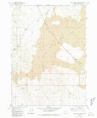 1980 Johnny Creek Spring1981 Print · USGSSoutheast Oregon's high desert reveals its volcanic character and early 1980s water management in this detailed survey of Malheur County. Researchers can trace remote water catchments and mineral sites including Johnny Creek Reservoir, Rosemarys Lake, and various Borrow Pits.
 - 1980 Map of Weiser, 1993 Print
 1980 Weiser1993 Print · USGSThe Snake River valley and the foothills of the Boise Mountains are captured here in the 1980s, showing the vital rail and water infrastructure of the region. Researchers can trace the Union Pacific line through Payette or locate rural landmarks like Hog Cove Butte and Wilburn Butte.
 - 1980 Map of Brogan, 1997 Print
 1980 Brogan1997 Print · USGSThe Oregon-Idaho borderlands come alive in this late-century survey of the high desert and river valleys. Researchers can trace the legacy of ranching and transport through sites like Malheur City, the Union Pacific rail lines, and the Snake River crossings.
 - 1981 Map of Coyote Lake West
 1981 Coyote Lake West1981 Print · USGSThe high desert of southeastern Oregon comes into focus in the early eighties, capturing a remote landscape of lakebeds and cattle country. Trace the arid topography around Coyote Lake and find historic landmarks like the Lower Willow Creek Waterhole and Twin Buttes.
 - 1981 Map of Grassy Ridge Well
 1981 Grassy Ridge Well1981 Print · USGSMalheur County's high desert terrain is captured here in the late seventies, showing the vital water infrastructure of the Sheepshead Mountains. Researchers can trace the drainages of Wildcat Creek and locate the remote Grassy Ridge Well and its Water Tank.
 - 1981 Map of Coyote Lake East
 1981 Coyote Lake East1981 Print · USGSMalheur County desert terrain is captured here in the early eighties, showing the stark transition between basin floors and rising ridges. Researchers can trace the wide, dry expanse of Coyote Lake and the drainage of Duck Cr through this remote landscape.
 - 1981 Map of Johnny Creek SW
 1981 Johnny Creek SW1981 Print · USGSSoutheastern Oregon’s high desert comes into focus in the early eighties, revealing a landscape shaped by water scarcity and remote ranching. Researchers can trace the essential network of desert wells and basins, including Canyon Well, Steel Post Reservoir, and Saychen Spring.
 - 1981 Map of Twelvemile Ridge
 1981 Twelvemile Ridge1981 Print · USGSSoutheast Oregon rangeland in the early eighties reveals a world of isolated ranching and steep high-desert topography. Trace the remote Twelvmile Ranch and the winding Twelvemile Grade as they follow the paths of Duck Creek and Twelvemile Creek.
 - 1981 Map of Groan Canyon
 1981 Groan Canyon1981 Print · USGSMalheur County’s high-desert ranching country is captured here during the late 1970s, revealing a landscape defined by vital water sources. Researchers can trace historical grazing routes through the Sheepshead Mountains via Rock Corral Spring, Stoddart Reservoir, and Groan Canyon.
 - 1981 Map of Boise
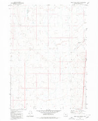
 1981 Boise1981 Print · USGSThe Boise River valley and Treasure Plain are captured here in the early eighties as urban expansion began to link the regional hubs of the Snake River plain. Researchers can trace the development of Nampa, Caldwell, and Meridian or locate landmarks like Lake Lowell and Eagle Island State Park.2 unique versions available
Showing maps 1-25 of 80
Top cities of Malheur County
- Ontario historical maps
- Nyssa historical maps
- Vale historical maps
- Adrian historical maps
- Jordan Valley historical maps
Frequently asked questions
- What are the different types of historical maps available for Malheur County?
- What is the oldest map of Malheur County?
- Where can I purchase historical maps of Malheur County for my home or office?
- Where can I download high-res historical maps of Malheur County?
- Are there historical topographic maps available for Malheur County?
- Is there historical aerial imagery available for Malheur County?
- Where are historical maps of Malheur County sourced from?