Old Maps of Falls City, Oregon for Metal Detecting
Plan your next treasure hunt with 18 historic maps of Falls City. Find old homesites, ghost towns, trails, and gathering spots that may be lost to time — perfect for identifying promising metal detecting locations.
- Locate forgotten sites: Uncover places like long-lost settlements, abandoned rail lines, or gathering spots.
- Plan better hunts: Use map overlays combined with LiDAR or satellite views to narrow in on historically rich areas.
- Made for detectorists: Thousands of hobbyists use these maps to discover relics, coins, and hidden history.
Use these historic maps to boost your research and find new opportunities beneath the surface of Falls City.
Falls City, OR maps
(18)- 1942 Map of Dallas
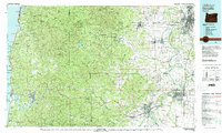
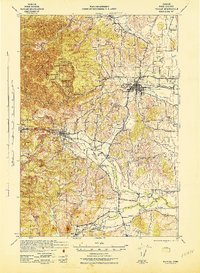 1942 Dallas1942 Print · USGSPolk County at the start of the 1940s reveals a landscape of timber-dependent towns and rural school districts. Genealogists can trace family roots through numerous local landmarks like Pioneer Sch, Falls City, and the Southern Pacific rail lines.
 - 1953 Map of Salem
 1953 Salem1953 Print · USGSMid-century Oregon comes to life through this detailed survey of the Willamette Valley and the adjacent Pacific coastline. Researchers can trace the rail lines of the Southern Pacific RR, visit rural hubs like Fairview School, or locate coastal landmarks like the Yaquina Head Lighthouse.
 - 1954 Map of Salem
 1954 Salem1954 Print · USGSMid-century Western Oregon is centered on the productive Willamette River valley as its cities and infrastructure expand toward the mountains. Genealogists and historians can trace the rail lines of the Southern Pacific RR and Oregon Electric Ry through towns like Dallas, Independence, and Brownsville.
 - 1957 Map of Dallas, 1958 Print
 1957 Dallas1958 Print · USGSMid-century Polk County is captured here as a landscape of timber-clad ridges and valley farms during a period of steady growth. Genealogists and historians can trace family locations through numerous rural schools like Guthrie Sch, the Salt Creek Cem, and small rail stops such as Polk Station.3 unique versions available
 - 1960 Map of Salem, 1968 Print
 1960 Salem1968 Print · USGSThe Willamette Valley and the surrounding mountain ranges are shown here in the 1960s during a period of significant reservoir construction. Genealogists and historians can trace rail lines like the Oregon Electric and find communities from Lincoln City on the coast to Sweet Home and Mill City in the foothills.2 unique versions available
 - 1962 Map of Salem
 1962 Salem1962 Print · USGSThe Willamette Valley and the surrounding Oregon ranges are captured here in the early sixties, showing the vital growth of the state's primary agricultural and academic corridor. Researchers can trace the mid-century footprints of Oregon State University and the University of Oregon, alongside rural landmarks like Camp Adair and Black Butte Mine.
 - 1963 Map of Salem
 1963 Salem1963 Print · USGSMid-century Oregon comes into focus as the Willamette Valley’s timber and agricultural industries meet the growing campuses of Oregon State University and the University of Oregon. Researchers can trace old rail lines like the Oregon Electric Railway and locate family plots at Siletz Cem or Dallas Cem.
 - 1973 Map of Socialist Valley, 1977 Print
 1973 Socialist Valley1977 Print · USGSThe timberlands and watersheds of Polk County come into focus in the early seventies. Genealogists and local historians can trace the Old German Brethren Ch, the Socialist Valley settlement, and the Aaron Mercer Reservoir.
 - 1974 Map of Falls City, 1977 Print
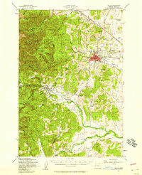
 1974 Falls City1977 Print · USGSThe Luckiamute River valley in Polk County is captured here in the mid-1970s, showcasing a landscape of timber management and small riverfront settlements. Genealogists and historians can locate legacy sites like Odd Fellows Cem, Oakhurst School, and the Old Railroad Grade.
 - 1980 Map of Corvallis, 1981 Print
 1980 Corvallis1981 Print · USGSThe Oregon Coast Range meets the fertile Willamette Valley in the early eighties, documenting a landscape of timber, agriculture, and growing college towns. Genealogists and historians can trace old rail lines like the Southern Pacific or locate landmarks like Marys Peak and the College of Education.
 - 2011 Map of Falls City, 2011 Print
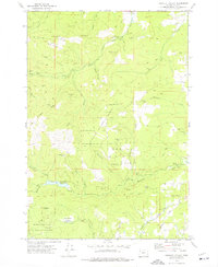
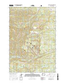
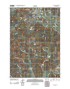 2011 Falls City2011 Print · USGSCovers Falls City, including Pedee, Bridgeport, and other nearby areas
 - 2014 Map of Falls City, 2014 Print
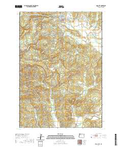
 2014 Falls City2014 Print · USGSCovers Falls City, including Pedee, Bridgeport, and other nearby areas
 - 2017 Map of Falls City, 2017 Print
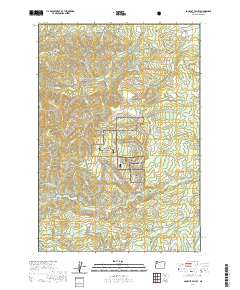
 2017 Falls City2017 Print · USGSCovers Falls City, including Pedee, Bridgeport, and other nearby areas
 - 2017 Map of Socialist Valley, 2017 Print
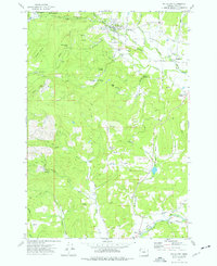
 2017 Socialist Valley2017 Print · USGSCovers Falls City, including Oakdale, Polk County, and other nearby areas
 - 2020 Map of Falls City, 2020 Print
 2020 Falls City2020 Print · USGSCovers Falls City, including Pedee, Bridgeport, and other nearby areas
 - 2020 Map of Socialist Valley, 2020 Print
 2020 Socialist Valley2020 Print · USGSCovers Falls City, including Oakdale, Polk County, and other nearby areas
 - 2023 Map of Falls City, 2023 Print
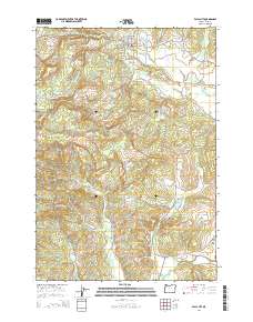
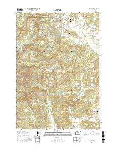
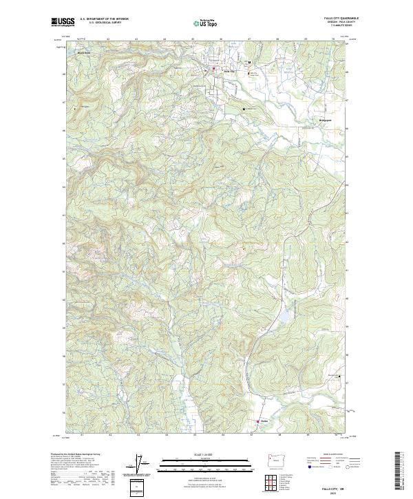 2023 Falls City2023 Print · USGSPolk County's timber and river valleys are captured here in the contemporary era, centered on the historic hub of Falls City. Researchers can trace local genealogy and land use across several sites, including the Falls City Lower Cem, the settlement at Pedee, and the landmark Berry Creek Falls.
 - 2023 Map of Socialist Valley, 2023 Print
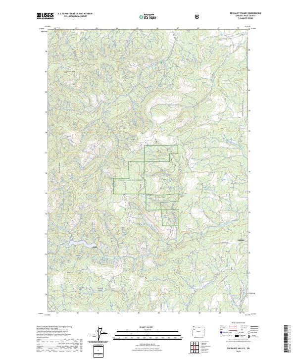 2023 Socialist Valley2023 Print · USGSThe foothills of Polk County are shown in detail here, highlighting the intersection of timberlands and rural settlements. Genealogists and local historians can trace family-named roads like Brown Rd and Barnhart Rd near the Socialist Valley and Oakdale communities.
End of results
Showing maps 1-18 of 18
Top cities near Falls City
- Dallas historical maps
- Monmouth historical maps
- Independence historical maps
- Sheridan historical maps
- Willamina historical maps
- Adair Village historical maps
See more
Frequently asked questions
- What are the different types of historical maps available for Falls City?
- What is the oldest map of Falls City?
- Where can I purchase historical maps of Falls City for my home or office?
- Where can I download high-res historical maps of Falls City?
- Are there historical topographic maps available for Falls City?
- Is there historical aerial imagery available for Falls City?
- Where are historical maps of Falls City sourced from?