2020s Maps of Umatilla County, Oregon
Explore 188 historic maps of Umatilla County from the 2020s. These maps offer a rare glimpse into what life looked like during the 2020s — showing old roads, neighborhoods, homes, and landmarks that have changed or disappeared over time.
Whether you're researching your family's past, planning a metal detecting trip, or studying how Umatilla County's landscape evolved across the 2020s, these high-resolution maps are a powerful tool for exploring the history of this region.
- Focus on a specific era: All maps on this page are from the 2020s, giving you a focused view of this time period.
- See what’s changed: Compare century-old streets, trails, and buildings to today's modern landscape using overlays and satellite layers.
- Research with precision: Use these maps for genealogy, historical research, land use analysis, or educational projects.
- View, download, or print: Maps are fully viewable online in high resolution, and can be downloaded or printed for your own records.
Start exploring Umatilla County's history through authentic maps from the 2020s. This is your window into the past.
Umatilla County, OR maps
(188)- 2020 Map of Buroker, 2020 Print
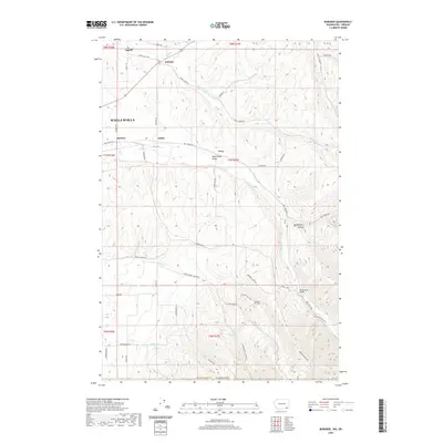 2020 Buroker2020 Print · USGSThe Walla Walla Valley at the start of the 2020s remains a landscape of deep-rooted agricultural history and small rural hubs. Researchers can trace the network of old county roads connecting Sapolil, Buroker, and Harbert, or locate landmarks like Wickersham Bridge.
 - 2020 Map of Touchet, 2020 Print
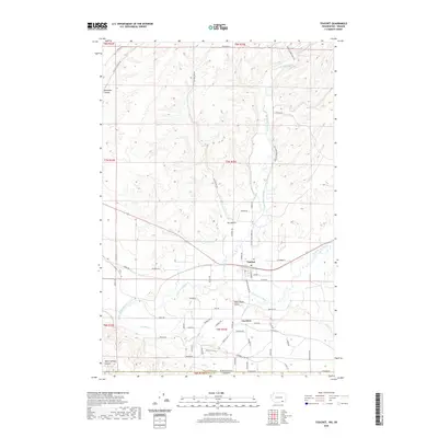 2020 Touchet2020 Print · USGSThe fertile Walla Walla Valley at the turn of the decade is defined by its vital river systems and extensive irrigation networks. Researchers can trace family history along the Touchet River through the namesake town of Touchet and the nearby agricultural community of Gardena.
 - 2020 Map of Wallula, 2020 Print
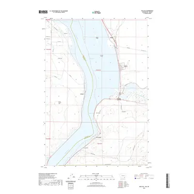 2020 Wallula2020 Print · USGSThe Columbia River corridor near the Washington-Oregon border is shown in detail during the early 21st century. Researchers can trace the riverfront developments at Wallula, follow the rail paths through Attalia, or locate the Madame Dorion Bridge near the mouth of the Walla Walla River.
 - 2020 Map of Kooskooskie, 2020 Print
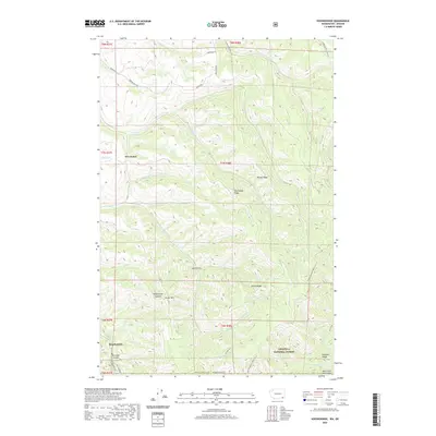 2020 Kooskooskie2020 Print · USGSThe Walla Walla high country comes into focus in the early 21st century, where the settlement of Kooskooskie meets the dense timber of the Umatilla National Forest. Trace the winding paths of Railroad Canyon and the Intake/Deadman Peak Trail across Paradise Ridge.
 - 2020 Map of Zangar Junction, 2020 Print
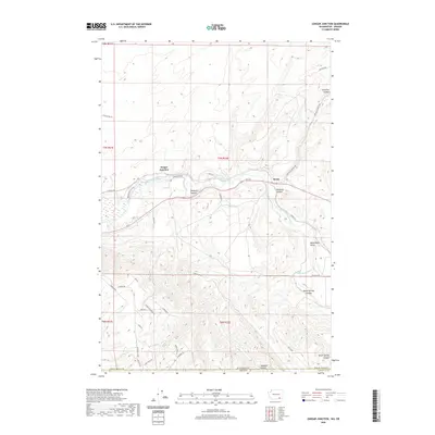 2020 Zangar Junction2020 Print · USGSThe Washington-Oregon borderlands are revealed in this modern survey of the region south of the Walla Walla River. Genealogists and local historians can trace rural routes and family landmarks like Cooper Crossing Rd, Zangar Junction, and the Wallula Horse Trail.
 - 2020 Map of College Place, 2020 Print
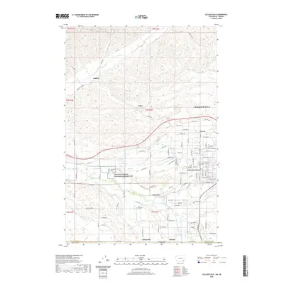 2020 College Place2020 Print · USGSThe Walla Walla Valley at the turn of the decade showcases a landscape defined by collegiate growth and deep historical roots. Genealogists and historians can trace family sites near Mount Hope Cem or explore the grounds of the Whitman Mission National Historic Site and Walla Walla University.
 - 2020 Map of Walla Walla, 2020 Print
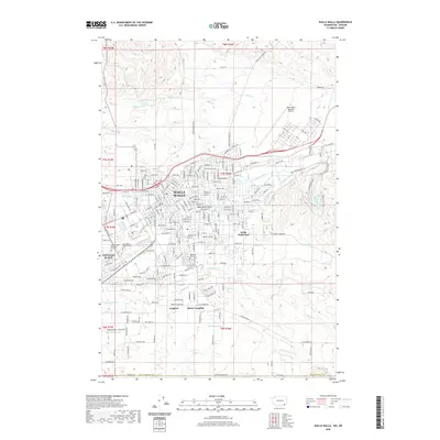 2020 Walla Walla2020 Print · USGSThe Walla Walla Valley in the 2020s shows a landscape where historic military sites and college campuses meet modern irrigation and infrastructure. Researchers can trace the grounds of Whitman College, Fort Walla Walla Military Gardens, and Walla Walla Military Cem.
 - 2020 Map of Lowden, 2020 Print
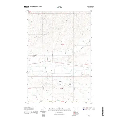 2020 Lowden2020 Print · USGSThe Walla Walla Valley and the settlement of Lowden are mapped here at the start of the 2020s, showing a landscape defined by its irrigation history. Researchers can trace the paths of the Garden City Ditch, the Walla Walla River, and the landing strip at Galt's Gulch Airport.
 - 2020 Map of Deadman Peak, 2020 Print
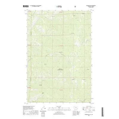 2020 Deadman Peak2020 Print · USGSThe high ridges of the Blue Mountains are captured here in the early twenty-first century as they span the Walla Walla and Columbia county lines. Researchers can trace historic backcountry routes like the Intake/Deadman Peak Trail and locate landmarks such as Robinette Mtn and Table Rock.
 - 2020 Map of Kelsay Butte, 2020 Print
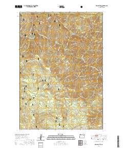 2020 Kelsay Butte2020 Print · USGSUmatilla National Forest is captured here in the late twenty-teens, showing the protected canyons of the North Fork John Day Wild and Scenic River. Researchers can map the intersections of the North Fork John Day Trail with landmarks like Kelsay Butte and Bull Prairie.
 - 2020 Map of The Cockscomb, 2020 Print
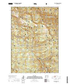 2020 The Cockscomb2020 Print · USGSHigh in the Blue Mountains during the 2020s, this forest survey covers the headwaters of the North Fork John Day River. Trace the old routes of Beeman Junkins or locate landmarks like The Cockscomb and Wassen Meadows.
 - 2020 Map of Dale, 2020 Print
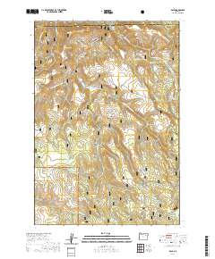 2020 Dale2020 Print · USGSThe Grant County and Umatilla County borderlands are shown here in the 2020s, centered on the river-cut landscape of the Blue Mountains. Genealogists and outdoor historians can trace the topography around Dale, identifying remote landmarks like Meadow Brook Falls and Howard Meadows.
 - 2020 Map of Ring, 2020 Print
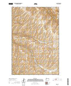 2020 Ring2020 Print · USGSUmatilla County's high plateau country is mapped here in the modern era, showing the intersection of vital canyon routes and rural corridors. Researchers can trace land divisions and local history via Vansycle Canyon, Rita Bluff, and N Juniper Canyon Rd.
 - 2020 Map of Granite Meadows, 2020 Print
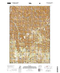 2020 Granite Meadows2020 Print · USGSUmatilla County's forest lands were well-documented in the twenty-tens, showing a landscape of named gulches and high meadows. Genealogists can locate the Warner Family Cem, while others may trace water sources like Hascall Spring and Rowley Cabin Spring.
 - 2020 Map of Summerville, 2020 Print
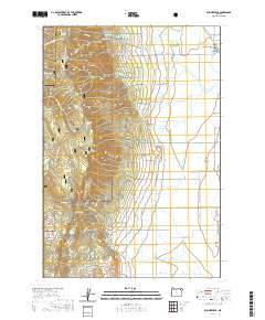 2020 Summerville2020 Print · USGSThe northern reaches of the Grande Ronde Valley are captured here in 2020, where the community of Summerville meets the Blue Mountains. Genealogists and local historians can trace legacy land routes like Happy Walrus Rd or locate highland landmarks including Mt Emily and Fiddlers Hell.
 - 2020 Map of Coombs Canyon, 2020 Print
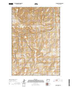 2020 Coombs Canyon2020 Print · USGSUmatilla County's high plateau and deep drainages are captured here in the contemporary era. Researchers can trace family-named routes and landmarks such as Reinhart Rd, Redwine Rd, and the remote Crazy John Spring.
 - 2020 Map of Drumhill Ridge, 2020 Print
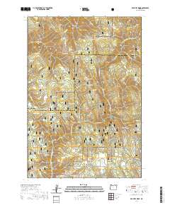 2020 Drumhill Ridge2020 Print · USGSThe high Blue Mountains of the Umatilla and Union county border are captured here in the early twenty-first century. Researchers can trace historic forest access via the Whitman Route and locate family-named landmarks such as Standfield Meadow and Smith Ridge.
 - 2020 Map of Pilot Rock, 2020 Print
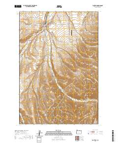 2020 Pilot Rock2020 Print · USGSPilot Rock sits at the confluence of several creek branches in Umatilla County during this 2020 survey. Genealogists and local historians can trace the town’s layout and outlying features like Pilot Rock Cem, Jack Canyon, and Rugg Ranches Airport.
 - 2020 Map of Nye, 2020 Print
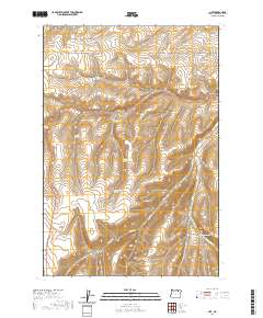 2020 Nye2020 Print · USGSThe high plateau and canyon country of Umatilla County are mapped here in the modern era, showing the enduring ranching and transport routes of the region. Researchers can locate family-named landmarks and old rural sites like Whittaker Flats, Schoolhouse Canyon, and Stock Drive Rd.
 - 2020 Map of Thimbleberry Mountain, 2020 Print
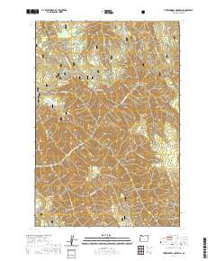 2020 Thimbleberry Mountain2020 Print · USGSUmatilla County's high forest ridges and seasonal springs are documented here as they appeared in the early twenty-first century. Researchers can trace the path of the Huckleberry Mountain Trail and locate remote landmarks like Gray Rock and Dead-Horse Spring.
 - 2020 Map of Bassey Creek, 2020 Print
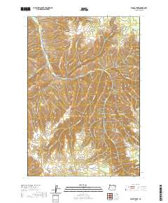 2020 Bassey Creek2020 Print · USGSThe high country of Umatilla County near McKay is captured in this modern survey of eastern Oregon's timbered ridges. Genealogists and local historians can trace the remote drainage of Calamity Cr through the complex mountain topography.
 - 2020 Map of Athena, 2020 Print
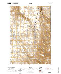 2020 Athena2020 Print · USGSNortheastern Oregon wheat country and the Blue Mountain foothills are captured here in the late twenty-tens. Genealogists and local historians can locate Weston Cem, Key Cem, and the family-named heights of Reed and Hawley Mtn.
 - 2020 Map of Helix, 2020 Print
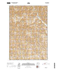 2020 Helix2020 Print · USGSHelix and the surrounding Umatilla County wheat country are shown in detail here during the early twenty-first century. Genealogists and historians can trace family ties through several rural burial sites, including German Cem, Finland Cem, and Greasewood Cem.
 - 2020 Map of Bone Spring, 2020 Print
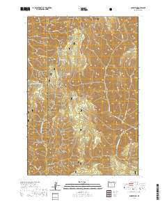 2020 Bone Spring2020 Print · USGSThe Blue Mountains of the Oregon high country come into focus in this recent survey of the Umatilla National Forest. Researchers can trace old travel routes like the Wenaha River Trail and locate remote water sources including Husky Spring and Bone Spring.
 - 2020 Map of Tollgate, 2020 Print
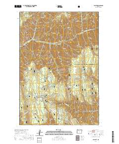 2020 Tollgate2020 Print · USGSTollgate and the high-country landscape of the Blue Mountains are depicted here as a recreational hub within the Umatilla National Forest. Outdoor enthusiasts can trace seasonal paths like the Road Run Loop and locate landmarks like Langdon Lake or Blalock Mtn.
Showing maps 1-25 of 188
Top cities of Umatilla County
- Pendleton historical maps
- Hermiston historical maps
- Milton-Freewater historical maps
- Umatilla historical maps
- Stanfield historical maps
- Pilot Rock historical maps
See more
Frequently asked questions
- What are the different types of historical maps available for Umatilla County?
- What is the oldest map of Umatilla County?
- Where can I purchase historical maps of Umatilla County for my home or office?
- Where can I download high-res historical maps of Umatilla County?
- Are there historical topographic maps available for Umatilla County?
- Is there historical aerial imagery available for Umatilla County?
- Where are historical maps of Umatilla County sourced from?