2000s (21st Century) Maps of Clinton County, Pennsylvania
Explore 135 historic maps of Clinton County from the 2000s (21st Century). These maps offer a rare glimpse into what life looked like during the 2000s — showing old roads, neighborhoods, homes, and landmarks that have changed or disappeared over time.
Whether you're researching your family's past, planning a metal detecting trip, or studying how Clinton County's landscape evolved across the 2000s, these high-resolution maps are a powerful tool for exploring the history of this region.
- Focus on a specific era: All maps on this page are from the 2000s, giving you a focused view of this time period.
- See what’s changed: Compare century-old streets, trails, and buildings to today's modern landscape using overlays and satellite layers.
- Research with precision: Use these maps for genealogy, historical research, land use analysis, or educational projects.
- View, download, or print: Maps are fully viewable online in high resolution, and can be downloaded or printed for your own records.
Start exploring Clinton County's history through authentic maps from the 2000s. This is your window into the past.
Clinton County, PA maps
(135)- 2010 Map of Woodward, 2010 Print
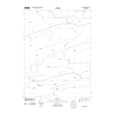 2010 Woodward2010 Print · USGSThe Pennsylvania mountain valleys near Woodward and Livonia are shown at the start of the decade, revealing a landscape shaped by narrow gaps and high ridges. Researchers can trace forest roads and family-named landmarks like Shriner Mountain, Wolfs Store Gap, and Hairy Johns Picnic Area.
 - 2010 Map of Millheim, 2010 Print
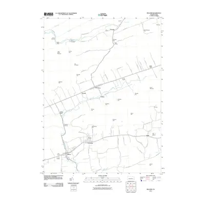 2010 Millheim2010 Print · USGSThe Brush Valley and Penns Valley regions are captured here in the early twenty-first century, showcasing a landscape of tight-knit settlements and mountain gaps. Genealogists can trace family roots through sites like Aaronsburg, Wolfs Store, and the Reformed Cemetery.
 - 2010 Map of Madisonburg, 2010 Print
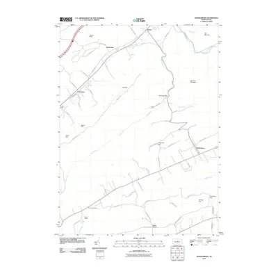 2010 Madisonburg2010 Print · USGSMadisonburg and the surrounding rural townships of Centre County are seen here during the first decade of the millennium. Researchers can trace local landmarks like Penns Cave Airport, the mountain passes of Gingerich Gap and Bressler Gap, and the early settlements of Hublersburg and Snydertown.
 - 2010 Map of Renovo West, 2010 Print
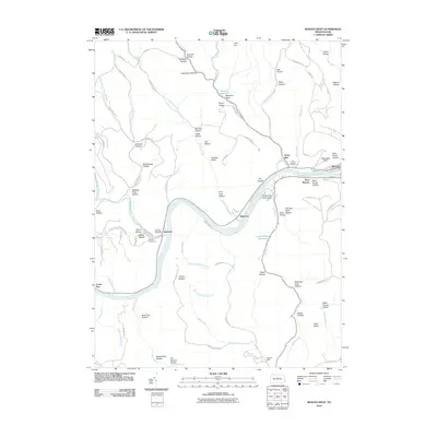 2010 Renovo West2010 Print · USGSClinton County's river valleys and ridgelines are captured here during the first decade of the millennium. Genealogists and local historians can trace family sites at Saint Josephs Cemetery or follow old routes through Westport and Shintown.
 - 2010 Map of Jersey Mills, 2010 Print
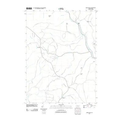 2010 Jersey Mills2010 Print · USGSThe mountain terrain of Gallagher Township and the Pine Creek corridor are shown in this modern survey. Researchers can trace remote trails and landmarks such as the Waterville Lookout Tower, Haneyville, and the Miller Run Natural Area.
 - 2010 Map of Snow Shoe NW, 2010 Print
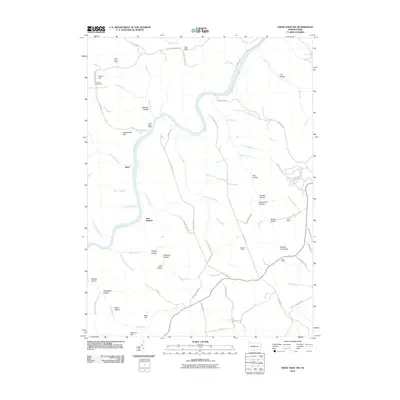 2010 Snow Shoe NW2010 Print · USGSClinton County’s winding river valleys and ridge-top camps are captured here in the early twenty-first century. Researchers can trace the layout of family landmarks and forest outposts like Nelson Cemetery, Black Stump Siding, and the Panther Fire Tower.
 - 2010 Map of Howard NW, 2010 Print
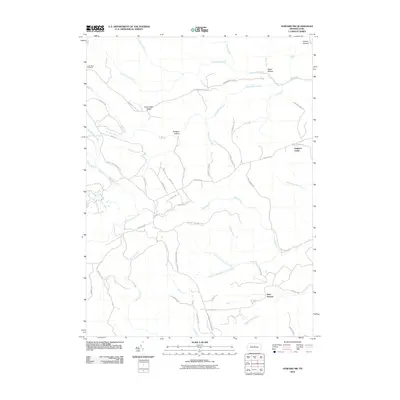 2010 Howard NW2010 Print · USGSClinton County’s high ridges and deep hollows are shown in detail during the 2010s, revealing a landscape shaped by timber management and remote access. Trace old forest routes and landmarks like the Coffin Rock Fire Tower, Eagleton Fields, and Bear Swamp.
 - 2010 Map of Loganton, 2010 Print
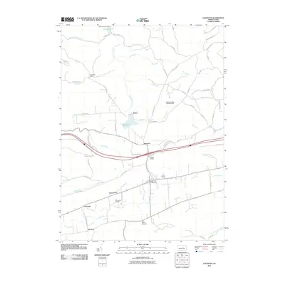 2010 Loganton2010 Print · USGSClinton County’s Sugar Valley is captured here in the early twenty-first century, showing a landscape of small settlements and mountain runs. Genealogists and hikers can trace the paths between Loganton, Booneville, and the protected Rosecrans Bog Natural Area.
 - 2010 Map of Renovo East, 2010 Print
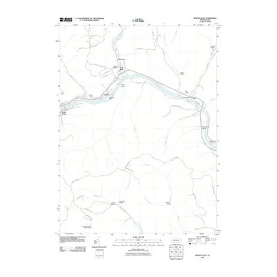 2010 Renovo East2010 Print · USGSClinton County river life and mountain terrain are captured here in the early 21st century. Genealogists and hikers can trace the valley settlements of North Bend, Farwell, and Gleasonton alongside remote landmarks like Fairview Cemetery and the Cranberry Swamp Natural Area.
 - 2010 Map of Tamarack, 2010 Print
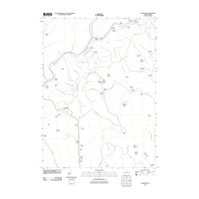 2010 Tamarack2010 Print · USGSClinton County’s high plateau country is documented here in the early twenty-first century, centered on the historic crossroads of Tamarack. Local history researchers can trace the landscape from Laurel Hill Cemetery to early industrial sites like Browns Mill Hollow and Coal Hill.
 - 2010 Map of Farrandsville, 2010 Print
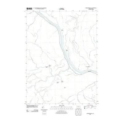 2010 Farrandsville2010 Print · USGSClinton County’s river valleys and wooded ridges are documented here at the start of the 2010s. Researchers can trace the riverfront communities of Farrandsville and East Ferney or locate landmarks like Round Top and the Boiler Maker Trl.
 - 2010 Map of Linden, 2010 Print
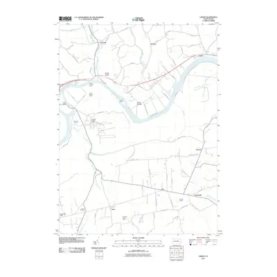 2010 Linden2010 Print · USGSLycoming County at the start of the twenty-first century reveals a landscape shaped by the West Branch Susquehanna River and rural tradition. Researchers can find old burial sites like Fort Antes Cemetery and trace the paths of Antes Creek through Oriole and the Nippenose Valley.
 - 2010 Map of Carroll, 2010 Print
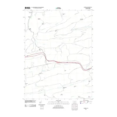 2010 Carroll2010 Print · USGSHartley Township is shaped by the ridges and gaps of Union County in the early twenty-first century. Genealogists and local researchers can trace family sites at Price Cemetery or locate landmarks like the Shakespeare Club and the Rauchtown Lookout Tower.
 - 2010 Map of Beech Creek, 2010 Print
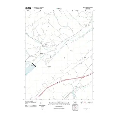 2010 Beech Creek2010 Print · USGSClinton County’s ridge-and-valley landscape is captured here at the start of the 2010s, centered on the waters of the Foster Joseph Sayers Dam. Local historians can trace established homesteads near Beech Creek and Lamar, or locate ancestral burial sites at Sunnyside Cemetery and Clark Cemetery.
 - 2010 Map of Snow Shoe NE, 2010 Print
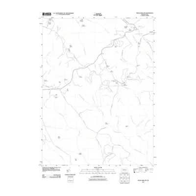 2010 Snow Shoe NE2010 Print · USGSClinton County high country is shown here during a period of active timber and recreational management. Researchers can trace the network of old forest roads to dozens of named hunting and logging outposts like State Camp, The Hemlocks Camp, and the Coffin Rock Fire Tower.
 - 2010 Map of Glen Union, 2010 Print
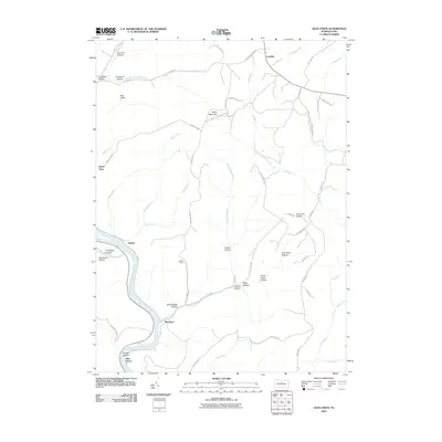 2010 Glen Union2010 Print · USGSThe West Branch Susquehanna River valley and its high plateaus are documented here in the early twenty-first century. Genealogists and local historians can locate small river settlements like Whetham and Glen Union or trace mountain landmarks like Ponderosa Airport and Hyner View.
 - 2010 Map of Jersey Shore, 2010 Print
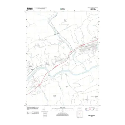 2010 Jersey Shore2010 Print · USGSNear the confluence of Pine Creek and the Susquehanna, this area was a vital rail and river hub at the turn of the millennium. Researchers can trace local lineage through Jersey Shore Cemetery or explore industrial roots at the Avis Yard and McElhattan.
 - 2010 Map of Keating, 2010 Print
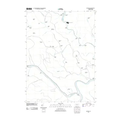 2010 Keating2010 Print · USGSClinton County's river-driven geography is on full display in the early twenty-first century at the meeting of Sinnemahoning Creek and the West Branch Susquehanna River. Researchers can trace the river valleys through Bucktail State Park and locate the historic settlements of Keating and Bitumen.
 - 2010 Map of Lock Haven, 2010 Print
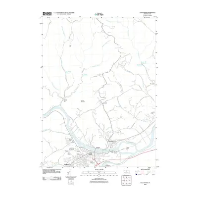 2010 Lock Haven2010 Print · USGSLock Haven and the Susquehanna River valley are captured in detail during the first decade of the 2000s. Researchers can trace local genealogy and landmarks across Highland Cemetery, the Lock Haven University of Pennsylvania, and the grounds of WT Piper Memorial Airport.
 - 2010 Map of Mill Hall, 2010 Print
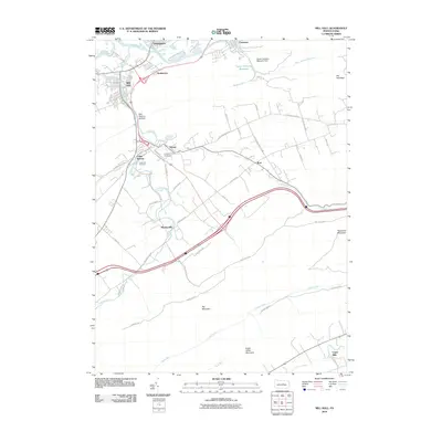 2010 Mill Hall2010 Print · USGSClinton County's fertile valleys and ridge lines are captured in this recent survey, showcasing a landscape of enduring agricultural hamlets. Genealogists and local historians can trace family locations near Logan Mills, Salona, and the Cedar Hill Cemetery.
 - 2010 Map of Hammersley Fork, 2010 Print
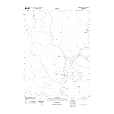 2010 Hammersley Fork2010 Print · USGSIn the Pennsylvania wilds during the early twenty-first century, this area shows a landscape shaped by the deep valleys of Kettle Creek. Genealogists can locate family landmarks like the McCoy Cemetery, Summerson Cemetery, and uniquely named spots such as Beer Keg Hollow.
 - 2010 Map of Pottersdale, 2010 Print
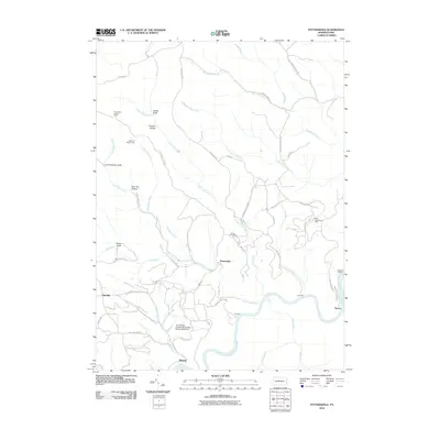 2010 Pottersdale2010 Print · USGSKarthaus Township was characterized by its deep connection to the river and mining industries during the first decade of the 2000s. Researchers can trace land use through the Perry Moshannon Mine, find local family plots at Ganoe Cemetery, and locate the Three Runs Lookout Tower.
 - 2010 Map of Snow Shoe SE, 2010 Print
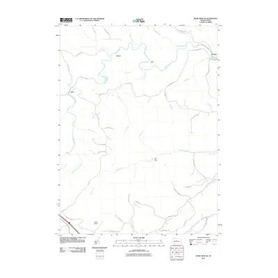 2010 Snow Shoe SE2010 Print · USGSIn the central Pennsylvania mountains during the early 21st century, this area shows a landscape of deep creek valleys and isolated camps. Local researchers can trace the routes between Orviston and Kato or locate the Hogback Tunnel and Devils Elbow.
 - 2010 Map of Slate Run, 2010 Print
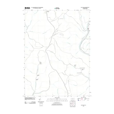 2010 Slate Run2010 Print · USGSThe wilderness of Potter and Lycoming Counties is captured here in the early twenty-first century, centered on the Pine Creek corridor. Local history enthusiasts can trace old logging routes and remote landmarks like Black Forest Inn Airport, Slate Run, and the winding Narrow Gauge Rd.
 - 2010 Map of Young Womans Creek, 2010 Print
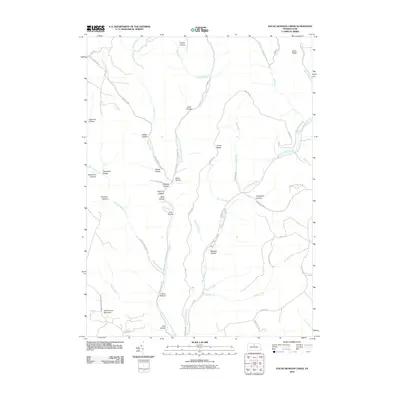 2010 Young Womans Creek2010 Print · USGSPotter County’s forested ridges and deep drainages are captured here in the early 2000s, showing a landscape defined by its complex watershed. Genealogists and hikers can trace the winding paths of Young Womans Creek, Summerson Mountain, and namesake features like Quiggle Hollow.
Showing maps 1-25 of 135
Top cities of Clinton County
- Lock Haven historical maps
- Mill Hall historical maps
- Avis historical maps
- Flemington historical maps
- Castanea Township historical maps
- Beech Creek historical maps
See more
Frequently asked questions
- What are the different types of historical maps available for Clinton County?
- What is the oldest map of Clinton County?
- Where can I purchase historical maps of Clinton County for my home or office?
- Where can I download high-res historical maps of Clinton County?
- Are there historical topographic maps available for Clinton County?
- Is there historical aerial imagery available for Clinton County?
- Where are historical maps of Clinton County sourced from?