2000s (21st Century) Maps of Saint Marys, Pennsylvania
Explore 30 historic maps of Saint Marys from the 2000s (21st Century). These maps offer a rare glimpse into what life looked like during the 2000s — showing old roads, neighborhoods, homes, and landmarks that have changed or disappeared over time.
Whether you're researching your family's past, planning a metal detecting trip, or studying how Saint Marys's landscape evolved across the 2000s, these high-resolution maps are a powerful tool for exploring the history of this region.
- Focus on a specific era: All maps on this page are from the 2000s, giving you a focused view of this time period.
- See what’s changed: Compare century-old streets, trails, and buildings to today's modern landscape using overlays and satellite layers.
- Research with precision: Use these maps for genealogy, historical research, land use analysis, or educational projects.
- View, download, or print: Maps are fully viewable online in high resolution, and can be downloaded or printed for your own records.
Start exploring Saint Marys's history through authentic maps from the 2000s. This is your window into the past.
Saint Marys, PA maps
(30)- 2010 Map of Rathbun, 2010 Print
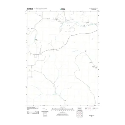 2010 Rathbun2010 Print · USGSElk County at the turn of the decade remains a landscape of deep hollows and timber-related place names. Researchers can trace family ties to small creek-side settlements like Rathbun or Beechwood, and locate remote sites such as Bear Run Camp and Schoolhouse Hollow.
 - 2010 Map of Saint Marys, 2010 Print
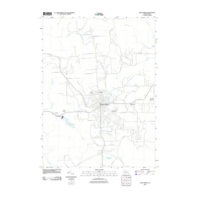 2010 Saint Marys2010 Print · USGSSaint Marys and its surrounding Elk County neighborhoods appear in detail as they were in the early twenty-first century. Genealogists and local historians can trace family locations from Lynchville to Kaulmont or locate burials in the Saint Marys Cemetery.
 - 2010 Map of Wildwood Fire Tower, 2010 Print
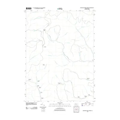 2010 Wildwood Fire Tower2010 Print · USGSElk County at the dawn of the millennium remains a landscape of remote mountain peaks and industrial heritage. Genealogists and local historians can trace named family landmarks like Al Wright Hollow and Jarrets Summit, or locate the site of the Wildwood Fire Tower.
 - 2010 Map of Glen Hazel, 2010 Print
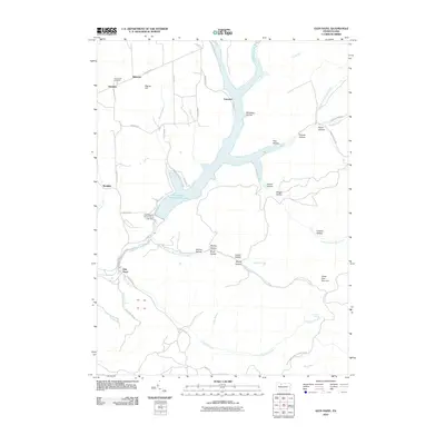 2010 Glen Hazel2010 Print · USGSElk County at the start of the 21st century centers on the waters of the East Branch Clarion River. Genealogists and local historians can trace the topography around Glen Hazel, locate the Holy Cross Cemetery, and find family-named landmarks like Pistner Hill.
 - 2011 Map of Wilcox, 2011 Print
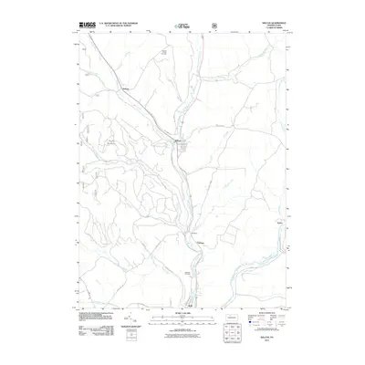 2011 Wilcox2011 Print · USGSElk County's river valleys and energy fields are documented here in the early twenty-first century as industry and recreation meet. Researchers can trace the layout of Wilcox, locate the Wardville Cemetery, and explore the reaches of the Nansen Oil and Gas Field.
 - 2011 Map of Ridgway, 2011 Print
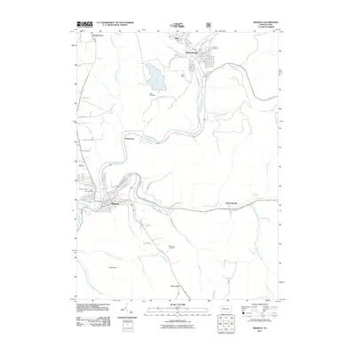 2011 Ridgway2011 Print · USGSThe industrial river valleys of Elk County are shown in great detail during the early 2010s. Researchers can trace family sites at Thayer Cemetery, follow the winding Clarion River, or locate landmarks like the Boot Jack Fire Tower.
 - 2013 Map of Wilcox, 2013 Print
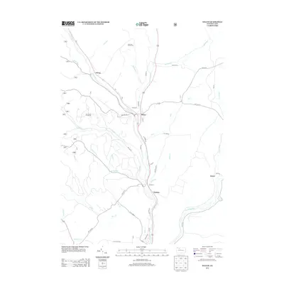 2013 Wilcox2013 Print · USGSElk County at the start of the 2010s shows a landscape deeply tied to its river valleys and energy resources. Local historians can trace the footprints of Wilcox, Dahoga, and the expansive Nansen Oil and Gas Field along the winding W Br Clarion River.
 - 2013 Map of Wildwood Fire Tower, 2013 Print
 2013 Wildwood Fire Tower2013 Print · USGSThe Elk County timberlands appear in high detail during the early twenty-first century, centering on the high ground near Wildwood Fire Tower. Genealogists and hikers can trace numerous family-named landmarks and drainages like Jarrets Summit, Dead Mans Lick, and Boy Scout Hollow.
 - 2013 Map of Rathbun, 2013 Print
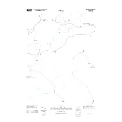 2013 Rathbun2013 Print · USGSElk County at the start of the 2010s is a landscape of rugged drainages and small settlements. Genealogists and historians can trace family-named landmarks like Goetz Summit and Seeley Hollow, or locate old camps and schools along West Cr and Bear Run.
 - 2013 Map of Ridgway, 2013 Print
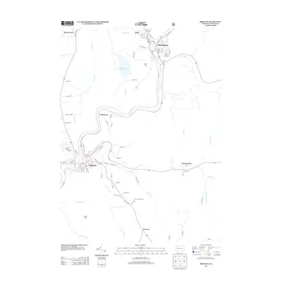 2013 Ridgway2013 Print · USGSElk County at the start of the 2010s shows the enduring industrial character of the Clarion River valley. Genealogists and local historians can trace family roots in Ridgway and Johnsonburg or locate landmarks like the Boot Jack Fire Tower and the Old RR.
 - 2013 Map of Saint Marys, 2013 Print
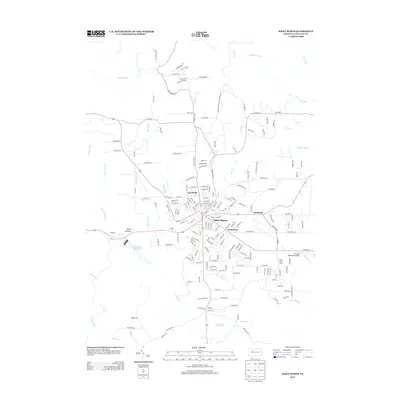 2013 Saint Marys2013 Print · USGSElk County at the start of the 2010s shows a landscape where established settlements meet vital water infrastructure. Researchers can trace the development of Saint Marys and Lynchville alongside local landmarks like the St Marys Municipal Airport and Laurel Run Reservoir.
 - 2013 Map of Glen Hazel, 2013 Print
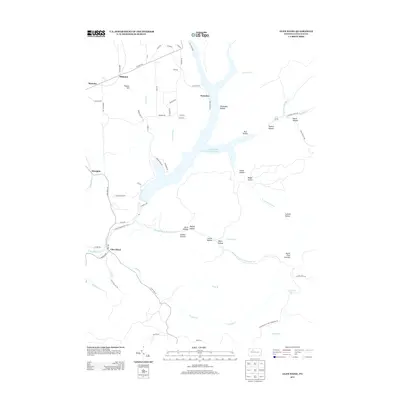 2013 Glen Hazel2013 Print · USGSElk County’s high country and deep hollows are documented here during the early twenty-first century. Researchers can trace land features from Elk State Park to local settlements like Glen Hazel, Instanter, and Midmont.
 - 2016 Map of Saint Marys, 2016 Print
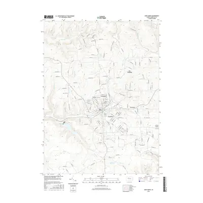 2016 Saint Marys2016 Print · USGSElk County at the start of the twenty-first century shows a fascinating blend of tight-knit neighborhoods and expansive highlands. Researchers can trace the layout of Lynchville and Kaulmont, find family plots at Saint Mary's Catholic Cemetery, and locate the Laurel Run Reservoir.
 - 2016 Map of Ridgway, 2016 Print
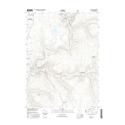 2016 Ridgway2016 Print · USGSElk County valley life is detailed here in the mid-2010s, focusing on the river settlements and industrial geography of the Clarion River basin. Genealogists can locate several family burial grounds, including Saint Leos Cem, Laurel Hill Cem, and Oakmont Cem.
 - 2016 Map of Wildwood Fire Tower, 2016 Print
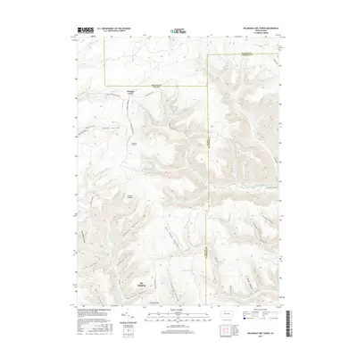 2016 Wildwood Fire Tower2016 Print · USGSThe highland ridges near St. Marys come alive on this map, showing the convergence of Elk, McKean, and Cameron Counties. Genealogists and hikers can trace old routes like Shawmut Grade Rd and find storied landmarks including the Wildwood Fire Tower and Jarrets Summit.
 - 2016 Map of Glen Hazel, 2016 Print
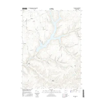 2016 Glen Hazel2016 Print · USGSElk County's highlands and the Clarion River valley are captured in this modern survey during a period of sustained recreational and industrial use. Researchers can trace the layout of St. Marys, locate Holy Cross Cem, and explore the shoreline of E Br Clarion River Lake.
 - 2016 Map of Rathbun, 2016 Print
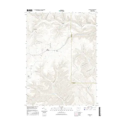 2016 Rathbun2016 Print · USGSElk and Cameron counties are shown here in the mid-2010s, centered on the high ridges and deep hollows surrounding St. Marys. Researchers can locate rural settlements like Rathbun and Beechwood or trace the winding paths of Hellfire Run and Sawdust Run.
 - 2016 Map of Wilcox, 2016 Print
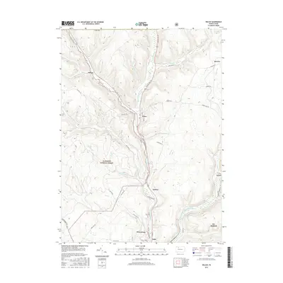 2016 Wilcox2016 Print · USGSElk County’s river valleys and the Allegheny National Forest are shown here as they appeared in the mid-2010s. Local researchers can trace family landmarks and small communities from Wilcox and Johnsonburg to the Wardville Cemetery and Dahoga.
 - 2019 Map of Wilcox, 2019 Print
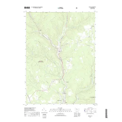 2019 Wilcox2019 Print · USGSElk County's high forest plateaus and river valleys are shown in detail as they appeared in the late 2010s. Researchers can locate family sites and local landmarks like Wilcox Cem or trace the early paths of Burning Well Rd and the Johnsonburg railroad line.
 - 2019 Map of Saint Marys, 2019 Print
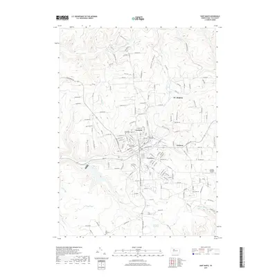 2019 Saint Marys2019 Print · USGSElk County’s industrial and religious heart is visible here in the late 2010s, centered on the historic borough and its radiating neighborhoods. Genealogists and researchers can locate Saint Joseph Convent Cemetery, trace the residential growth of Lynchville, and follow the path of Elk Creek.
 - 2019 Map of Wildwood Fire Tower, 2019 Print
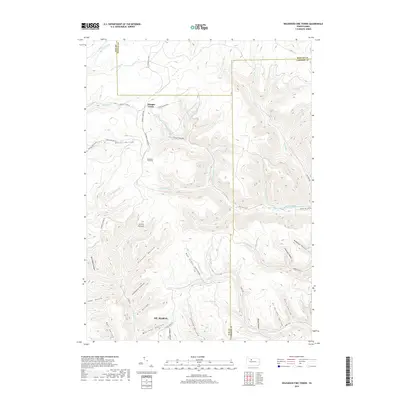 2019 Wildwood Fire Tower2019 Print · USGSElk County high country near the McKean and Cameron borders is captured here in the late twenty-teens. Trace local family history and old logging routes through Boy Scout Hollow, Jarrets Summit, and along the Shawmut Grade Rd.
 - 2019 Map of Glen Hazel, 2019 Print
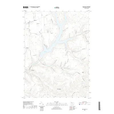 2019 Glen Hazel2019 Print · USGSElk County high country and the upper Clarion River watershed are shown here in the late twenty-teens. Genealogists and hikers can trace local routes like Shawmut Grade Rd and find landmarks such as Holy Cross Cem and the settlement of Glen Hazel.
 - 2019 Map of Rathbun, 2019 Print
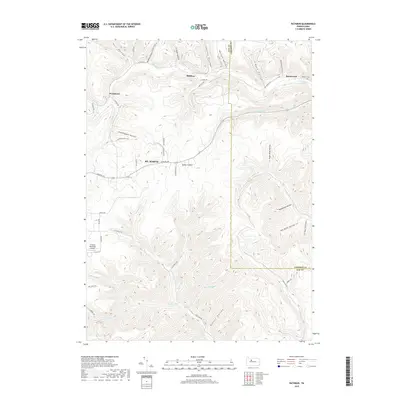 2019 Rathbun2019 Print · USGSElk and Cameron Counties at the end of the 2010s show a landscape of deep hollows and high summits surrounding St. Marys. Researchers can trace old family burial grounds at Markert Cem or explore the isolated valley settlements of Rathbun and Beechwood.
 - 2019 Map of Ridgway, 2019 Print
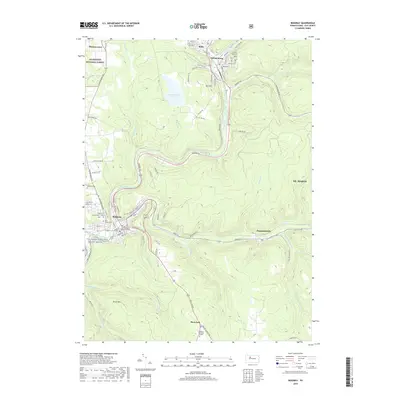 2019 Ridgway2019 Print · USGSElk County's river valleys and forest lands are documented here during a period of modern preservation and established mountain settlements. Genealogists and hikers can locate family plots at Oakmont Cem, trace the remote Dagusca Honda settlement, or explore the Allegheny National Forest boundary.
 - 2023 Map of Wilcox, 2023 Print
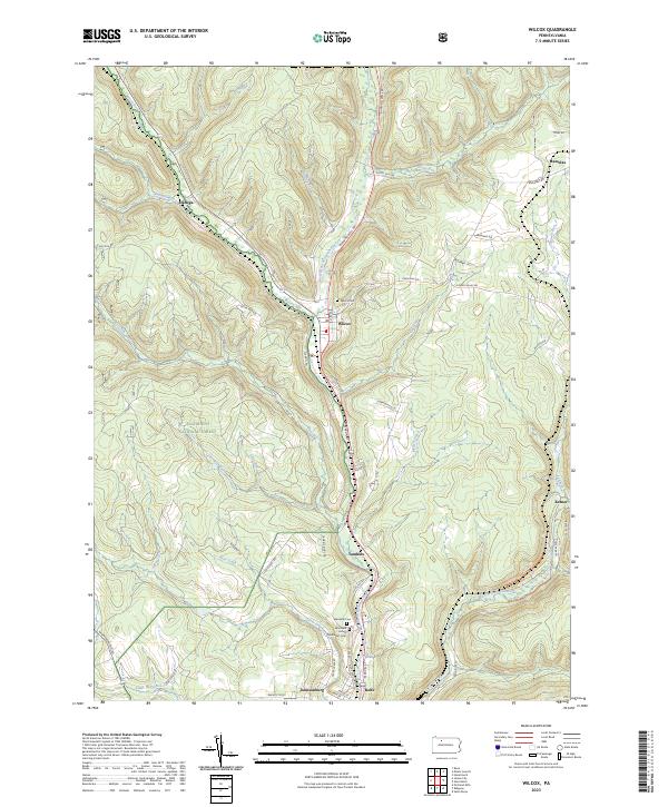 2023 Wilcox2023 Print · USGSElk County’s river valleys and forested uplands are captured in this modern survey of the Wilcox area. Researchers can trace family history through the Wilcox Cem and Wardville Cem or locate old settlements like Dahoga, Tambine, and Ketner.
Showing maps 1-25 of 30
Top cities near Saint Marys
- Ridgway historical maps
- Johnsonburg historical maps
- Liberty Township historical maps
- Norwich Township historical maps
- Goshen Township historical maps
- Wilcox historical maps
See more
Top neighborhoods of Saint Marys
- Kaulmont historical maps
- Lynchville historical maps
- Rathbun historical maps
- Swissmont historical maps
- Downtown Saint Marys historical maps
Frequently asked questions
- What are the different types of historical maps available for Saint Marys?
- What is the oldest map of Saint Marys?
- Where can I purchase historical maps of Saint Marys for my home or office?
- Where can I download high-res historical maps of Saint Marys?
- Are there historical topographic maps available for Saint Marys?
- Is there historical aerial imagery available for Saint Marys?
- Where are historical maps of Saint Marys sourced from?