2020s Maps of Berkeley County, South Carolina
Explore 68 historic maps of Berkeley County from the 2020s. These maps offer a rare glimpse into what life looked like during the 2020s — showing old roads, neighborhoods, homes, and landmarks that have changed or disappeared over time.
Whether you're researching your family's past, planning a metal detecting trip, or studying how Berkeley County's landscape evolved across the 2020s, these high-resolution maps are a powerful tool for exploring the history of this region.
- Focus on a specific era: All maps on this page are from the 2020s, giving you a focused view of this time period.
- See what’s changed: Compare century-old streets, trails, and buildings to today's modern landscape using overlays and satellite layers.
- Research with precision: Use these maps for genealogy, historical research, land use analysis, or educational projects.
- View, download, or print: Maps are fully viewable online in high resolution, and can be downloaded or printed for your own records.
Start exploring Berkeley County's history through authentic maps from the 2020s. This is your window into the past.
Berkeley County, SC maps
(68)- 2020 Map of Ridgeville, 2020 Print
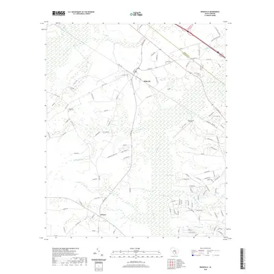 2020 Ridgeville2020 Print · USGSThe rural Lowcountry of Dorchester County is captured here just as the new decade begins, centered on the historic crossroads of Ridgeville. Genealogists and local historians can trace family locations near Givhans, Cummings Chapel Cem, and the wetlands of Four Hole Swamp.
 - 2020 Map of Summerville, 2020 Print
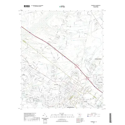 2020 Summerville2020 Print · USGSThe Lowcountry landscape near Summerville is captured here during its recent suburban expansion. Researchers can trace historic family landmarks and community hubs like Lotts Crossroads, Lincolnville, and the New Hope Cem.
 - 2020 Map of Summerville NW, 2020 Print
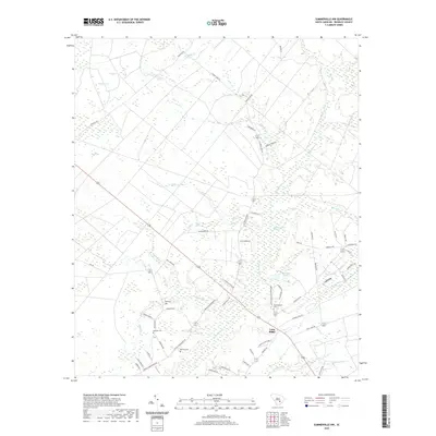 2020 Summerville NW2020 Print · USGSSouth Carolina’s Lowcountry is revealed here in the recent era as a complex network of wetlands and rural timber lands. Genealogists can locate family landmarks like Lebanon Cem or Wassamassaw Cem near the historic Wassamassaw Swamp.
 - 2020 Map of Sandridge, 2020 Print
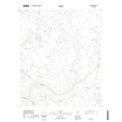 2020 Sandridge2020 Print · USGSSmall settlements and rural family cemeteries dot the lowcountry landscape at the tri-county corner of Orangeburg, Berkeley, and Dorchester. Genealogists can locate family landmarks like Joiner Cem and Blaco Creek Cem near Tugtown.
 - 2020 Map of Butlers Bay, 2020 Print
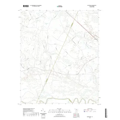 2020 Butlers Bay2020 Print · USGSCoastal South Carolina's lowcountry transition is preserved here, showing the rural landscapes of Williamsburg and Clarendon counties. Genealogists and historians can trace family-named sites like Keels Cem and the landings near Cahusac Lake or Greeleyville.
 - 2020 Map of Eadytown, 2020 Print
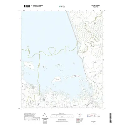 2020 Eadytown2020 Print · USGSThe waters of Lake Marion meet the Berkeley County shoreline in this 2020 study of a landscape shaped by the Santee River system. Genealogists and local historians can trace family markers at the Thomas Walter Grave, Rocks Cem, and the Mount Pleasant Plantation Cem.
 - 2020 Map of Moncks Corner, 2020 Print
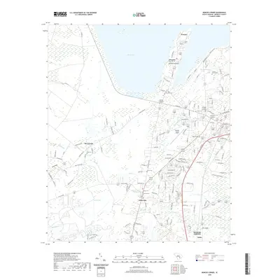 2020 Moncks Corner2020 Print · USGSMoncks Corner and the southern shores of Lake Moultrie appear in high detail during this recent period of South Carolina growth. Researchers can locate numerous family and community burial grounds like Thornley Memorial Cem, Saint Johns Cem, and Graham Cem.
 - 2020 Map of Cross, 2020 Print
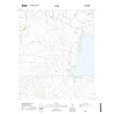 2020 Cross2020 Print · USGSBerkeley County's low country is captured here in the modern era, showing the intersection of rural life and the waters of Lake Moultrie. Genealogists and local historians can trace community roots through numerous burial grounds like Mount Olivet Cem and Grooms Cem.
 - 2020 Map of Chicora, 2020 Print
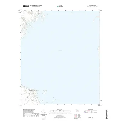 2020 Chicora2020 Print · USGSBerkeley County's shoreline is defined by the massive waters of the Santee Cooper project in this 2020 survey. Researchers can trace the layout of the Chicora settlement and follow local routes like Blacks Camp Rd and Dehayville Dr.
 - 2020 Map of Pringletown, 2020 Print
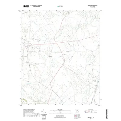
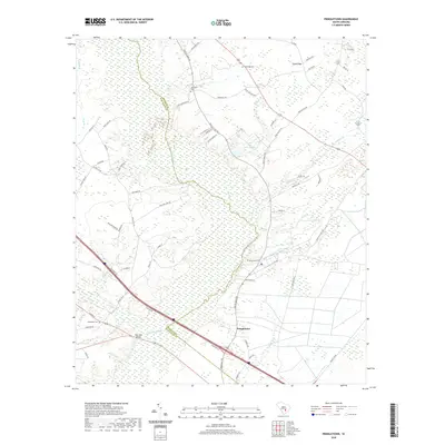 2020 Pringletown2020 Print · USGSThe rural Lowcountry near the Berkeley and Dorchester county line is characterized by the vast Four Hole Swamp and its many branches. Genealogists and local historians can trace the community of Pringletown and identify long-standing landmarks like Springhill Cem and Limestone Cem.
 - 2020 Map of Mount Holly, 2020 Print
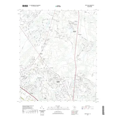 2020 Mount Holly2020 Print · USGSBerkeley County undergoes significant modern development in the years following the turn of the millennium. Researchers can trace local lineage through several burial grounds like Groomsville Cem and Salem Cem, or locate historic hubs at Strawberry and Carnes Crossroad.
 - 2020 Map of Pineville, 2020 Print
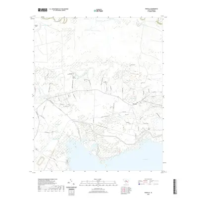 2020 Pineville2020 Print · USGSPineville and the surrounding Berkeley County wetlands are shown here in recent detail, preserved between the river and the lake. Genealogists can locate several plantation burial sites, such as Mahan Plantation Cem, and the notable Site of Francis Marion Tomb.
 - 2020 Map of Jordan, 2020 Print
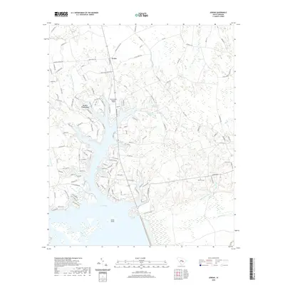 2020 Jordan2020 Print · USGSThe northern waters of Lake Marion dominate this recent survey of the South Carolina lowcountry near Jordan. Genealogists and local historians can trace family road names and locate the Rehoboth Cem amidst the dense wetlands of Wyboo Swamp and Three Hole Swamp.
 - 2020 Map of Ladson, 2020 Print
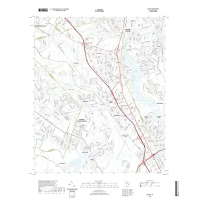 2020 Ladson2020 Print · USGSThe Lowcountry suburbs between Summerville and Goose Creek are shown here in detail during a period of significant modern expansion. Researchers can trace local history through numerous sites like Saint James Goose Creek Cem, the Charleston Air Force Base/International Airport, and the Goose Creek Reservoir.
 - 2020 Map of Sewee Bay, 2020 Print
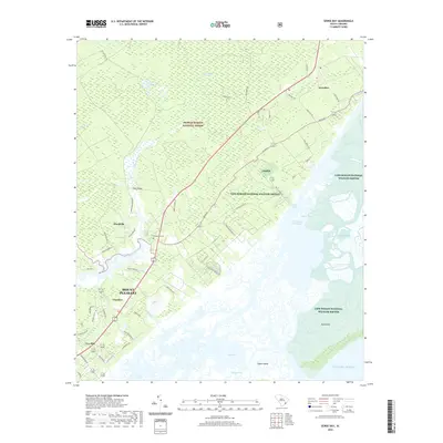 2020 Sewee Bay2020 Print · USGSThe South Carolina Lowcountry comes into focus here just as modern growth meets protected coastal wilderness. Researchers can trace family roots near Awendaw, locate the Wappetaw Cem, and explore the wetlands of Sewee Bay.
 - 2020 Map of Fort Moultrie, 2020 Print
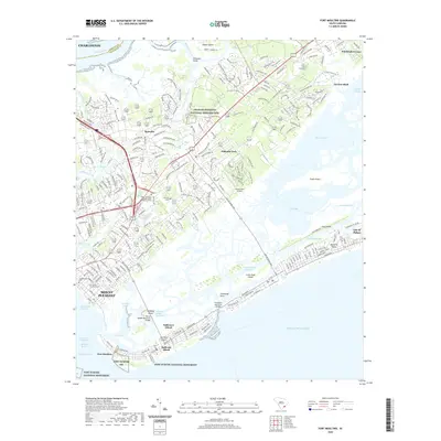 2020 Fort Moultrie2020 Print · USGSCoastal South Carolina comes alive in this contemporary view of the harbor's edge and its barrier islands. Genealogists and historians can trace the evolution of Mount Pleasant and Sullivans Island, or locate landmarks like Fort Moultrie and the Charles Pinckney National Historic Site.
 - 2020 Map of Charleston, 2020 Print
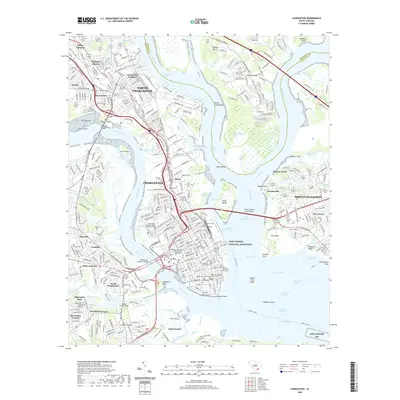 2020 Charleston2020 Print · USGSCharleston and its historic harbor are captured here in the early twenty-first century, showcasing the modern urban landscape. Genealogists and historians can trace the grounds of The Citadel or find family markers in Magnolia Cem and the Quaker Churchyard.
 - 2020 Map of North Charleston, 2020 Print
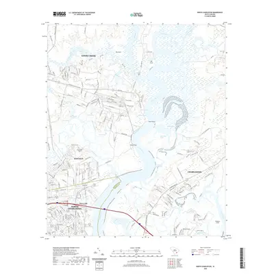 2020 North Charleston2020 Print · USGSThe Lowcountry landscape of coastal South Carolina comes into focus here, showing the river-and-rail economy near the turn of the twenty-first century. Genealogists and local historians can trace the intersection of deep-water reaches like Slack Reach with historic sites such as Yeamans Hall Plantation Cem and the growing suburbs of Hanahan.
 - 2020 Map of Ocean Bay, 2020 Print
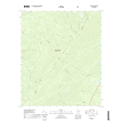 2020 Ocean Bay2020 Print · USGSCoastal South Carolina’s timberlands and wetlands are documented here in 2020 as the area balances forest preservation with local growth. Researchers can trace the heritage of the lowcountry at Apple Old Field Cem or navigate the paths of the Swamp Fox / Palmetto Trail.
 - 2020 Map of Cordesville, 2020 Print
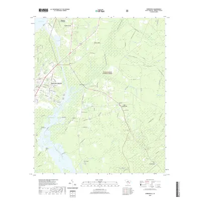 2020 Cordesville2020 Print · USGSIn the South Carolina low country during the early twenty-first century, the landscape remains a complex network of historic waterways and forest land. Genealogists can locate several plantation-era burial sites like Biggin Cem and Cordesville Cem near the edge of the Francis Marion National Forest.
 - 2020 Map of Kittredge, 2020 Print
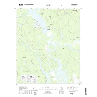 2020 Kittredge2020 Print · USGSThe Lowcountry landscape of Berkeley County is shown here as it appeared in 2020, where the forks of the Cooper River meet. Researchers can trace several historic burial sites and family estates, including Strawberry Chapel Cem, Medway Plantation Cem, and Mepkin.
 - 2020 Map of Saint Stephen, 2020 Print
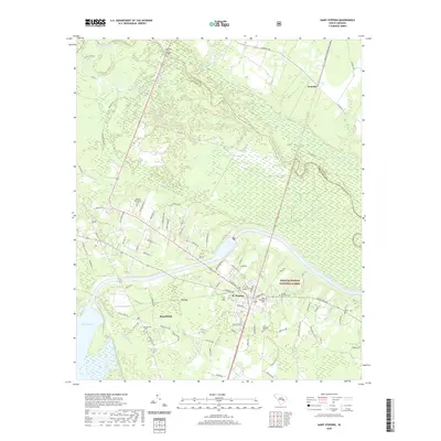 2020 Saint Stephen2020 Print · USGSThe Santee River corridor and the edges of Lake Moultrie come into focus in this recent study of Berkeley County. Genealogists and historians can trace local family landmarks through Oldfield Plantation Cem, Saint Stephens Cem, and the community of Russellville.
 - 2020 Map of Bethera, 2020 Print
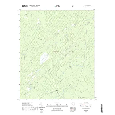 2020 Bethera2020 Print · USGSBerkeley County’s wetland interior and forest communities are captured here in the early twenty-first century. Researchers can trace local lineage through Berea Cem and Hickory Grove Cem or follow old routes like Hell Hole Rd.
 - 2020 Map of Greeleyville, 2020 Print
 2020 Greeleyville2020 Print · USGSGreeleyville and the surrounding Williamsburg County lowlands are captured here in the early twenty-first century, showing a landscape shaped by dense swamp networks and rural crossroads. Genealogists can trace family locations near Mount Hope Cem, Heineman, and the rail junction at Lane.
 - 2020 Map of South Santee, 2020 Print
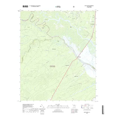 2020 South Santee2020 Print · USGSThe Santee River delta comes into sharp focus in the early 2020s as it winds through the lowcountry of Charleston and Georgetown counties. Genealogists and locals can trace the roads around Britton Neck, find the Mount Zion Cem, and explore the wetlands of the Washo Reserve.
Showing maps 1-25 of 68
Top cities of Berkeley County
- Goose Creek historical maps
- Hanahan historical maps
- Moncks Corner historical maps
- Bonneau historical maps
- Jamestown historical maps
Frequently asked questions
- What are the different types of historical maps available for Berkeley County?
- What is the oldest map of Berkeley County?
- Where can I purchase historical maps of Berkeley County for my home or office?
- Where can I download high-res historical maps of Berkeley County?
- Are there historical topographic maps available for Berkeley County?
- Is there historical aerial imagery available for Berkeley County?
- Where are historical maps of Berkeley County sourced from?