2020s Maps of Dorchester County, South Carolina
Explore 42 historic maps of Dorchester County from the 2020s. These maps offer a rare glimpse into what life looked like during the 2020s — showing old roads, neighborhoods, homes, and landmarks that have changed or disappeared over time.
Whether you're researching your family's past, planning a metal detecting trip, or studying how Dorchester County's landscape evolved across the 2020s, these high-resolution maps are a powerful tool for exploring the history of this region.
- Focus on a specific era: All maps on this page are from the 2020s, giving you a focused view of this time period.
- See what’s changed: Compare century-old streets, trails, and buildings to today's modern landscape using overlays and satellite layers.
- Research with precision: Use these maps for genealogy, historical research, land use analysis, or educational projects.
- View, download, or print: Maps are fully viewable online in high resolution, and can be downloaded or printed for your own records.
Start exploring Dorchester County's history through authentic maps from the 2020s. This is your window into the past.
Dorchester County, SC maps
(42)- 2020 Map of Ridgeville, 2020 Print
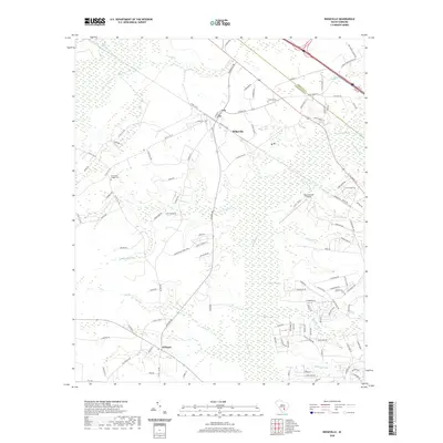 2020 Ridgeville2020 Print · USGSThe rural Lowcountry of Dorchester County is captured here just as the new decade begins, centered on the historic crossroads of Ridgeville. Genealogists and local historians can trace family locations near Givhans, Cummings Chapel Cem, and the wetlands of Four Hole Swamp.
 - 2020 Map of Branchville South, 2020 Print
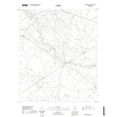 2020 Branchville South2020 Print · USGSBranchville and the rural Lowcountry of the early twenty-first century are captured here as the Edisto River winds through four bordering counties. Genealogists can locate family burial grounds including Buckhead Cem, Risher Cem, and the May - Stokes - Raysor Cem.
 - 2020 Map of Summerville, 2020 Print
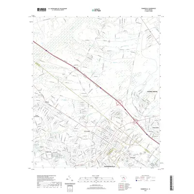 2020 Summerville2020 Print · USGSThe Lowcountry landscape near Summerville is captured here during its recent suburban expansion. Researchers can trace historic family landmarks and community hubs like Lotts Crossroads, Lincolnville, and the New Hope Cem.
 - 2020 Map of Canadys, 2020 Print
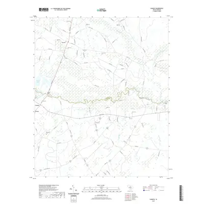 2020 Canadys2020 Print · USGSCoastal plain wetlands and the winding Edisto River define this rural South Carolina landscape at the turn of the 2020s. Researchers can locate numerous family burial sites like Murray Cem and Gruber Cem, alongside river landmarks including Serenity Bluff.
 - 2020 Map of Wadboo Swamp, 2020 Print
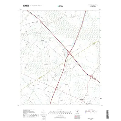 2020 Wadboo Swamp2020 Print · USGSThe borderlands of Dorchester and Orangeburg counties come into focus in the contemporary era, showcasing a landscape of interconnected wetlands and rural settlements. Researchers can trace local history through markers like Duncan Chapel Cem, the community of Whetsell, and the dense reaches of Wadboo Swamp.
 - 2020 Map of Saint George, 2020 Print
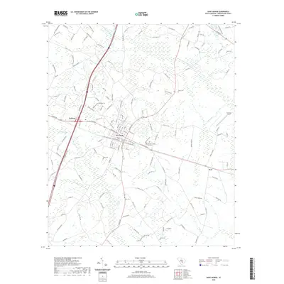 2020 Saint George2020 Print · USGSDorchester County, South Carolina, appears as a junction of transit and tradition in this recent survey. Local historians can trace the community layout of St. George and locate family burial sites like Saint George Cem and Good Hope Cem.
 - 2020 Map of Sandridge, 2020 Print
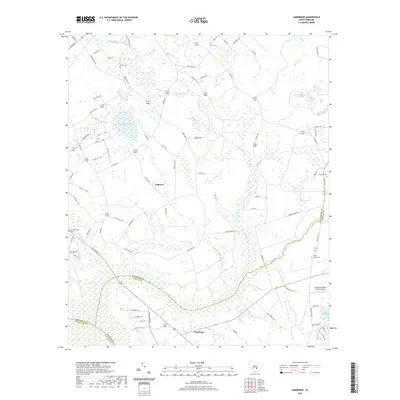 2020 Sandridge2020 Print · USGSSmall settlements and rural family cemeteries dot the lowcountry landscape at the tri-county corner of Orangeburg, Berkeley, and Dorchester. Genealogists can locate family landmarks like Joiner Cem and Blaco Creek Cem near Tugtown.
 - 2020 Map of Holly Hill, 2020 Print
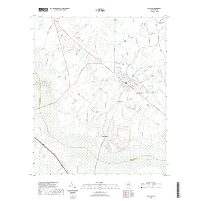 2020 Holly Hill2020 Print · USGSHolly Hill and the surrounding South Carolina swamplands appear here in recent years, showing a landscape shaped by water and tradition. Genealogists can locate several family sites including the Platt Family Cem and Corinth Baptist Church Cem near Four Hole Swamp.
 - 2020 Map of Harleyville, 2020 Print
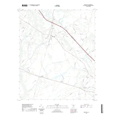 2020 Harleyville2020 Print · USGSHarleyville and the lowcountry swamps of Dorchester County are captured here in the contemporary era. Researchers can trace family history at Mount Zion Cem or explore the rural rail outposts of Pregnall and Dorchester.
 - 2020 Map of Saint George SW, 2020 Print
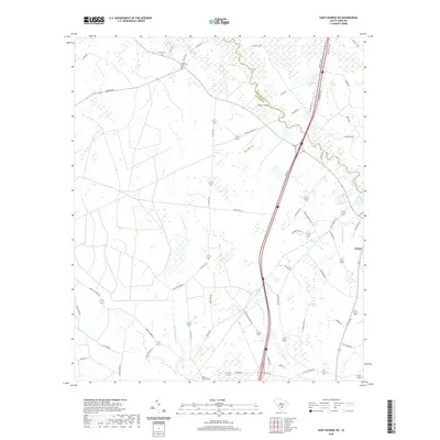 2020 Saint George SW2020 Print · USGSThe Dorchester and Colleton county line comes alive in this study of the South Carolina low country. Genealogists can locate family sites such as Green Pond Cem and Mount Carmel Cem or trace the Edisto River crossing at Raysor Bridge.
 - 2020 Map of Pringletown, 2020 Print
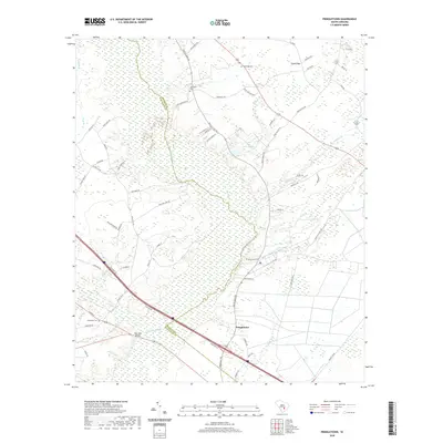 2020 Pringletown2020 Print · USGSThe rural Lowcountry near the Berkeley and Dorchester county line is characterized by the vast Four Hole Swamp and its many branches. Genealogists and local historians can trace the community of Pringletown and identify long-standing landmarks like Springhill Cem and Limestone Cem.
 - 2020 Map of Bowman, 2020 Print
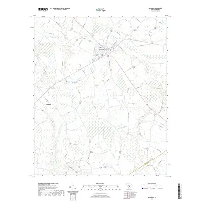 2020 Bowman2020 Print · USGSThe town of Bowman and its surrounding wetlands are captured here in the early twenty-first century. Researchers can trace rural family sites near Mount Tabor Cem and follow the natural drainages of Polk Swamp and Sandy Run.
 - 2020 Map of Reevesville, 2020 Print
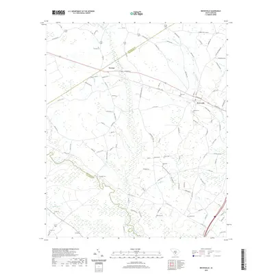 2020 Reevesville2020 Print · USGSDorchester County and the surrounding low-country wetlands are captured here in the modern era. Genealogists can trace family heritage at numerous rural burial sites including Thompson Cemetery, Magnolia Cemetery, and Beulah Cemetery.
 - 2020 Map of Maple Cane Swamp, 2020 Print
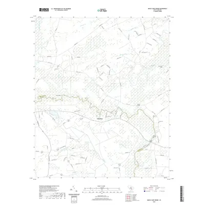 2020 Maple Cane Swamp2020 Print · USGSThe Edisto River Lowcountry comes into focus in the early twenty-first century, showing the intricate wetlands of Colleton and Dorchester counties. Researchers can pinpoint family burial sites like Givhans Ferry Cem and trace historic crossings at Harleys Bridge or Horse Ford Bridge.
 - 2020 Map of Cottageville, 2020 Print
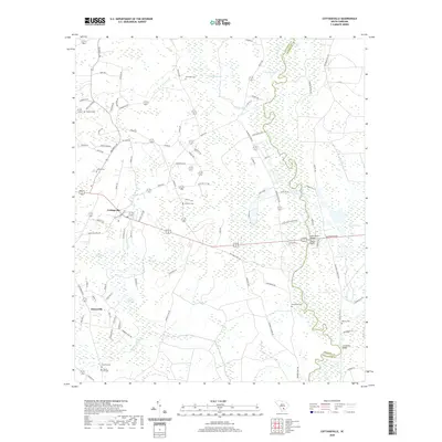 2020 Cottageville2020 Print · USGSCottageville and the Edisto River valley are shown in this contemporary study of Colleton County's Lowcountry terrain. Genealogists can trace family names at Macedonia Cem and Reeves Cem, or locate landmarks like Harts Bluff.
 - 2020 Map of Stallsville, 2020 Print
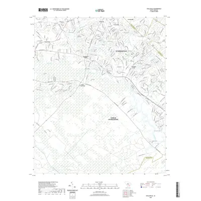 2020 Stallsville2020 Print · USGSThe Lowcountry landscape of Dorchester and Charleston counties is captured here in the modern era, as suburbs meet ancient swamplands. Researchers can trace the boundaries of Middleton Place or locate family plots at Boone Hill Cem and Salters Cem.
 - 2020 Map of Clubhouse Crossroads, 2020 Print
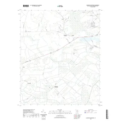 2020 Clubhouse Crossroads2020 Print · USGSDorchester County's wetlands and riverfront are documented in this recent survey of the Lowcountry. Researchers can locate several rural burial grounds like Magnolia Cem and trace old routes through Coachmans Corners and Gettysville.
 - 2020 Map of Ravenel, 2020 Print
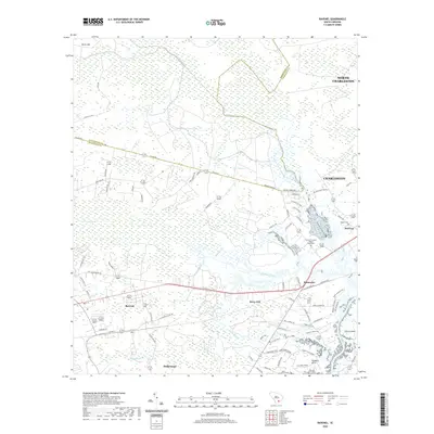 2020 Ravenel2020 Print · USGSThe South Carolina Lowcountry west of Charleston is documented here in the early twenty-first century as suburban growth meets coastal wetlands. Researchers can trace family history through local landmarks like Hughes Cem, the Tomb of Colonel William Washington, and the communities of Ravenel and Hollywood.
 - 2020 Map of Jacksonboro, 2020 Print
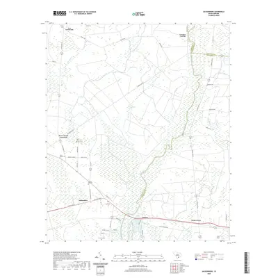 2020 Jacksonboro2020 Print · USGSThe Lowcountry riverfront near the Colleton and Charleston county lines is documented here in the early twenty-first century. Genealogists and historians can trace family landmarks and early settlements like Jacksonboro, the Isaac Hayne Tomb, and White Meeting Cem.
 - 2020 Map of Ladson, 2020 Print
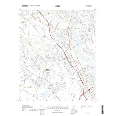 2020 Ladson2020 Print · USGSThe Lowcountry suburbs between Summerville and Goose Creek are shown here in detail during a period of significant modern expansion. Researchers can trace local history through numerous sites like Saint James Goose Creek Cem, the Charleston Air Force Base/International Airport, and the Goose Creek Reservoir.
 - 2020 Map of Osborn, 2020 Print
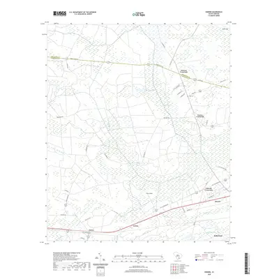 2020 Osborn2020 Print · USGSCoastal South Carolina wetlands and rural crossroads define this area near the turn of the decade. Genealogists and historians can trace family locations through White Cem and small settlements like Delemar Crossroads, Jericho, and Osborn.
 - 2024 Map of Clubhouse Crossroads, 2024 Print
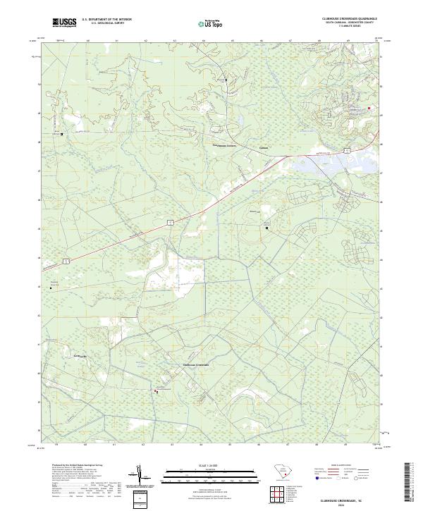 2024 Clubhouse Crossroads2024 Print · USGSDorchester County's rural character remains evident in these coastal plain wetlands during the early twenty-first century. Genealogists and local historians can trace family locations through several community burial grounds, including Sand Hill Church Graveyard and Shepherd Grove Cem.
 - 2024 Map of Cottageville, 2024 Print
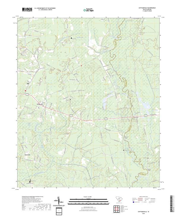 2024 Cottageville2024 Print · USGSThe South Carolina Lowcountry is showcased in the mid-2020s, where the Edisto River snakes through the dense wetlands of Colleton and Dorchester counties. Genealogists can trace numerous local burial sites including Macedonia Cem, Ackerman Cem, and Church Hill Cem.
 - 2024 Map of Reevesville, 2024 Print
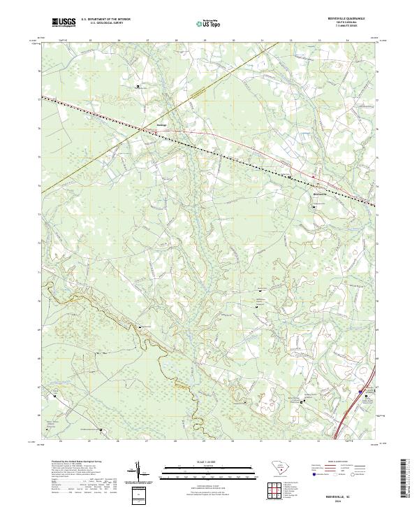 2024 Reevesville2024 Print · USGSDorchester County's rural character remains evident in the early twenty-first century, centered on the historic railroad town of Reevesville. Genealogists can trace deep local roots at sites like the Appleby Church Graveyard, Magnolia Cem, and the Patrick Cem near the Edisto River.
 - 2024 Map of Ridgeville, 2024 Print
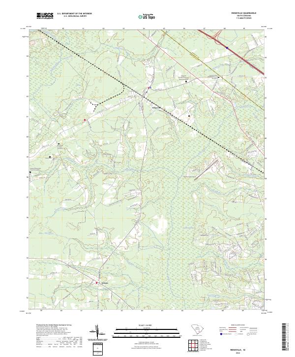 2024 Ridgeville2024 Print · USGSRidgeville and the surrounding Lowcountry wetlands are documented in this modern era as the area balances its rural heritage with gradual growth. Researchers can locate several historic burial sites, including Harrell Cem and the Cypress United Methodist Church Graveyard.
Showing maps 1-25 of 42
Top cities of Dorchester County
- Summerville historical maps
- Ridgeville historical maps
- Harleyville historical maps
- Reevesville historical maps
Frequently asked questions
- What are the different types of historical maps available for Dorchester County?
- What is the oldest map of Dorchester County?
- Where can I purchase historical maps of Dorchester County for my home or office?
- Where can I download high-res historical maps of Dorchester County?
- Are there historical topographic maps available for Dorchester County?
- Is there historical aerial imagery available for Dorchester County?
- Where are historical maps of Dorchester County sourced from?