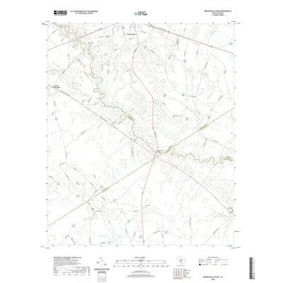
2020 Map of Branchville South
USGS Topo · Published 2020About this map
Branchville and the winding Edisto River anchor this South Carolina landscape at a point where five county lines—Orangeburg, Bamberg, Colleton, and Dorchester—converge. The river’s path is marked by crossing points like Fitts Bridge and the Sandy Island Bridge, tracing a swampy corridor through the Lowcountry terrain. This survey reflects a predominantly rural character, where small clusters of settlement like Farrell Crossroads are linked by a web of local roads such as Freedom Rd and Miley Rd.
Find a feature on this map
77 named features on this map. Tap any name to fly to it.
Don’t see what you’re looking for? This feature index may not catch every label — zoom into the map to look around manually.
Map Details
Editions of this 2020 Branchville South Map
This is the sole edition of this map. No revisions or reprints were ever made.
Other maps of this area

1919 · Lodge
USGS Topo · 1:62,500

1920 · Bowman
USGS Topo · 1:48,000

1920 · Lodge
USGS Topo · 1:48,000

1920 · Orangeburg
USGS Topo · 1:48,000

1920 · St. George
USGS Topo · 1:48,000

1921 · Orangeburg
USGS Topo · 1:62,500

1921 · Lodge
USGS Topo · 1:62,500

1921 · Bowman
USGS Topo · 1:62,500

1921 · St. George
USGS Topo · 1:62,500

1943 · Bowman
USGS Topo · 1:62,500