2000s (21st Century) Maps of Jasper County, South Carolina
Explore 120 historic maps of Jasper County from the 2000s (21st Century). These maps offer a rare glimpse into what life looked like during the 2000s — showing old roads, neighborhoods, homes, and landmarks that have changed or disappeared over time.
Whether you're researching your family's past, planning a metal detecting trip, or studying how Jasper County's landscape evolved across the 2000s, these high-resolution maps are a powerful tool for exploring the history of this region.
- Focus on a specific era: All maps on this page are from the 2000s, giving you a focused view of this time period.
- See what’s changed: Compare century-old streets, trails, and buildings to today's modern landscape using overlays and satellite layers.
- Research with precision: Use these maps for genealogy, historical research, land use analysis, or educational projects.
- View, download, or print: Maps are fully viewable online in high resolution, and can be downloaded or printed for your own records.
Start exploring Jasper County's history through authentic maps from the 2000s. This is your window into the past.
Jasper County, SC maps
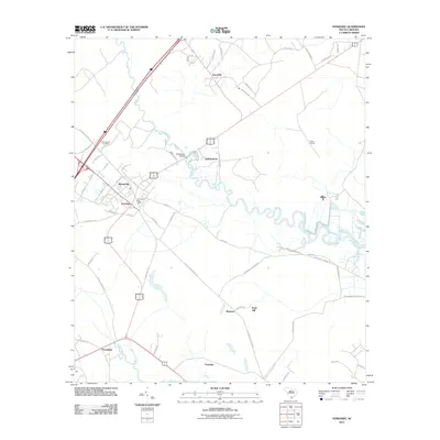
(120)- 2011 Map of Calfpen Bay, 2011 Print
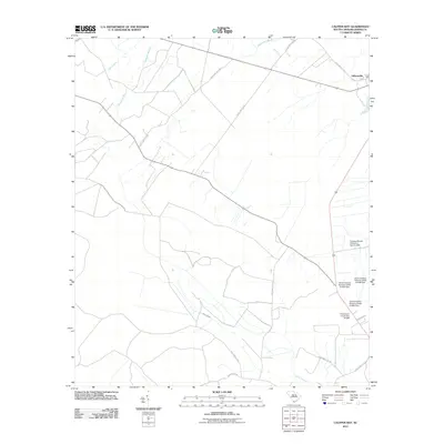 2011 Calfpen Bay2011 Print · USGSCovers Jasper County, including Gillisonville, United States, and other nearby areas
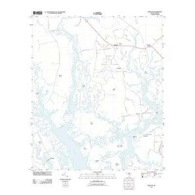
 - 2011 Map of Brighton, 2011 Print
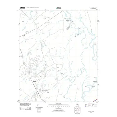
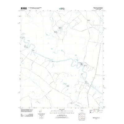 2011 Brighton2011 Print · USGSCovers Jasper County, including Brighton, Stokes Bluff Landing, and other nearby areas
 - 2011 Map of Tillman, 2011 Print
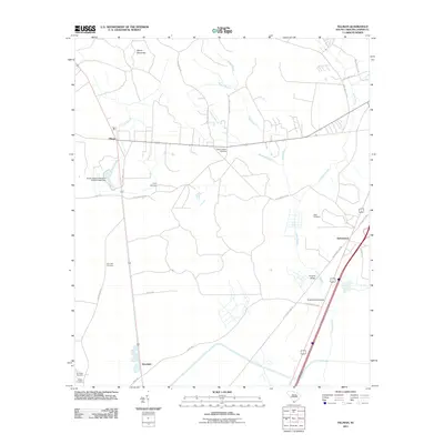 2011 Tillman2011 Print · USGSCovers Jasper County, including Hardeeville, Deerfield, and other nearby areas
 - 2011 Map of Furman, 2011 Print
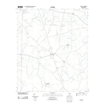 2011 Furman2011 Print · USGSCovers Jasper County, including Estill, Furman, and other nearby areas
 - 2011 Map of Pineland, 2011 Print
 2011 Pineland2011 Print · USGSCovers Jasper County, including Robertville, Garnett, and other nearby areas
 - 2011 Map of Grays, 2011 Print
 2011 Grays2011 Print · USGSCovers Jasper County, including Horsegall, Grays, and other nearby areas
 - 2011 Map of Hampton, 2011 Print
 2011 Hampton2011 Print · USGSCovers Jasper County, including Hampton, Varnville, and other nearby areas
 - 2011 Map of Limehouse, 2011 Print
 2011 Limehouse2011 Print · USGSCovers Jasper County, including Bluffton, Hardeeville, and other nearby areas
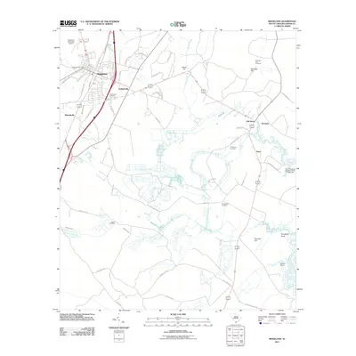
 - 2011 Map of Hardeeville, 2011 Print
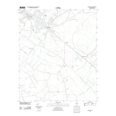
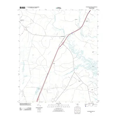
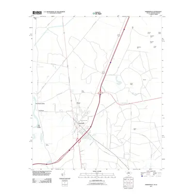 2011 Hardeeville2011 Print · USGSCovers Jasper County, including Bluffton, Hardeeville, and other nearby areas
 - 2011 Map of Rincon, 2011 Print
 2011 Rincon2011 Print · USGSCovers Jasper County, including Rincon, Birds, and other nearby areas
 - 2011 Map of Hardeeville NW, 2011 Print
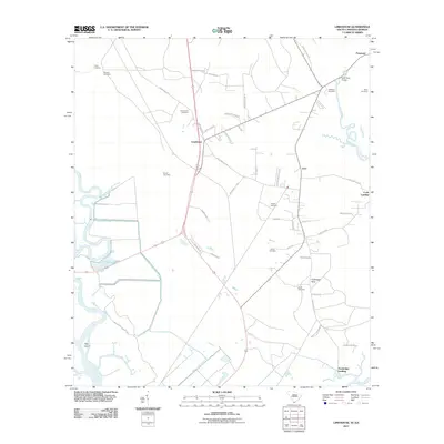
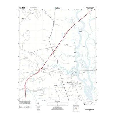
 2011 Hardeeville NW2011 Print · USGSCovers Jasper County, including Berrys Landing, Haddonville, and other nearby areas
 - 2011 Map of Port Wentworth, 2011 Print
 2011 Port Wentworth2011 Print · USGSCovers Jasper County, including Savannah, Pooler, and other nearby areas
 - 2011 Map of Yemassee, 2011 Print
 2011 Yemassee2011 Print · USGSCovers Jasper County, including Yemassee, Blountville, and other nearby areas
 - 2011 Map of Spring Island, 2011 Print
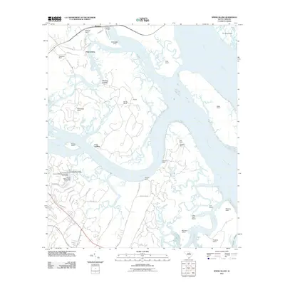 2011 Spring Island2011 Print · USGSCovers Jasper County, including Hilton Head Island, Port Royal, and other nearby areas
 - 2011 Map of Jasper, 2011 Print
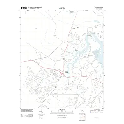 2011 Jasper2011 Print · USGSCovers Jasper County, including Bluffton, Hardeeville, and other nearby areas
 - 2011 Map of Ridgeland, 2011 Print
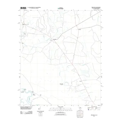
 2011 Ridgeland2011 Print · USGSCovers Jasper County, including Ridgeland, Nevadum, and other nearby areas
 - 2011 Map of Tybee Island North, 2011 Print
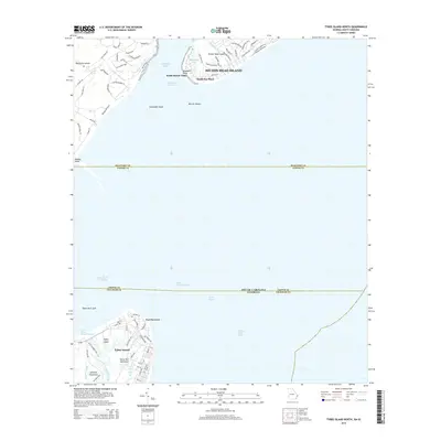
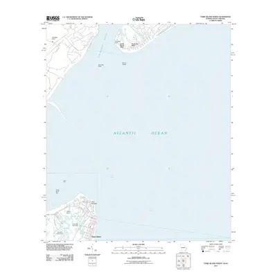 2011 Tybee Island North2011 Print · USGSCovers Jasper County, including Hilton Head Island, Tybee Island, and other nearby areas
 - 2011 Map of Pritchardville, 2011 Print
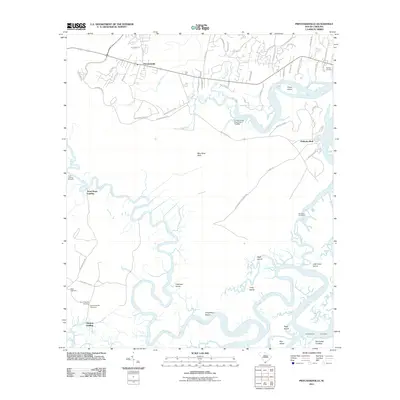 2011 Pritchardville2011 Print · USGSCovers Jasper County, including Bluffton, Pritchardville, and other nearby areas
 - 2011 Map of Laurel Bay, 2011 Print
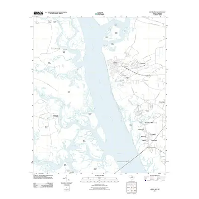 2011 Laurel Bay2011 Print · USGSCovers Jasper County, including Beaufort, Port Royal, and other nearby areas
 - 2011 Map of Sheldon, 2011 Print
 2011 Sheldon2011 Print · USGSCovers Jasper County, including Beaufort, Fairview, and other nearby areas
 - 2011 Map of Coosawhatchie, 2011 Print
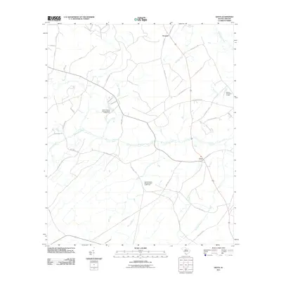
 2011 Coosawhatchie2011 Print · USGSCovers Jasper County, including Ridgeland, Ricetown, and other nearby areas
 - 2011 Map of McPhersonville, 2011 Print
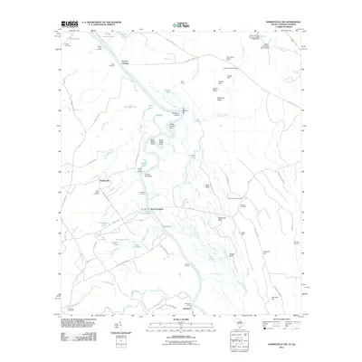
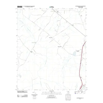 2011 McPhersonville2011 Print · USGSCovers Jasper County, including Barkerville, Kress, and other nearby areas
 - 2011 Map of Fort Pulaski, 2011 Print
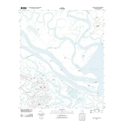 2011 Fort Pulaski2011 Print · USGSCovers Jasper County, including Wilmington Island, Tybee Island, and other nearby areas
 - 2012 Map of Savannah, 2012 Print
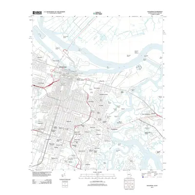 2012 Savannah2012 Print · USGSCovers Jasper County, including Savannah, Whitemarsh Island, and other nearby areas
 - 2014 Map of Tybee Island North, 2014 Print
 2014 Tybee Island North2014 Print · USGSCovers Jasper County, including Hilton Head Island, Tybee Island, and other nearby areas
Showing maps 1-25 of 120
Top cities of Jasper County
Frequently asked questions
- What are the different types of historical maps available for Jasper County?
- What is the oldest map of Jasper County?
- Where can I purchase historical maps of Jasper County for my home or office?
- Where can I download high-res historical maps of Jasper County?
- Are there historical topographic maps available for Jasper County?
- Is there historical aerial imagery available for Jasper County?
- Where are historical maps of Jasper County sourced from?