2000s (21st Century) Maps of Lee County, South Carolina
Explore 75 historic maps of Lee County from the 2000s (21st Century). These maps offer a rare glimpse into what life looked like during the 2000s — showing old roads, neighborhoods, homes, and landmarks that have changed or disappeared over time.
Whether you're researching your family's past, planning a metal detecting trip, or studying how Lee County's landscape evolved across the 2000s, these high-resolution maps are a powerful tool for exploring the history of this region.
- Focus on a specific era: All maps on this page are from the 2000s, giving you a focused view of this time period.
- See what’s changed: Compare century-old streets, trails, and buildings to today's modern landscape using overlays and satellite layers.
- Research with precision: Use these maps for genealogy, historical research, land use analysis, or educational projects.
- View, download, or print: Maps are fully viewable online in high resolution, and can be downloaded or printed for your own records.
Start exploring Lee County's history through authentic maps from the 2000s. This is your window into the past.
Lee County, SC maps
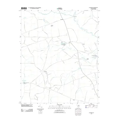
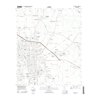
(75)- 2011 Map of Sumter East, 2011 Print
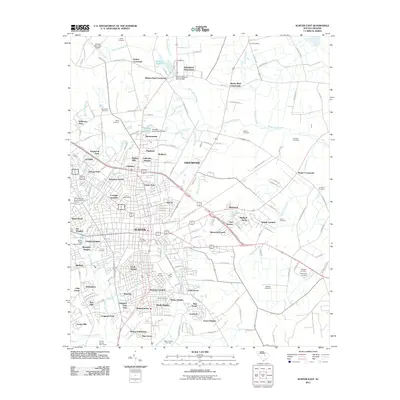 2011 Sumter East2011 Print · USGSCovers Lee County, including Sumter, Guignard Park East, and other nearby areas
 - 2011 Map of Mayesville, 2011 Print
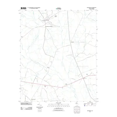 2011 Mayesville2011 Print · USGSCovers Lee County, including Mayesville, Scottsville, and other nearby areas
 - 2011 Map of Turbeville, 2011 Print
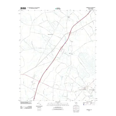 2011 Turbeville2011 Print · USGSCovers Lee County, including Turbeville, Shiloh, and other nearby areas
 - 2011 Map of Lynchburg, 2011 Print
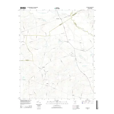
 2011 Lynchburg2011 Print · USGSCovers Lee County, including Lynchburg, Cartersville, and other nearby areas
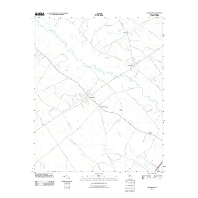
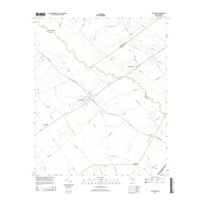
 - 2011 Map of Lucknow, 2011 Print
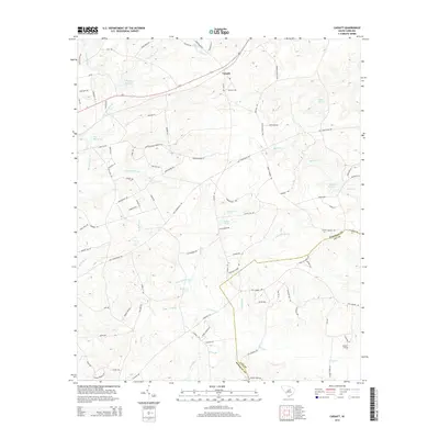
 2011 Lucknow2011 Print · USGSCovers Lee County, including Lucknow, Zemp, and other nearby areas
 - 2011 Map of Bishopville East, 2011 Print
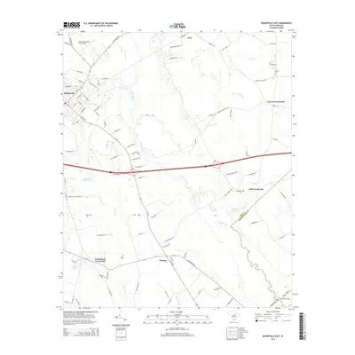
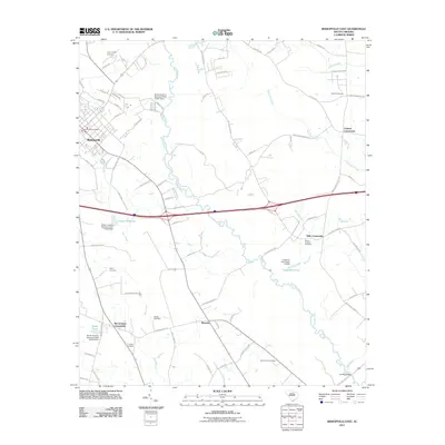 2011 Bishopville East2011 Print · USGSCovers Lee County, including Bishopville, Wisacky, and other nearby areas
 - 2011 Map of Oswego, 2011 Print
 2011 Oswego2011 Print · USGSCovers Lee County, including Ashwood, Oswego, and other nearby areas
 - 2011 Map of Spring Hill, 2011 Print
 2011 Spring Hill2011 Print · USGSCovers Lee County, including Antioch, Pisgah, and other nearby areas
 - 2011 Map of Kellytown, 2011 Print
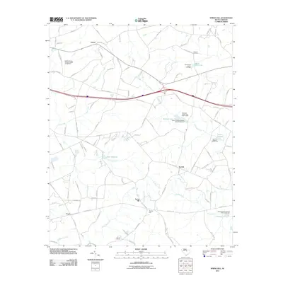
 2011 Kellytown2011 Print · USGSCovers Lee County, including Hartsville, Kellytown, and other nearby areas
 - 2011 Map of Bishopville West, 2011 Print
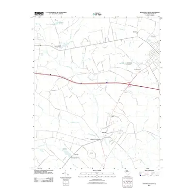 2011 Bishopville West2011 Print · USGSCovers Lee County, including Bishopville, Rose Hill, and other nearby areas
 - 2011 Map of Dalzell, 2011 Print
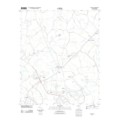 2011 Dalzell2011 Print · USGSCovers Lee County, including Burrows Crossroads, Borden, and other nearby areas
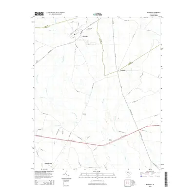
 - 2011 Map of Cassatt, 2011 Print
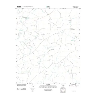 2011 Cassatt2011 Print · USGSCovers Lee County, including Cassatt, Kershaw County, and other nearby areas
 - 2011 Map of Lamar, 2011 Print
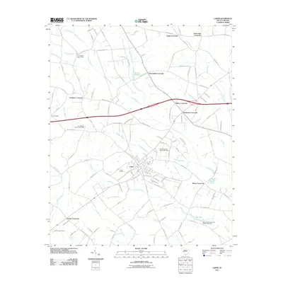 2011 Lamar2011 Print · USGSCovers Lee County, including Lamar, Whites Crossroads, and other nearby areas
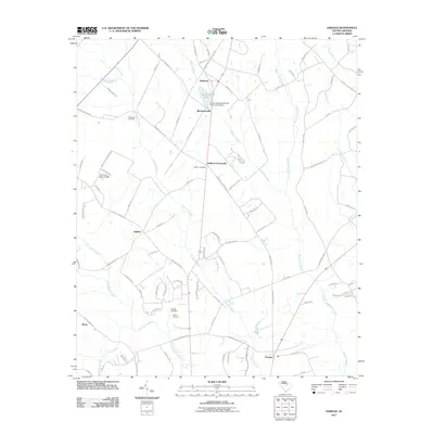
 - 2011 Map of Elliott, 2011 Print
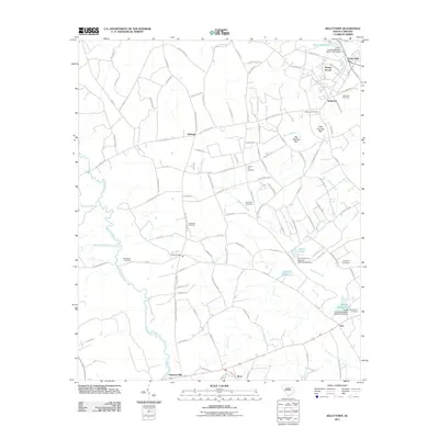
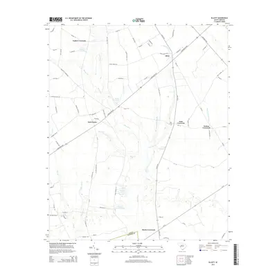
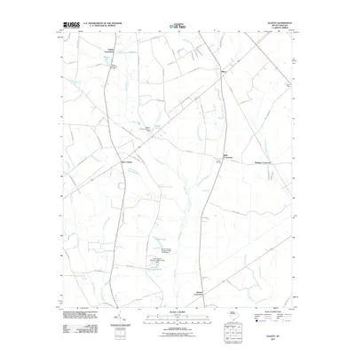 2011 Elliott2011 Print · USGSCovers Lee County, including Rhodes Crossroads, Saint Charles, and other nearby areas
 - 2011 Map of Hartsville South, 2011 Print
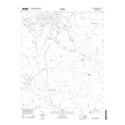
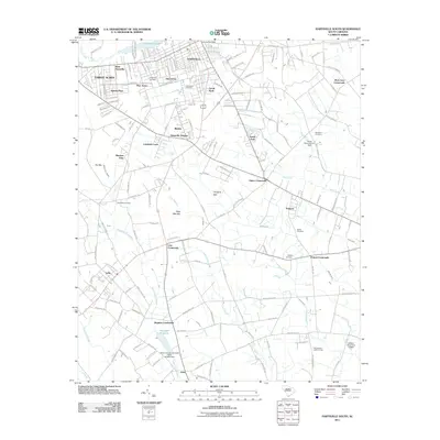 2011 Hartsville South2011 Print · USGSCovers Lee County, including Hartsville, Georgia Estates, and other nearby areas
 - 2014 Map of Turbeville, 2014 Print
 2014 Turbeville2014 Print · USGSCovers Lee County, including Turbeville, Shiloh, and other nearby areas
 - 2014 Map of Sumter East, 2014 Print
 2014 Sumter East2014 Print · USGSCovers Lee County, including Sumter, Guignard Park East, and other nearby areas
 - 2014 Map of Mayesville, 2014 Print
 2014 Mayesville2014 Print · USGSCovers Lee County, including Mayesville, Scottsville, and other nearby areas
 - 2014 Map of Lynchburg, 2014 Print
 2014 Lynchburg2014 Print · USGSCovers Lee County, including Lynchburg, Cartersville, and other nearby areas
 - 2014 Map of Spring Hill, 2014 Print
 2014 Spring Hill2014 Print · USGSCovers Lee County, including Antioch, Pisgah, and other nearby areas
 - 2014 Map of Cassatt, 2014 Print
 2014 Cassatt2014 Print · USGSCovers Lee County, including Cassatt, Kershaw County, and other nearby areas
 - 2014 Map of Lucknow, 2014 Print
 2014 Lucknow2014 Print · USGSCovers Lee County, including Lucknow, Zemp, and other nearby areas
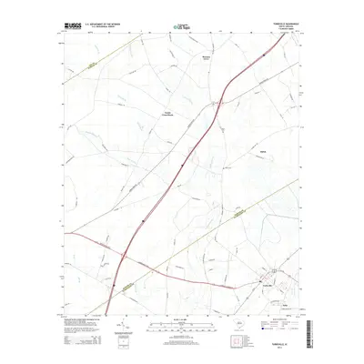
 - 2014 Map of Elliott, 2014 Print
 2014 Elliott2014 Print · USGSCovers Lee County, including Rhodes Crossroads, Saint Charles, and other nearby areas
 - 2014 Map of Hartsville South, 2014 Print
 2014 Hartsville South2014 Print · USGSCovers Lee County, including Hartsville, Georgia Estates, and other nearby areas
 - 2014 Map of Bishopville East, 2014 Print
 2014 Bishopville East2014 Print · USGSCovers Lee County, including Bishopville, Wisacky, and other nearby areas
Showing maps 1-25 of 75
Top cities of Lee County
Frequently asked questions
- What are the different types of historical maps available for Lee County?
- What is the oldest map of Lee County?
- Where can I purchase historical maps of Lee County for my home or office?
- Where can I download high-res historical maps of Lee County?
- Are there historical topographic maps available for Lee County?
- Is there historical aerial imagery available for Lee County?
- Where are historical maps of Lee County sourced from?