2010s Maps of Lee County, South Carolina
Explore 45 historic maps of Lee County from the 2010s. These maps offer a rare glimpse into what life looked like during the 2010s — showing old roads, neighborhoods, homes, and landmarks that have changed or disappeared over time.
Whether you're researching your family's past, planning a metal detecting trip, or studying how Lee County's landscape evolved across the 2010s, these high-resolution maps are a powerful tool for exploring the history of this region.
- Focus on a specific era: All maps on this page are from the 2010s, giving you a focused view of this time period.
- See what’s changed: Compare century-old streets, trails, and buildings to today's modern landscape using overlays and satellite layers.
- Research with precision: Use these maps for genealogy, historical research, land use analysis, or educational projects.
- View, download, or print: Maps are fully viewable online in high resolution, and can be downloaded or printed for your own records.
Start exploring Lee County's history through authentic maps from the 2010s. This is your window into the past.
Lee County, SC maps
(45)- 2011 Map of Sumter East, 2011 Print
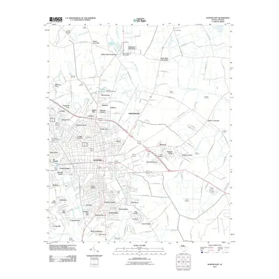 2011 Sumter East2011 Print · USGSSumter at the start of the 2010s shows a landscape of steady growth where established city neighborhoods meet rural crossroads. Researchers can trace family history through sites like Johns Cemetery and White-Dick Cemetery or locate landmarks such as Swan Lake and the University of South Carolina-Sumter.
 - 2011 Map of Mayesville, 2011 Print
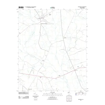 2011 Mayesville2011 Print · USGSMayesville and the surrounding wetlands of Sumter County are captured here in the early 21st century. Genealogists and local historians can trace family-named sites and rural crossroads such as Brunsons Store, Muldrows Crossing, and the Mayesville Black River Cemetery.
 - 2011 Map of Turbeville, 2011 Print
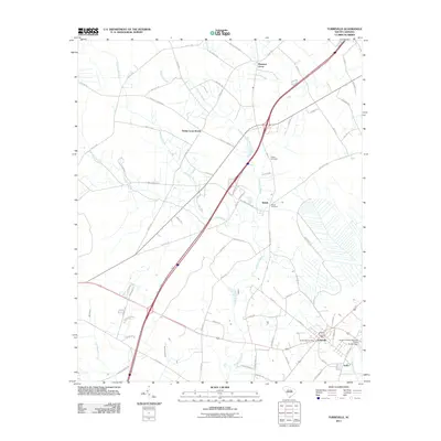 2011 Turbeville2011 Print · USGSClarendon County's low-lying swamp lands and rural settlements are mapped here in the early 2000s as modern interstate routes began to reshape the region. Genealogists and local historians can trace family locations near Shiloh Cemetery, Trinity Cross Roads, and the Turbeville Post Office.
 - 2011 Map of Lynchburg, 2011 Print
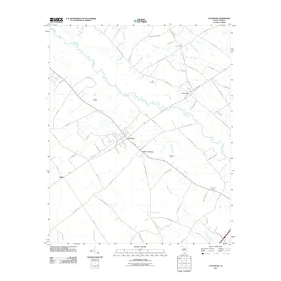 2011 Lynchburg2011 Print · USGSLee County's rural heartland is preserved here in the early twenty-first century, showing the established communities of Lynchburg and Cartersville. Genealogists can trace family connections through numerous burial sites like Sanders Cemetery and Hawkins Cemetery set among the bends of Lynches River.
 - 2011 Map of Lucknow, 2011 Print
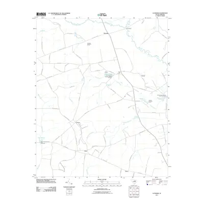 2011 Lucknow2011 Print · USGSIn the rural lowlands of Lee County during the early twenty-first century, traditional South Carolina settlements like Lucknow and Tillersville remain centered around old travel routes. Genealogists can trace family landmarks and burying grounds like Turkey Creek Cemetery and Mount Zion Cemetery among the many creeks and millponds.
 - 2011 Map of Bishopville East, 2011 Print
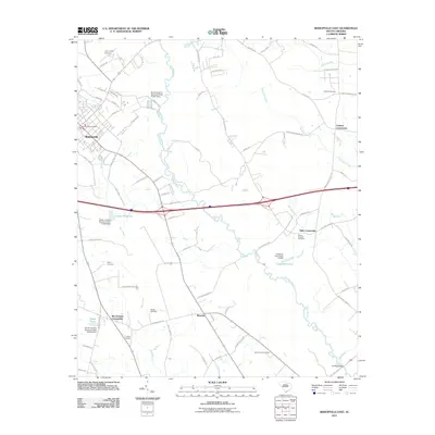 2011 Bishopville East2011 Print · USGSThe rural eastern reaches of Lee County appear in the early 2010s, defined by the winding Lynches River and numerous small crossroads. Researchers can trace local heritage through several burial grounds such as Saint Lukes Cemetery and settlements like Wisacky or Kiffs Crossroads.
 - 2011 Map of Oswego, 2011 Print
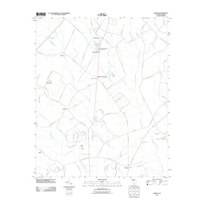 2011 Oswego2011 Print · USGSSumter and Lee Counties are documented in this early 21st-century survey, showcasing a landscape of rural crossroads and extensive swamp networks. Genealogists and local historians can trace family locations near Antioch Cemetery, DuBose Crossroads, and Ashwood Lake.
 - 2011 Map of Spring Hill, 2011 Print
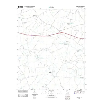 2011 Spring Hill2011 Print · USGSThe rural landscape near Kershaw County in the early 2010s reveals a community centered on local millponds and creek systems. Researchers can trace family history at McCaskill Cemetery or locate old water sites like Shiver Millpond and Corbitts Millpond.
 - 2011 Map of Kellytown, 2011 Print
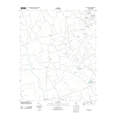 2011 Kellytown2011 Print · USGSKellytown and the rural fringes of Darlington County are captured here just after the turn of the millennium. Local researchers can trace family lands near Stokes Bridge or locate ancestral sites at Kellytown Cemetery and Savannah Cemetery.
 - 2011 Map of Bishopville West, 2011 Print
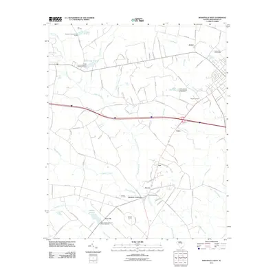 2011 Bishopville West2011 Print · USGSLee County's rural landscape is captured here in the early twenty-first century, showing a network of historic wetland crossings and small communities. Researchers can locate legacy sites like McGirts Millpond, Hammetts Crossroads, and the Ashwood Raceway.
 - 2011 Map of Dalzell, 2011 Print
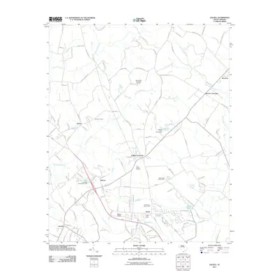 2011 Dalzell2011 Print · USGSSumter County near the start of the 2010s shows a landscape of growing residential hubs and persistent swamplands. Genealogists can locate family landmarks at Mount Carmel Cemetery or trace old routes through Burrows Crossroads and Gaillard Crossroads.
 - 2011 Map of Cassatt, 2011 Print
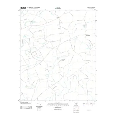 2011 Cassatt2011 Print · USGSThe rural landscapes of Kershaw County are seen here in the early twenty-first century, centered on the community of Cassatt. Researchers can trace old family names and water-powered sites through Ratcliff Millpond, Llewellyn Millpond, and Lockard Cemetery.
 - 2011 Map of Lamar, 2011 Print
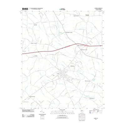 2011 Lamar2011 Print · USGSDarlington County's rural crossroads and lowcountry swamps are captured here in the early twenty-first century. Researchers can trace family-named landmarks and legacy sites like Parnell Cemetery, Andrews Millpond, and Wilkes Crossroads.
 - 2011 Map of Elliott, 2011 Print
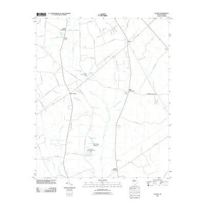 2011 Elliott2011 Print · USGSLee County near the beginning of the 2010s shows a landscape of established crossroads and managed wetlands. Genealogists and local historians can locate Wells Cemetery or trace family-named water bodies like Players Pond and Minnie Deschamps Pond.
 - 2011 Map of Hartsville South, 2011 Print
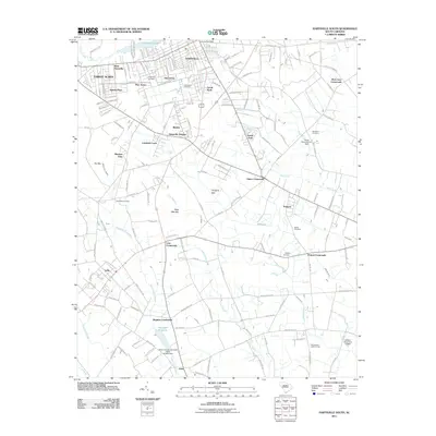 2011 Hartsville South2011 Print · USGSDarlington County's landscape in the early 2010s shows the suburban growth of HARTSVILLE and the rural crossroads of the coastal plain. Researchers can trace family history through sites like Magnolia Cemetery or locate landmarks like the Philadelphia Lookout Tower and Harolds Millpond.
 - 2014 Map of Turbeville, 2014 Print
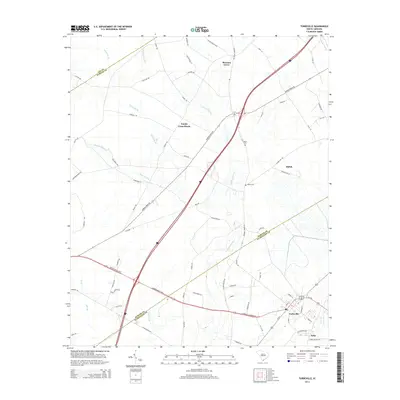 2014 Turbeville2014 Print · USGSCoastal plain settlements and intersecting county lines define the Turbeville area in the early twenty-first century. Researchers can trace local lineage at Asbury Cem or explore the layout of rural crossroads like Trinity Cross Roads and Shiloh.
 - 2014 Map of Sumter East, 2014 Print
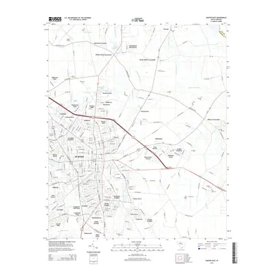 2014 Sumter East2014 Print · USGSThe city of Sumter and its eastern suburbs are shown here during a period of significant growth and development. Genealogists can locate numerous community landmarks such as Sumter Cem, Saint Pauls Cem, and the waters of Whites Millpond.
 - 2014 Map of Mayesville, 2014 Print
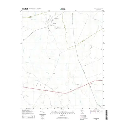 2014 Mayesville2014 Print · USGSThe Sumter County lowlands are captured here during the 2010s, showing a landscape deeply shaped by the Scape Ore Swamp and the Black River. Researchers can trace old family sites and rural hubs like Mayesville, Brunsons Store, and Black River Cem.
 - 2014 Map of Lynchburg, 2014 Print
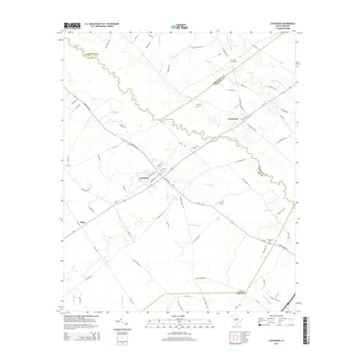 2014 Lynchburg2014 Print · USGSLee County and its neighbors are shown here in the early twenty-first century, centered on the river-split borderlands of the coastal plain. Researchers can trace local heritage at Lynchburg or locate rural landmarks like Saint Pauls Cem and Hawkins Cem.
 - 2014 Map of Spring Hill, 2014 Print
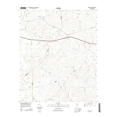 2014 Spring Hill2014 Print · USGSAntioch and the surrounding Lowcountry wetlands of Kershaw County are documented here in the early twenty-first century. Researchers can trace rural lineages through family-named landmarks like McCaskill Cem, Sand Hill Cem, and the reaches of Scape Ore Swamp.
 - 2014 Map of Cassatt, 2014 Print
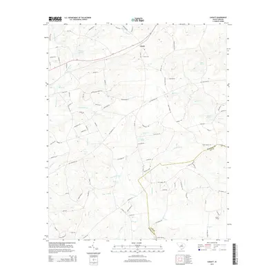 2014 Cassatt2014 Print · USGSThe rural landscape of Kershaw County is detailed here just as it appeared in the early 2010s. Local researchers can trace family landmarks and historical water rights near Llewellyn Millpond, Lockhart Cem, and the settlement of Cassatt.
 - 2014 Map of Lucknow, 2014 Print
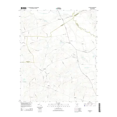 2014 Lucknow2014 Print · USGSThe rural crossroads of Lee and Kershaw counties are captured here in the early twenty-first century. Genealogists and local historians can trace family land and community hubs like Tillersville, Bethany Cem, and the waters of Halls Millpond.
 - 2014 Map of Elliott, 2014 Print
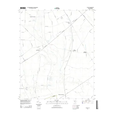 2014 Elliott2014 Print · USGSCoastal plain agriculture and historic rural hubs define this Lee County landscape in 2014. Genealogists and historians can trace family-named landmarks like Minnie Deschamps Pond, the Wells Cem, and settlements such as Saint Charles.
 - 2014 Map of Hartsville South, 2014 Print
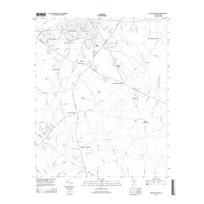 2014 Hartsville South2014 Print · USGSSouth Carolina's Pee Dee region unfolds south of Hartsville in this recent survey, showcasing a landscape of swampy bays and traditional crossroads. Researchers can trace family history through local landmarks like Harolds Mill Pond, Magnolia Cem, and the rural settlement of Lydia.
 - 2014 Map of Bishopville East, 2014 Print
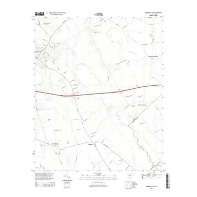 2014 Bishopville East2014 Print · USGSEastern Lee County in the early twenty-first century retains its rural character, shaped by the waters of the Lynches River. Researchers can trace old family sites and rural settlements near Wisacky, McCutchens Crossroads, and cemeteries like Saint Lukes Cem.
Showing maps 1-25 of 45
Top cities of Lee County
Frequently asked questions
- What are the different types of historical maps available for Lee County?
- What is the oldest map of Lee County?
- Where can I purchase historical maps of Lee County for my home or office?
- Where can I download high-res historical maps of Lee County?
- Are there historical topographic maps available for Lee County?
- Is there historical aerial imagery available for Lee County?
- Where are historical maps of Lee County sourced from?