2000s (21st Century) Maps of Aurora County, South Dakota
Explore 100 historic maps of Aurora County from the 2000s (21st Century). These maps offer a rare glimpse into what life looked like during the 2000s — showing old roads, neighborhoods, homes, and landmarks that have changed or disappeared over time.
Whether you're researching your family's past, planning a metal detecting trip, or studying how Aurora County's landscape evolved across the 2000s, these high-resolution maps are a powerful tool for exploring the history of this region.
- Focus on a specific era: All maps on this page are from the 2000s, giving you a focused view of this time period.
- See what’s changed: Compare century-old streets, trails, and buildings to today's modern landscape using overlays and satellite layers.
- Research with precision: Use these maps for genealogy, historical research, land use analysis, or educational projects.
- View, download, or print: Maps are fully viewable online in high resolution, and can be downloaded or printed for your own records.
Start exploring Aurora County's history through authentic maps from the 2000s. This is your window into the past.
Aurora County, SD maps
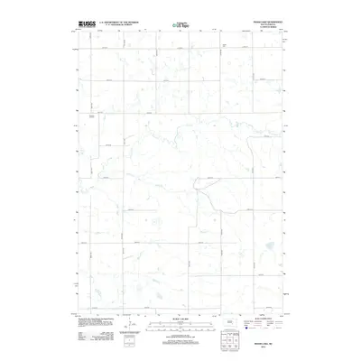
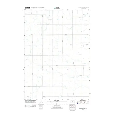
(100)- 2012 Map of Joubert, 2012 Print
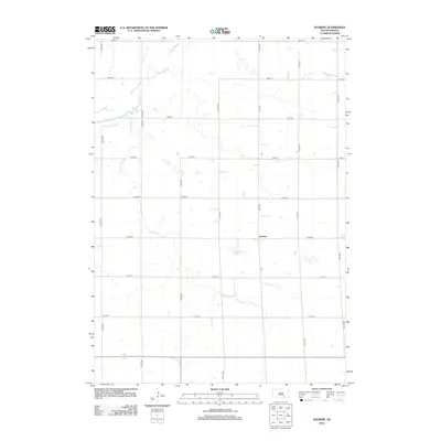 2012 Joubert2012 Print · USGSCovers Aurora County, including Joubert, Darlington Township, and other nearby areas
 - 2012 Map of Crow Lake, 2012 Print
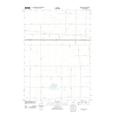
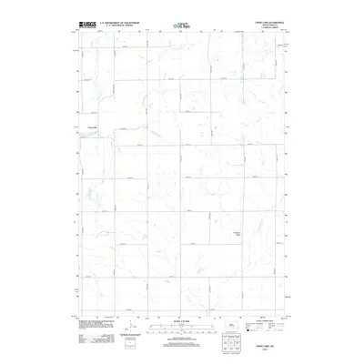 2012 Crow Lake2012 Print · USGSCovers Aurora County, including Crow Lake, Crow Lake Township, and other nearby areas
 - 2012 Map of Archer Hill, 2012 Print
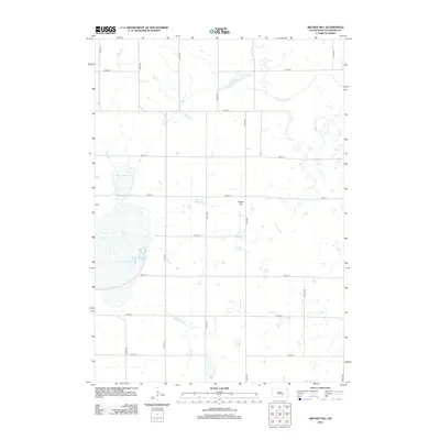 2012 Archer Hill2012 Print · USGSCovers Aurora County, including Patten Township, White Lake Township, and other nearby areas
 - 2012 Map of Aurora Center, 2012 Print
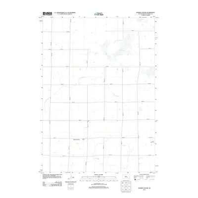 2012 Aurora Center2012 Print · USGSCovers Aurora County, including Truro Township, Crystal Lake Township, and other nearby areas
 - 2012 Map of Isham Lake, 2012 Print
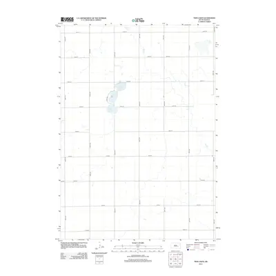
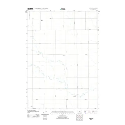
 2012 Isham Lake2012 Print · USGSCovers Aurora County, including Crow Lake Township, Patten Township, and other nearby areas
 - 2012 Map of Fraser Dam, 2012 Print
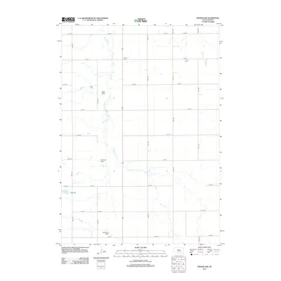 2012 Fraser Dam2012 Print · USGSCovers Aurora County, including Blaine Township, Belford Township, and other nearby areas
 - 2012 Map of Twin Lakes, 2012 Print
 2012 Twin Lakes2012 Print · USGSCovers Aurora County, including Blaine Township, Belford Township, and other nearby areas
 - 2012 Map of Platte Lake, 2012 Print
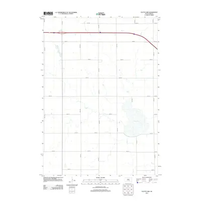 2012 Platte Lake2012 Print · USGSCovers Aurora County, including White Lake Township, Wilbur Township, and other nearby areas
 - 2012 Map of Wilmarth Lake, 2012 Print
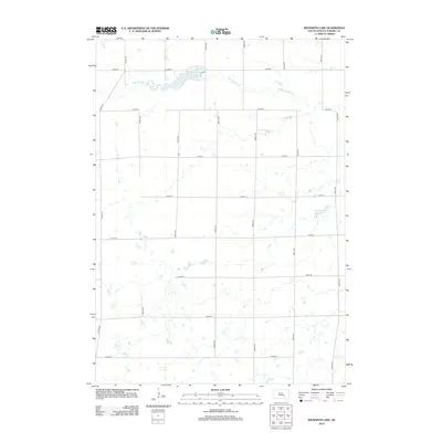 2012 Wilmarth Lake2012 Print · USGSCovers Aurora County, including Firesteel Township, Pleasant Valley Township, and other nearby areas
 - 2012 Map of Storla SW, 2012 Print
 2012 Storla SW2012 Print · USGSCovers Aurora County, including Hopper Township, Belford Township, and other nearby areas
 - 2012 Map of Storla, 2012 Print
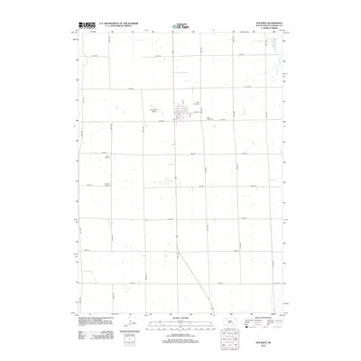
 2012 Storla2012 Print · USGSCovers Aurora County, including Hopper Township, Belford Township, and other nearby areas
 - 2012 Map of Stickney, 2012 Print
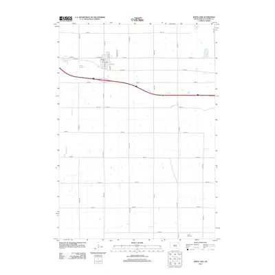
 2012 Stickney2012 Print · USGSCovers Aurora County, including Stickney, Truro Township, and other nearby areas
 - 2012 Map of Plankinton, 2012 Print
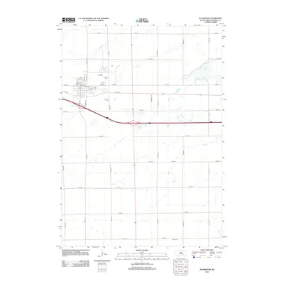 2012 Plankinton2012 Print · USGSCovers Aurora County, including Plankinton, Hopper Township, and other nearby areas
 - 2012 Map of Crystal Lake, 2012 Print
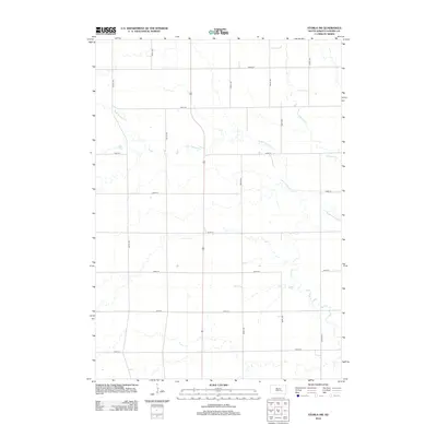
 2012 Crystal Lake2012 Print · USGSCovers Aurora County, including Eureka Township, Crystal Lake Township, and other nearby areas
 - 2012 Map of Corsica, 2012 Print
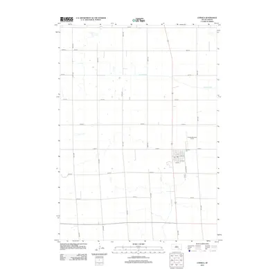 2012 Corsica2012 Print · USGSCovers Aurora County, including Corsica, Holland Township, and other nearby areas
 - 2012 Map of Laffey Lake, 2012 Print
 2012 Laffey Lake2012 Print · USGSCovers Aurora County, including Crystal Lake Township, Center Township, and other nearby areas
 - 2012 Map of Hoagland Lake, 2012 Print
 2012 Hoagland Lake2012 Print · USGSCovers Aurora County, including Viola Township, Pleasant Valley Township, and other nearby areas
 - 2012 Map of Mount Vernon, 2012 Print
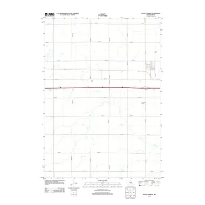 2012 Mount Vernon2012 Print · USGSCovers Aurora County, including Mount Vernon, Hopper Township, and other nearby areas
 - 2012 Map of White Lake, 2012 Print
 2012 White Lake2012 Print · USGSCovers Aurora County, including White Lake, White Lake Township, and other nearby areas
 - 2012 Map of Cedar Grove Colony, 2012 Print
 2012 Cedar Grove Colony2012 Print · USGSCovers Aurora County, including Torrey Lake Township, Cedar Grove Hutterite Colony, and other nearby areas
 - 2012 Map of Platte, 2012 Print
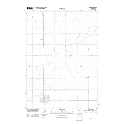 2012 Platte2012 Print · USGSCovers Aurora County, including Platte, Torrey Lake Township, and other nearby areas
 - 2012 Map of New Holland, 2012 Print
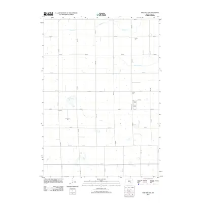 2012 New Holland2012 Print · USGSCovers Aurora County, including Holland Township, Harrison, and other nearby areas
 - 2012 Map of Wilson Dam, 2012 Print
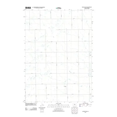 2012 Wilson Dam2012 Print · USGSCovers Aurora County, including Patten Township, White Lake Township, and other nearby areas
 - 2012 Map of Old Stickney Lake, 2012 Print
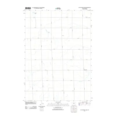 2012 Old Stickney Lake2012 Print · USGSCovers Aurora County, including Union Township, Metzgerville, and other nearby areas
 - 2012 Map of Corsica Lake, 2012 Print
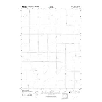
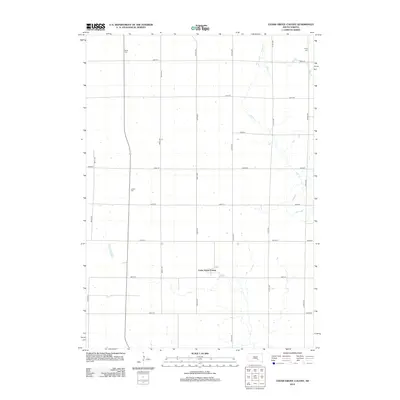
 2012 Corsica Lake2012 Print · USGSCovers Aurora County, including Grandview Township, Valley Township, and other nearby areas
Showing maps 1-25 of 100
Frequently asked questions
- What are the different types of historical maps available for Aurora County?
- What is the oldest map of Aurora County?
- Where can I purchase historical maps of Aurora County for my home or office?
- Where can I download high-res historical maps of Aurora County?
- Are there historical topographic maps available for Aurora County?
- Is there historical aerial imagery available for Aurora County?
- Where are historical maps of Aurora County sourced from?