1990s Maps of Rock Creek District, South Dakota
Explore 11 historic maps of Rock Creek District from the 1990s. These maps offer a rare glimpse into what life looked like during the 1990s — showing old roads, neighborhoods, homes, and landmarks that have changed or disappeared over time.
Whether you're researching your family's past, planning a metal detecting trip, or studying how Rock Creek District's landscape evolved across the 1990s, these high-resolution maps are a powerful tool for exploring the history of this region.
- Focus on a specific era: All maps on this page are from the 1990s, giving you a focused view of this time period.
- See what’s changed: Compare century-old streets, trails, and buildings to today's modern landscape using overlays and satellite layers.
- Research with precision: Use these maps for genealogy, historical research, land use analysis, or educational projects.
- View, download, or print: Maps are fully viewable online in high resolution, and can be downloaded or printed for your own records.
Start exploring Rock Creek District's history through authentic maps from the 1990s. This is your window into the past.
Rock Creek District, SD maps
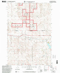
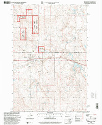
(11)- 1998 Map of Meadow NE, 2001 Print
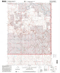 1998 Meadow NE2001 Print · USGSPerkins and Corson counties appear here in the late 1990s as the vast Grand River National Grassland preserves the open prairie. Researchers can trace land use at family operations like O Wiesinger Ranch or locate the site of a Prairie Dog Town.
 - 1998 Map of Twin Butte, 2001 Print
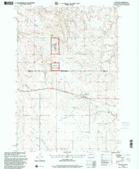
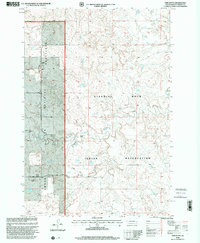 1998 Twin Butte2001 Print · USGSThe northern plains of Corson County are captured here in the late nineties, where the Grand River National Grassland meets the Standing Rock Indian Reservation. Researchers can trace local lineage through numerous family-named landmarks like the G Petik Ranch and L Holen Ranch.
 - 1998 Map of Meadow SE, 2001 Print
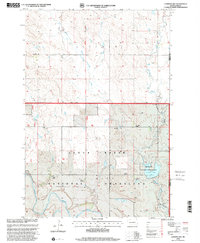
 1998 Meadow SE2001 Print · USGSPerkins County's ranching landscape is documented here in the late twentieth century, showing the intersection of private lands and federal holdings. Trace local water sources and cattle infrastructure like Black Horse Butte Creek, Darling Creek, and various windmills.
 - 1998 Map of Black Horse Butte NW, 2001 Print
 1998 Black Horse Butte NW2001 Print · USGSThe northern plains of Corson County are captured here in the late twentieth century as ranching and conservation define the landscape. Trace family holdings like the T Lyman Ranch and explore the winding path of the Grand River through the Grand River National Grassland.
 - 1998 Map of Glad Valley, 2001 Print
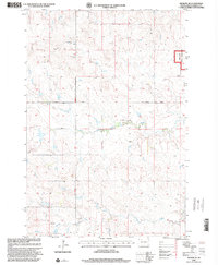
 1998 Glad Valley2001 Print · USGSThe border between two tribal nations and the county line are documented here in the late nineties. Genealogists and historians can trace the settlement of Glad Valley, locate the local Cem, and find the Glad Valley Dam and its spillway.
 - 1998 Map of Keldron, 2001 Print
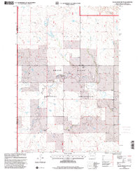
 1998 Keldron2001 Print · USGSDakota ranching country is documented here during the late 1990s, showing the intersection of the Standing Rock Indian Reservation and the Cedar River National Grassland. Genealogists and historians can trace family-named sites like the O Benson Ranch and C Johnson Ranch near the quiet settlement of Keldron.
 - 1998 Map of Black Horse Butte, 2001 Print
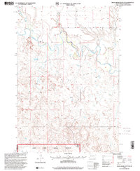
 1998 Black Horse Butte2001 Print · USGSCorson County ranching life is preserved in this late nineties survey of the South Dakota prairie. Genealogists can trace family holdings like the F Schopp Ranch or D Dietterle Ranch near the Black Horse Butte Creek.
 - 1998 Map of Watauga, 2001 Print
 1998 Watauga2001 Print · USGSThe borderlands of South Dakota and North Dakota come alive in this late 1990s survey centered on the rail-side community of Watauga. Genealogists and historians can locate family landmarks like Tomac Ranch, the local Cemetery, and scattered Windmills across the plains.
 - 1998 Map of Lemmon Lake, 2001 Print
 1998 Lemmon Lake2001 Print · USGSPerkins County ranch lands and the open prairie appear in the late 1990s as the regional economy remains tied to the river and the grassland. Genealogists and local historians can locate family landmarks like the B Penfield Ranch, the L Miller Ranch, and the Dewitt School.
 - 1998 Map of Glad Valley NW, 2001 Print
 1998 Glad Valley NW2001 Print · USGSZiebach County, South Dakota, appears at the close of the twentieth century at the intersection of three major federal and tribal jurisdictions. Researchers can trace land use through the Dries Bros Ranch and landmarks like Twin Butte and the Grand River National Grassland.
 - 1998 Map of Morristown, 2001 Print
 1998 Morristown2001 Print · USGSThe borderlands of Corson County come into focus during the late 1990s, showing the town of Morristown surrounded by the Cedar River National Grassland. Genealogists and local historians can locate family landmarks like the A Maier Ranch or the community Cem near the banks of Hay Creek.
End of results
Showing maps 1-11 of 11
Top cities near Rock Creek District
Top neighborhoods of Rock Creek District
- Walker historical maps
- Black Horse historical maps
- Miscol historical maps
- Keldron historical maps
- Thunder Hawk historical maps
- Athboy historical maps
See more
Frequently asked questions
- What are the different types of historical maps available for Rock Creek District?
- What is the oldest map of Rock Creek District?
- Where can I purchase historical maps of Rock Creek District for my home or office?
- Where can I download high-res historical maps of Rock Creek District?
- Are there historical topographic maps available for Rock Creek District?
- Is there historical aerial imagery available for Rock Creek District?
- Where are historical maps of Rock Creek District sourced from?