2010s Maps of Gregory County, South Dakota
Explore 117 historic maps of Gregory County from the 2010s. These maps offer a rare glimpse into what life looked like during the 2010s — showing old roads, neighborhoods, homes, and landmarks that have changed or disappeared over time.
Whether you're researching your family's past, planning a metal detecting trip, or studying how Gregory County's landscape evolved across the 2010s, these high-resolution maps are a powerful tool for exploring the history of this region.
- Focus on a specific era: All maps on this page are from the 2010s, giving you a focused view of this time period.
- See what’s changed: Compare century-old streets, trails, and buildings to today's modern landscape using overlays and satellite layers.
- Research with precision: Use these maps for genealogy, historical research, land use analysis, or educational projects.
- View, download, or print: Maps are fully viewable online in high resolution, and can be downloaded or printed for your own records.
Start exploring Gregory County's history through authentic maps from the 2010s. This is your window into the past.
Gregory County, SD maps
(117)- 2011 Map of Butte NW, 2011 Print
 2011 Butte NW2011 Print · USGSThe Nebraska-South Dakota borderlands are captured here in the early twenty-first century, centered on the significant river valleys of Holt County. Genealogists and local historians can trace the paths of the Niobrara River and Ponca Creek or locate family-named sites like Mohr Reservoir and Reiman Dam.
 - 2011 Map of Butte, 2011 Print
 2011 Butte2011 Print · USGSNorthern Nebraska's Boyd County comes into focus during the early twenty-first century, showing the small-town life and agricultural grid of the plains. Genealogists can locate family landmarks like Old Settlers Cemetery, Lutheran Cemetery, and the Butte Post Office.
 - 2011 Map of Naper NW, 2011 Print
 2011 Naper NW2011 Print · USGSThe northern Nebraska borderlands are captured here in the early twenty-first century, showing the rural ranching landscape near the South Dakota line. Genealogists can locate family landmarks like German Cemetery and Oakdale Cemetery, or trace the path of Oscar Micheaux Creek.
 - 2011 Map of Naper, 2011 Print
 2011 Naper2011 Print · USGSNaper and the surrounding Boyd County rangelands are captured here in the early twenty-first century near the South Dakota border. Genealogists and local researchers can trace the vicinity of Naper through landmarks like Knoll Crest Cemetery and the White Horse Ranch.
 - 2011 Map of Burton, 2011 Print
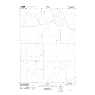 2011 Burton2011 Print · USGSKeya Paha County life is captured here in the early twenty-first century, showing the rural landscape near the South Dakota border. Genealogists and local historians can trace the community around Burton, identifying sites like the Burton Cemetery and the waters of the Keya Paha River.
 - 2011 Map of Jamison, 2011 Print
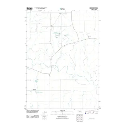 2011 Jamison2011 Print · USGSThe Nebraska-South Dakota borderlands appear in great detail at the start of the 2010s, centered on the Keya Paha River corridor. Researchers can trace local lineage at Emmanuel Cemetery or explore the network of small-scale water works like Richardson Reservoir and Hitchcock Dam.
 - 2011 Map of Gross, 2011 Print
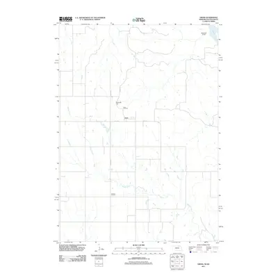 2011 Gross2011 Print · USGSThe northern Nebraska border country near the Missouri River comes into focus in this early twenty-first-century survey of Boyd County. Genealogists and local researchers can pinpoint Gross Cemetery, Rosedale Cemetery, and the geographic landmarks of Ninemile Hill and Whisky Creek.
 - 2011 Map of Spencer North, 2011 Print
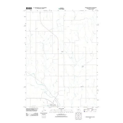 2011 Spencer North2011 Print · USGSSpencer and the rural reaches of Boyd County are documented here in the early twenty-first century. Genealogists can trace family sites at Old Immanuel Cemetery and Immanuel Cemetery or locate the Spencer Post Office near the banks of Ponca Creek.
 - 2011 Map of Mills, 2011 Print
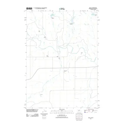 2011 Mills2011 Print · USGSKeya Paha County ranching country comes into focus in this modern survey of the Nebraska-South Dakota borderlands. Genealogists and historians can trace local foundations at the Olive Branch Cemetery or locate the historic Mills Post Office near the Keya Paha River.
 - 2012 Map of Marty, 2012 Print
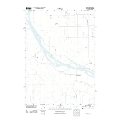 2012 Marty2012 Print · USGSThe Missouri River borderlands of South Dakota and Nebraska are captured here in the early twenty-first century. Researchers can locate the settlement of Greenwood, trace the topography of Old Baldy, and identify local sites like Holy Fellowship Cem and Micanek Reservoir.
 - 2012 Map of Castalia, 2012 Print
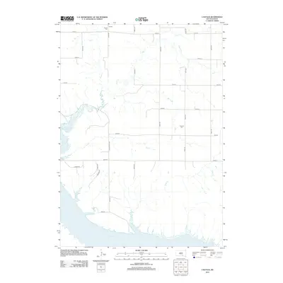 2012 Castalia2012 Print · USGSCharles Mix County's rural character is captured here in the early twenty-first century as agricultural section lines meet the massive Lake Francis Case reservoir. Genealogists can trace local burials at Castalia Cem and Friesland Cem or locate family land near Platte Cr.
 - 2012 Map of Lake Andes SW, 2012 Print
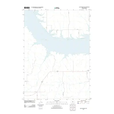 2012 Lake Andes SW2012 Print · USGSThe Missouri River reservoir landscape of Charles Mix County is captured here in the early 2010s. Researchers can trace rural development along Lake Francis Case, from the northern site of Camp Koda to the drainages of Joe Days Cr.
 - 2012 Map of South Scalp Creek, 2012 Print
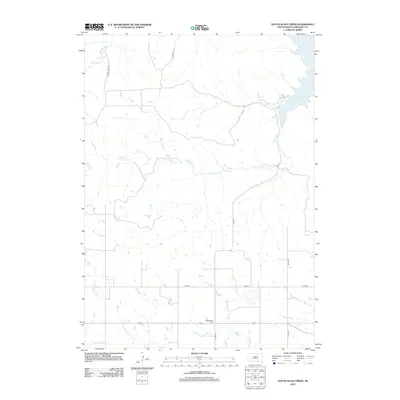 2012 South Scalp Creek2012 Print · USGSGregory County's agricultural prairie and Missouri River shoreline are detailed here in the early twenty-first century. Genealogists and local historians can locate the Bethelhem Cem and trace the winding paths of S Scalp Cr and Joe Days Cr.
 - 2012 Map of Whetstone Bay, 2012 Print
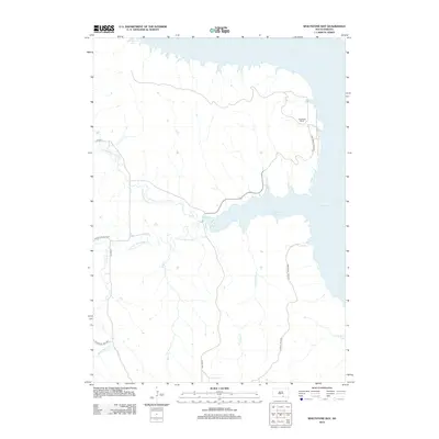 2012 Whetstone Bay2012 Print · USGSCharles Mix County and the Missouri River reservoir system are captured here in the early twenty-first century. Researchers can trace land divisions and water access around Mulehead Ranch, Whetstone Bay, and the banks of Lake Francis Case.
 - 2012 Map of Campbell Creek, 2012 Print
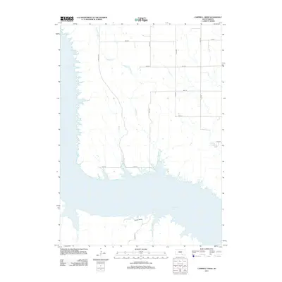 2012 Campbell Creek2012 Print · USGSThe Missouri River breaks into the South Dakota plains during the early 2010s, revealing a landscape shaped by massive water management and rural transit. Researchers can trace the path of Co Hwy 63 over the Wheeler Bridge and follow drainage at Campbell Cr.
 - 2012 Map of Bonesteel, 2012 Print
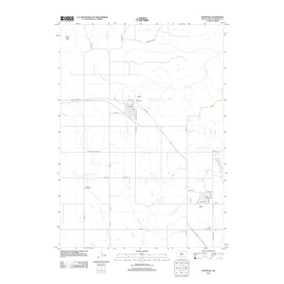 2012 Bonesteel2012 Print · USGSGregory County at the start of the 2010s shows a landscape of steady agricultural life and quiet prairie settlements. Genealogists and local historians can trace several significant burial sites, including Rosebud Cem, Highland Cem, and Saint Anthonys Cem.
 - 2012 Map of Wagner SW, 2012 Print
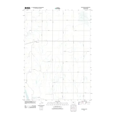 2012 Wagner SW2012 Print · USGSThe rural agricultural landscape of Charles Mix County is captured here in the early twenty-first century. Genealogists and local historians can locate the Cedar Presbyterian Cem and trace the paths of Sevenmile Cr and Red Lake.
 - 2012 Map of Fort Randall Dam, 2012 Print
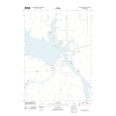 2012 Fort Randall Dam2012 Print · USGSThe Missouri River is captured here in the early twenty-first century just as it flows through the massive Fort Randall Dam. Local historians can trace the heritage of the riverbanks through sites like the Old Fort Randall Cem and the Fort Randall Eagle Roost.
 - 2012 Map of Lake Andes NW, 2012 Print
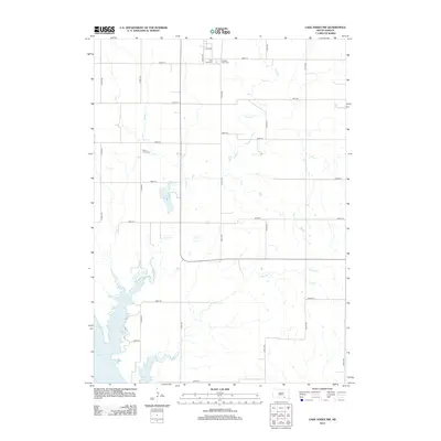 2012 Lake Andes NW2012 Print · USGSThe Missouri River shoreline and the agricultural uplands of Charles Mix County are captured here in the early twenty-first century. Researchers can trace rural cemeteries such as Saint Anns Cem and explore the hydrology of Lake Geddes and Pease Cr.
 - 2012 Map of Burke, 2012 Print
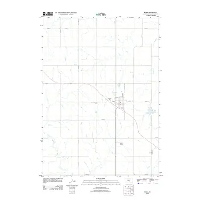 2012 Burke2012 Print · USGSGregory County enters the second decade of the millennium with its agricultural grid and small-town center firmly established. Genealogists can locate family sites near Graceland Cem or trace the drainage of Ponca Cr through the southern prairie.
 - 2012 Map of Dallas, 2012 Print
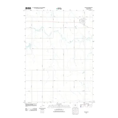 2012 Dallas2012 Print · USGSGregory County farmland and the town of Dallas are shown in this 2012 study, during a time when the rural landscape remained anchored by its section roads and small cemeteries. Researchers can locate Dallas Cem, Hillview Cem, and the path of Ponca Creek.
 - 2012 Map of Herrick, 2012 Print
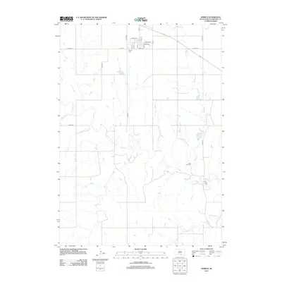 2012 Herrick2012 Print · USGSGregory County's prairie landscape is captured here in the early twenty-first century, centered on the grid of Herrick. Researchers can trace local burial sites at Herrick Cem and Ponca Creek Cem or follow the waters of Ponca Cr to the Milks Camp settlement.
 - 2012 Map of Lucas NW, 2012 Print
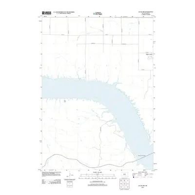 2012 Lucas NW2012 Print · USGSThe Missouri River valley in south-central South Dakota is captured here in the early twenty-first century as it flows through the expansive Lake Francis Case. Researchers can locate the Platte Colony and trace the path of the Platte-Winner Bridge across the water to the bluffs near Red Rock.
 - 2012 Map of Paxton, 2012 Print
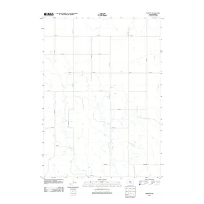 2012 Paxton2012 Print · USGSThis South Dakota landscape near the Nebraska border shows the rural community of Paxton during the early twenty-first century. Genealogists and local historians can trace the paths of Buffalo Cr and Lute Cr as they weave through a grid of local routes like Viaduct Rd.
 - 2012 Map of Rattlesnake Butte East, 2012 Print
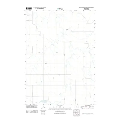 2012 Rattlesnake Butte East2012 Print · USGSSouth Dakota's ranching country is mapped here in the early twenty-first century, showing a landscape shaped by prairie drainages and a rigid road grid. Researchers can locate Our Savior Cem and track the rugged terrain surrounding the Buffalo Buttes.
Showing maps 1-25 of 117
Top cities of Gregory County
- Gregory historical maps
- Burke historical maps
- Bonesteel historical maps
- Dallas historical maps
- Fairfax historical maps
- Dixon historical maps
See more
Frequently asked questions
- What are the different types of historical maps available for Gregory County?
- What is the oldest map of Gregory County?
- Where can I purchase historical maps of Gregory County for my home or office?
- Where can I download high-res historical maps of Gregory County?
- Are there historical topographic maps available for Gregory County?
- Is there historical aerial imagery available for Gregory County?
- Where are historical maps of Gregory County sourced from?