2020s Maps of Hughes County, South Dakota
Explore 29 historic maps of Hughes County from the 2020s. These maps offer a rare glimpse into what life looked like during the 2020s — showing old roads, neighborhoods, homes, and landmarks that have changed or disappeared over time.
Whether you're researching your family's past, planning a metal detecting trip, or studying how Hughes County's landscape evolved across the 2020s, these high-resolution maps are a powerful tool for exploring the history of this region.
- Focus on a specific era: All maps on this page are from the 2020s, giving you a focused view of this time period.
- See what’s changed: Compare century-old streets, trails, and buildings to today's modern landscape using overlays and satellite layers.
- Research with precision: Use these maps for genealogy, historical research, land use analysis, or educational projects.
- View, download, or print: Maps are fully viewable online in high resolution, and can be downloaded or printed for your own records.
Start exploring Hughes County's history through authentic maps from the 2020s. This is your window into the past.
Hughes County, SD maps
(29)- 2021 Map of Chapelle Lake SW, 2021 Print
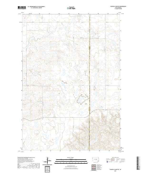 2021 Chapelle Lake SW2021 Print · USGSThe rural border of Hughes and Hyde counties is captured here in the early twenty-first century, showing a landscape defined by prairie drainage. Researchers can trace the winding paths of S Chapelle Cr and Joe Cr among the grid of Co Rd 200 and 214th St.
 - 2021 Map of Okobojo SE, 2021 Print
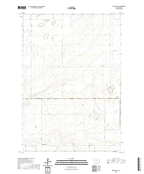 2021 Okobojo SE2021 Print · USGSThe rural uplands of Sully and Hughes counties are captured here in the early twenty-first century. Genealogists and local historians can trace the roads around the settlement of Gray Goose and follow the natural paths of Cow Creek and Spring Cr.
 - 2021 Map of Lower Brule SW, 2021 Print
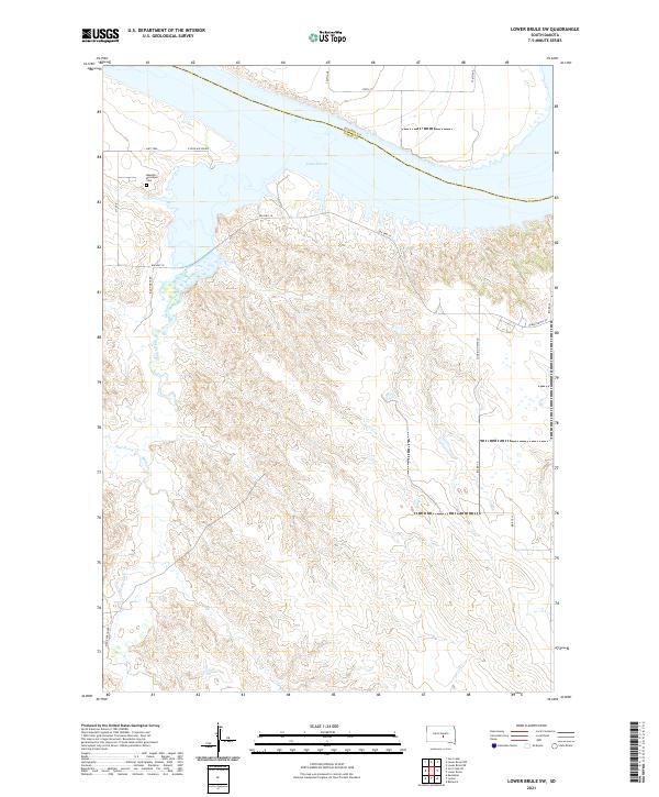 2021 Lower Brule SW2021 Print · USGSLyman County and the Missouri River bluffs are captured here in the early 2020s as the landscape follows the winding path of Medicine Creek. Researchers can trace local heritage and geography through landmarks like the Messiah Episcopal Cem, Bad Horse Cr, and N Iron Nation Rd.
 - 2021 Map of Joe Creek, 2021 Print
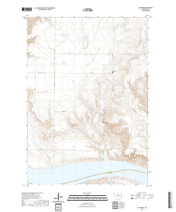 2021 Joe Creek2021 Print · USGSThe Missouri River breaks of Hughes County are captured here in the early twenty-first century, just north of the Lake Sharpe reservoir. Genealogists and local historians can locate Saint Catherine's Cem and trace rural travel routes like BIA Rd 1 and Joe Creek Rd.
 - 2021 Map of Chapelle Lake NW, 2021 Print
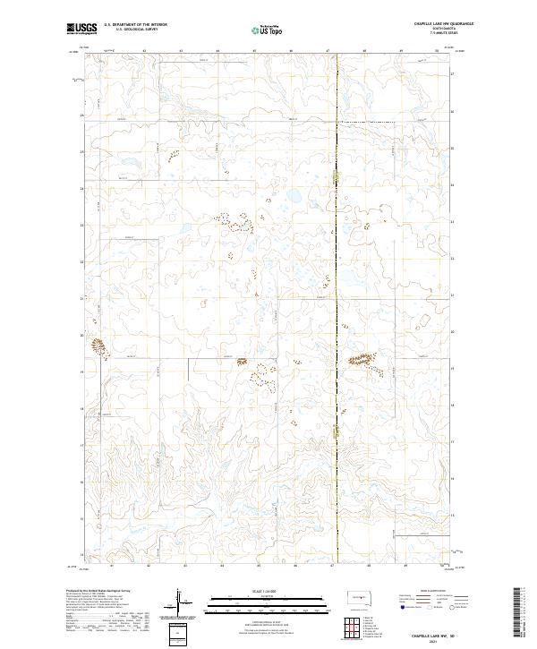 2021 Chapelle Lake NW2021 Print · USGSHughes and Hyde counties meet along a classic section-line grid in this recent survey of the South Dakota prairie. Genealogists and land researchers can trace property boundaries along Chapelle Cr and remote routes like 321st Ave and 204th St.
 - 2021 Map of Joe Creek SE, 2021 Print
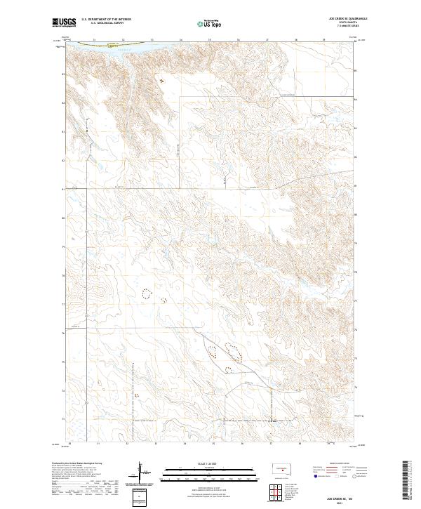 2021 Joe Creek SE2021 Print · USGSLyman County and the edges of the Missouri River breaks come into focus in this contemporary survey of central South Dakota. Researchers can trace the rugged drainage of Bad Horse Cr and follow rural routes like BIA Hwy 10 near the shores of Lake Sharpe.
 - 2021 Map of Canning NW, 2021 Print
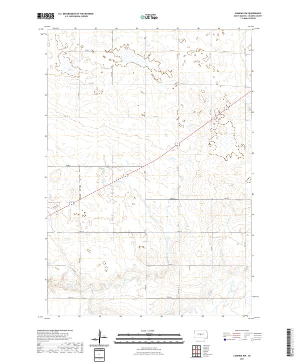 2021 Canning NW2021 Print · USGSHughes County's agricultural interior is captured in the early 2020s, showing the intersection of natural drainage and rural infrastructure. Researchers can trace land boundaries across T112N R78W or follow the paths of Dry Run and Mush Cr.
 - 2021 Map of Lower Brule, 2021 Print
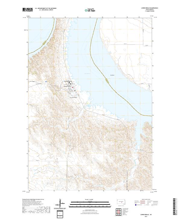 2021 Lower Brule2021 Print · USGSLower Brule and the Missouri River's dramatic shoreline are recorded here as they appeared in the early 2020s. Researchers can locate local landmarks like the Council House and Holy Comforter Cem, or trace the winding course of Counselor Cr.
 - 2021 Map of Onida SW, 2021 Print
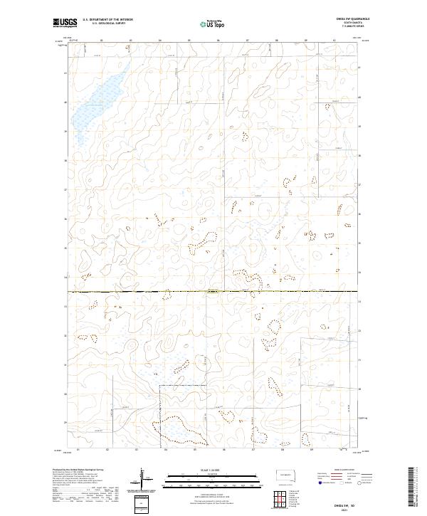 2021 Onida SW2021 Print · USGSThe open prairie along the Sully Co and Hughes Co line is documented here in the early twenty-first century. Genealogists and land researchers can trace the rural road grid and hydrology of the region, anchored by Warnes Slough and Co Rd 207.
 - 2021 Map of Blunt SE, 2021 Print
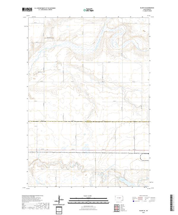 2021 Blunt SE2021 Print · USGSThe Sully and Hughes county line in central South Dakota is shown here as it appeared in the early 2020s. Genealogists and local researchers can trace the rural landscape around Medicine Knoll Creek, Swanson Lake, and Woodruff Lake.
 - 2021 Map of De Grey NE, 2021 Print
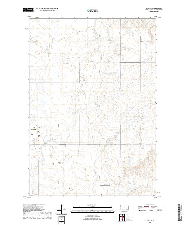 2021 De Grey NE2021 Print · USGSHughes County prairie lands are documented here during the early 2020s, showing the traditional grid of section-line roads. Genealogists and land researchers can trace property boundaries along Co Rd 202 or locate the drainage of Chapelle Cr.
 - 2021 Map of De Grey SE, 2021 Print
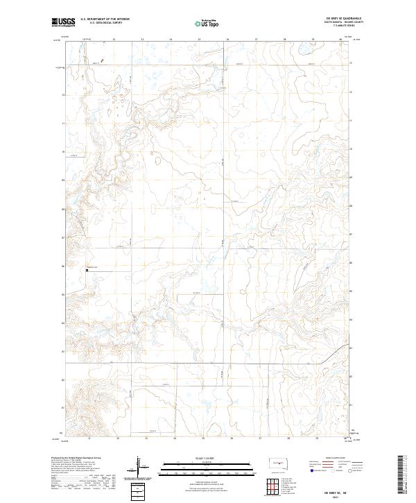 2021 De Grey SE2021 Print · USGSIn the early twenty-first century, this Hughes County landscape preserves its rural township structure and prairie drainage patterns. Genealogists and local historians can trace the grid of section-line roads like Co Rd 205 to landmarks such as Chapelle Cem and the winding S Chapelle Cr.
 - 2021 Map of Joe Creek NW, 2021 Print
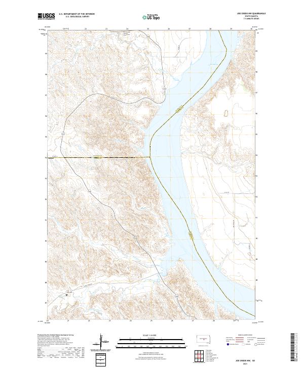 2021 Joe Creek NW2021 Print · USGSThe Missouri River bluffs of central South Dakota are captured in this recent survey where three counties meet. Researchers can locate remote landmarks such as Fort George Catholic Church Cem and Holy Faith Cem overlooking Lake Sharpe.
 - 2021 Map of Canning, 2021 Print
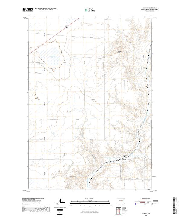 2021 Canning2021 Print · USGSCanning and the surrounding Hughes County prairie appear in fine detail in this modern survey of central South Dakota. Genealogists and researchers can trace local landmarks like Canning Cem, the waters of Lake Chesley, and the prominent Medicine Knoll.
 - 2021 Map of Blunt, 2021 Print
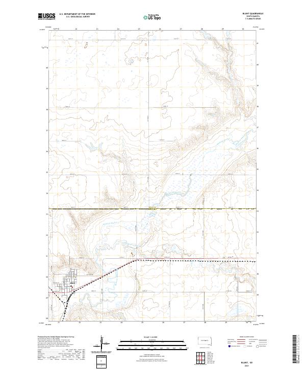 2021 Blunt2021 Print · USGSThe prairie town of Blunt is documented here in the early twenty-first century, showing the intersection of local commerce and the winding Medicine Knoll Creek. Genealogists and historians can trace the street-level detail of Blunt, from N Main St to the rural expanses along Raccoon Rd.
 - 2021 Map of De Grey, 2021 Print
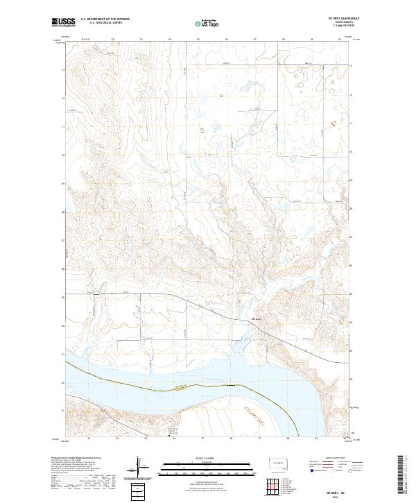 2021 De Grey2021 Print · USGSHughes County ranchlands meet the wide waters of the Missouri River in this survey of the central South Dakota plains. Genealogists and local researchers can locate De Grey and the Fort George Catholic Church Cem along the banks of Lake Sharpe.
 - 2021 Map of Onida SE, 2021 Print
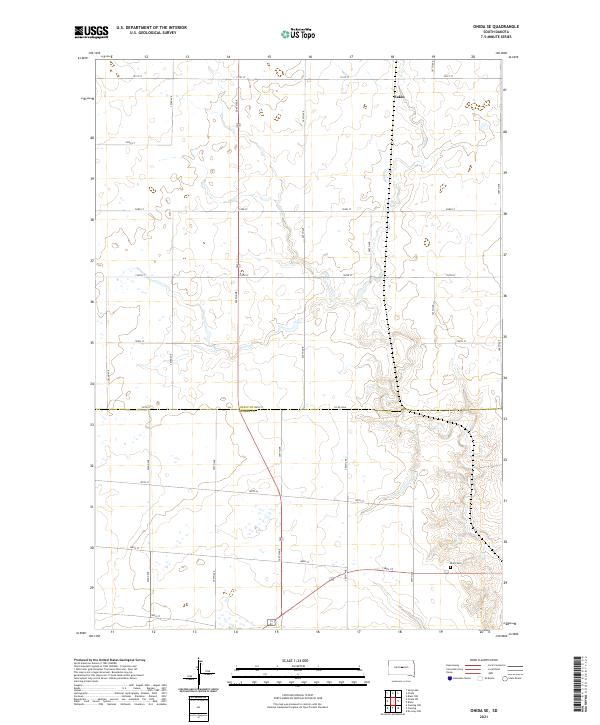 2021 Onida SE2021 Print · USGSCentral South Dakota's rural expanses are captured here at the dawn of the 2020s, straddling the Sully and Hughes county lines. Researchers can trace the section-line roads and field patterns that define this agricultural region, identifying local landmarks like Eakin and Blunt Cem.
 - 2021 Map of Harrold, 2021 Print
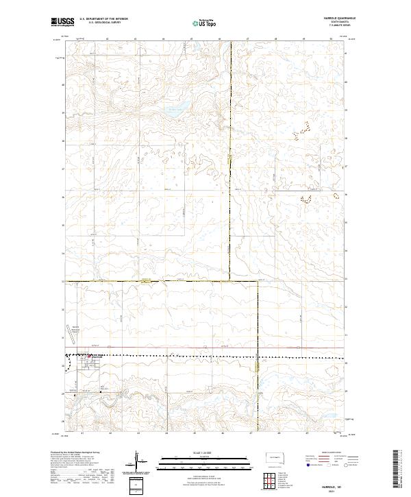 2021 Harrold2021 Print · USGSHarrold sits at a historic crossroads in Hughes County in the early twenty-first century, surrounded by the wide-open prairie. Genealogists and local historians can locate Medicine Hill Cem, Saint John Cem, and the Harrold Municipal Airport.
 - 2021 Map of Lower Brule NE, 2021 Print
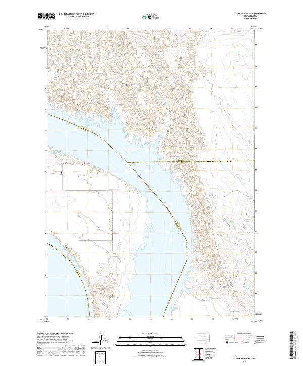 2021 Lower Brule NE2021 Print · USGSThe Missouri River reservoir dominates this South Dakota landscape where four counties converge near the Lower Brule reservation. Researchers can trace the modern shoreline of Lake Sharpe alongside local routes like Soup & Frybread Rd and Bia Rte 3.
 - 2021 Map of Antelope Island, 2021 Print
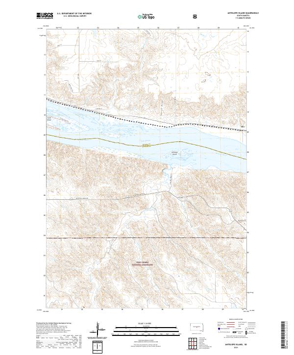 2021 Antelope Island2021 Print · USGSStanley and Hughes counties meet at the Missouri River in this recent survey of the South Dakota plains. Genealogists and historians can trace the borders of the Fort Pierre National Grassland and find local landmarks like Antelope Island and Alto.
 - 2021 Map of Pierre NE, 2021 Print
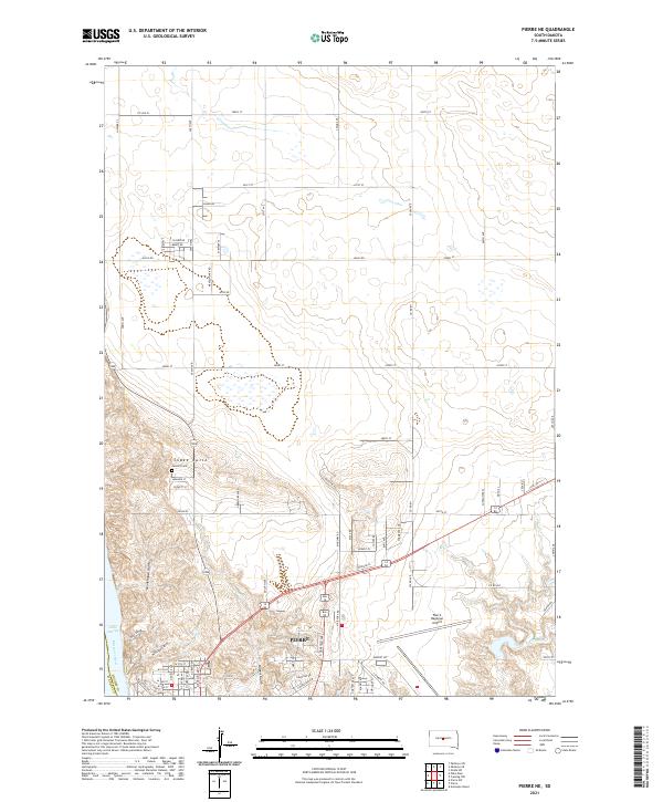 2021 Pierre NE2021 Print · USGSPierre and the bluffs of the Missouri River are captured in the early twenty-first century as the state capital expands northward. Researchers can trace the modern footprint of Pierre Regional Airport and the location of Calvary Cem near the slopes of Snake Butte.
 - 2021 Map of Iron Post Buttes SE, 2021 Print
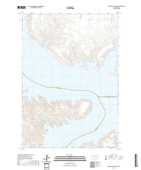 2021 Iron Post Buttes SE2021 Print · USGSThe intersection of Sully, Stanley, and Hughes counties comes into focus in this contemporary survey of the Missouri River. Researchers can trace the complex shoreline of Lake Oahe and the open expanses of Peoria Flats along rural routes like Gumbo Rd and Snake Creek Rd.
 - 2021 Map of Willow Creek Butte, 2021 Print
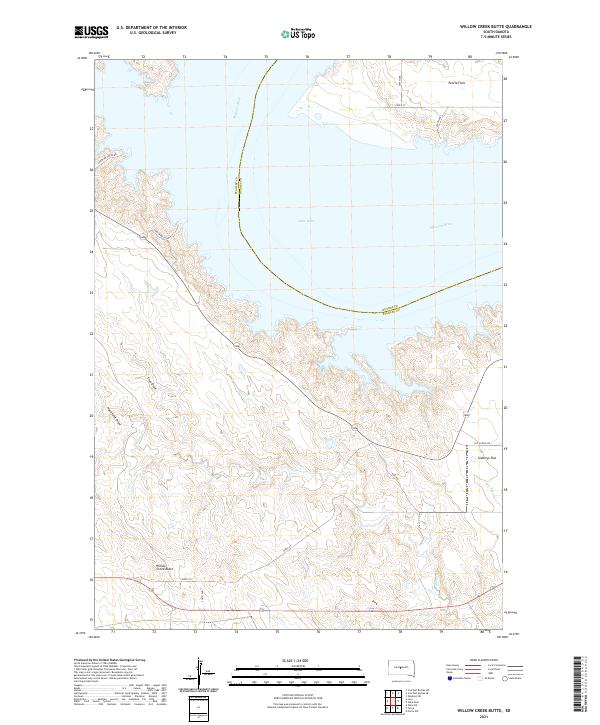 2021 Willow Creek Butte2021 Print · USGSStanley and Hughes counties meet at the Missouri River in this contemporary look at the South Dakota plains. Genealogists and land researchers can trace family-named landmarks like Peoria Flats and Giddings Flat alongside Willow Creek Butte.
 - 2021 Map of De Grey NW, 2021 Print
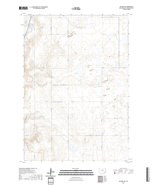 2021 De Grey NW2021 Print · USGSHughes County ranchlands and prairie potholes are meticulously documented in this contemporary survey of the South Dakota plains. Researchers can trace the drainage of Medicine Knoll Creek and navigate rural section roads like Dixon Rd and Runge Rd.
 - 2021 Map of Pierre, 2021 Print
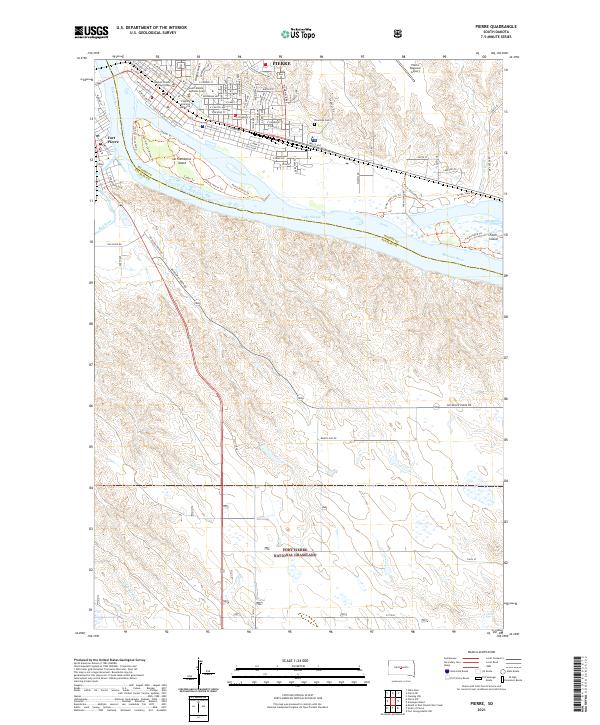 2021 Pierre2021 Print · USGSThe state capital at Pierre and neighboring Fort Pierre are shown here as they appeared in the early 2020s. Researchers can trace civic landmarks like the South Dakota Supreme Court or the natural terrain of La Framboise Island and the Fort Pierre National Grassland.
Showing maps 1-25 of 29
Top cities of Hughes County
Frequently asked questions
- What are the different types of historical maps available for Hughes County?
- What is the oldest map of Hughes County?
- Where can I purchase historical maps of Hughes County for my home or office?
- Where can I download high-res historical maps of Hughes County?
- Are there historical topographic maps available for Hughes County?
- Is there historical aerial imagery available for Hughes County?
- Where are historical maps of Hughes County sourced from?