2000s (21st Century) Maps of Hughes County, South Dakota
Explore 116 historic maps of Hughes County from the 2000s (21st Century). These maps offer a rare glimpse into what life looked like during the 2000s — showing old roads, neighborhoods, homes, and landmarks that have changed or disappeared over time.
Whether you're researching your family's past, planning a metal detecting trip, or studying how Hughes County's landscape evolved across the 2000s, these high-resolution maps are a powerful tool for exploring the history of this region.
- Focus on a specific era: All maps on this page are from the 2000s, giving you a focused view of this time period.
- See what’s changed: Compare century-old streets, trails, and buildings to today's modern landscape using overlays and satellite layers.
- Research with precision: Use these maps for genealogy, historical research, land use analysis, or educational projects.
- View, download, or print: Maps are fully viewable online in high resolution, and can be downloaded or printed for your own records.
Start exploring Hughes County's history through authentic maps from the 2000s. This is your window into the past.
Hughes County, SD maps
(116)- 2012 Map of De Grey NW, 2012 Print
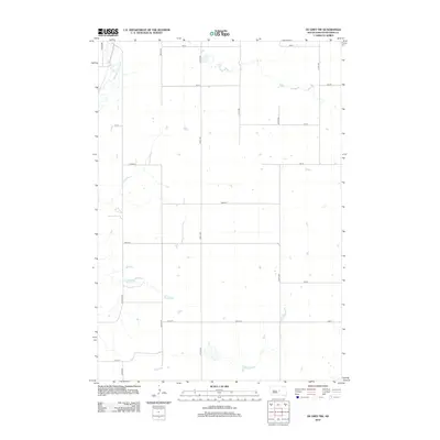 2012 De Grey NW2012 Print · USGSHughes County remains a landscape of open prairie and section lines in this early 21st-century survey. Researchers can trace the winding course of Medicine Knoll Cr and locate specific rural homesteads along Canning Rd and 207th St.
 - 2012 Map of Lower Brule NE, 2012 Print
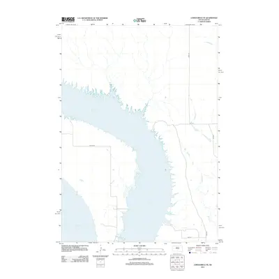 2012 Lower Brule NE2012 Print · USGSThe Missouri River valley in the Big Bend District is captured here during the early twenty-first century, showing the expansive waters of Lake Sharpe. Researchers can trace the rural road network including BIA Route 3 and drainage features like Soldier Cr.
 - 2012 Map of Harrold, 2012 Print
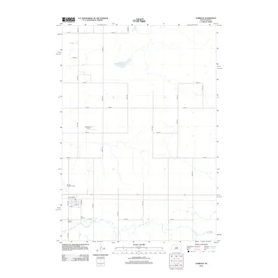 2012 Harrold2012 Print · USGSHarrold and its surrounding prairie are documented in this early twenty-first-century survey of Hughes County. Genealogists and local historians can locate Saint John Cem, Medicine Hill Cem, and the community's rural airfields like Bollweg Farm Airport.
 - 2012 Map of Iron Post Buttes SE, 2012 Print
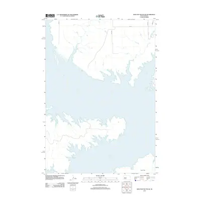 2012 Iron Post Buttes SE2012 Print · USGSThe Missouri River reservoir landscape of Hughes County is captured here in the early twenty-first century. Researchers can trace the complex shoreline of Lake Oahe and find the expansive Peoria Flats near local drainages like Plum Cr and Sully Cr.
 - 2012 Map of Canning, 2012 Print
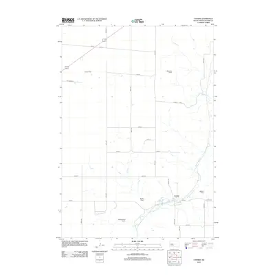 2012 Canning2012 Print · USGSCanning and the Hughes County highlands appear in high detail during the early 2010s. Researchers can trace the drainage of Medicine Knoll Cr past local landmarks like Lake Chesley, Gumbo Flat, and the prominent Medicine Knoll.
 - 2012 Map of Chapelle Lake NW, 2012 Print
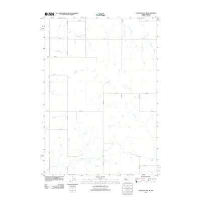 2012 Chapelle Lake NW2012 Print · USGSHughes County prairie lands are shown here as they appeared in the early 21st century, organized by a rigid grid of section-line roads. Trace the winding course of Chapelle Cr or locate rural landmarks along 321st Ave and 203rd St.
 - 2012 Map of Rousseau, 2012 Print
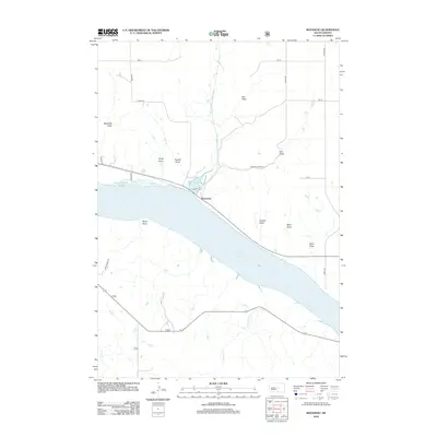 2012 Rousseau2012 Print · USGSThe Missouri River valley south of Pierre is shown here in the early twenty-first century as it borders the expansive Lake Sharpe. Researchers can trace the prairie drainage patterns through family-named landmarks like Kirley Draw, Carlson Draw, and the curiously named The Drips.
 - 2012 Map of Lower Brule NW, 2012 Print
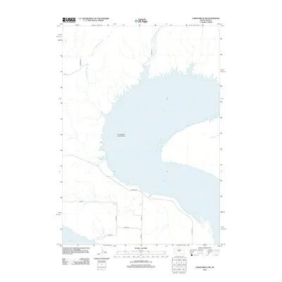 2012 Lower Brule NW2012 Print · USGSThe massive curve of the Missouri River defines this Hughes County landscape in the early 2010s. Researchers can trace the prairie drainage of Arrowhead Spring Cr or follow the path of Westbend Rd along the shores of Lake Sharpe.
 - 2012 Map of Antelope Island, 2012 Print
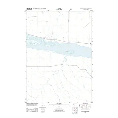 2012 Antelope Island2012 Print · USGSThe Missouri River breaks into the expansive Lake Sharpe reservoir during the early twenty-first century, revealing a landscape shaped by water and prairie. Trace the settlement of Alto and follow the branching paths of Antelope Cr and Mush Cr.
 - 2012 Map of Oahe Dam, 2012 Print
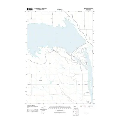 2012 Oahe Dam2012 Print · USGSThe Missouri River landscape of Stanley County is captured here in the early twenty-first century, dominated by the massive Oahe Dam and its reservoirs. Researchers can locate the Scotty Philip Cem or trace rural routes across Giddings Flat and the slopes of Brown Hill.
 - 2012 Map of Lower Brule SW, 2012 Print
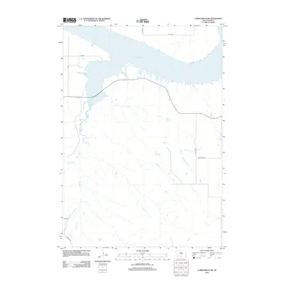 2012 Lower Brule SW2012 Print · USGSThe Missouri River breaks of South Dakota are shown here in the early twenty-first century, centered on the waters of Lake Sharpe. Genealogists and historians can trace the paths of Medicine Cr, Bad Horse Cr, and the route of Traditional Rd.
 - 2012 Map of Joe Creek, 2012 Print
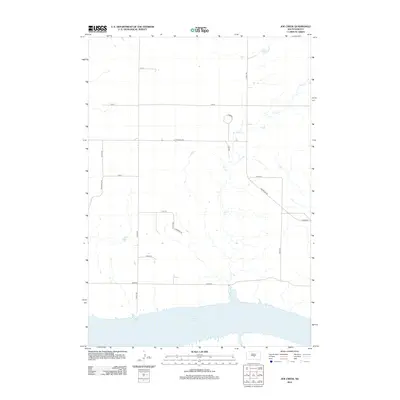 2012 Joe Creek2012 Print · USGSThe Big Bend District in the early twenty-first century reveals a landscape defined by the waters of Lake Sharpe and the winding course of Joe Cr. Researchers can trace the rural road network through family-named routes like Nachtigal Rd and unique local markers like Lonesome Pl.
 - 2012 Map of Onida SE, 2012 Print
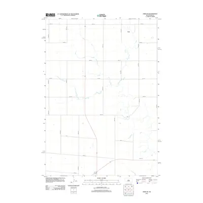 2012 Onida SE2012 Print · USGSSully County’s agricultural heartland is captured here in the early twenty-first century, showing the enduring grid of the high plains. Researchers can locate the Blunt Cem and the settlement of Eakin among the section roads like 306th Ave.
 - 2012 Map of Joe Creek NW, 2012 Print
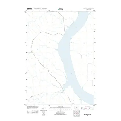 2012 Joe Creek NW2012 Print · USGSThe Missouri River valley in the early twenty-first century is defined by the massive waters of Lake Sharpe and its rugged western inlets. Genealogists and local historians can locate the Holy Faith Cem and trace the paths of LaRoche Cr and Straight Cr.
 - 2012 Map of Lower Brule, 2012 Print
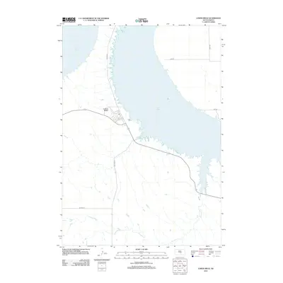 2012 Lower Brule2012 Print · USGSThe Missouri River landscape near the Big Bend District is captured here in the early twenty-first century. Researchers can trace the layout of the Council House settlement and follow the paths of Bia Route 10 and Counselor Cr.
 - 2012 Map of Joe Creek SE, 2012 Print
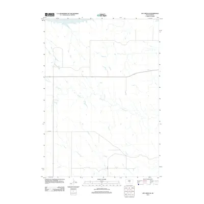 2012 Joe Creek SE2012 Print · USGSCentral South Dakota prairie meets the Missouri River shoreline in the early twenty-first century. Researchers can trace the winding course of Bad Horse Creek and find access points to the expansive waters of Lake Sharpe.
 - 2012 Map of Okobojo SW, 2012 Print
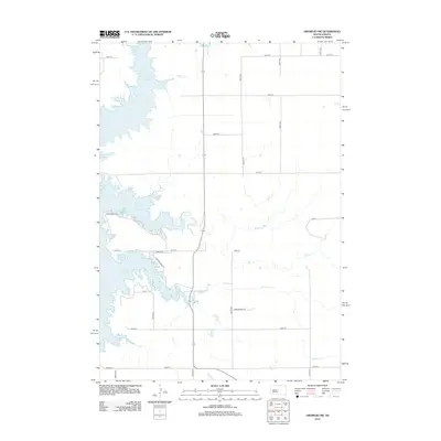 2012 Okobojo SW2012 Print · USGSThe Missouri River breaks of Hughes County are captured here in the early twenty-first century, showing the expansive shoreline of Lake Oahe. Researchers can trace the prairie drainage of Okobojo Cr and Spring Cr through the rural grid of the Dakotas.
 - 2012 Map of De Grey, 2012 Print
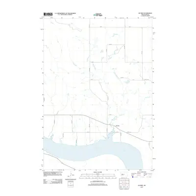 2012 De Grey2012 Print · USGSHughes County’s riverfront comes into focus in the early 2010s, centered on the shores of the Missouri. Genealogists and local historians can trace the small settlement of De Grey and follow the paths of Chapelle Cr and Lake Sharpe across the prairie.
 - 2012 Map of De Grey SE, 2012 Print
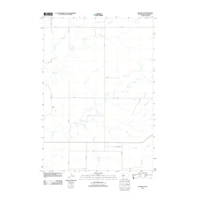 2012 De Grey SE2012 Print · USGSHughes County prairie lands are captured here in the early twenty-first century, showing the enduring grid of South Dakota's farm country. Genealogists and local researchers can locate the Chapelle Cem and trace the paths of Chapelle Cr and S Dakota Hwy 34.
 - 2012 Map of Canning NW, 2012 Print
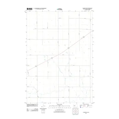 2012 Canning NW2012 Print · USGSHughes County remains a landscape of open prairie and section-line roads in the early twenty-first century. Researchers can trace the winding paths of seasonal waterways like Mush Cr and Dry Run against the modern rural grid of Nystrom Rd and 14 83.
 - 2012 Map of Blunt, 2012 Print
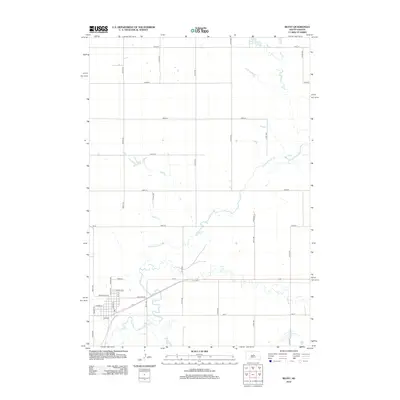 2012 Blunt2012 Print · USGSThe small prairie community of Blunt is shown in detail during the early 21st century, centered on its traditional street grid. Genealogists and local historians can trace property locations along N Main St and Marion Ave or follow the winding path of Medicine Knoll Cr.
 - 2012 Map of De Grey NE, 2012 Print
 2012 De Grey NE2012 Print · USGSHughes County’s prairie landscape is defined here by the rigorous section-line grid of the early twenty-first century. Researchers can trace the winding course of Chapelle Cr or locate specific rural tracts along 200 St and 318th Ave.
 - 2012 Map of Pierre NE, 2012 Print
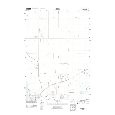 2012 Pierre NE2012 Print · USGSPierre and the high Missouri bluffs are shown in this modern era as suburban growth reaches toward the historic Snake Butte. Researchers can trace the development of neighborhood grids near the Pierre Regional Airport and locate sites like Calvary Cem.
 - 2012 Map of Blunt SE, 2012 Print
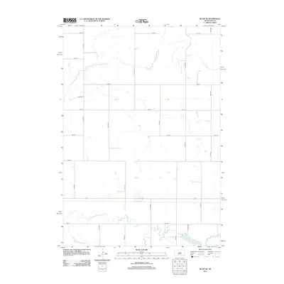 2012 Blunt SE2012 Print · USGSHughes County farming country is shown here in the early twenty-first century, defined by its grid of section roads and prairie waterways. Researchers can trace the courses of Medicine Knoll Cr and locate water features like Swanson Lake and Woodruff Lake.
 - 2012 Map of Okobojo SE, 2012 Print
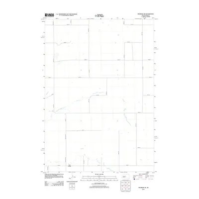 2012 Okobojo SE2012 Print · USGSHughes County at the start of the 2010s reveals a structured agricultural landscape transitioning near the Gray Goose settlement. Genealogists and local historians can trace family properties and rural access routes along Cow Cr, Spring Cr, and Grey Goose Rd.
Showing maps 1-25 of 116
Top cities of Hughes County
Frequently asked questions
- What are the different types of historical maps available for Hughes County?
- What is the oldest map of Hughes County?
- Where can I purchase historical maps of Hughes County for my home or office?
- Where can I download high-res historical maps of Hughes County?
- Are there historical topographic maps available for Hughes County?
- Is there historical aerial imagery available for Hughes County?
- Where are historical maps of Hughes County sourced from?