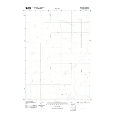
2012 Map of De Grey NE
USGS Topo · Published 2012About this map
Chapelle Cr winds through this rural landscape in eastern Hughes County, reflecting the deep drainage patterns characteristic of the South Dakota plains. This 2012 survey illustrates a classic prairie section-line road grid, with routes like 200 St and 314th Ave carving the land into the precise rectangles of the Public Land Survey System. The sparse settlement pattern and absence of named towns emphasize the agricultural character of this region, where the primary features are the intersection of section roads and the natural contours of the local creek beds. The map serves as a detailed record of the transport infrastructure, showing how local access roads like 205 St and 317th Ave navigate the subtle elevation changes near the watercourse.
Find a feature on this map
14 named features on this map. Tap any name to fly to it.
Don’t see what you’re looking for? This feature index may not catch every label — zoom into the map to look around manually.
Map Details
Editions of this 2012 De Grey NE Map
This is the sole edition of this map. No revisions or reprints were ever made.
Other maps of this area

1953 · Huron
USGS Topo · 1:250,000

1954 · Huron
USGS Topo · 1:250,000

1967 · Blunt
USGS Topo · 1:24,000

1967 · Blunt SE
USGS Topo · 1:24,000

1967 · De Grey NE
USGS Topo · 1:24,000
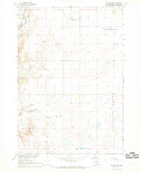
1967 · De Grey NW
USGS Topo · 1:24,000

1968 · Harrold
USGS Topo · 1:24,000

1973 · De Grey SE
USGS Topo · 1:24,000
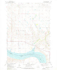
1973 · De Grey
USGS Topo · 1:24,000

1973 · Chapelle Lake SW
USGS Topo · 1:24,000