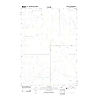
2012 Map of Chapelle Lake NW
USGS Topo · Published 2012About this map
Chapelle Cr meanders through this portion of Hughes County, defining the drainage patterns of an otherwise strictly gridded prairie landscape. The area is dominated by the geometric precision of the Great Plains section line system, with north-south corridors like 321st Ave and 323rd Ave intersecting east-west routes such as 199th St and 207th St. Small, scattered wetlands and ephemeral basins are caught within these mile-square sections, illustrating the natural prairie potholes that persist despite the extensive road network. This survey, compiled from data by the U.S. Geological Survey, reflects the rural agricultural character of the region in the early 21st century, where human activity is primarily marked by these persistent section-line roads and isolated farmsteads.
Find a feature on this map
18 named features on this map. Tap any name to fly to it.
Don’t see what you’re looking for? This feature index may not catch every label — zoom into the map to look around manually.
Map Details
Editions of this 2012 Chapelle Lake NW Map
This is the sole edition of this map. No revisions or reprints were ever made.
Other maps of this area

1953 · Huron
USGS Topo · 1:250,000

1954 · Huron
USGS Topo · 1:250,000

1967 · Blunt SE
USGS Topo · 1:24,000

1967 · De Grey NE
USGS Topo · 1:24,000

1968 · Harrold
USGS Topo · 1:24,000

1968 · Holabird
USGS Topo · 1:24,000

1973 · Chapelle Lake SE
USGS Topo · 1:24,000

1973 · De Grey SE
USGS Topo · 1:24,000

1973 · Chapelle Lake SW
USGS Topo · 1:24,000

1973 · Chapelle Lake
USGS Topo · 1:24,000