Old Maps of White Butte, South Dakota for Academic Research
Study the evolution of White Butte with 9 high-resolution historic maps. Whether you're teaching, researching, or modeling changes in land use, these maps provide essential visual documentation of urban, environmental, and geographic change.
- Analyze long-term change: Track patterns in development, transportation, and natural features.
- Ideal for environmental or urban studies: Support academic projects with primary historical map data.
- Use in the classroom or lab: Educators and researchers rely on these maps to bring historical context to life.
These maps are a powerful tool for teaching, research, and visualizing how White Butte has changed over the decades.
White Butte, SD maps
(9)- 1954 Map of Lemmon, 1964 Print
 1954 Lemmon1964 Print · USGSThe high plains of South Dakota and North Dakota are documented here during the mid-twentieth century. Family researchers can trace dozens of country school sites like Green Cabin School and Bierke School alongside landmarks like The Castles.2 unique versions available
 - 1957 Map of Lemmon
 1957 Lemmon1957 Print · USGSThe northwestern plains of South Dakota and North Dakota are captured here in the mid-fifties, centered on the rail hub of Lemmon. Genealogists and historians can trace dozens of rural schoolhouses and vanished sites like Imogene and the Shadehill Reservoir area.
 - 1974 Map of White Butte, 1978 Print
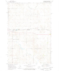 1974 White Butte1978 Print · USGSThe North and South Dakota borderlands come alive in the mid-seventies, showing a landscape shaped by the Milwaukee Road. Researchers can trace the rail settlements of White Butte and Petrel, finding local landmarks like the Petrel Cem and a rural Townhall.
 - 1984 Map of Lemmon
 1984 Lemmon1984 Print · USGSThe High Plains borderlands of South Dakota and North Dakota are documented here in the mid-1980s, centered on the Lemmon and Hettinger rail corridor. Genealogists and historians can trace local landmarks like Strool, the Shadehill Reservoir shoreline, and isolated buttes including White Butte and Square Top Butte.2 unique versions available
 - 1998 Map of White Butte, 2001 Print
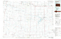
 1998 White Butte2001 Print · USGSThe High Plains borderlands of South Dakota and North Dakota come into focus in the late nineties, showcasing a landscape of sprawling ranches and prairie outposts. Genealogists can locate family landmarks like the B Anderson Ranch and the Petrel Cem near the Grand River National Grassland.
 - 2012 Map of White Butte, 2012 Print
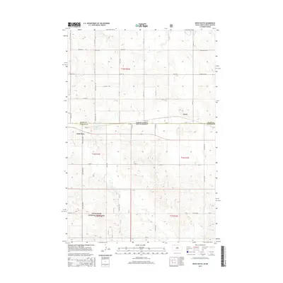
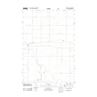 2012 White Butte2012 Print · USGSCovers White Butte, including Petrel, Adams County, and other nearby areas
 - 2015 Map of White Butte, 2015 Print
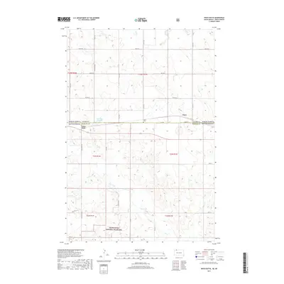
 2015 White Butte2015 Print · USGSCovers White Butte, including Petrel, Adams County, and other nearby areas
 - 2017 Map of White Butte, 2017 Print
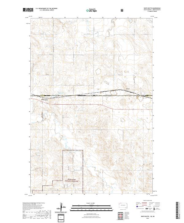
 2017 White Butte2017 Print · USGSCovers White Butte, including Petrel, Adams County, and other nearby areas
 - 2021 Map of White Butte, 2021 Print
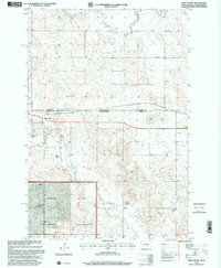
 2021 White Butte2021 Print · USGSThe North Dakota and South Dakota border comes alive in this contemporary survey of the High Plains ranching country. Genealogists and local historians can trace the remote siding of Petrel, the Petrel Cemetery, and the grasslands near White Butte.
End of results
Showing maps 1-9 of 9
Top cities near White Butte
Frequently asked questions
- What are the different types of historical maps available for White Butte?
- What is the oldest map of White Butte?
- Where can I purchase historical maps of White Butte for my home or office?
- Where can I download high-res historical maps of White Butte?
- Are there historical topographic maps available for White Butte?
- Is there historical aerial imagery available for White Butte?
- Where are historical maps of White Butte sourced from?