Old Maps of Redfield Township, South Dakota for Metal Detecting
Plan your next treasure hunt with 25 historic maps of Redfield Township. Find old homesites, ghost towns, trails, and gathering spots that may be lost to time — perfect for identifying promising metal detecting locations.
- Locate forgotten sites: Uncover places like long-lost settlements, abandoned rail lines, or gathering spots.
- Plan better hunts: Use map overlays combined with LiDAR or satellite views to narrow in on historically rich areas.
- Made for detectorists: Thousands of hobbyists use these maps to discover relics, coins, and hidden history.
Use these historic maps to boost your research and find new opportunities beneath the surface of Redfield Township.
Redfield Township, SD maps
(25)- 1895 Map of Byron
 1895 Byron1895 Print · USGSEastern South Dakota was rapidly organizing into townships when this survey was conducted. You can trace the path of the Chicago and Northwestern R. R. through early settlements like Frankfort, Doland, and Ashton.4 unique versions available
 - 1899 Map of Redfield
 1899 Redfield1899 Print · USGSAgricultural expansion across Spink and Hand Counties is in full swing here during the late nineteenth century. Genealogists can trace early rail-side settlements like Redfield, Rockham, and Tulare alongside prairie outposts such as Burdette and Florence.2 unique versions available
 - 1953 Map of Redfield North, 1955 Print
 1953 Redfield North1955 Print · USGSRedfield was a bustling prairie rail hub in the early fifties, anchored by the intersection of two major lines. Researchers can trace the layout of the Redfield State Hospital or locate rural landmarks like Marlette Sch and the Historical Monument along Snake Creek.
 - 1953 Map of Ashton, 1955 Print
 1953 Ashton1955 Print · USGSIn the early 1950s, the prairie landscape of Spink County was defined by the winding James River and a busy network of namesake schoolhouses. Genealogists and local historians can trace the locations of Kurtz Sch, Ashton, and the artesian Flowing Wells that sustained these rural townships.
 - 1953 Map of Huron, 1959 Print
 1953 Huron1959 Print · USGSCentral South Dakota comes alive in the mid-1950s as a thriving rail and agricultural corridor between the Missouri and James Rivers. Trace the legacy of family farms and prairie towns like Huron, Faulkton, and Wessington Springs along the historic Chicago and North Western rail lines.3 unique versions available
 - 1954 Map of Huron, 1977 Print
 1954 Huron1977 Print · USGSCentral South Dakota was a landscape of grain elevators and river bends during the mid-fifties. Genealogists and historians can trace the development of the James River valley through railroad towns like Redfield and the sprawling Crow Creek Indian Reservation.
 - 1966 Map of Redfield South, 1967 Print
 1966 Redfield South1967 Print · USGSSpink County's agricultural and rail landscape is captured here in the mid-sixties, centered on the growing hub of Redfield. Researchers can trace the dual rail lines of the Chicago and North Western and C M St P & P near the waters of Twin Lakes.
 - 1967 Map of Frankfort SW, 1968 Print
 1967 Frankfort SW1968 Print · USGSSpink County during the late sixties reveals an intricate grid of farmsteads and railroads essential to the South Dakota prairie economy. Researchers can locate the Crandon Cem, trace the path of the Chicago and North Western railroad, and identify early Townhall sites.
 - 1985 Map of Redfield, 1986 Print
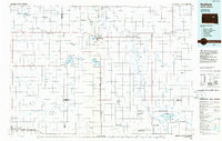 1985 Redfield1986 Print · USGSSpink and Hand counties are captured here in the mid-1980s, revealing a landscape of rail-dependent prairie towns and extensive waterfowl conservation areas. Genealogists and historians can trace the Chicago and North Western rail lines through Redfield to outlying settlements like Tulare and Frankfort.
 - 2012 Map of Redfield North, 2012 Print
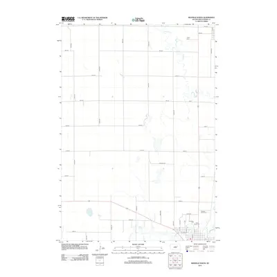 2012 Redfield North2012 Print · USGSSpink County agriculture and the northern expansion of Redfield are detailed here during the early twenty-first century. Genealogists and local historians can trace legacy sites like Ashton Cem or the Pheasant City Drive-In along the banks of Snake Cr.
 - 2012 Map of Redfield South, 2012 Print
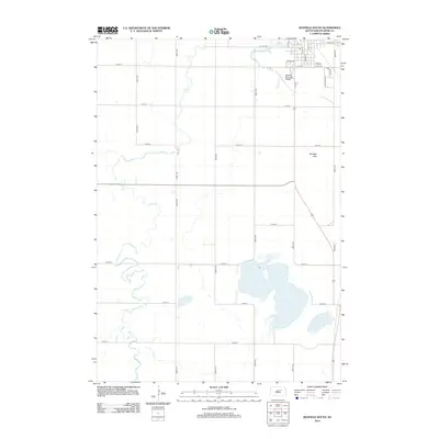 2012 Redfield South2012 Print · USGSRedfield and the surrounding Spink County prairie are documented here just after the turn of the millennium. Genealogists and local historians can trace the transition from town to country, following S Main St past the Redfield Municipal Airport toward Twin Lakes.
 - 2012 Map of Frankfort SW, 2012 Print
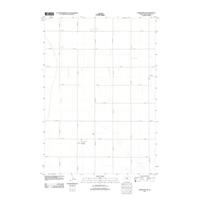 2012 Frankfort SW2012 Print · USGSSpink County agriculture and the rural settlement of Crandon are captured here during the early twenty-first century. Genealogists and local historians can locate the Crandon Cem and trace the small-town street layout of Main St and Front.
 - 2012 Map of Ashton, 2012 Print
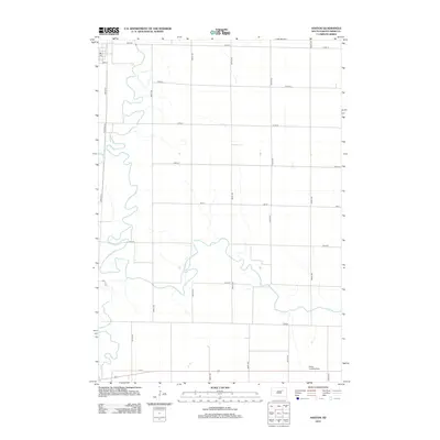 2012 Ashton2012 Print · USGSSpink County agriculture and the winding James River dominate this eastern South Dakota landscape in the early 2010s. Genealogists and historians can trace the rural layout through the PO at Sun St and private aviation sites like Deiter Landing Strip.
 - 2015 Map of Frankfort SW, 2015 Print
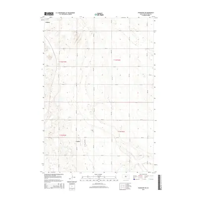 2015 Frankfort SW2015 Print · USGSSpink County’s prairie landscape is documented here in the mid-2010s, showcasing the agricultural grid that defines this region. Researchers can trace the layout of Crandon and locate the historic Crandon Cem along the quiet stretches of Crandon Rd.
 - 2015 Map of Redfield South, 2015 Print
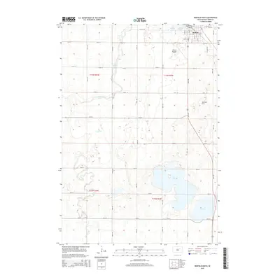 2015 Redfield South2015 Print · USGSRedfield and the surrounding Spink County prairie are captured here during the mid-2010s, showing a landscape defined by industrial agriculture and glacial lakes. Family researchers and locals can trace the grid of the city out toward landmarks like Twin Lakes, Redfield Hills, and the winding Turtle Creek.
 - 2015 Map of Redfield North, 2015 Print
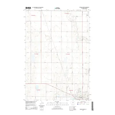 2015 Redfield North2015 Print · USGSSpink County agriculture and the northern outskirts of Redfield are the focus of this modern survey. Researchers can trace local burial records at Greenlawn Cem and Ashton Cem or explore the meandering drainage of Snake Cr.
 - 2015 Map of Ashton, 2015 Print
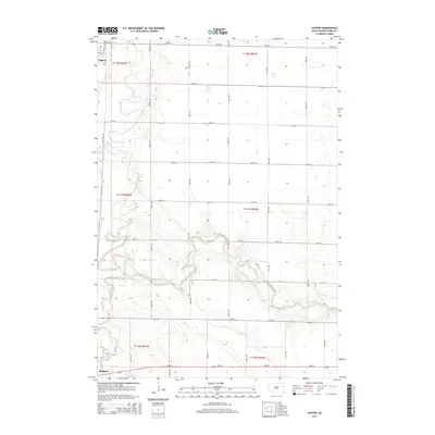 2015 Ashton2015 Print · USGSSpink County's river-driven landscape is captured here in the mid-2010s, showing the intersection of the prairie grid and the wandering James River. Genealogists and local researchers can trace the outskirts of Ashton and Redfield, or follow the routes of Railroad Ln and Turtle Creek.
 - 2017 Map of Redfield North, 2017 Print
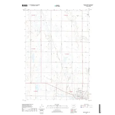 2017 Redfield North2017 Print · USGSSpink County, South Dakota, is captured here in the late 2010s, showing the settled prairie between Redfield and Ashton. Researchers can trace local burial grounds like Greenlawn Cem and Saint Bernard Cem or follow the path of Turtle Creek.
 - 2017 Map of Ashton, 2017 Print
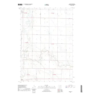 2017 Ashton2017 Print · USGSSpink County's river valleys and prairie wetlands are documented here in the late twenty-tens. Genealogists and researchers can trace the landscape between Ashton and Redfield, following the winding paths of the James River and Turtle Creek.
 - 2017 Map of Frankfort SW, 2017 Print
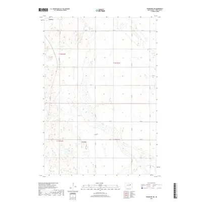 2017 Frankfort SW2017 Print · USGSSpink County agriculture and glacial wetlands define this landscape during the late 2010s. Genealogists and local researchers can locate the Crandon Cem and trace the rural road network connecting Redfield to the settlement of Crandon.
 - 2017 Map of Redfield South, 2017 Print
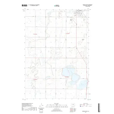 2017 Redfield South2017 Print · USGSSpink County’s prairie landscape is centered on the city of Redfield during the late twenty-first century. Researchers can trace the winding path of Turtle Creek as it flows past the Redfield Hills and the runways of Redfield Municipal Airport.
 - 2021 Map of Frankfort SW, 2021 Print
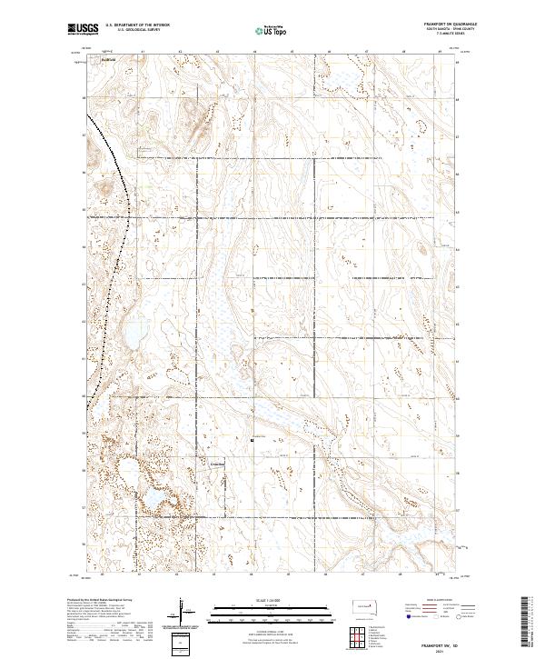 2021 Frankfort SW2021 Print · USGSSpink County's agricultural heartland is captured here in the early 2020s, showcasing the traditional section-line grid of the South Dakota plains. Genealogists and local historians can locate the Crandon Cem and trace the small community of Crandon along 387th Ave.
 - 2021 Map of Ashton, 2021 Print
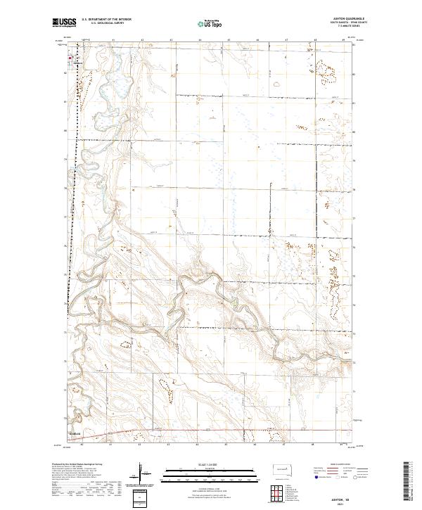 2021 Ashton2021 Print · USGSSpink County's river-bottom lands are captured here during the early twenty-first century as the James River winds between local townships. Genealogists and researchers can trace the rural infrastructure around Ashton, follow the path of Railroad Ln, and locate early homestead sites near Snake Cr.
 - 2021 Map of Redfield North, 2021 Print
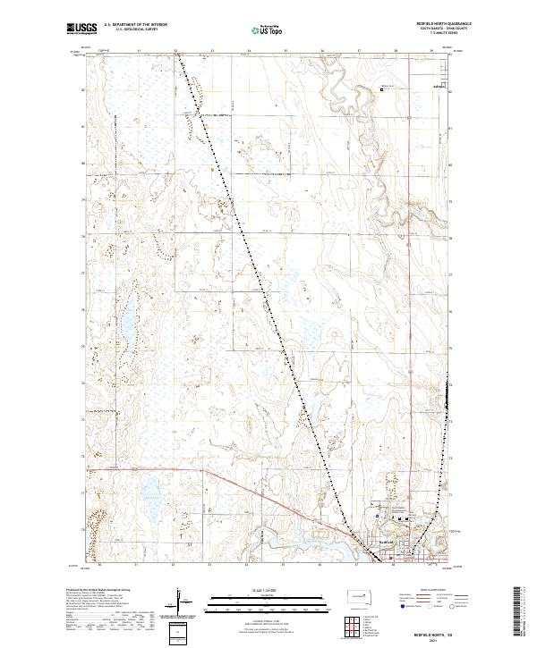 2021 Redfield North2021 Print · USGSSpink County's agricultural heartland is documented here in the early twenty-first century, centered on the plains between Redfield and Ashton. Researchers can trace local landmarks like the Spink County Courthouse or locate family plots at Greenlawn Cem and Saint Bernard Cem.
 - 2021 Map of Redfield South, 2021 Print
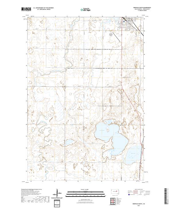 2021 Redfield South2021 Print · USGSRedfield at the start of the 2020s remains a vital Spink County hub defined by its prairie wetlands and section-line roads. Trace the civic center at the Spink County Courthouse or locate natural landmarks like Redfield Hill and the waters of Twin Lakes.
End of results
Showing maps 1-25 of 25
Top cities near Redfield Township
- Redfield historical maps
- Tulare historical maps
- Frankfort historical maps
- Ashton historical maps
- Hitchcock historical maps
- Athol historical maps
See more
Top neighborhoods of Redfield Township
Frequently asked questions
- What are the different types of historical maps available for Redfield Township?
- What is the oldest map of Redfield Township?
- Where can I purchase historical maps of Redfield Township for my home or office?
- Where can I download high-res historical maps of Redfield Township?
- Are there historical topographic maps available for Redfield Township?
- Is there historical aerial imagery available for Redfield Township?
- Where are historical maps of Redfield Township sourced from?