2020s Maps of Sully County, South Dakota
Explore 34 historic maps of Sully County from the 2020s. These maps offer a rare glimpse into what life looked like during the 2020s — showing old roads, neighborhoods, homes, and landmarks that have changed or disappeared over time.
Whether you're researching your family's past, planning a metal detecting trip, or studying how Sully County's landscape evolved across the 2020s, these high-resolution maps are a powerful tool for exploring the history of this region.
- Focus on a specific era: All maps on this page are from the 2020s, giving you a focused view of this time period.
- See what’s changed: Compare century-old streets, trails, and buildings to today's modern landscape using overlays and satellite layers.
- Research with precision: Use these maps for genealogy, historical research, land use analysis, or educational projects.
- View, download, or print: Maps are fully viewable online in high resolution, and can be downloaded or printed for your own records.
Start exploring Sully County's history through authentic maps from the 2020s. This is your window into the past.
Sully County, SD maps
(34)- 2021 Map of Okobojo SE, 2021 Print
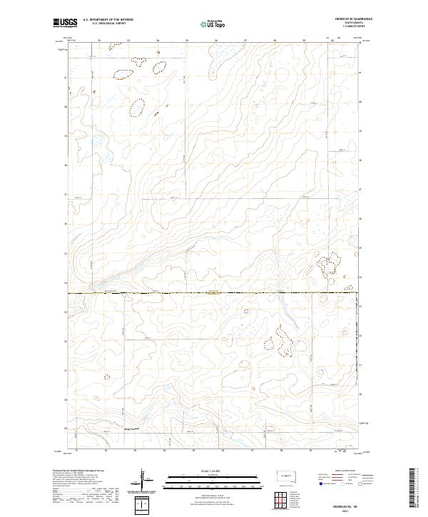 2021 Okobojo SE2021 Print · USGSThe rural uplands of Sully and Hughes counties are captured here in the early twenty-first century. Genealogists and local historians can trace the roads around the settlement of Gray Goose and follow the natural paths of Cow Creek and Spring Cr.
 - 2021 Map of Okobojo NE, 2021 Print
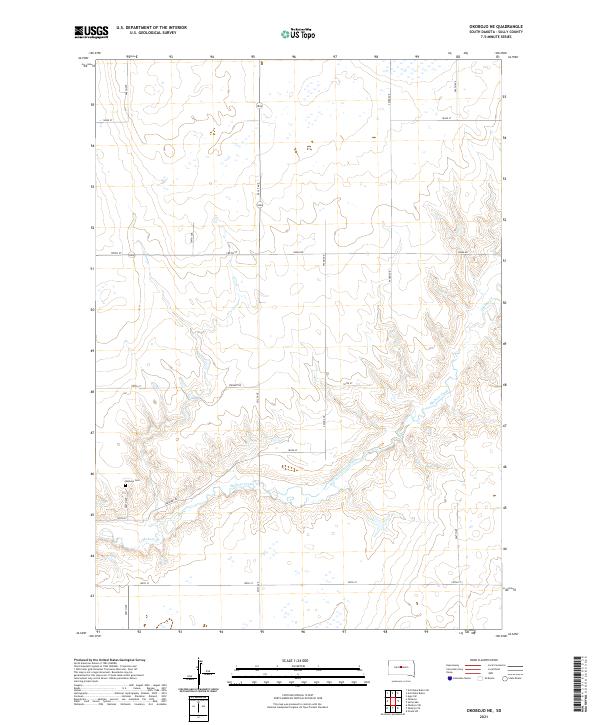 2021 Okobojo NE2021 Print · USGSSully County prairie lands are documented in this recent survey of the rural landscape near the Okobojo Creek drainage. Researchers can locate the Okobojo Cem and trace the section lines and roads like Onida Rd that define this farming region.
 - 2021 Map of Artichoke Butte, 2021 Print
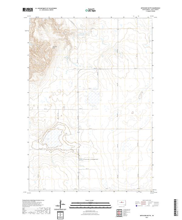 2021 Artichoke Butte2021 Print · USGSSully County’s high plains and wetland basins are captured here in the early twenty-first century, showing a landscape of organized agriculture. Genealogists and local researchers can trace the rural road grid from Agar Rd to the heights of Artichoke Butte.
 - 2021 Map of Gettysburg Municipal Airport SW, 2021 Print
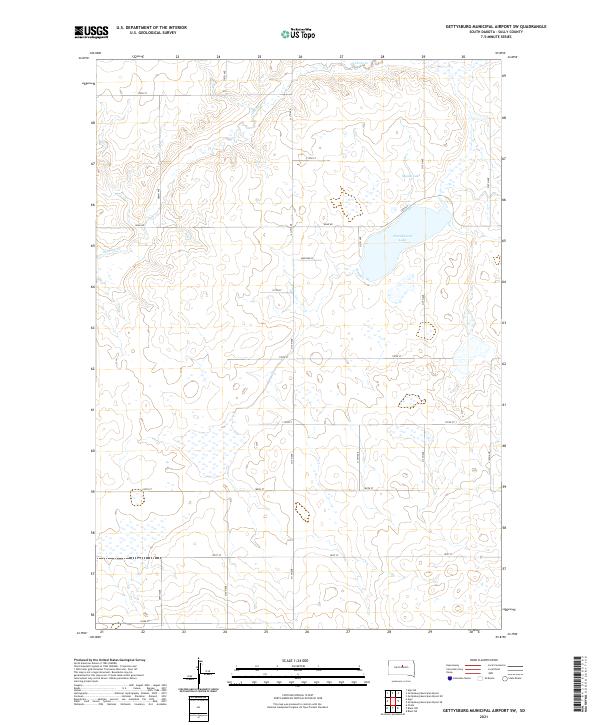 2021 Gettysburg Municipal Airport SW2021 Print · USGSSully County farmland is shown in the early 2020s, dominated by the wide basins of Cottonwood Lake and Mundt Lake. Researchers can trace rural property boundaries and the course of Okobojo Cr as it winds through the prairie.
 - 2021 Map of Thomas Lake SW, 2021 Print
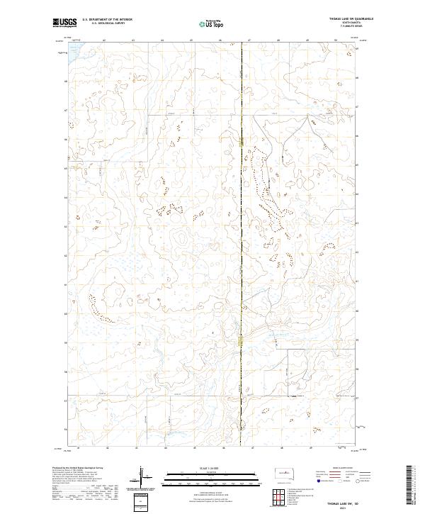 2021 Thomas Lake SW2021 Print · USGSThe borderlands of Sully and Hyde counties are shown here as they appeared in the early 2020s, dominated by wide-open prairie and glacial hydrology. Researchers can trace the path of Medicine Knoll Creek or locate remote landmarks like Stone Lake and Cougar Place.
 - 2021 Map of Agar, 2021 Print
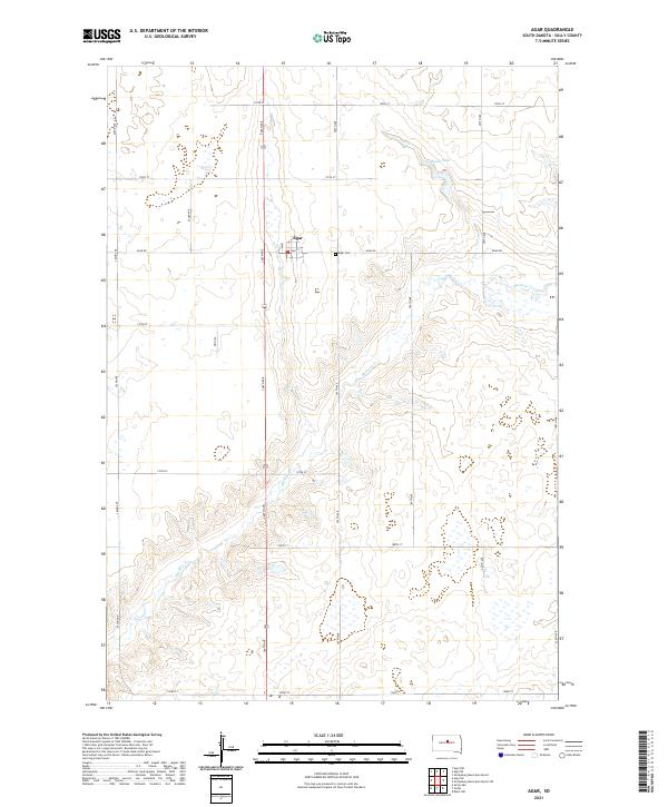 2021 Agar2021 Print · USGSSully County at the start of the 2020s shows a landscape of precision agriculture and deep-rooted community hubs. Genealogists and local historians can trace the grid around Agar out to Agar Cem and follow the natural course of Okobojo Cr.
 - 2021 Map of Harrold NW, 2021 Print
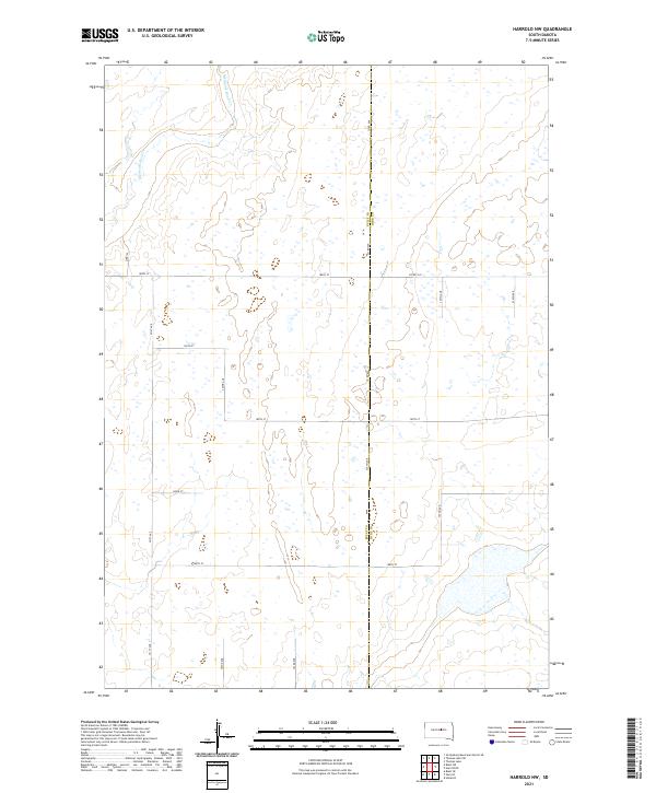 2021 Harrold NW2021 Print · USGSThe eastern edge of Sully County meets the Hyde County border in the early twenty-first century, showing a meticulously gridded prairie landscape. Genealogists and land researchers can trace property boundaries along Co Rd 649, 185th St, and the drainage of Medicine Knoll Cr.
 - 2021 Map of Onida SW, 2021 Print
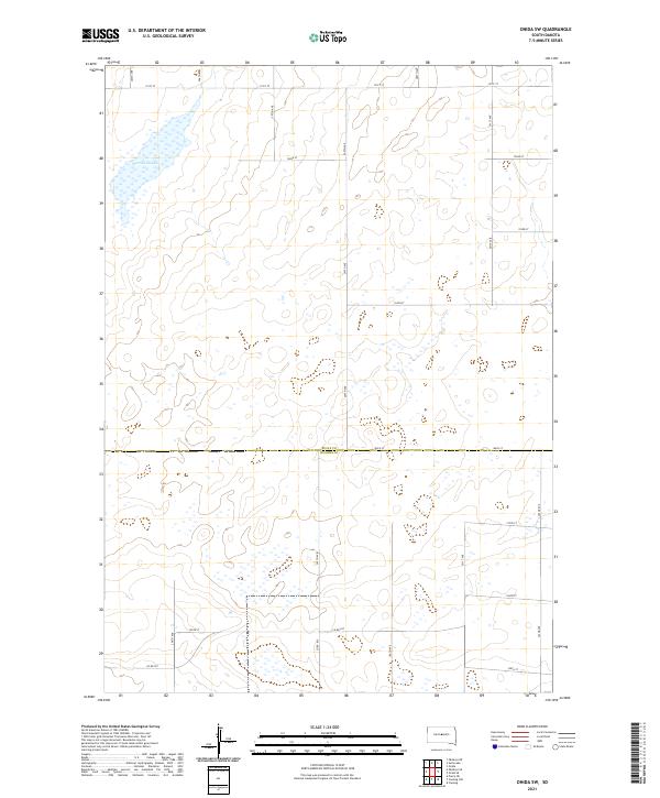 2021 Onida SW2021 Print · USGSThe open prairie along the Sully Co and Hughes Co line is documented here in the early twenty-first century. Genealogists and land researchers can trace the rural road grid and hydrology of the region, anchored by Warnes Slough and Co Rd 207.
 - 2021 Map of Blunt SE, 2021 Print
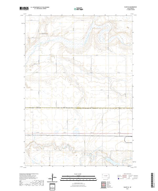 2021 Blunt SE2021 Print · USGSThe Sully and Hughes county line in central South Dakota is shown here as it appeared in the early 2020s. Genealogists and local researchers can trace the rural landscape around Medicine Knoll Creek, Swanson Lake, and Woodruff Lake.
 - 2021 Map of Agar NW, 2021 Print
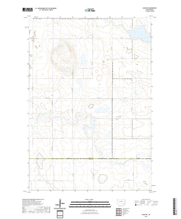 2021 Agar NW2021 Print · USGSPotter and Sully counties are shown here in the early twenty-first century, capturing a traditional South Dakota prairie landscape. Researchers can trace the path of Artichoke Creek and locate specific property boundaries along Potter Co and Sully Co lines.
 - 2021 Map of Blunt NE, 2021 Print
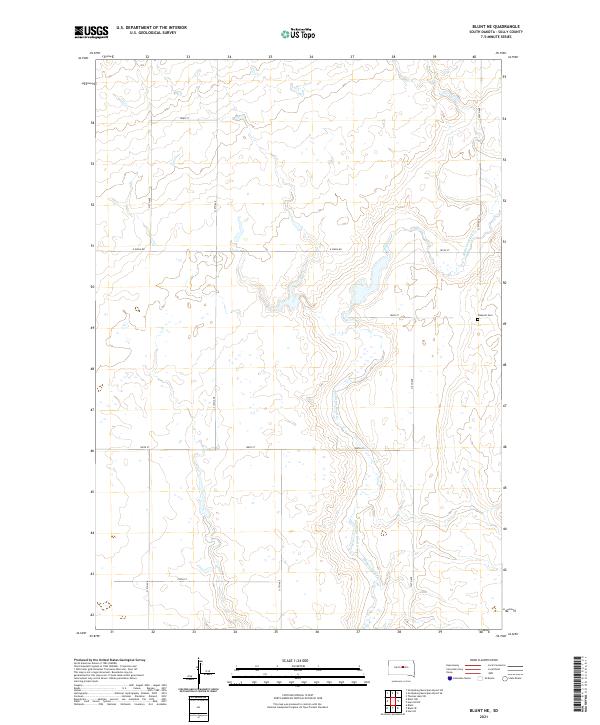 2021 Blunt NE2021 Print · USGSSully County in the early 2020s remains a landscape of wide-open prairie and disciplined agricultural grids. Researchers can trace the winding course of Medicine Knoll Creek and locate the historic Pleasant Cem near E Onida Rd.
 - 2021 Map of Agar NE, 2021 Print
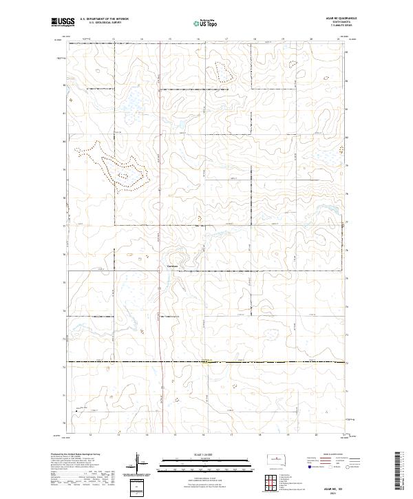 2021 Agar NE2021 Print · USGSPotter and Sully counties are captured here at the start of the 2020s, showing a traditional South Dakota prairie landscape. Researchers can trace the drainage of Artichoke Cr near Gorman or locate the rural Schreiber Cem.
 - 2021 Map of Gettysburg Municipal Airport SE, 2021 Print
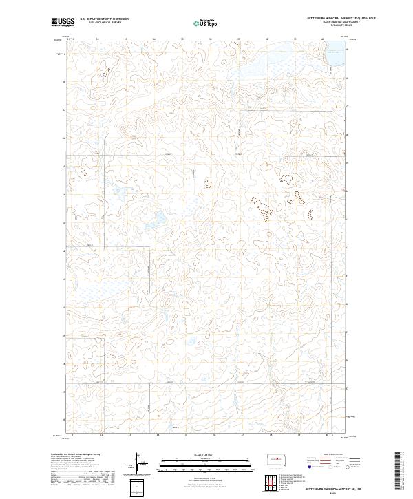 2021 Gettysburg Municipal Airport SE2021 Print · USGSSully County prairie lands are documented here in 2021, showing a vast agricultural grid centered on the township lines. Trace the local geography from the shores of Stone Lake across a network of section roads like 320th Ave and 181st St.
 - 2021 Map of Okobojo, 2021 Print
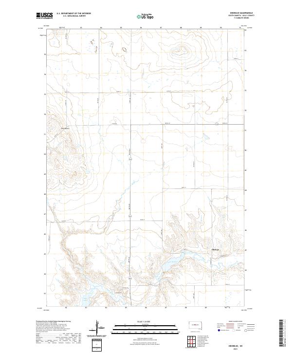 2021 Okobojo2021 Print · USGSSully County’s high plains meet the Missouri River breaks in the early twenty-first century. Researchers can trace the layout of the Okobojo settlement near the waters of Lake Okobojo and the prominent heights of the Sully Buttes.
 - 2021 Map of Gettysburg Municipal Airport, 2021 Print
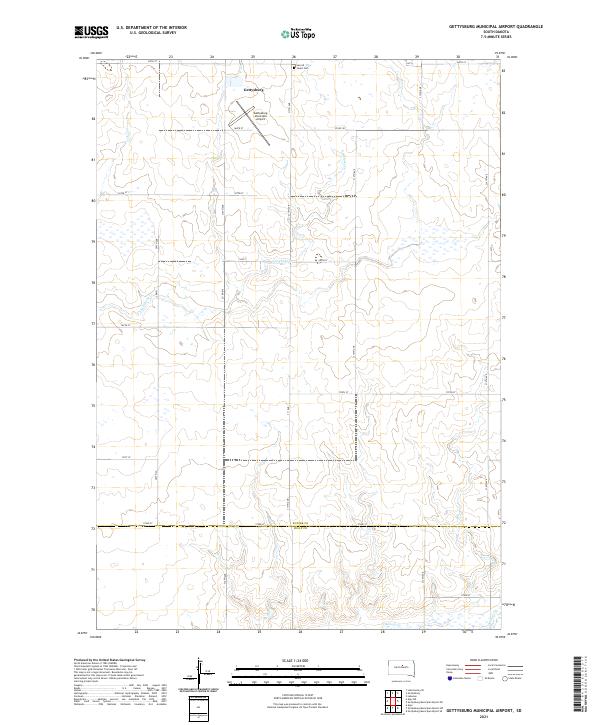 2021 Gettysburg Municipal Airport2021 Print · USGSPotter County and the outskirts of Gettysburg are shown in detail during the early 2020s. Genealogists and researchers can trace the rural landscape surrounding Sacred Heart Cem and the drainages of Artichoke Cr and Okobojo Cr.
 - 2021 Map of Blunt, 2021 Print
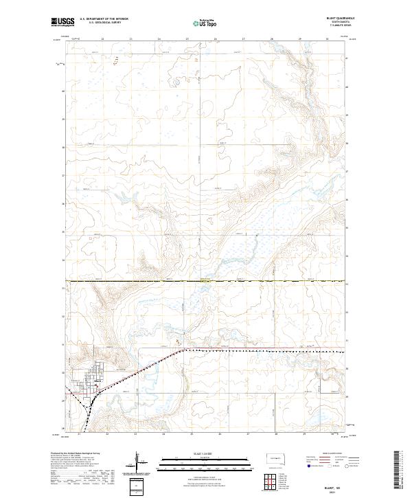 2021 Blunt2021 Print · USGSThe prairie town of Blunt is documented here in the early twenty-first century, showing the intersection of local commerce and the winding Medicine Knoll Creek. Genealogists and historians can trace the street-level detail of Blunt, from N Main St to the rural expanses along Raccoon Rd.
 - 2021 Map of Sully Lake, 2021 Print
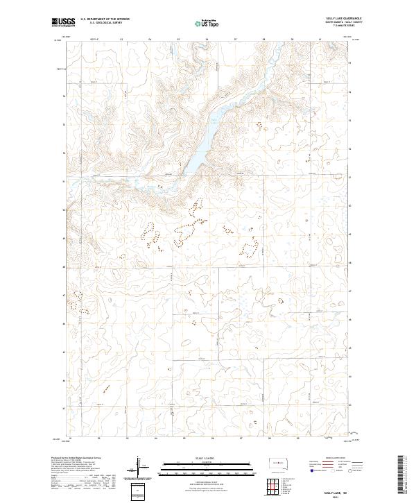 2021 Sully Lake2021 Print · USGSSully County at the start of the 2020s remains a landscape of sprawling agriculture and deep creek drainages. Genealogists and land researchers can trace contemporary section lines along Onida Rd or explore the drainage basins of Sully Lake and Okobojo Creek.
 - 2021 Map of Onida SE, 2021 Print
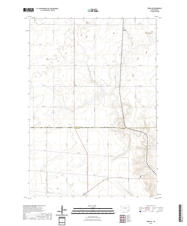 2021 Onida SE2021 Print · USGSCentral South Dakota's rural expanses are captured here at the dawn of the 2020s, straddling the Sully and Hughes county lines. Researchers can trace the section-line roads and field patterns that define this agricultural region, identifying local landmarks like Eakin and Blunt Cem.
 - 2021 Map of Thomas Lake NW, 2021 Print
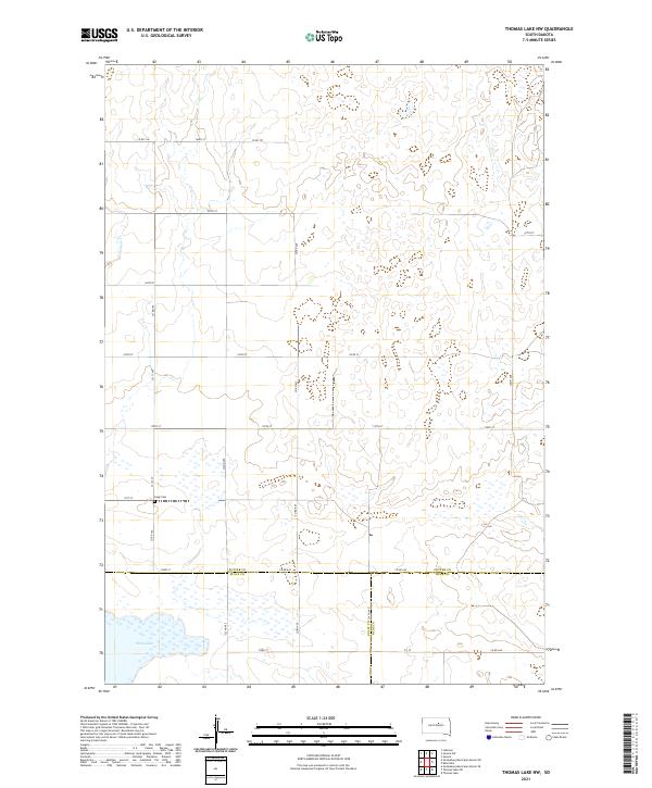 2021 Thomas Lake NW2021 Print · USGSThis high plains region at the meeting of Potter, Sully, and Hyde counties shows the enduring rural layout of central South Dakota. Researchers can locate the Copp Cem and trace the drainage of Okobojo Cr and the shoreline of Stone Lake.
 - 2021 Map of Harrold, 2021 Print
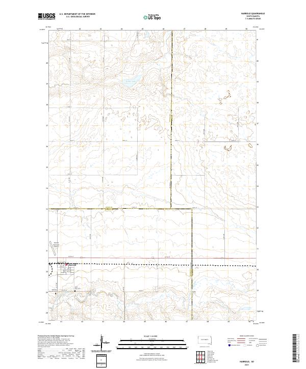 2021 Harrold2021 Print · USGSHarrold sits at a historic crossroads in Hughes County in the early twenty-first century, surrounded by the wide-open prairie. Genealogists and local historians can locate Medicine Hill Cem, Saint John Cem, and the Harrold Municipal Airport.
 - 2021 Map of Onida, 2021 Print
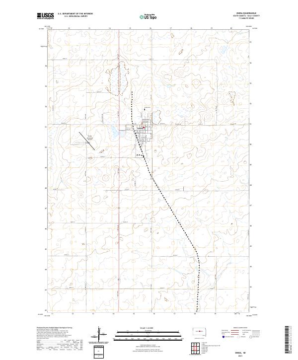 2021 Onida2021 Print · USGSThe Sully County seat at Onida is shown in detail during the early 2020s. Researchers can locate civic landmarks like the Sully County Courthouse and the Onida Cem, or trace the town's growth along Ash Ave and Main St.
 - 2021 Map of Blunt NW, 2021 Print
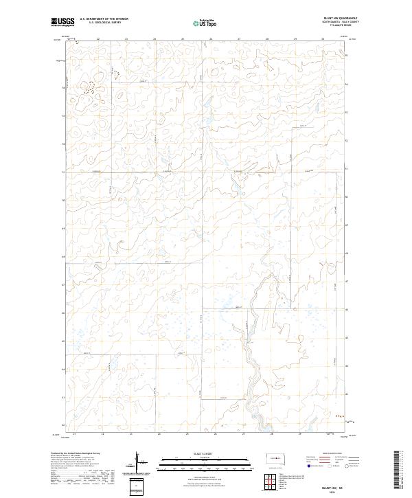 2021 Blunt NW2021 Print · USGSSully County township lines and section grids are meticulously detailed in this early twenty-first-century survey of the South Dakota prairie. Researchers can trace the local road network from E Onida Rd to the scattered wetlands along 312th Ave and 188th St.
 - 2021 Map of Gettysburg Municipal Airport NE, 2021 Print
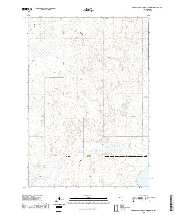 2021 Gettysburg Municipal Airport NE2021 Print · USGSThe High Plains of central South Dakota are depicted in this early twenty-first-century survey at the boundary of two counties. Genealogists and researchers can trace the section-line roads and drainage patterns around Stone Lake and Okobojo Creek.
 - 2021 Map of Agar SW, 2021 Print
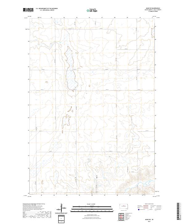 2021 Agar SW2021 Print · USGSSully County’s high-plains landscape is captured here in the early twenty-first century, showing a vast grid of agricultural land and seasonal wetlands. Researchers can trace the path of Okobojo Creek and the section lines of Agar Rd and 180th St across this sparsely settled prairie.
 - 2021 Map of Artichoke Butte NE, 2021 Print
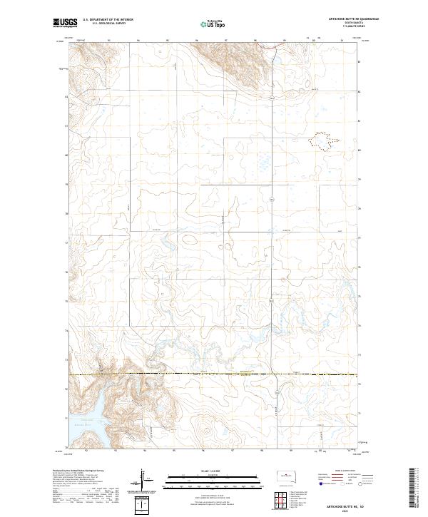 2021 Artichoke Butte NE2021 Print · USGSThe northern Missouri River breaks the prairie grid of central South Dakota in the early twenty-first century. Genealogists and researchers can trace the rural boundaries of Potter and Sully counties and locate access points like Sutton Bay Rd and Recreation Rd near Lake Oahe.
Showing maps 1-25 of 34
Top cities of Sully County
Frequently asked questions
- What are the different types of historical maps available for Sully County?
- What is the oldest map of Sully County?
- Where can I purchase historical maps of Sully County for my home or office?
- Where can I download high-res historical maps of Sully County?
- Are there historical topographic maps available for Sully County?
- Is there historical aerial imagery available for Sully County?
- Where are historical maps of Sully County sourced from?