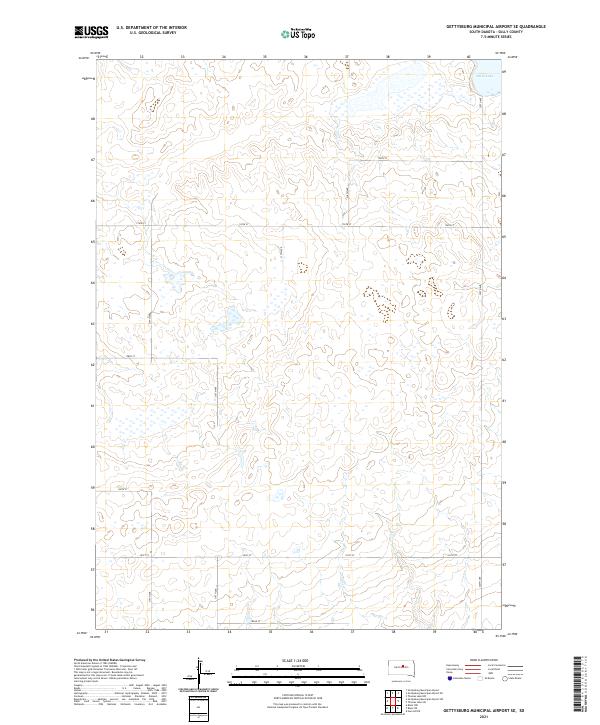
2021 Map of Gettysburg Municipal Airport SE
USGS Topo · Published 2021About this map
Stone Lake sits in the northeast corner of this central South Dakota landscape, a defining water feature in an otherwise strictly surveyed prairie. This 2021 update of Sully County terrain reveals the enduring importance of the Public Land Survey System, with the boundaries of T116n R75w, T116n R74w, T115n R75w, and T115n R74w dictating the placement of the local road network. The landscape is structured by a methodical grid of gravel roads and section lines, including 180th St, 182nd St, and 320th Ave. While primarily rural and agricultural, the map detail captures the modern infrastructure of the region, emphasizing the drainage patterns and subtle elevation changes of the Great Plains that have shaped local land use for generations.
Find a feature on this map
16 named features on this map. Tap any name to fly to it.
Don’t see what you’re looking for? This feature index may not catch every label — zoom into the map to look around manually.
Map Details
Editions of this 2021 Gettysburg Municipal Airport SE Map
This is the sole edition of this map. No revisions or reprints were ever made.
Other maps of this area

1953 · Huron
USGS Topo · 1:250,000

1954 · Huron
USGS Topo · 1:250,000
1967 · Blunt NW
USGS Topo · 1:24,000

1967 · Blunt NE
USGS Topo · 1:24,000

1968 · Harrold NW
USGS Topo · 1:24,000

1974 · Gettysburg Municipal Airport SE
USGS Topo · 1:24,000
1974 · Gettysburg Muni. Airport NE
USGS Topo · 1:24,000
1974 · Gettysburg Municipal Airport SW
USGS Topo · 1:24,000
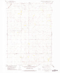
1978 · Gettysburg Muni. Airport
USGS Topo · 1:24,000
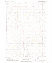
1978 · Thomas Lake SW
USGS Topo · 1:24,000