2000s (21st Century) Maps of Sully County, South Dakota
Explore 136 historic maps of Sully County from the 2000s (21st Century). These maps offer a rare glimpse into what life looked like during the 2000s — showing old roads, neighborhoods, homes, and landmarks that have changed or disappeared over time.
Whether you're researching your family's past, planning a metal detecting trip, or studying how Sully County's landscape evolved across the 2000s, these high-resolution maps are a powerful tool for exploring the history of this region.
- Focus on a specific era: All maps on this page are from the 2000s, giving you a focused view of this time period.
- See what’s changed: Compare century-old streets, trails, and buildings to today's modern landscape using overlays and satellite layers.
- Research with precision: Use these maps for genealogy, historical research, land use analysis, or educational projects.
- View, download, or print: Maps are fully viewable online in high resolution, and can be downloaded or printed for your own records.
Start exploring Sully County's history through authentic maps from the 2000s. This is your window into the past.
Sully County, SD maps
(136)- 2012 Map of Iron Post Buttes SW, 2012 Print
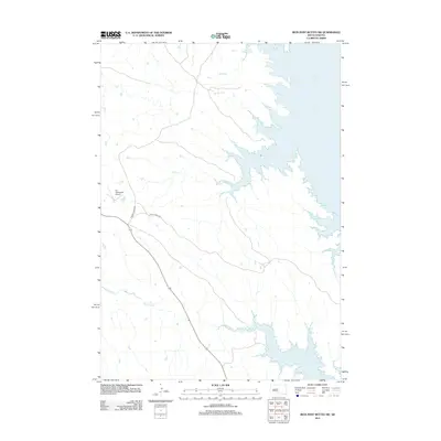 2012 Iron Post Buttes SW2012 Print · USGSStanley County at the start of the 2010s shows a landscape transformed by the Missouri River's waters and modern infrastructure. You can trace the rugged shoreline of Lake Oahe and locate rural landmarks like the W L Thompson Airport and Chantier Cr.
 - 2012 Map of Gettysburg Municipal Airport NE, 2012 Print
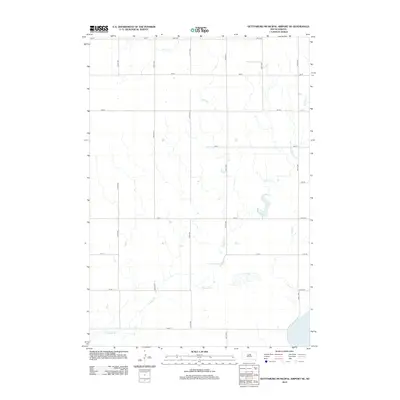 2012 Gettysburg Municipal Airport NE2012 Print · USGSPotter County remained a landscape of vast agricultural sections and deep prairie draws in the early twenty-first century. Researchers can trace the path of Okobojo Cr as it winds toward Stone Lake, following the rural grid of 170th St and 320th Ave.
 - 2012 Map of Harrold NW, 2012 Print
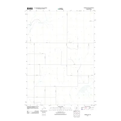 2012 Harrold NW2012 Print · USGSSully County’s rural prairie reaches are shown here in the early twenty-first century, a landscape defined by its grid of section-line roads. Researchers can trace land boundaries along 185th St and follow the natural drainage of Medicine Knoll Cr.
 - 2012 Map of Okobojo, 2012 Print
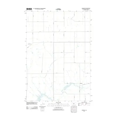 2012 Okobojo2012 Print · USGSSully County’s high prairie and reservoir shoreline are captured here in the early twenty-first century. Genealogists and researchers can trace the roads around the Okobojo settlement and locate landmarks like Sully Buttes, Lake Okobojo, and Lake Oahe.
 - 2012 Map of Artichoke Butte NE, 2012 Print
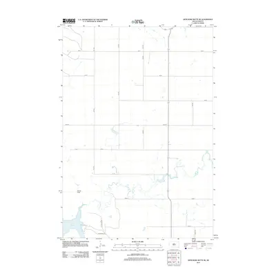 2012 Artichoke Butte NE2012 Print · USGSThe Missouri River shoreline in Potter County is captured here in the early twenty-first century as it meets the vast expanse of the reservoir. Genealogists and local historians can trace the rural road grid and shoreline access points like Sutton Bay Rd near Lake Oahe and Artichoke Cr.
 - 2012 Map of Harrold, 2012 Print
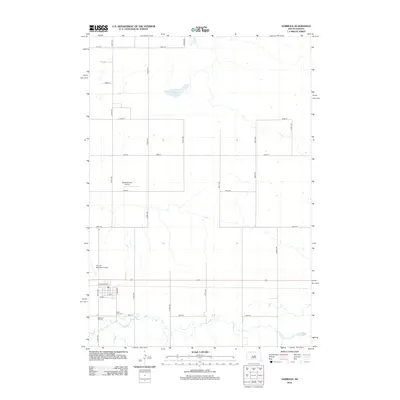 2012 Harrold2012 Print · USGSHarrold and its surrounding prairie are documented in this early twenty-first-century survey of Hughes County. Genealogists and local historians can locate Saint John Cem, Medicine Hill Cem, and the community's rural airfields like Bollweg Farm Airport.
 - 2012 Map of Iron Post Buttes SE, 2012 Print
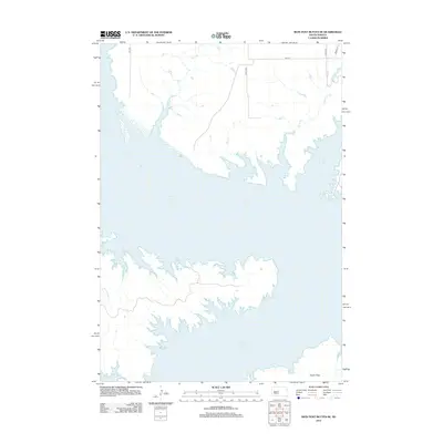 2012 Iron Post Buttes SE2012 Print · USGSThe Missouri River reservoir landscape of Hughes County is captured here in the early twenty-first century. Researchers can trace the complex shoreline of Lake Oahe and find the expansive Peoria Flats near local drainages like Plum Cr and Sully Cr.
 - 2012 Map of Sully Lake, 2012 Print
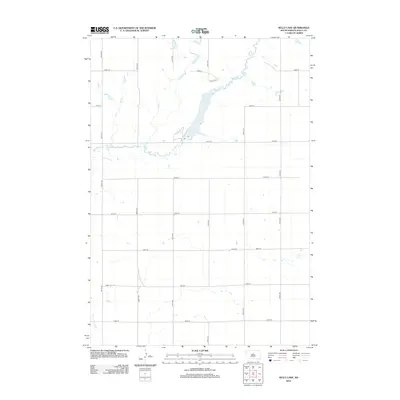 2012 Sully Lake2012 Print · USGSSully County at the start of the 2010s shows a landscape defined by the geometric precision of prairie section lines and the natural curves of the plains. Researchers can trace the drainage of Okobojo Cr as it feeds into Sully Lake and identify rural development along Sully Pl.
 - 2012 Map of Okobojo NE, 2012 Print
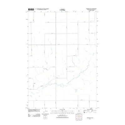 2012 Okobojo NE2012 Print · USGSSully County at the start of the 2010s is a landscape of expansive section lines and quiet prairie drainages. Genealogists and local historians can trace the placement of the Okobojo Cem and follow the path of Okobojo Cr through the county's rural grid.
 - 2012 Map of Gettysburg Municipal Airport SW, 2012 Print
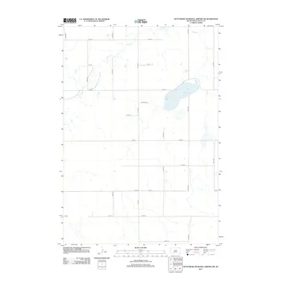 2012 Gettysburg Municipal Airport SW2012 Print · USGSSully County at the start of the twenty-first century remains a landscape of sprawling prairie and quiet wetlands. Historians and genealogists can trace the section-line roads and water features like Cottonwood Lake and the winding path of Okobojo Cr.
 - 2012 Map of Mail Shack Creek, 2012 Print
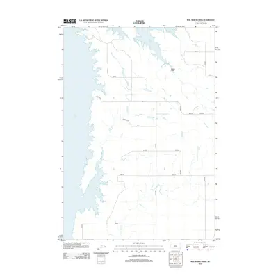 2012 Mail Shack Creek2012 Print · USGSStanley County's prairie landscape meets the expansive waters of the Missouri River valley in the early twenty-first century. Researchers can trace the intersection of section-line roads like Onida Rd with natural features such as Mail Shack Cr and the shoreline of Lake Oahe.
 - 2012 Map of Artichoke Butte SW, 2012 Print
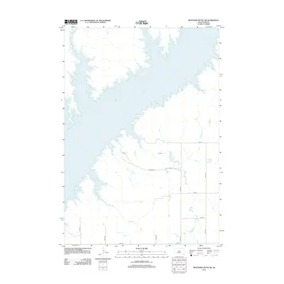 2012 Artichoke Butte SW2012 Print · USGSThe South Dakota prairie meets the expansive shoreline of the Missouri River in the early 2010s. Local researchers can locate Blair Cem and trace the winding paths of Bloody Run and Fuller Lake through the rural section-line roads.
 - 2012 Map of Gettysburg Municipal Airport SE, 2012 Print
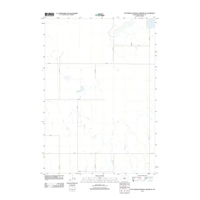 2012 Gettysburg Municipal Airport SE2012 Print · USGSSully County at the start of the 2010s is a landscape of expansive prairie and rigid section lines. Genealogists and land researchers can trace the gridded road network from 315th Ave to 320th Ave, focusing on the area surrounding Stone Lake.
 - 2012 Map of Iron Post Buttes, 2012 Print
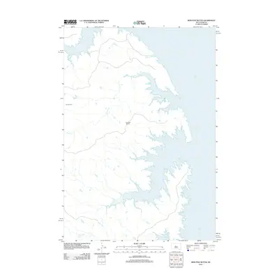 2012 Iron Post Buttes2012 Print · USGSStanley County in the early twenty-first century reveals a landscape shaped by the waters of the Missouri River. Genealogists and researchers can trace local landmarks like Donelan Ranch or follow the shoreline of Lake Oahe past Iron Post Buttes and Mission Cr.
 - 2012 Map of Agar, 2012 Print
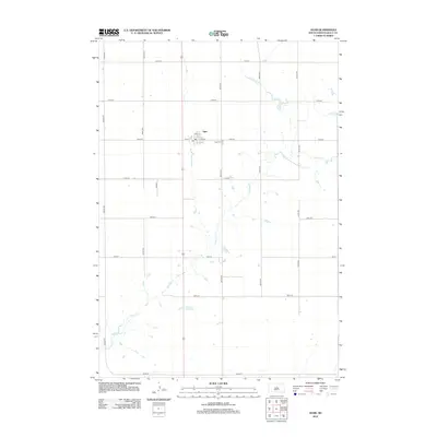 2012 Agar2012 Print · USGSThe northern plains of Sully County appear here in the early twenty-first century, centered on the small farming community of Agar. Researchers can trace local landmarks like the Agar Cem and the town PO, or follow the natural path of Okobojo Cr.
 - 2012 Map of Onida SE, 2012 Print
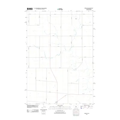 2012 Onida SE2012 Print · USGSSully County’s agricultural heartland is captured here in the early twenty-first century, showing the enduring grid of the high plains. Researchers can locate the Blunt Cem and the settlement of Eakin among the section roads like 306th Ave.
 - 2012 Map of Agar SW, 2012 Print
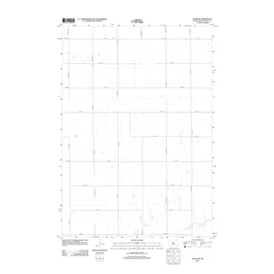 2012 Agar SW2012 Print · USGSSully County at the start of the 2010s remains a landscape of precise agricultural geometry and quiet prairie drainage. Researchers can trace the section-line road network and the winding course of Okobojo Cr near 182nd St and 301st Ave.
 - 2012 Map of Gettysburg Municipal Airport, 2012 Print
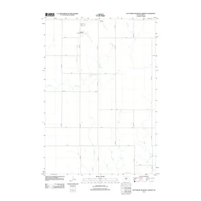 2012 Gettysburg Municipal Airport2012 Print · USGSThe rural expanse of Potter County comes into focus in this early twenty-first century survey of the South Dakota prairie. Genealogists and local historians can locate Sacred Heart Cemetery and trace the paths of Artichoke Creek and Okobojo Creek.
 - 2012 Map of Blunt NW, 2012 Print
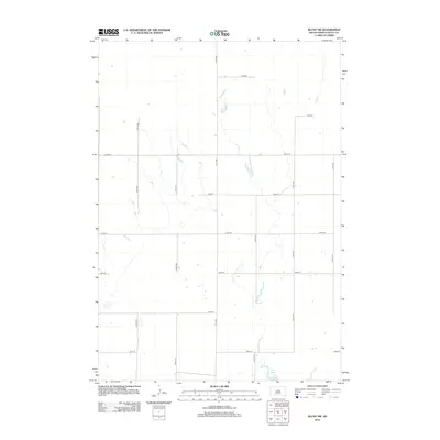 2012 Blunt NW2012 Print · USGSSully County’s agricultural heartland is documented here in the early twenty-first century, showing the enduring grid of section lines and prairie drainages. Researchers can trace land holdings and rural routes between Post Lake, 183rd St, and 311th Ave.
 - 2012 Map of Blunt NE, 2012 Print
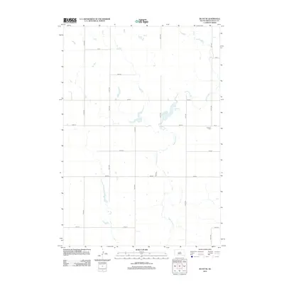 2012 Blunt NE2012 Print · USGSSully County at the start of the 2010s is defined by a precise grid of section-line roads and the winding path of Medicine Knoll Cr. Genealogists and researchers can locate landmarks like Pleasant Cem and the waters of Durrstein Lake.
 - 2012 Map of Okobojo SW, 2012 Print
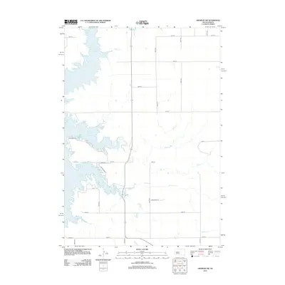 2012 Okobojo SW2012 Print · USGSThe Missouri River breaks of Hughes County are captured here in the early twenty-first century, showing the expansive shoreline of Lake Oahe. Researchers can trace the prairie drainage of Okobojo Cr and Spring Cr through the rural grid of the Dakotas.
 - 2012 Map of No Heart Creek SW, 2012 Print
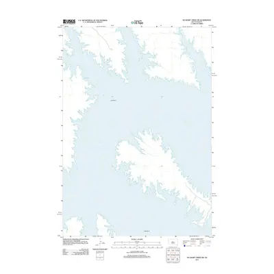 2012 No Heart Creek SW2012 Print · USGSThe Missouri River valley in central South Dakota is defined by the expansive waters of the reservoir in the early twenty-first century. Researchers can trace the winding shoreline of Lake Oahe and the prominent peninsula at Little Bend.
 - 2012 Map of Onida, 2012 Print
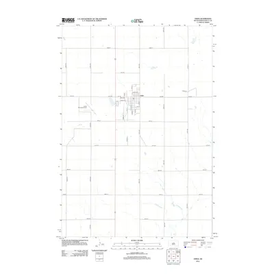 2012 Onida2012 Print · USGSThe Sully County seat of Onida is shown at the height of its modern layout, surrounded by the vast grid of South Dakota's farm country. Researchers can trace the town's growth through its residential streets and find landmarks like the Onida Municipal Airport and Rodeo Pl.
 - 2012 Map of Artichoke Butte, 2012 Print
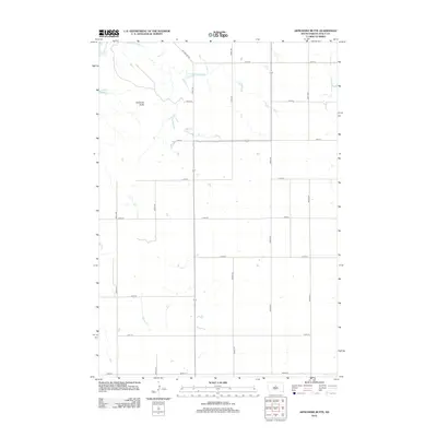 2012 Artichoke Butte2012 Print · USGSSully County at the dawn of the 2010s shows a landscape of wide-open ranching land transitioning into the river breaks of the Missouri. Researchers can trace the shoreline of Lake Oahe and locate landmarks like Artichoke Butte and Troy Lake.
 - 2012 Map of Blunt, 2012 Print
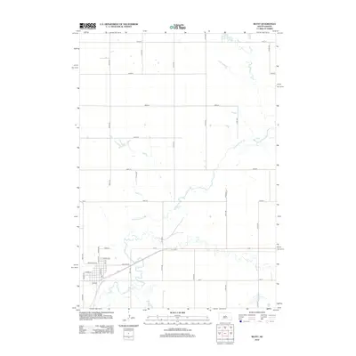 2012 Blunt2012 Print · USGSThe small prairie community of Blunt is shown in detail during the early 21st century, centered on its traditional street grid. Genealogists and local historians can trace property locations along N Main St and Marion Ave or follow the winding path of Medicine Knoll Cr.
Showing maps 1-25 of 136
Top cities of Sully County
Frequently asked questions
- What are the different types of historical maps available for Sully County?
- What is the oldest map of Sully County?
- Where can I purchase historical maps of Sully County for my home or office?
- Where can I download high-res historical maps of Sully County?
- Are there historical topographic maps available for Sully County?
- Is there historical aerial imagery available for Sully County?
- Where are historical maps of Sully County sourced from?