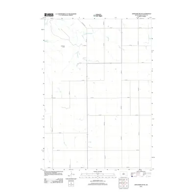
2012 Map of Artichoke Butte
USGS Topo · Published 2012About this map
Lake Oahe defines the western edge of this prairie landscape, where the Missouri River reservoir meets the high plains of Sully County. The terrain is marked by the prominent Artichoke Butte, a significant navigational landmark overlooking the broken drainage patterns that feed into the lake. Interior water features like Troy Lake punctuate the upland, providing essential water sources in an otherwise dry, section-lined agricultural environment. The area is surveyed into a rigid grid of rural routes, including Sutton Bay Rd and numerous numbered avenues such as 292nd Ave and 294th Ave. This layout reflects the systematic homesteading and ranching development of central South Dakota in the early 21st century, showing the persistence of large-scale land management near the river breaks.
Find a feature on this map
19 named features on this map. Tap any name to fly to it.
Don’t see what you’re looking for? This feature index may not catch every label — zoom into the map to look around manually.
Map Details
Editions of this 2012 Artichoke Butte Map
This is the sole edition of this map. No revisions or reprints were ever made.
Other maps of this area

1954 · Pierre
USGS Topo · 1:250,000

1958 · Pierre
USGS Topo · 1:250,000

1965 · Artichoke Butte
USGS Topo · 1:24,000

1965 · Agar SW
USGS Topo · 1:24,000

1965 · Okobojo NE
USGS Topo · 1:24,000

1965 · Artichoke Butte SW
USGS Topo · 1:24,000

1965 · Okobojo
USGS Topo · 1:24,000

1965 · Sully Lake
USGS Topo · 1:24,000

1969 · Artichoke Butte NW
USGS Topo · 1:24,000

1970 · Agar NW
USGS Topo · 1:24,000