Old Maps of Williston, Tennessee for Hiking & Exploration
Hike through history with 17 historic maps of Williston. Explore old trails, ghost towns, and forgotten backroads — perfect for outdoor adventurers and local explorers.
- Rediscover forgotten places: Map out old mining camps, roads, and footpaths that no longer exist on modern maps.
- Layer with modern tools: Combine with LiDAR or satellite views to plan hikes through historical terrain.
- Made for exploration: Popular among hikers, overlanders, and local history lovers.
Use these maps to find adventure and explore the hidden past of Williston.
Williston, TN maps
(17)- 1949 Map of Moscow, 1964 Print
 1949 Moscow1964 Print · USGSFayette County in the late nineteen-forties was a landscape of rail-centered commerce and deeply rooted rural communities. Genealogists and historians can trace numerous family-named landmarks and institutions, from the Fayette Co Training Sch to settlements like Moscow and Hays Crossing.
 - 1956 Map of Blytheville, 1964 Print
 1956 Blytheville1964 Print · USGSWest Tennessee and the Arkansas Delta come alive in this mid-century survey of the river-and-rail corridor connecting Memphis to Jackson. Genealogists and historians can trace the rail lines of the Louisville and Nashville RR and locate landmarks like Western State Hospital or Fort Pillow State Prison Farm.2 unique versions available
 - 1959 Map of Blytheville
 1959 Blytheville1959 Print · USGSWest Tennessee and Northeast Arkansas meet along the river in the late fifties, during a period of steady industrial and agricultural growth. Genealogists can trace the rail corridors of the Illinois Central through Jackson or explore landmarks like Shiloh National Military Park and Fort Pillow State Prison.
 - 1965 Map of Somerville, 1966 Print
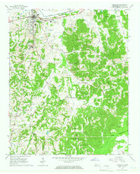 1965 Somerville1966 Print · USGSFayette County’s rural character is on full display in the mid-sixties, centered on the historic seat of Somerville. Genealogists can trace family names through numerous landmarks like Hutchins Cem, Brooks Sch, and the Rehobeth Ch.2 unique versions available
 - 1965 Map of Macon, 1966 Print
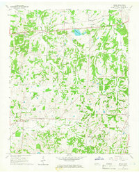 1965 Macon1966 Print · USGSMid-century Fayette County remains a landscape of small farming communities and family homesteads connected by the Louisville and Nashville rail line. Genealogists can trace dozens of local burial sites including Walled Cem, Macon Cem, and the Shady Grove Ch Cem.2 unique versions available
 - 1968 Map of Moscow
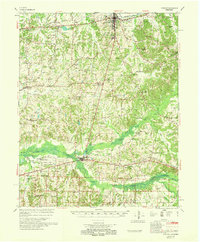 1968 Moscow1968 Print · USGSSouthern Fayette County in the late sixties reveals a landscape shaped by the Wolf River and the Southern railroad. Genealogists can trace family roots through numerous local landmarks like Corner Sch, Ebenezer Ch, and the Old State Line.
 - 1986 Map of Memphis East
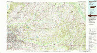 1986 Memphis East1986 Print · USGSWest Tennessee in the mid-eighties shows the meeting point of Memphis suburban growth and the deep bottomlands of the Hatchie River. Genealogists and historians can trace rail-town development along the Southern Railway and locate major landmarks like Ames Plantation and the U S Naval Air Station.2 unique versions available
 - 2010 Map of Macon, 2010 Print
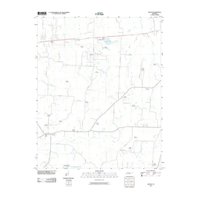 2010 Macon2010 Print · USGSFayette County at the turn of the millennium remains a landscape of deep familial roots and rural waterways. Genealogists can trace decades of local history through dozens of burial sites like Saint Pauls Cemetery and the Macon Post Office.
 - 2010 Map of Somerville, 2010 Print
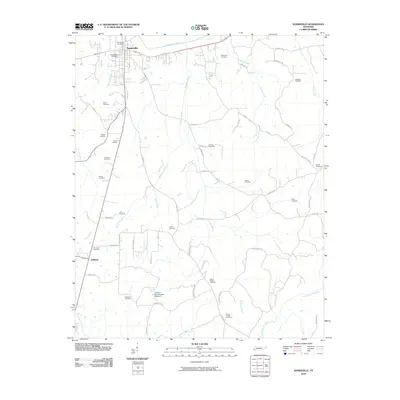 2010 Somerville2010 Print · USGSFayette County's river-fed lowlands are captured here in the early twenty-first century as the area maintains its rural character. Genealogists and historians can locate numerous family burial sites, including Peebles Cemetery, Hutchins Cemetery, and Gatley Cemetery.
 - 2013 Map of Macon, 2013 Print
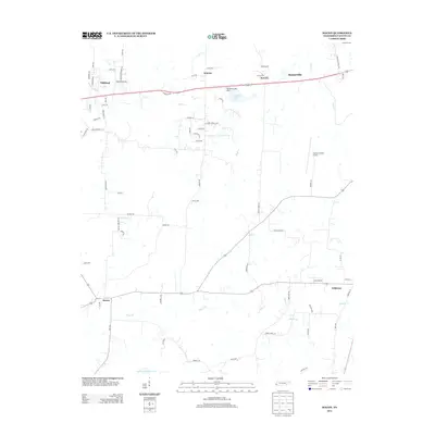 2013 Macon2013 Print · USGSFayette County at the start of the 2010s shows a landscape of traditional farm communities and emerging rural subdivisions. Genealogists and local historians can trace the roads around Macon, Williston, and the Fayette County Airport.
 - 2013 Map of Somerville, 2013 Print
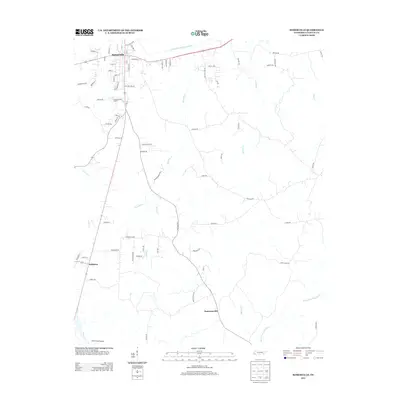 2013 Somerville2013 Print · USGSFayette County was characterized by its river-drainage networks and expanding rural road systems in the early twenty-first century. Researchers can trace the development of Somerville and Williston while locating landmarks like Hawks Nest Airport and the Loosahatchie River Canal.
 - 2016 Map of Somerville, 2016 Print
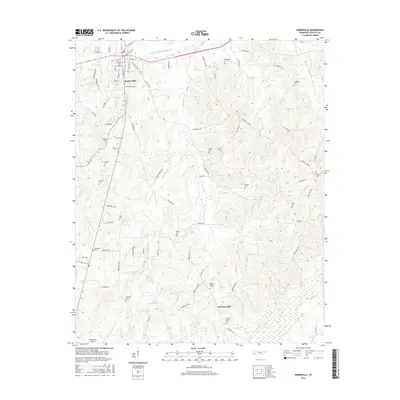 2016 Somerville2016 Print · USGSFayette County's agricultural heartland is documented here in the mid-2010s, centered on the historic seat of Somerville and the smaller Pattersonville. Genealogists can locate numerous family and community sites like Rehobeth Cem, Evergreen Cem, and Peebles Cem.
 - 2016 Map of Macon, 2016 Print
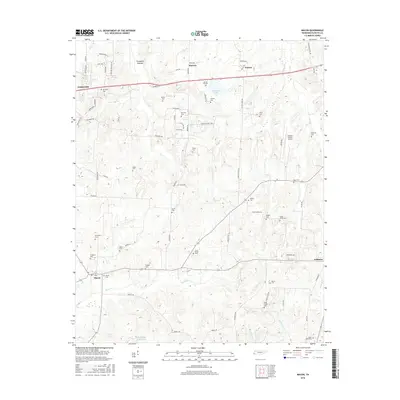 2016 Macon2016 Print · USGSFayette County in the mid-2010s shows a landscape of established rural towns and historic family sites. Genealogists can trace decades of local heritage through numerous burial grounds like Macon Cem, McFerrin Cem, and Shady Grove Cem.
 - 2019 Map of Macon, 2019 Print
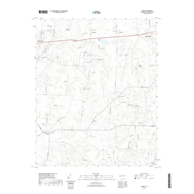 2019 Macon2019 Print · USGSFayette County's rural landscape is captured here in the late 2010s, showing the agricultural and residential patterns between Oakland and Somerville. Researchers can trace dozens of local burial sites, including Spring Hill Cem, Sardis Cem, and Macon Cem.
 - 2019 Map of Somerville, 2019 Print
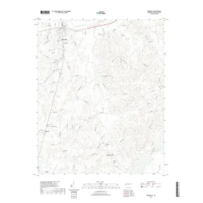 2019 Somerville2019 Print · USGSFayette County’s rural character and long-standing family settlements are documented here in the late twenty-teens. Genealogists can trace local history through dozens of burial grounds, including Rehobeth Cem, Evergreen Cem, and Mount Pisgah Cem.
 - 2022 Map of Macon, 2022 Print
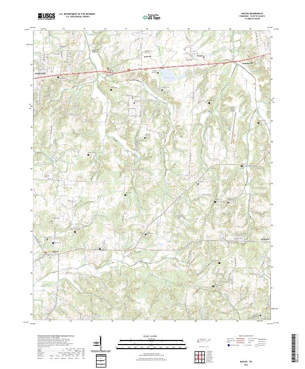 2022 Macon2022 Print · USGSFayette County is captured in the early 2020s, revealing a landscape where modern infrastructure meets deep-rooted rural history. Genealogists can trace family names across a high density of burial sites like Lewis Parrot Cem and Macon Cem, or locate historic gathering places such as Macon Missionary Baptist Church.
 - 2022 Map of Somerville, 2022 Print
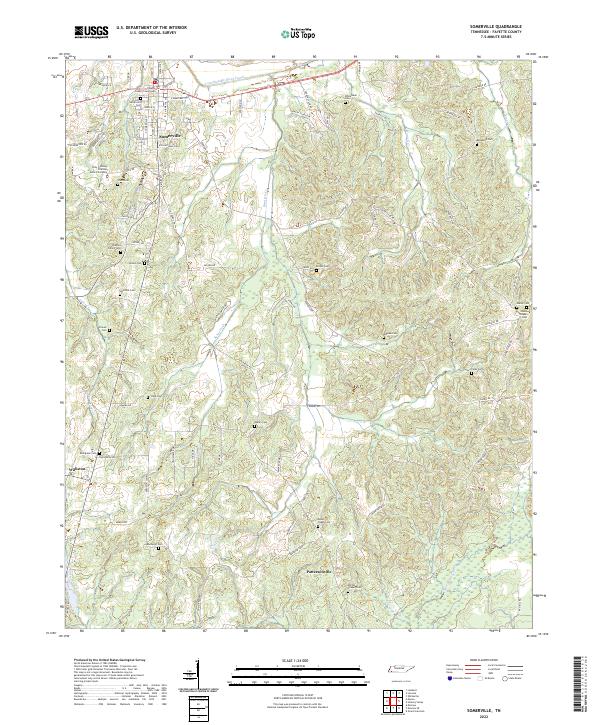 2022 Somerville2022 Print · USGSFayette County's seat and its surrounding rural landscapes are captured here during a period of modern mapping. Genealogists and historians can trace numerous family burial grounds, such as Peebies Family Cem and Mount Pisgah Cem, alongside the historic Fayette County Courthouse.
End of results
Showing maps 1-17 of 17
Top cities near Williston
- Oakland historical maps
- Somerville historical maps
- Whiteville historical maps
- Piperton historical maps
- Gallaway historical maps
- Moscow historical maps
See more
Frequently asked questions
- What are the different types of historical maps available for Williston?
- What is the oldest map of Williston?
- Where can I purchase historical maps of Williston for my home or office?
- Where can I download high-res historical maps of Williston?
- Are there historical topographic maps available for Williston?
- Is there historical aerial imagery available for Williston?
- Where are historical maps of Williston sourced from?