Old Maps of Lobelville, Tennessee for Metal Detecting
Plan your next treasure hunt with 16 historic maps of Lobelville. Find old homesites, ghost towns, trails, and gathering spots that may be lost to time — perfect for identifying promising metal detecting locations.
- Locate forgotten sites: Uncover places like long-lost settlements, abandoned rail lines, or gathering spots.
- Plan better hunts: Use map overlays combined with LiDAR or satellite views to narrow in on historically rich areas.
- Made for detectorists: Thousands of hobbyists use these maps to discover relics, coins, and hidden history.
Use these historic maps to boost your research and find new opportunities beneath the surface of Lobelville.
Lobelville, TN maps
(16)- 1936 Map of Chestnut Grove
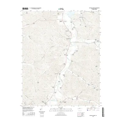
 1936 Chestnut Grove1936 Print · USGSPerry County settlements and riverside farms are captured here in the mid-1930s as the Tennessee Valley Authority documented the local landscape. Genealogists can trace family footprints through sites like Beardstown, DePriest Cem, and the Warren Ch near the Buffalo River.
 - 1936 Map of Lobelville
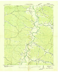
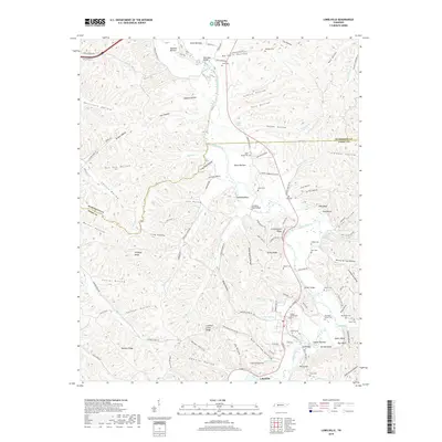
 1936 Lobelville1936 Print · USGSLobelville and the surrounding Buffalo River valley are captured here in the mid-1930s as the Tennessee Valley Authority began its regional work. Researchers can trace family sites like Davidson Cem, locate the Lobelville Mill & and Power House, and find rural landmarks like Terrapin Sch.
 - 1950 Map of Chestnut Grove, 1953 Print
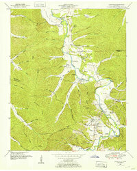
 1950 Chestnut Grove1953 Print · USGSPerry County and the Buffalo River valley are mapped here in the early postwar years as rural communities remained deeply tied to the land. Genealogists and local historians can trace family roots through numerous small burial grounds and landmarks like Beardstown, Parnell School, and Fairview Ch.3 unique versions available
 - 1950 Map of Lobelville, 1953 Print
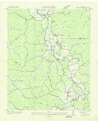
 1950 Lobelville1953 Print · USGSPerry County and the Buffalo River valley are captured in the early 1950s, showing a landscape of ridge-and-hollow farmsteads and riverside bottoms. Genealogists can locate family burial grounds like the Dodson Cemeteries or trace the area around Lobelville and Standing Rock.3 unique versions available
 - 1956 Map of Columbia, 1960 Print
 1956 Columbia1960 Print · USGSMiddle Tennessee in the mid-fifties presents a landscape of established river towns and critical rail hubs before the arrival of the modern interstate system. Researchers can trace the routes of the Louisville and Nashville railroad or locate historic landmarks like Stones River National Military Park and the Tennessee National Wildlife Refuge.6 unique versions available
 - 1986 Map of Hohenwald
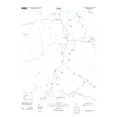
 1986 Hohenwald1986 Print · USGSThe Western Highland Rim of Tennessee comes into focus during the mid-eighties, showing the deep river valleys and high ridges of Lewis and Perry counties. Researchers can trace the path of the Natchez Trace Parkway or locate interior settlements like Chestnut Grove, Farmers Exchange, and Hustburg.3 unique versions available
 - 2010 Map of Chestnut Grove, 2010 Print
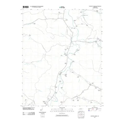 2010 Chestnut Grove2010 Print · USGSCovers Lobelville, including Chestnut Grove, Beardstown, and other nearby areas
 - 2010 Map of Lobelville, 2010 Print
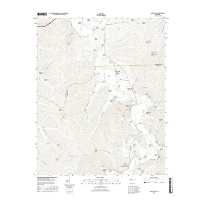
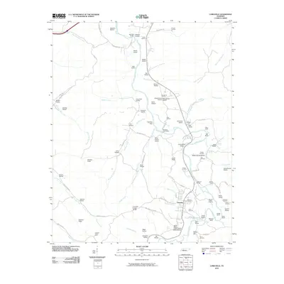 2010 Lobelville2010 Print · USGSCovers Lobelville, including Humphreys County, Perry County, and other nearby areas
 - 2013 Map of Chestnut Grove, 2013 Print
 2013 Chestnut Grove2013 Print · USGSCovers Lobelville, including Chestnut Grove, Beardstown, and other nearby areas
 - 2013 Map of Lobelville, 2013 Print
 2013 Lobelville2013 Print · USGSCovers Lobelville, including Humphreys County, Perry County, and other nearby areas
 - 2016 Map of Chestnut Grove, 2016 Print
 2016 Chestnut Grove2016 Print · USGSCovers Lobelville, including Chestnut Grove, Beardstown, and other nearby areas
 - 2016 Map of Lobelville, 2016 Print
 2016 Lobelville2016 Print · USGSCovers Lobelville, including Humphreys County, Perry County, and other nearby areas
 - 2019 Map of Chestnut Grove, 2019 Print
 2019 Chestnut Grove2019 Print · USGSCovers Lobelville, including Chestnut Grove, Beardstown, and other nearby areas
 - 2019 Map of Lobelville, 2019 Print
 2019 Lobelville2019 Print · USGSCovers Lobelville, including Humphreys County, Perry County, and other nearby areas
 - 2022 Map of Chestnut Grove, 2022 Print
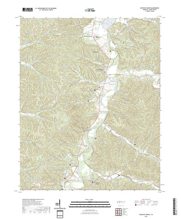 2022 Chestnut Grove2022 Print · USGSPerry County's river-carved hills are shown here in the 2020s, highlighting the enduring settlement patterns along the Buffalo River. Researchers can locate numerous family burial grounds including Murray Cem and Cude Cem or trace the rural routes through Toad Hollow and Beardstown.
 - 2022 Map of Lobelville, 2022 Print
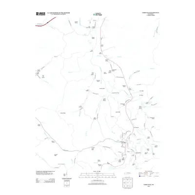
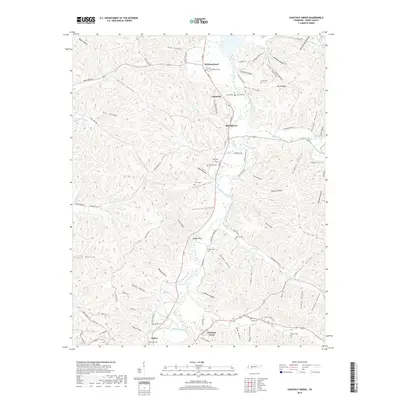
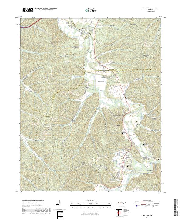 2022 Lobelville2022 Print · USGSThe Buffalo River valley in the early 2020s remains a landscape of traditional river bottoms and family landmarks. Genealogists can trace decades of history at Bone Spring Cem, Leeper Cem, and Gray Cem near Lobelville.
End of results
Showing maps 1-16 of 16
Top cities near Lobelville
Top neighborhoods of Lobelville
Frequently asked questions
- What are the different types of historical maps available for Lobelville?
- What is the oldest map of Lobelville?
- Where can I purchase historical maps of Lobelville for my home or office?
- Where can I download high-res historical maps of Lobelville?
- Are there historical topographic maps available for Lobelville?
- Is there historical aerial imagery available for Lobelville?
- Where are historical maps of Lobelville sourced from?