Old Maps of Hambright, Tennessee for Metal Detecting
Plan your next treasure hunt with 20 historic maps of Hambright. Find old homesites, ghost towns, trails, and gathering spots that may be lost to time — perfect for identifying promising metal detecting locations.
- Locate forgotten sites: Uncover places like long-lost settlements, abandoned rail lines, or gathering spots.
- Plan better hunts: Use map overlays combined with LiDAR or satellite views to narrow in on historically rich areas.
- Made for detectorists: Thousands of hobbyists use these maps to discover relics, coins, and hidden history.
Use these historic maps to boost your research and find new opportunities beneath the surface of Hambright.
Hambright, TN maps
(20)- 1886 Map of Cleveland
 1886 Cleveland1886 Print · USGSSoutheast Tennessee in the mid-1880s was a landscape defined by the iron rails and winding rivers that fueled the region's growth. You can trace early river crossings like Savannah Ford and Kincannons Ferry or locate old community centers like Chestua Mills.
 - 1892 Map of Cleveland
 1892 Cleveland1892 Print · USGSSoutheast Tennessee is captured in the late nineteenth century as a landscape of river ferries and emerging rail junctions. Genealogists and historians can locate early settlements like Charleston and Riceville or trace the original river crossings at Kincannons Ferry and Helderbrand Ford.
 - 1895 Map of Cleveland
 1895 Cleveland1895 Print · USGSSoutheast Tennessee thrived along the Hiwassee River and its rail corridors during the 1890s. Genealogists and historians can trace defunct river crossings like Bunker Hill Ferry and milling sites including Chestuee Mills and Longs Mills.
 - 1901 Map of Cleveland
 1901 Cleveland1901 Print · USGSSoutheast Tennessee was a thriving hub of river and rail commerce at the dawn of the twentieth century. Genealogists can trace family homesteads near vanished landmarks like Marble Switch, Bunker Hill Ferry, or the early settlements of Riceville and Benton.4 unique versions available
 - 1935 Map of Oswald Bald
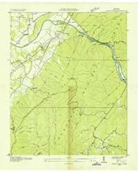 1935 Oswald Bald1935 Print · USGSThe Hiwassee River valley in the mid-1930s shows a landscape of mountain ridges and early Tennessee Valley Authority infrastructure. Trace family history at Taylor Sch and Benton Springs, or locate old industrial sites like Harrison Mill.
 - 1937 Map of Oswald Dome, 1954 Print
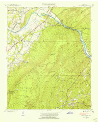 1937 Oswald Dome1954 Print · USGSPolk County in the late 1930s was a rugged river-and-rail corridor centered on the Hiwassee River and the Louisville and Nashville tracks. Family historians can trace local roots through landmarks like the Campbellite Cemetery, Antioch Church, and the river crossing at Reliance.
 - 1938 Map of Oswald Dome
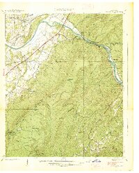 1938 Oswald Dome1938 Print · USGSPolk County in the late 1930s shows a mountain landscape where the Hiwassee River meets the Louisville and Nashville RR. Genealogists and researchers can trace family landmarks like Harrison Mill, Paris Cem, and the community at Reliance.
 - 1953 Map of Chattanooga
 1953 Chattanooga1953 Print · USGSSoutheast Tennessee in the early fifties shows a landscape reshaped by river management and rail power. Trace the rail lines of the Southern Ry through riverside towns or locate the preserved grounds of the Chickamauga and Chattanooga National Military Park.
 - 1957 Map of Chattanooga, 1966 Print
 1957 Chattanooga1966 Print · USGSEast Tennessee in the mid-1960s shows a landscape of massive hydroelectric reservoirs and emerging industrial sites like the Atomic Energy Commission (Oak Ridge Area). Trace the rail networks of the Southern Ry through Chattanooga or locate family-named ridges across the Cumberland Plateau.3 unique versions available
 - 1959 Map of Chattanooga
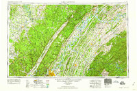 1959 Chattanooga1959 Print · USGSSoutheast Tennessee is shown here during a decade of industrial growth and hydroelectric development. Trace the regional rail networks of the Southern Ry and find landmark sites like Lookout Mountain, Fall Creek Falls State Park, and Chattanooga.
 - 1960 Map of Chattanooga
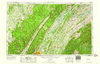 1960 Chattanooga1960 Print · USGSSoutheast Tennessee and the southern Appalachians are shown here at the height of the river-management era. You can trace the valley rail lines and locate Lookout Mountain and the expansive waters of Chickamauga Reservoir.
 - 1964 Map of Chattanooga
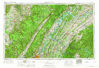 1964 Chattanooga1964 Print · USGSSoutheast Tennessee and the western Carolinas appear in the mid-sixties as a powerhouse of river-driven industry and mountain wilderness. Genealogists and historians can trace rail-town lineages along the Southern Ry or locate family landmarks near Watts Bar Lake and Tellico Plains.
 - 1967 Map of Oswald Dome, 1970 Print
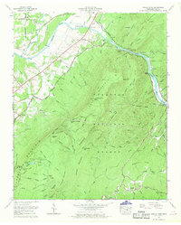 1967 Oswald Dome1970 Print · USGSPolk County communities thrive along the river and rail lines during the late sixties. Researchers can trace family roots at Reliance, locate the Sileermine near Chilhowee Mountain, or find the Greasy Creek School and Parris Cem.2 unique versions available
 - 1981 Map of Cleveland
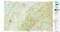 1981 Cleveland1981 Print · USGSSoutheast Tennessee and Western North Carolina are documented here in the early eighties, as the Tennessee Valley Authority managed the region's vast river and forest resources. Researchers can trace the rail lines of the Southern and Louisville and Nashville or locate industrial sites in the Copper Basin and settlements like Ducktown.2 unique versions available
 - 2003 Map of Oswald Dome, 2004 Print
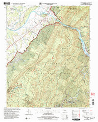 2003 Oswald Dome2004 Print · USGSPolk County, Tennessee, is captured here in the early twenty-first century as a land of deep river gorges and timbered ridges. Researchers can trace rural lineages through sites like Archville, Antioch Cem, and the Hiwassee Union Ch.
 - 2011 Map of Oswald Dome, 2011 Print
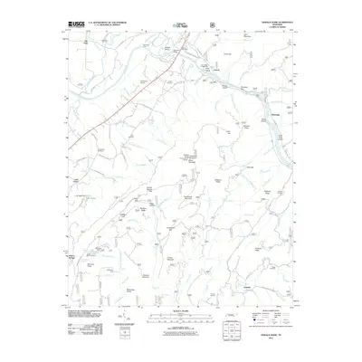 2011 Oswald Dome2011 Print · USGSBenton Springs and the Hiwassee River valley are documented here in the early twenty-first century. Genealogists and historians can locate numerous family burial sites like Parris Cemetery and Reliance Cemetery or trace old river landmarks like Savannah Ford.
 - 2013 Map of Oswald Dome, 2013 Print
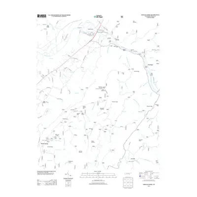 2013 Oswald Dome2013 Print · USGSThe Hiwassee River valley in southeastern Tennessee is shown here in the early twenty-first century as a mix of river settlements and forest ridges. Researchers can trace the layout of Benton Springs, locate the DeSoto Monument, and explore family-named terrain like McCamy Ridge and Ernie King Hollow.
 - 2016 Map of Oswald Dome, 2016 Print
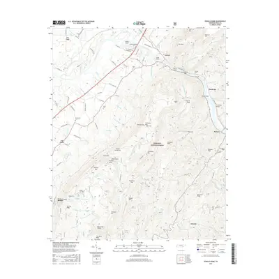 2016 Oswald Dome2016 Print · USGSPolk County, Tennessee, is captured here as the modern century began, showing the deep river valleys and high forest ridges of the Hiwassee region. Researchers can trace local lineage through numerous sites like Reliance Cem and Parris Cem, or locate landmarks such as Harbinson Bridge and Benton Springs.
 - 2019 Map of Oswald Dome, 2019 Print
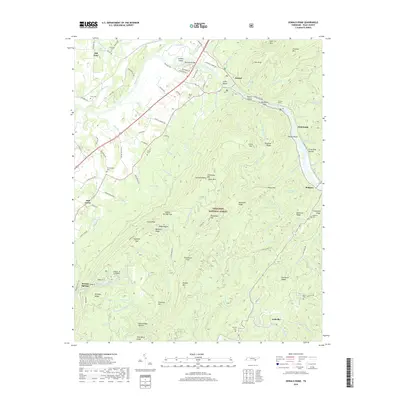 2019 Oswald Dome2019 Print · USGSPolk County mountain life and river settlements are preserved in this recent survey of the Hiwassee River valley. Genealogists and historians can trace family locations near Old Patty, Benton Springs, and numerous family burial sites like Parris Cem and Runyon Cem.
 - 2022 Map of Oswald Dome, 2022 Print
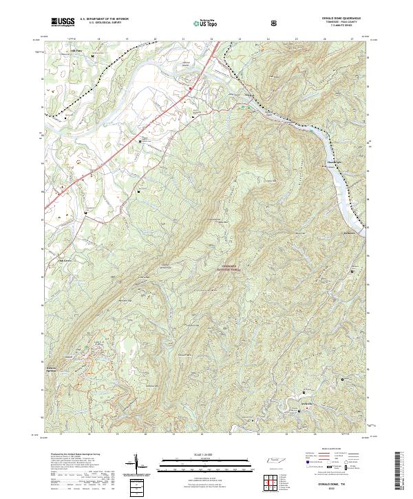 2022 Oswald Dome2022 Print · USGSThe foothills of the Cherokee National Forest come alive in this contemporary view of eastern Tennessee’s mountain communities. Genealogists can trace family roots at Antioch Baptist Church Cem, Dunn Cem, and the riverfront settlement of Reliance.
End of results
Showing maps 1-20 of 20
Top cities near Hambright
- Athens historical maps
- Etowah historical maps
- Englewood historical maps
- McCaysville historical maps
- Benton historical maps
- Tellico Plains historical maps
See more
Frequently asked questions
- What are the different types of historical maps available for Hambright?
- What is the oldest map of Hambright?
- Where can I purchase historical maps of Hambright for my home or office?
- Where can I download high-res historical maps of Hambright?
- Are there historical topographic maps available for Hambright?
- Is there historical aerial imagery available for Hambright?
- Where are historical maps of Hambright sourced from?