Old Maps of Fosterville, Tennessee for Metal Detecting
Plan your next treasure hunt with 11 historic maps of Fosterville. Find old homesites, ghost towns, trails, and gathering spots that may be lost to time — perfect for identifying promising metal detecting locations.
- Locate forgotten sites: Uncover places like long-lost settlements, abandoned rail lines, or gathering spots.
- Plan better hunts: Use map overlays combined with LiDAR or satellite views to narrow in on historically rich areas.
- Made for detectorists: Thousands of hobbyists use these maps to discover relics, coins, and hidden history.
Use these historic maps to boost your research and find new opportunities beneath the surface of Fosterville.
Fosterville, TN maps
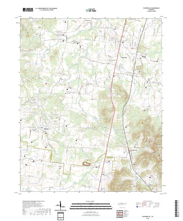
(11)- 1936 Map of Fosterville
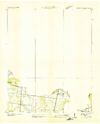 1936 Fosterville1936 Print · USGSThe Rutherford and Bedford county line comes into focus in the mid-1930s as the Tennessee Valley Authority mapped the region's watersheds. Researchers can locate family landmarks such as Woodfin Cem or trace the early paths of U S Highway No 241 and the N C & St L railroad.
 - 1944 Map of Shelbyville
 1944 Shelbyville1944 Print · USGSMid-century Middle Tennessee is captured here during the wartime mobilization of the 1940s. Genealogists and researchers can trace family lands near Bugscuffle, Shelbyville Mills, and the expansive Camp Forrest Military Res.
 - 1949 Map of Fosterville, 1980 Print
 1949 Fosterville1980 Print · USGSRutherford and Bedford Counties are captured in the late 1940s just as infrastructure was modernizing along the Tennessee Valley Divide. Researchers can trace family roots through numerous landmarks like Guy Gap Sch, Alexander Cem, and Brandon Chapel.2 unique versions available
 - 1951 Map of Fosterville
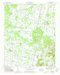
 1951 Fosterville1951 Print · USGSIn the early 1950s, this portion of Middle Tennessee remained a landscape of rural schoolhouses and family cemeteries along the railroad. Genealogists and local historians can trace the foundations of Christiana and Fosterville or locate family sites like Alexander Cem and Blankenship Ch.2 unique versions available
 - 1956 Map of Columbia, 1960 Print
 1956 Columbia1960 Print · USGSMiddle Tennessee in the mid-fifties presents a landscape of established river towns and critical rail hubs before the arrival of the modern interstate system. Researchers can trace the routes of the Louisville and Nashville railroad or locate historic landmarks like Stones River National Military Park and the Tennessee National Wildlife Refuge.6 unique versions available
 - 1985 Map of Murfreesboro, 1986 Print
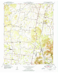
 1985 Murfreesboro1986 Print · USGSMiddle Tennessee in the mid-1980s shows a landscape of growing towns and deep-rooted rural outposts. Local researchers can trace old family lines near Bell Buckle, locate landmarks like Donnel Chapel, or explore the grounds of Henry Horton State Park and Hoovers Gap.
 - 2010 Map of Fosterville, 2010 Print
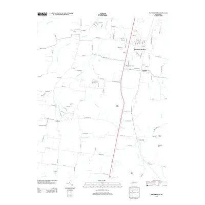
 2010 Fosterville2010 Print · USGSCovers Fosterville, including Midland, R T Estates, and other nearby areas
 - 2013 Map of Fosterville, 2013 Print
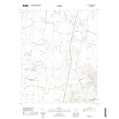
 2013 Fosterville2013 Print · USGSCovers Fosterville, including Midland, R T Estates, and other nearby areas
 - 2016 Map of Fosterville, 2016 Print
 2016 Fosterville2016 Print · USGSCovers Fosterville, including Midland, R T Estates, and other nearby areas
 - 2019 Map of Fosterville, 2019 Print
 2019 Fosterville2019 Print · USGSCovers Fosterville, including Midland, R T Estates, and other nearby areas
 - 2022 Map of Fosterville, 2022 Print
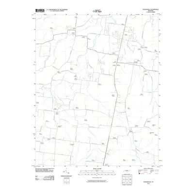
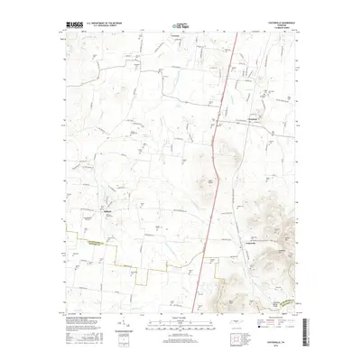
 2022 Fosterville2022 Print · USGSRutherford and Bedford counties are shown here in the early twenty-first century as the landscape rises toward the Tennessee Valley Divide. Genealogists can trace family heritage through dozens of burial sites like Isaac Miller Cem and Kimbro Cem near Fosterville.
End of results
Showing maps 1-11 of 11
Top cities near Fosterville
- Murfreesboro historical maps
- Shelbyville historical maps
- Eagleville historical maps
- Wartrace historical maps
- Bell Buckle historical maps
- Normandy historical maps
Frequently asked questions
- What are the different types of historical maps available for Fosterville?
- What is the oldest map of Fosterville?
- Where can I purchase historical maps of Fosterville for my home or office?
- Where can I download high-res historical maps of Fosterville?
- Are there historical topographic maps available for Fosterville?
- Is there historical aerial imagery available for Fosterville?
- Where are historical maps of Fosterville sourced from?