Old Maps of New Middleton, Tennessee for Academic Research
Study the evolution of New Middleton with 11 high-resolution historic maps. Whether you're teaching, researching, or modeling changes in land use, these maps provide essential visual documentation of urban, environmental, and geographic change.
- Analyze long-term change: Track patterns in development, transportation, and natural features.
- Ideal for environmental or urban studies: Support academic projects with primary historical map data.
- Use in the classroom or lab: Educators and researchers rely on these maps to bring historical context to life.
These maps are a powerful tool for teaching, research, and visualizing how New Middleton has changed over the decades.
New Middleton, TN maps
(11)- 1942 Map of Statesville
 1942 Statesville1942 Print · USGSMid-century Tennessee comes alive in this survey of the river valleys and rail lines east of Nashville. Researchers can trace the path of the Tennessee Central Railway and locate historic points like Denny Seminary and Tuckers Crossroads.
 - 1956 Map of Nashville, 1971 Print
 1956 Nashville1971 Print · USGSThe Tennessee-Kentucky borderlands come into focus in the mid-1960s as major reservoir projects transformed the Cumberland and Tennessee river valleys. Researchers can trace the rail networks of the Louisville and Nashville and visit sites like Fort Campbell and Fort Donelson National Military Park.2 unique versions available
 - 1958 Map of New Middleton
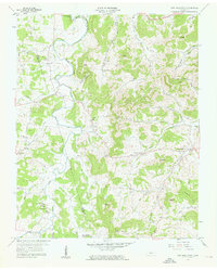 1958 New Middleton1958 Print · USGSSmith and Wilson counties in the late fifties show a landscape of steep knobs and winding creek bottoms. Genealogists and historians can trace family locations through numerous sites like Bethlehem Cem, the Tennessee Central rail line, and New Middleton.4 unique versions available
 - 1959 Map of Nashville
 1959 Nashville1959 Print · USGSMiddle Tennessee and Southern Kentucky come into focus during the late fifties, showing the region's transition into a modern transportation and military hub. Researchers can trace the sprawling Fort Campbell Military Reservation or locate historic rail stops along the Tennessee Central Ry and Illinois Central RR.
 - 1984 Map of Nashville, 1985 Print
 1984 Nashville1985 Print · USGSMiddle Tennessee in the mid-1980s reveals a region balancing urban expansion with its deep river-valley roots. Genealogists and historians can trace family locations near Old Hickory Lake, explore the grounds of Vanderbilt University, or locate ancestral sites like Greenwood Cem.
 - 1994 Map of New Middleton, 1997 Print
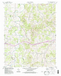 1994 New Middleton1997 Print · USGSThe Tennessee interior during the mid-1990s reveals a quiet landscape of agricultural valleys and family-named knobs along the Wilson Co Smith Co line. Local history enthusiasts can trace the rural communities of New Middleton and Grant alongside landmarks like Rawls Creek Ch and Bethlehem Cem.
 - 2010 Map of New Middleton, 2010 Print
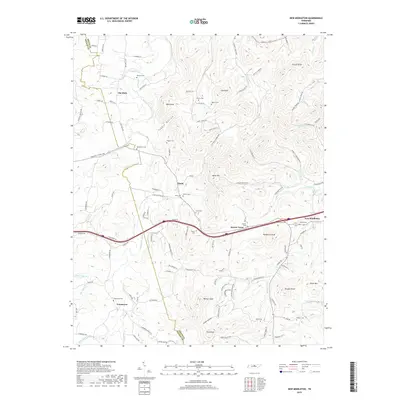
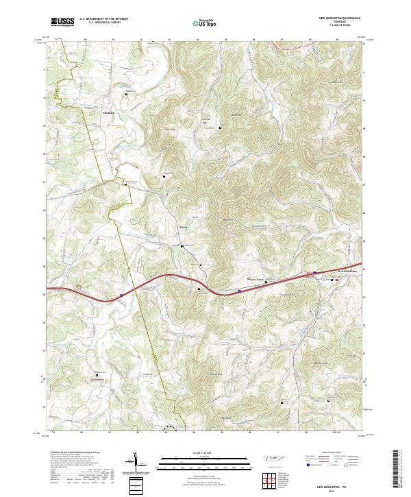
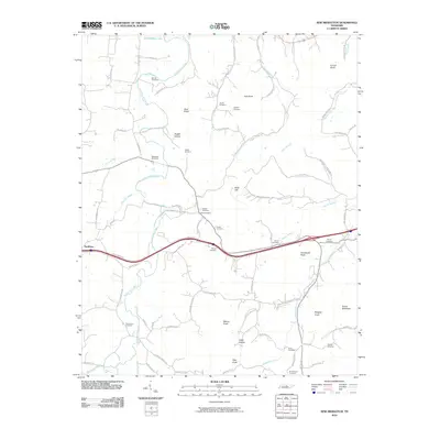 2010 New Middleton2010 Print · USGSCovers New Middleton, including Shaver Town, Flat Rock, and other nearby areas
 - 2013 Map of New Middleton, 2013 Print
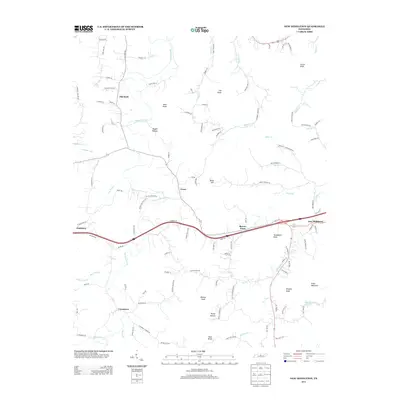 2013 New Middleton2013 Print · USGSCovers New Middleton, including Shaver Town, Flat Rock, and other nearby areas
 - 2016 Map of New Middleton, 2016 Print
 2016 New Middleton2016 Print · USGSCovers New Middleton, including Shaver Town, Flat Rock, and other nearby areas
 - 2019 Map of New Middleton, 2019 Print
 2019 New Middleton2019 Print · USGSCovers New Middleton, including Shaver Town, Flat Rock, and other nearby areas
 - 2022 Map of New Middleton, 2022 Print
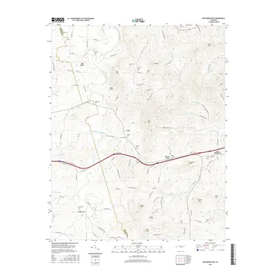
 2022 New Middleton2022 Print · USGSSmith County hill country is captured here during the early twenty-first century, showing the enduring rural layout of Tennessee's Central Basin. Researchers can trace ancestral locations through numerous family burial sites like Barnett Cem and Phillips Cem or explore established hamlets like Grant and Commerce.
End of results
Showing maps 1-11 of 11
Top cities near New Middleton
- Smithville historical maps
- Carthage historical maps
- Watertown historical maps
- South Carthage historical maps
- Gordonsville historical maps
- Alexandria historical maps
See more
Frequently asked questions
- What are the different types of historical maps available for New Middleton?
- What is the oldest map of New Middleton?
- Where can I purchase historical maps of New Middleton for my home or office?
- Where can I download high-res historical maps of New Middleton?
- Are there historical topographic maps available for New Middleton?
- Is there historical aerial imagery available for New Middleton?
- Where are historical maps of New Middleton sourced from?