2020s Maps of Angelina County, Texas
Explore 27 historic maps of Angelina County from the 2020s. These maps offer a rare glimpse into what life looked like during the 2020s — showing old roads, neighborhoods, homes, and landmarks that have changed or disappeared over time.
Whether you're researching your family's past, planning a metal detecting trip, or studying how Angelina County's landscape evolved across the 2020s, these high-resolution maps are a powerful tool for exploring the history of this region.
- Focus on a specific era: All maps on this page are from the 2020s, giving you a focused view of this time period.
- See what’s changed: Compare century-old streets, trails, and buildings to today's modern landscape using overlays and satellite layers.
- Research with precision: Use these maps for genealogy, historical research, land use analysis, or educational projects.
- View, download, or print: Maps are fully viewable online in high resolution, and can be downloaded or printed for your own records.
Start exploring Angelina County's history through authentic maps from the 2020s. This is your window into the past.
Angelina County, TX maps
(27)- 2022 Map of Bald Hill, 2022 Print
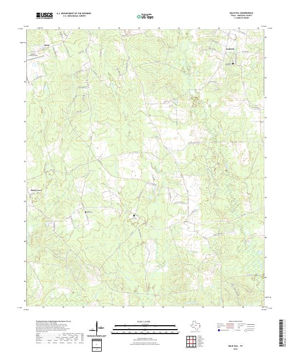 2022 Bald Hill2022 Print · USGSIn the Piney Woods of east Texas during the early 2020s, rural life centers on the crossroads near Burke and Bald Hill. Genealogists can trace local roots at Gilbert Chapel Cem and Pine Grove Cem or follow the banks of Biloxi Cr.
 - 2022 Map of Apple Springs, 2022 Print
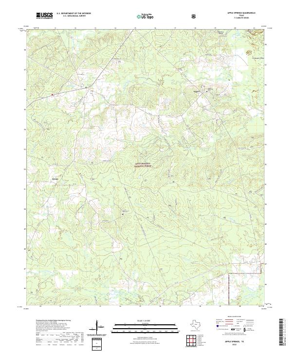 2022 Apple Springs2022 Print · USGSTrinity County's timberlands and rural communities are preserved in this recent survey of the East Texas Piney Woods. Researchers can trace family roots through landmarks like Mount Zion Cem, the settlement of Nigton, and roads such as Delbert Greer Rd.
 - 2022 Map of Huntington, 2022 Print
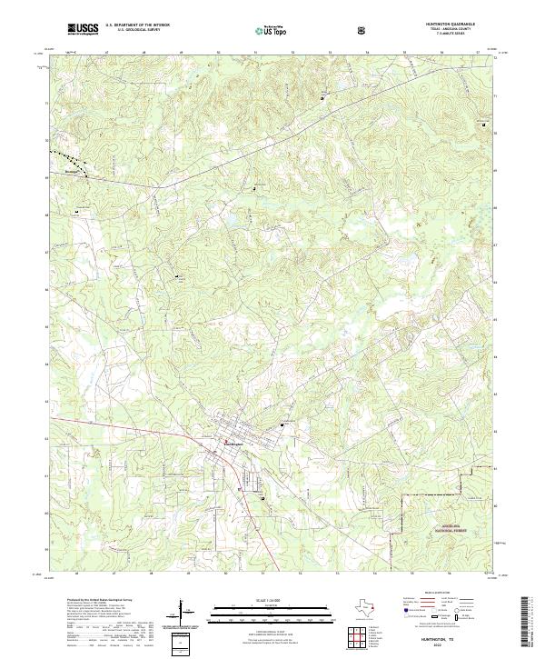 2022 Huntington2022 Print · USGSAngelina County at the start of the 2020s shows the town of Huntington as a thriving hub for the surrounding piney woods. Researchers can trace local lineage through the Huntington Cemetery or map the rail corridor of the Southern Pacific Railroad as it passes near Manning.
 - 2022 Map of Rockland, 2022 Print
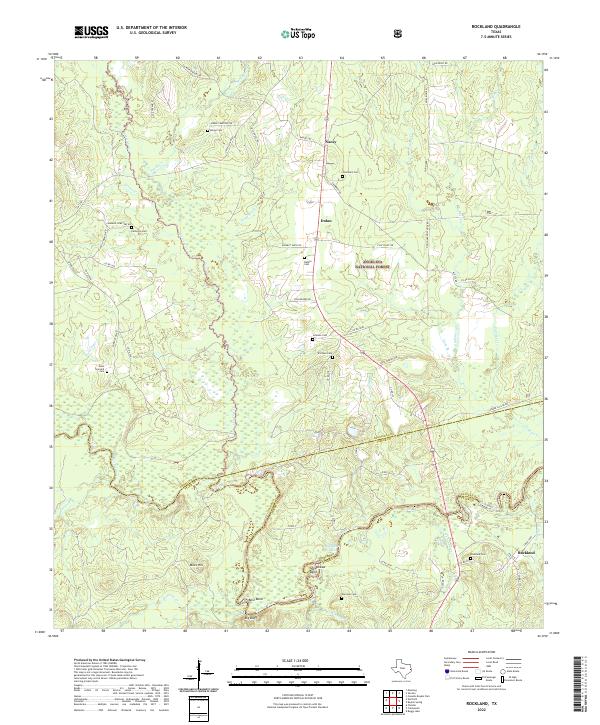 2022 Rockland2022 Print · USGSAngelina and Tyler counties are captured here at the Neches River crossing near the turn of the twenty-first century. Genealogists can trace family roots at Rockland Cem, Sturrock Cem, and the riverfront community of Best Bend.
 - 2022 Map of Clawson, 2022 Print
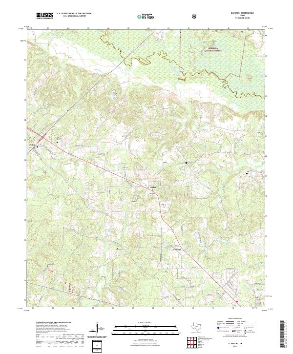 2022 Clawson2022 Print · USGSDeep in East Texas during the early twenty-first century, the forest and river define the rural landscape. Genealogists can trace family landmarks at Gann Cem, Poskey Cem, or the small settlements of Pollok and Clawson.
 - 2022 Map of Manning, 2022 Print
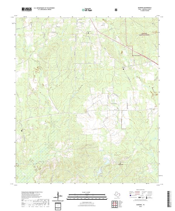 2022 Manning2022 Print · USGSAngelina County’s timber heritage and rural settlements are preserved here in the early twenty-first century. Genealogists and local historians can trace old family sites and cemeteries like Manning Cem, Renfro Cem, and the industry-linked Manning Mill Ponds.
 - 2022 Map of Wolf Hill, 2022 Print
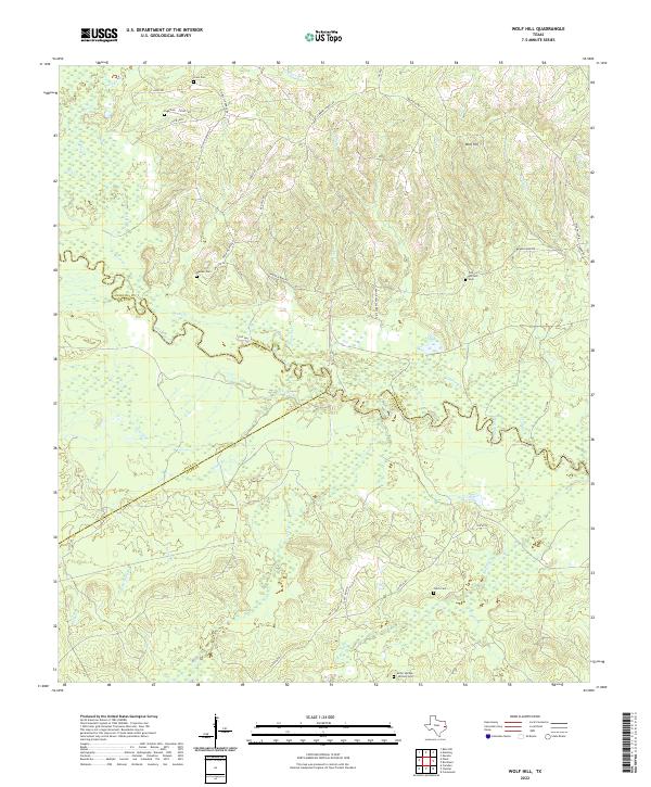 2022 Wolf Hill2022 Print · USGSThe Neches River valley at the junction of Angelina, Polk, and Tyler counties is shown here in the early twenty-first century. Genealogists can locate family burial sites across the river bottomlands, including Sulfur Springs Willson Cemetery, Weaver Cemetery, and Crain Cemetery.
 - 2022 Map of Wakefield, 2022 Print
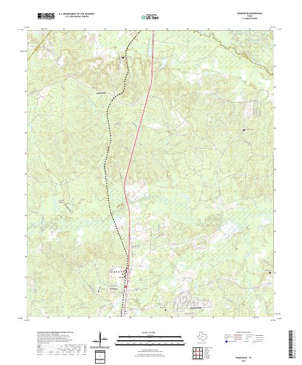 2022 Wakefield2022 Print · USGSThe Piney Woods of Polk County are documented here in the early 2020s, showing the intersection of river bottomlands and rural settlements. Researchers can locate family landmarks like Wheeler Cem, trace the Dollorhide Cutoff near the Neches River, or study the layout of Corrigan and Wakefield.
 - 2022 Map of Durst Lakes, 2022 Print
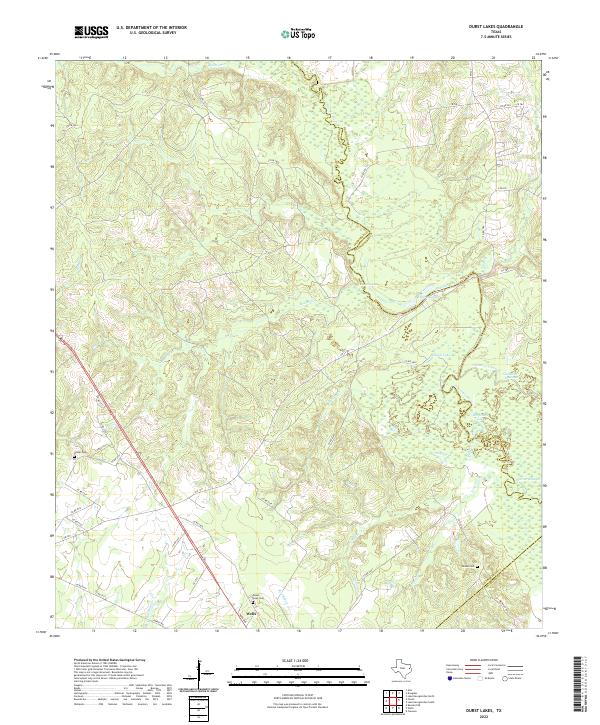 2022 Durst Lakes2022 Print · USGSThe Angelina River bottomlands come to life in this modern survey of the tri-county border area. Researchers can trace historic family burial sites at Mount Hope Cem and Hester Cem or explore the shifting waters of Durst Lakes.
 - 2022 Map of Pluck, 2022 Print
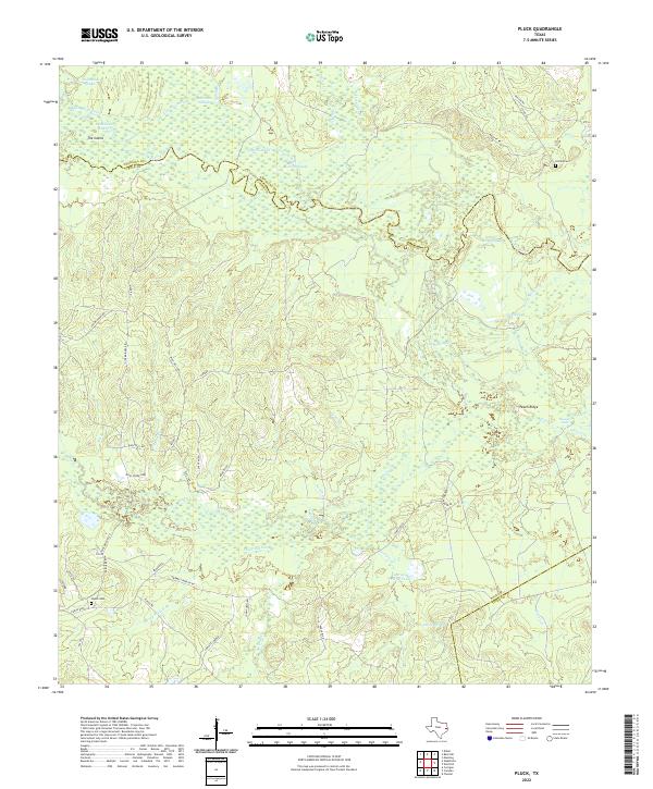 2022 Pluck2022 Print · USGSThe Neches River bottomlands of Polk and Angelina Counties are captured here in the early 2020s, showing a landscape of dense sloughs and winding creeks. Local researchers can locate family landmarks like Styker Cem, Conley's Corner, and the waters of Howell Lake.
 - 2022 Map of Wells SW, 2022 Print
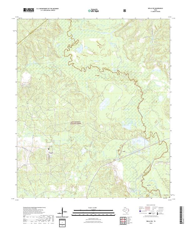 2022 Wells SW2022 Print · USGSDeep in the Piney Woods during the early 2020s, this map captures the winding river boundaries and forest settlements of East Texas. Trace family sites near New Church Cem or explore the river bottomlands of Vair and the Neches River.
 - 2022 Map of Kennard NE, 2022 Print
 2022 Kennard NE2022 Print · USGSHouston and Cherokee Counties meet along the winding Neches River in this modern East Texas forest survey. Genealogists and historians can locate family burial sites like Shooks Bluff Cem and the unique Mexican Prisoners Grave.
 - 2022 Map of Platt, 2022 Print
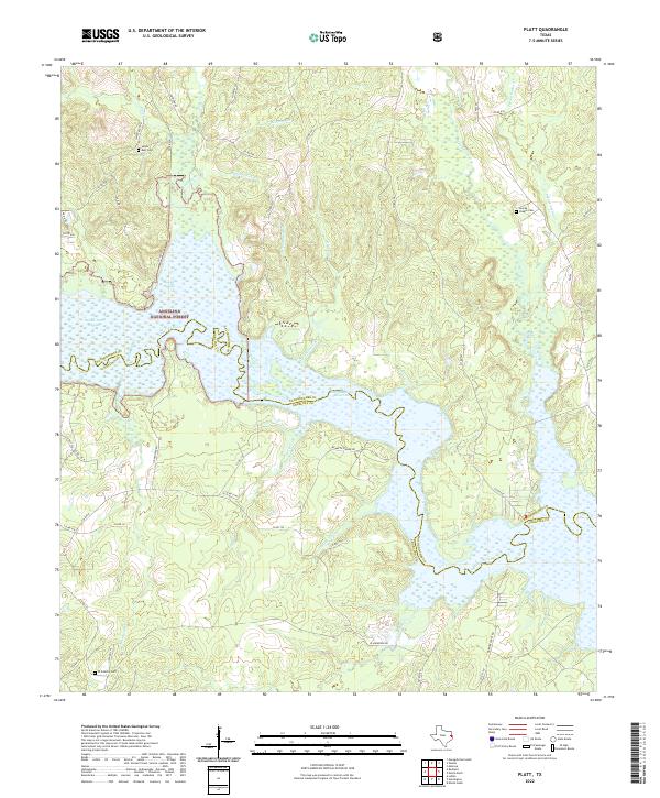 2022 Platt2022 Print · USGSNacogdoches and Angelina counties meet here in the East Texas piney woods, where the river meets the reservoir. Genealogists and local historians can trace rural roots at Saints Rest Cem, Jacobs Chapel Cem, and along the banks of Boggy Slough.
 - 2022 Map of Etoile North, 2022 Print
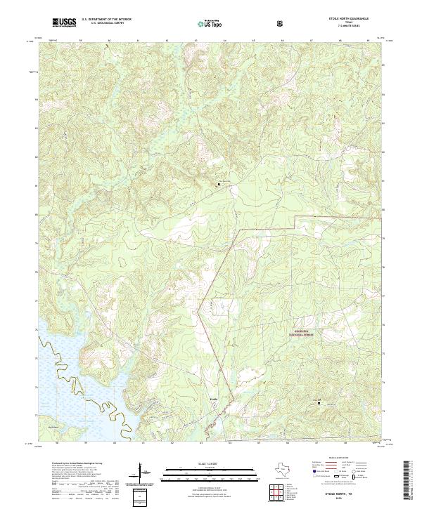 2022 Etoile North2022 Print · USGSThe northern edge of the Angelina National Forest meets the waters of the Sam Rayburn Reservoir in this contemporary survey of eastern Texas. Genealogists and local historians can locate Pine Knot Cem, Miley Cem, and the old site of Sutton Mill near Etoile.
 - 2022 Map of Boykin Spring, 2022 Print
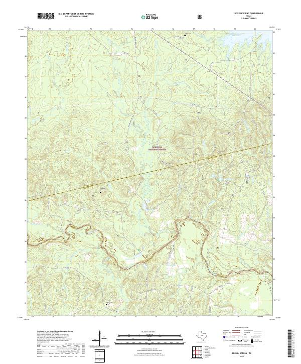 2022 Boykin Spring2022 Print · USGSThe East Texas timberlands come to life in this survey of the Angelina National Forest and the Neches River basin. Trace family history and rural landmarks at Rockwell Union Cemetery, Boykin Cemetery, and the secluded Blue Hole.
 - 2022 Map of Ebenezer, 2022 Print
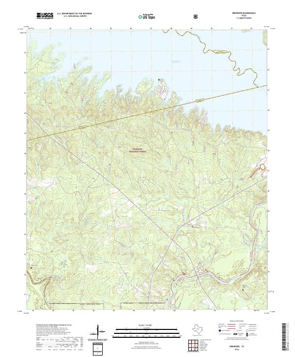 2022 Ebenezer2022 Print · USGSJasper County, Texas, is captured here within the Angelina National Forest as it meets the shores of the Sam Rayburn Reservoir. Researchers can trace the quiet history of the Pineywoods through Old Zavala Cem, Speir Cem, and the winding Angelina River.
 - 2022 Map of Broaddus, 2022 Print
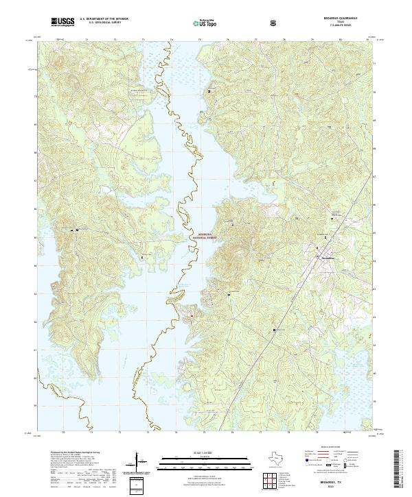 2022 Broaddus2022 Print · USGSThe deep woods of East Texas meet the rising waters of the reservoir in this recent survey of the San Augustine and Nacogdoches border. Trace local family roots at John Sowell Cem or Broaddus Cem and explore the winding paths of the Attoyac River.
 - 2022 Map of Veach, 2022 Print
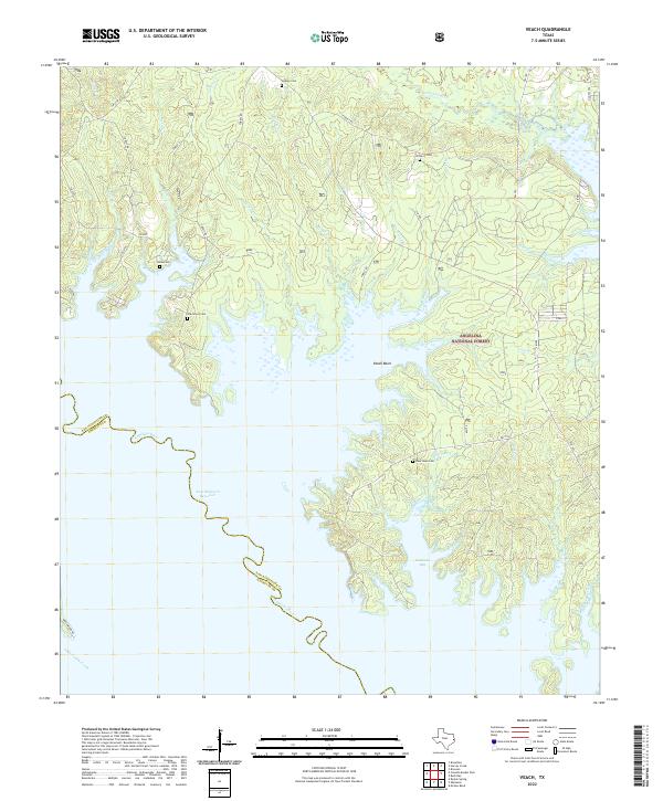 2022 Veach2022 Print · USGSThe northern reaches of the Sam Rayburn Reservoir meet the deep woods of the Angelina National Forest in this contemporary look at San Augustine County. Local historians and genealogists can trace the rural landscape through family landmarks like Oak Grove Cem and the waters of Veach Basin.
 - 2022 Map of Lake Nacogdoches South, 2022 Print
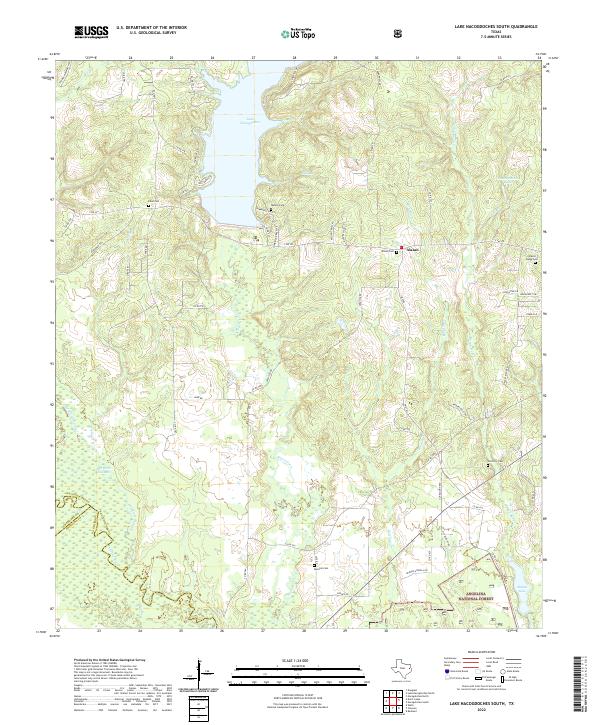 2022 Lake Nacogdoches South2022 Print · USGSThe southern shores of Lake Nacogdoches and the northern fringes of the Angelina National Forest are documented in this recent survey. Local researchers can identify family burial sites like Alazan Cem and Bonaldo Cem alongside the winding course of Bayou Loco.
 - 2022 Map of Lufkin, 2022 Print
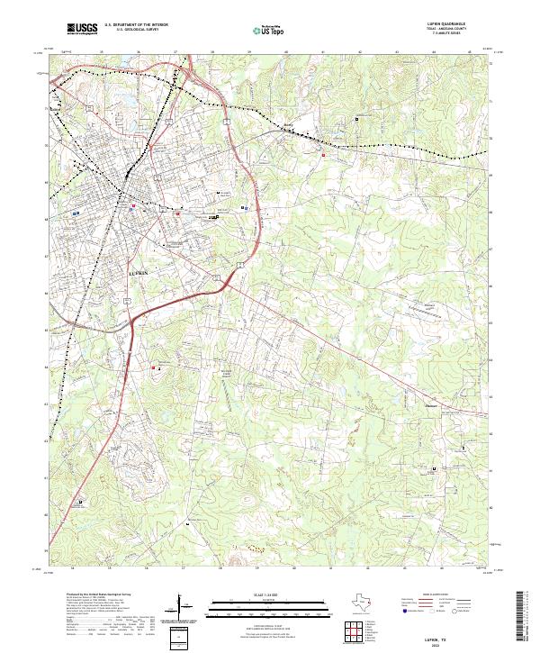 2022 Lufkin2022 Print · USGSLufkin and its surrounding East Texas communities are captured here in the early 2020s, showing a landscape defined by collegiate growth and civic history. Trace family roots at Garden of Memories Cem or Homer Cem, and locate landmarks like the Angelina County Courthouse.
 - 2022 Map of Redland, 2022 Print
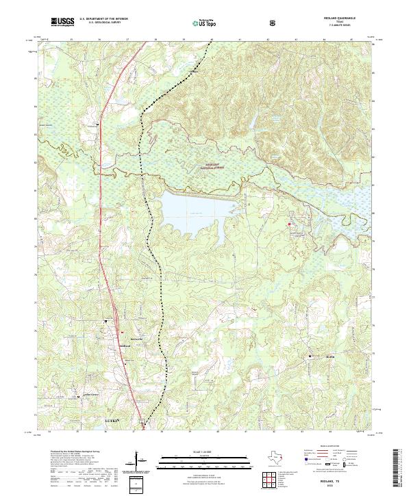 2022 Redland2022 Print · USGSThe Angelina River basin north of Lufkin shows a landscape of dense national forest and vital water resources in the early 2020s. Genealogists and historians can locate family burial sites like Walker Cem and trace the proximity of Redland to Lake Kurth.
 - 2022 Map of Cassells-Boykin Park, 2022 Print
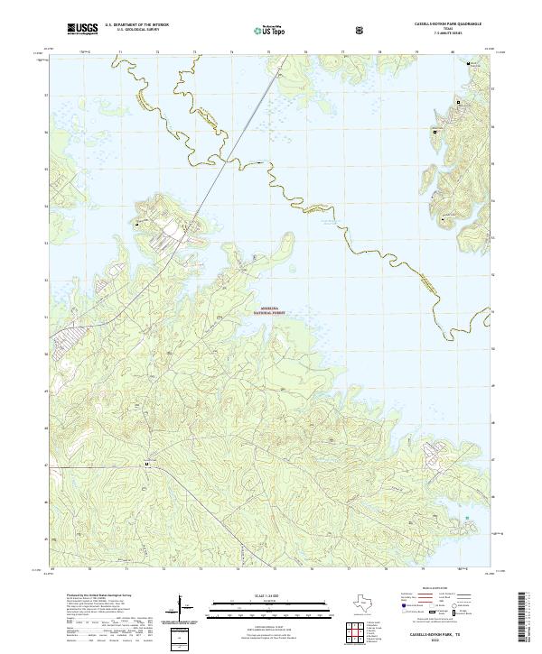 2022 Cassells-Boykin Park2022 Print · USGSDeep in the East Texas piney woods in the 2020s, this area showcases the intersection of the Angelina National Forest and the vast Sam Rayburn Reservoir. Genealogists can locate several family-named burial sites including Wood Snell Cem, Rayburn Cem, and Concord Cem.
 - 2022 Map of Wells, 2022 Print
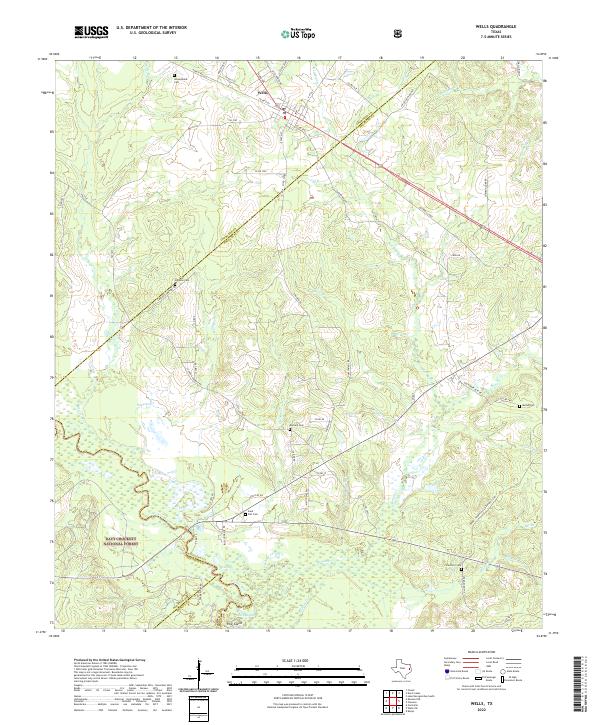 2022 Wells2022 Print · USGSThe community of Wells is captured here at the threshold of the Davy Crockett National Forest. Genealogists can trace family landmarks across the countryside, from Simpson Cem and Durham Cem to the tracks of the A & N RR.
 - 2022 Map of Diboll, 2022 Print
 2022 Diboll2022 Print · USGSAngelina County at the heart of the East Texas timber belt is documented here in the early twenty-first century. Researchers can locate several family and community burial sites, including Old Emporia Cem and McCarty Cem, alongside the oxbows of the Neches River.
 - 2022 Map of Keltys, 2022 Print
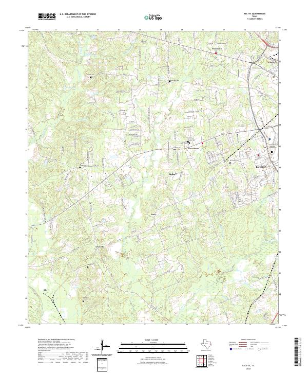 2022 Keltys2022 Print · USGSThe northern outskirts of Lufkin and surrounding rural Angelina County are captured in this modern survey. Genealogists can trace family burial sites at Old Union Cem, Narraway Cem, or the small settlements of Peavy and Keltys.
Showing maps 1-25 of 27
Top cities of Angelina County
- Lufkin historical maps
- Diboll historical maps
- Hudson historical maps
- Huntington historical maps
- Redland historical maps
- Burke historical maps
See more
Frequently asked questions
- What are the different types of historical maps available for Angelina County?
- What is the oldest map of Angelina County?
- Where can I purchase historical maps of Angelina County for my home or office?
- Where can I download high-res historical maps of Angelina County?
- Are there historical topographic maps available for Angelina County?
- Is there historical aerial imagery available for Angelina County?
- Where are historical maps of Angelina County sourced from?