2010s Maps of Angelina County, Texas
Explore 108 historic maps of Angelina County from the 2010s. These maps offer a rare glimpse into what life looked like during the 2010s — showing old roads, neighborhoods, homes, and landmarks that have changed or disappeared over time.
Whether you're researching your family's past, planning a metal detecting trip, or studying how Angelina County's landscape evolved across the 2010s, these high-resolution maps are a powerful tool for exploring the history of this region.
- Focus on a specific era: All maps on this page are from the 2010s, giving you a focused view of this time period.
- See what’s changed: Compare century-old streets, trails, and buildings to today's modern landscape using overlays and satellite layers.
- Research with precision: Use these maps for genealogy, historical research, land use analysis, or educational projects.
- View, download, or print: Maps are fully viewable online in high resolution, and can be downloaded or printed for your own records.
Start exploring Angelina County's history through authentic maps from the 2010s. This is your window into the past.
Angelina County, TX maps
(108)- 2010 Map of Durst Lakes, 2010 Print
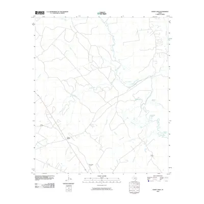 2010 Durst Lakes2010 Print · USGSThe Angelina River basin in Cherokee County is shown here at the start of the decade, revealing a landscape defined by its wetlands and small settlements. Genealogists and historians can trace family locations near Hester Cemetery, Mount Hope Cemetery, and the Cross Roads junction.
 - 2010 Map of Lufkin, 2010 Print
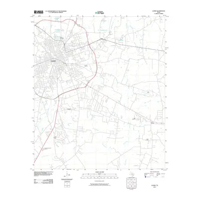 2010 Lufkin2010 Print · USGSLufkin and its surrounding Angelina County communities are documented here as they appeared a decade into the new millennium. Researchers can trace the development of outlying settlements like Herty and Homer or locate family history at Glendale Cemetery and Fielder Cemetery.
 - 2010 Map of Bald Hill, 2010 Print
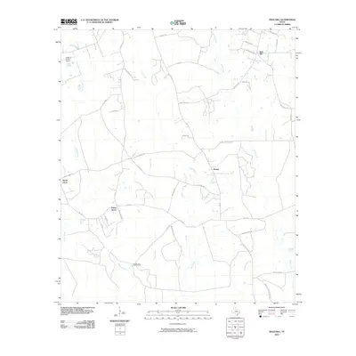 2010 Bald Hill2010 Print · USGSAngelina County's timberlands and rural communities are documented here in the early twenty-first century. Researchers can trace family-named routes and small settlements like Beulah, Bald Hill, and the grounds near Grimes Cemetary Rd.
 - 2010 Map of Wolf Hill, 2010 Print
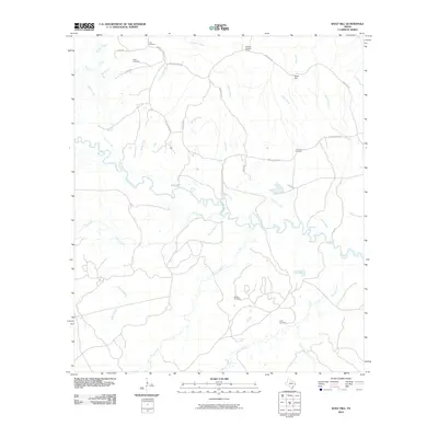 2010 Wolf Hill2010 Print · USGSDeep in the East Texas piney woods during the early 2000s, this area shows a landscape shaped by the Neches River and its many tributaries. Genealogists and local historians can locate several family burial sites, including Havard Cemetery and Futch Cemetery, alongside the prominent Wolf Hill Lookout Tower.
 - 2010 Map of Pluck, 2010 Print
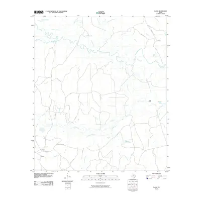 2010 Pluck2010 Print · USGSThe river bottomlands of Polk County are captured here in the early twenty-first century as they surround the settlement of Pluck. Genealogists and local historians can trace family roots through landmarks like Grimes Cemetery, Stryker Cemetery, and Conleys Corner.
 - 2010 Map of Wakefield, 2010 Print
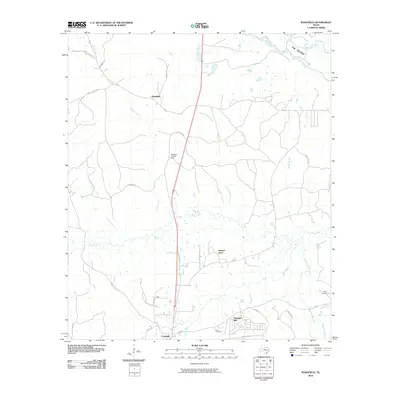 2010 Wakefield2010 Print · USGSWakefield and the Neches River bottomlands are captured here in the early twenty-first century, showing a landscape defined by timber and creek-side settlements. Genealogists and local historians can trace family sites at Knox Cemetery and the outskirts of Skinner Town.
 - 2010 Map of Ebenezer, 2010 Print
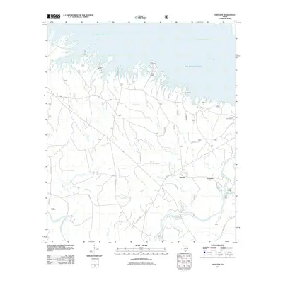 2010 Ebenezer2010 Print · USGSJasper County timberlands and the waters of the Sam Rayburn Reservoir are captured here in the early twenty-first century. Researchers can trace family history at Speir Cemetery or explore established rural communities like Ebenezer and Ferguson.
 - 2010 Map of Manning, 2010 Print
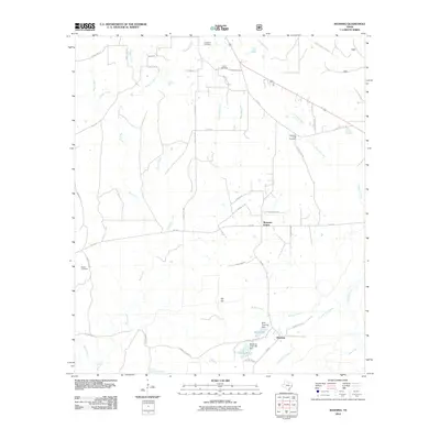 2010 Manning2010 Print · USGSThe rural piney woods of Angelina County are documented here in the early twenty-first century. Researchers can trace family history through sites like Renfro Cemetery or explore the water-driven landscape around Manning and the Millpond.
 - 2010 Map of Apple Springs, 2010 Print
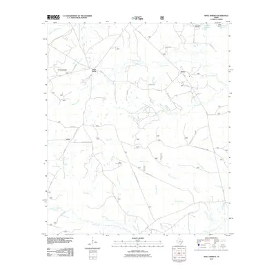 2010 Apple Springs2010 Print · USGSDeep in Trinity County during the early twenty-first century, this area remains a quiet network of forest communities and creek bottoms. Genealogists can trace family connections through sites like Mount Zion Cemetery and landmarks such as Nigton or Helmic.
 - 2010 Map of Broaddus, 2010 Print
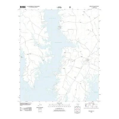 2010 Broaddus2010 Print · USGSThe Angelina River valley in the early twenty-first century is defined by its rural settlements and the sprawling waters of the Sam Rayburn Reservoir. Genealogists can trace family landmarks through several local burial sites, including Smyrna Cemetery, Lee Cemetery, and the Harvey Cemetery.
 - 2010 Map of Lake Nacogdoches South, 2010 Print
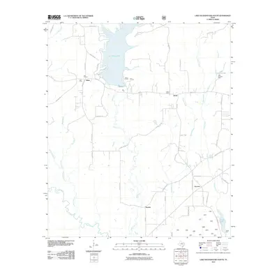 2010 Lake Nacogdoches South2010 Print · USGSNacogdoches County at the end of the first decade of the new millennium reveals a landscape of rural communities and managed waterways. Family history researchers can trace locations like Eden School, Watson Cemetery, and the settlement of Alazan.
 - 2010 Map of Clawson, 2010 Print
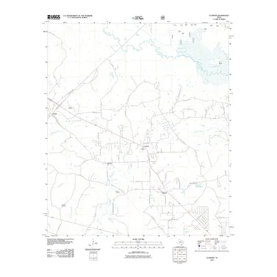 2010 Clawson2010 Print · USGSNorth of Lufkin in the early 2000s, this area of East Texas was defined by its winding creeks and rural settlements. Genealogists and local historians can trace family locations near Pollok Cemetery, Gann Cemetery, and the community of Durant.
 - 2010 Map of Etoile South, 2010 Print
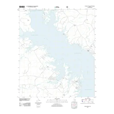 2010 Etoile South2010 Print · USGSThe Angelina River valley is shown here just over forty years after its damming, revealing a landscape of winding shorelines and scattered settlements. Genealogists can locate several local burial sites, such as Baron Cemetery and Patterson Cemetery, alongside landmarks like Etoile Lookout.
 - 2010 Map of Kennard NE, 2010 Print
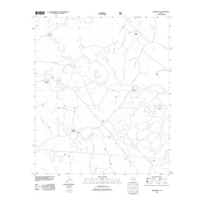 2010 Kennard NE2010 Print · USGSThe rural landscapes of Cherokee County are captured here in the early twenty-first century, centered on the Neches River and its many tributaries. Genealogists can trace family heritage through numerous sites like Sweet Union Cemetery, Pisgah Cemetery, and the McKinney and Wells Family Cemetery.
 - 2010 Map of Cassells-Boykin Park, 2010 Print
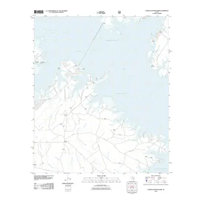 2010 Cassells-Boykin Park2010 Print · USGSAngelina County’s timberlands and reservoir shores are shown here as they appeared in the early 21st century. Researchers can locate family burial sites like Cassels Cemetery and Harvey Cemetery or trace old timber routes along TX Forest Service Road 308.
 - 2010 Map of Redland, 2010 Print
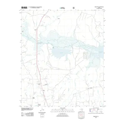 2010 Redland2010 Print · USGSAngelina County at the start of the 2010s reveals a landscape shaped by the river and rural Texas life. Researchers can trace family roots at Walker Cemetery and Berry Cemetery or locate old settlements like Davisville and Climax near the shores of Lake Kurth.
 - 2010 Map of Huntington, 2010 Print
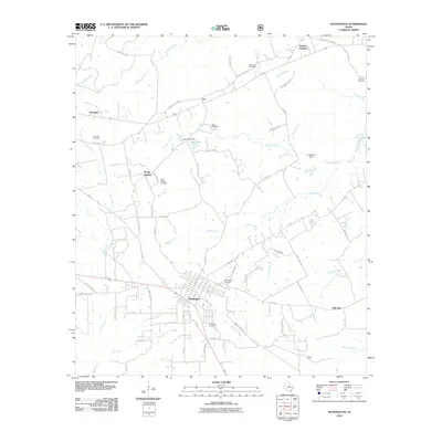 2010 Huntington2010 Print · USGSAngelina County, Texas, is mapped here as it appeared in the early 21st century, centered on the community of Huntington. Genealogists and local historians can trace numerous family burial sites, including Traweek Cemetery, Naren Cemetery, and Jonesville Cemetery.
 - 2010 Map of Platt, 2010 Print
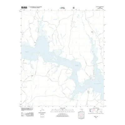 2010 Platt2010 Print · USGSNacogdoches County's riverfront landscape is shown here as the Angelina River meets the Sam Rayburn Reservoir. Researchers can trace rural lineages through the Jacob Chapel Cemetery or locate old community centers at Platt and Poe.
 - 2010 Map of Etoile North, 2010 Print
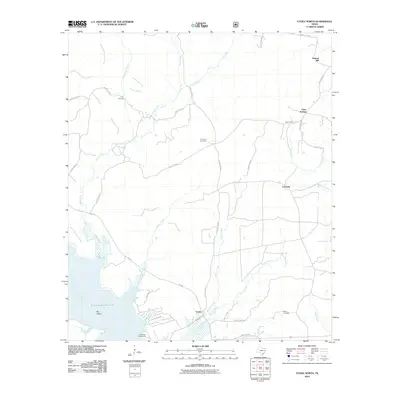 2010 Etoile North2010 Print · USGSThe northern reaches of the Sam Rayburn Reservoir dominate this East Texas landscape in the early 2000s. Genealogists and local historians can trace rural settlements like Oil Springs and La Cerda alongside landmarks such as Pine Knot Cemetery.
 - 2010 Map of Zavalla, 2010 Print
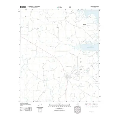 2010 Zavalla2010 Print · USGSZavalla and the western reaches of the Sam Rayburn Reservoir are captured in this recent survey of the Angelina County timberlands. Researchers can locate several family burial grounds, including Townsend Cemetery and Ozias Cemetery, alongside landmarks like Blue Spring.
 - 2010 Map of Boykin Spring, 2010 Print
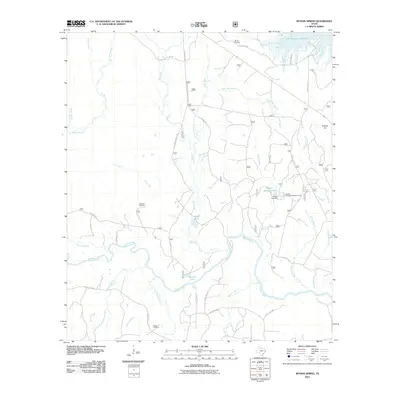 2010 Boykin Spring2010 Print · USGSThe Neches River corridor comes to life in this detailed 2010 survey of the East Texas piney woods. Researchers can trace the geography of local heritage sites like Boykin Cemetery, the Boykin Springs Recreation Area, and the secluded waters of Bouton Lake.
 - 2010 Map of Wells SW, 2010 Print
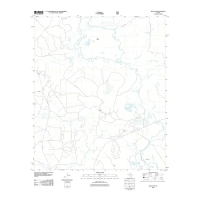 2010 Wells SW2010 Print · USGSTrinity County's river-bottom landscape is captured here in the early twenty-first century, centered on the Neches River and its shifting channels. Researchers can trace rural developments and old connections at Vair, Rayville Siding, and family-named landmarks like Black Cat Lake.
 - 2010 Map of Keltys, 2010 Print
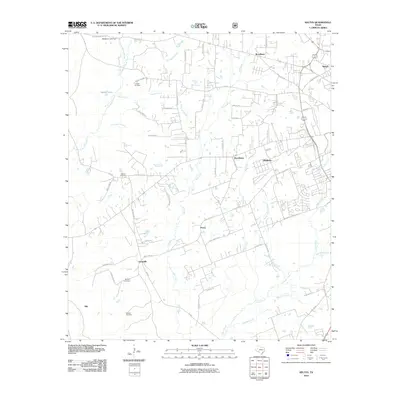 2010 Keltys2010 Print · USGSAngeline County's wooded settlements and rural crossroads are captured here during a period of steady growth. Genealogists can locate family sites like McCarty Cemetery or trace the early paths of Keltys and Blix alongside Cedar Creek.
 - 2010 Map of Diboll, 2010 Print
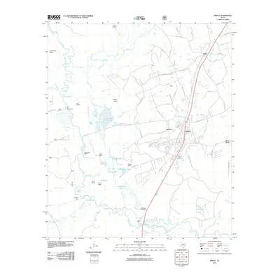 2010 Diboll2010 Print · USGSDiboll and the Neches River bottomlands are captured here in the early twenty-first century as industrial and rural life converge. Researchers can trace local lineage at McCarty Cemetery, locate the site of Clarks Ferry, or explore the hydrology of Fiberboard Lake.
 - 2010 Map of Rockland, 2010 Print
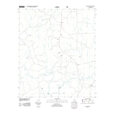 2010 Rockland2010 Print · USGSThe Neches River valley in East Texas was a landscape of small settlements and family plots at the start of the 21st century. Genealogists can trace local history through sites like Weeks Cemetery, Nancy, and the riverfront at Rockland.
Showing maps 1-25 of 108
Top cities of Angelina County
- Lufkin historical maps
- Diboll historical maps
- Hudson historical maps
- Huntington historical maps
- Redland historical maps
- Burke historical maps
See more
Frequently asked questions
- What are the different types of historical maps available for Angelina County?
- What is the oldest map of Angelina County?
- Where can I purchase historical maps of Angelina County for my home or office?
- Where can I download high-res historical maps of Angelina County?
- Are there historical topographic maps available for Angelina County?
- Is there historical aerial imagery available for Angelina County?
- Where are historical maps of Angelina County sourced from?