2000s (21st Century) Maps of Angelina County, Texas
Explore 151 historic maps of Angelina County from the 2000s (21st Century). These maps offer a rare glimpse into what life looked like during the 2000s — showing old roads, neighborhoods, homes, and landmarks that have changed or disappeared over time.
Whether you're researching your family's past, planning a metal detecting trip, or studying how Angelina County's landscape evolved across the 2000s, these high-resolution maps are a powerful tool for exploring the history of this region.
- Focus on a specific era: All maps on this page are from the 2000s, giving you a focused view of this time period.
- See what’s changed: Compare century-old streets, trails, and buildings to today's modern landscape using overlays and satellite layers.
- Research with precision: Use these maps for genealogy, historical research, land use analysis, or educational projects.
- View, download, or print: Maps are fully viewable online in high resolution, and can be downloaded or printed for your own records.
Start exploring Angelina County's history through authentic maps from the 2000s. This is your window into the past.
Angelina County, TX maps
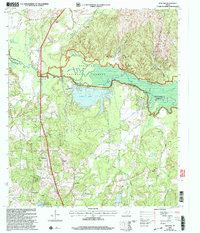
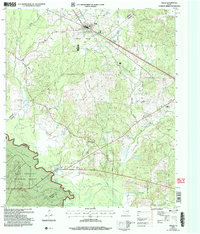
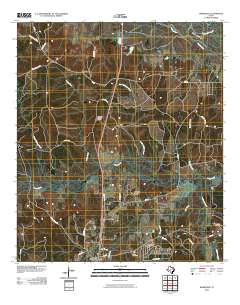
(151)- 2003 Map of Veach, 2004 Print
 2003 Veach2004 Print · USGSSan Augustine and Angelina counties are shown at the turn of the millennium as the reservoir dominates the timberlands. Genealogists can locate family landmarks like New Hope Cem, White City, and Yellow Ridge Ch among the inlets.
 - 2003 Map of Etoile South, 2004 Print
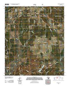
 2003 Etoile South2004 Print · USGSThe Angelina River valley is transformed into a massive waterway in this early 2000s survey of the Piney Woods. Genealogists can locate several family landmarks like Patterson Cem and Shofner Cem near the shores of the Sam Rayburn Reservoir.
 - 2003 Map of Manning, 2004 Print
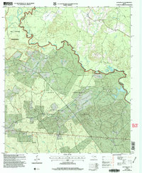
 2003 Manning2004 Print · USGSAngelina County at the start of the 21st century remains a landscape defined by deep pine woods and quiet rural outposts. Researchers can trace family history through several local burial grounds and landmarks, such as Salem Ch Treadwell Cem, Manning, and James Chapel.
 - 2003 Map of Zavalla, 2004 Print
 2003 Zavalla2004 Print · USGSZavalla and the Angelina National Forest are captured here in the early 2000s, where the piney woods meet the Sam Rayburn Reservoir. Genealogists and local historians can locate family burial sites at Townsend Cem and Ozias Cem or trace rural routes like Dead Man Road.
 - 2003 Map of Huntington, 2004 Print
 2003 Huntington2004 Print · USGSAngelina County settlement and forest management intersect in this early 2000s study of the Huntington area. Researchers can trace rural lineage through numerous landmarks like Traweek Cem, Little Hope Ch, and the outlying community of Dunagan.
 - 2003 Map of Cassells-Boykin Park, 2004 Print
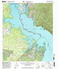
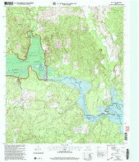
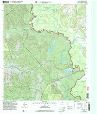
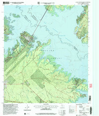 2003 Cassells-Boykin Park2004 Print · USGSAngeline County and the Sam Rayburn Reservoir at the start of the new millennium show a landscape shaped by water and timber. Researchers can trace family sites at Boykin Cem or explore the wooded reaches of Upland Island Wilderness.
 - 2003 Map of Ebenezer, 2004 Print
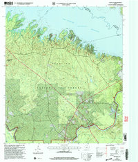 2003 Ebenezer2004 Print · USGSJasper County timberlands and the deep waters of the Angelina River are captured here at the start of the millennium. Researchers can locate family landmarks like Speir Cem and Jordan Cem or trace the early settlement at the Zavala (Historical Site).
 - 2003 Map of Broaddus, 2004 Print
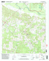
 2003 Broaddus2004 Print · USGSSan Augustine County's timberlands and the expansive Sam Rayburn Reservoir define this East Texas landscape at the start of the millennium. Researchers can trace historic family burial sites like Lowery Cem and Harvey Cem or locate the community center at Broaddus.
 - 2003 Map of Clawson, 2004 Print
 2003 Clawson2004 Print · USGSEast Texas timberlands and rural communities are captured here just after the turn of the millennium. Researchers can locate established family landmarks and rural hubs such as Pollok Cem, the community of Central, and the Angelina River bottoms.
 - 2003 Map of Redland, 2004 Print
 2003 Redland2004 Print · USGSThe East Texas piney woods are captured here in the early 2000s, showing the intersection of heavy industry and national forest land. Genealogists can trace family landmarks like Walker Cem, Davisville Ch, and the site of St James School.
 - 2003 Map of Platt, 2004 Print
 2003 Platt2004 Print · USGSEast Texas timberlands and river bottoms meet the rising waters of the Sam Rayburn Reservoir in the early 2000s. Genealogists and local historians can trace the rural landscape around Platt and locate community landmarks like Saints Rest Ch and Jacob Chapel Ch.
 - 2003 Map of Rockland, 2004 Print
 2003 Rockland2004 Print · USGSDeep in the Piney Woods during the early 2000s, this area traces the historic Neches River corridor. Genealogists can locate family burial grounds like Barge Cem and Kitchen Cem, while historians can find the Site of Fort Teran.
 - 2004 Map of Kennard NE, 2006 Print
 2004 Kennard NE2006 Print · USGSThe Neches River winds through the Davy Crockett National Forest in this early 2000s East Texas survey. Genealogists and local historians can trace rural roots at Mount Vernon Cem, Shooks Bluff, and the Sweet Union Ch.
 - 2004 Map of Wells, 2006 Print
 2004 Wells2006 Print · USGSCherokee and Angelina counties are captured here in the early 2000s, showing the intersection of forest service land and rural life. Researchers can trace family history through local sites like Simpson Cem, the small settlement of Redtown, and the banks of the Neches River.
 - 2004 Map of Wells SW, 2006 Print
 2004 Wells SW2006 Print · USGSThe river bottoms and timberlands of Trinity and Angelina counties are captured here in the early 2000s. Researchers can trace rural landmarks and early transit points like Raville Siding, the New Church Cem, and several riverside camps including the Angelina Club.
 - 2004 Map of Diboll, 2006 Print
 2004 Diboll2006 Print · USGSThe Angelina County timberlands and the Neches River bottomlands are captured here in the early 2000s. Researchers can trace family sites at McCarty Cem, the rail history of the Angelina & Neches River RR, and the riverside site of Clarks Ferry.
 - 2010 Map of Durst Lakes, 2010 Print
 2010 Durst Lakes2010 Print · USGSCovers Angelina County, including Wells, Cross Roads, and other nearby areas
 - 2010 Map of Lufkin, 2010 Print
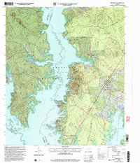
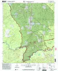
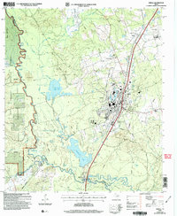
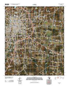 2010 Lufkin2010 Print · USGSCovers Angelina County, including Lufkin, Herty, and other nearby areas
 - 2010 Map of Bald Hill, 2010 Print
 2010 Bald Hill2010 Print · USGSCovers Angelina County, including Burke, Prairie Grove, and other nearby areas
 - 2010 Map of Wolf Hill, 2010 Print
 2010 Wolf Hill2010 Print · USGSCovers Angelina County, including Polk County, Tyler County, and other nearby areas
 - 2010 Map of Pluck, 2010 Print
 2010 Pluck2010 Print · USGSCovers Angelina County, including Pluck, Polk County, and other nearby areas
 - 2010 Map of Wakefield, 2010 Print
 2010 Wakefield2010 Print · USGSCovers Angelina County, including Corrigan, Pleasant Hill, and other nearby areas
 - 2010 Map of Ebenezer, 2010 Print
 2010 Ebenezer2010 Print · USGSCovers Angelina County, including Ferguson, Parker Point, and other nearby areas
 - 2010 Map of Manning, 2010 Print
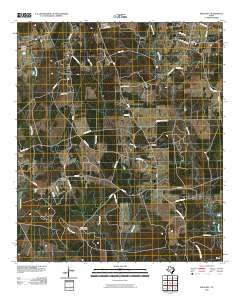
 2010 Manning2010 Print · USGSCovers Angelina County, including Manning, Shawnee Prairie, and other nearby areas
 - 2010 Map of Apple Springs, 2010 Print
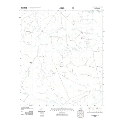 2010 Apple Springs2010 Print · USGSCovers Angelina County, including Helmic, Apple Springs, and other nearby areas
Showing maps 1-25 of 151
Top cities of Angelina County
- Lufkin historical maps
- Diboll historical maps
- Hudson historical maps
- Huntington historical maps
- Redland historical maps
- Burke historical maps
See more
Frequently asked questions
- What are the different types of historical maps available for Angelina County?
- What is the oldest map of Angelina County?
- Where can I purchase historical maps of Angelina County for my home or office?
- Where can I download high-res historical maps of Angelina County?
- Are there historical topographic maps available for Angelina County?
- Is there historical aerial imagery available for Angelina County?
- Where are historical maps of Angelina County sourced from?