2020s Maps of Armstrong County, Texas
Explore 29 historic maps of Armstrong County from the 2020s. These maps offer a rare glimpse into what life looked like during the 2020s — showing old roads, neighborhoods, homes, and landmarks that have changed or disappeared over time.
Whether you're researching your family's past, planning a metal detecting trip, or studying how Armstrong County's landscape evolved across the 2020s, these high-resolution maps are a powerful tool for exploring the history of this region.
- Focus on a specific era: All maps on this page are from the 2020s, giving you a focused view of this time period.
- See what’s changed: Compare century-old streets, trails, and buildings to today's modern landscape using overlays and satellite layers.
- Research with precision: Use these maps for genealogy, historical research, land use analysis, or educational projects.
- View, download, or print: Maps are fully viewable online in high resolution, and can be downloaded or printed for your own records.
Start exploring Armstrong County's history through authentic maps from the 2020s. This is your window into the past.
Armstrong County, TX maps
(29)- 2022 Map of Groom, 2022 Print
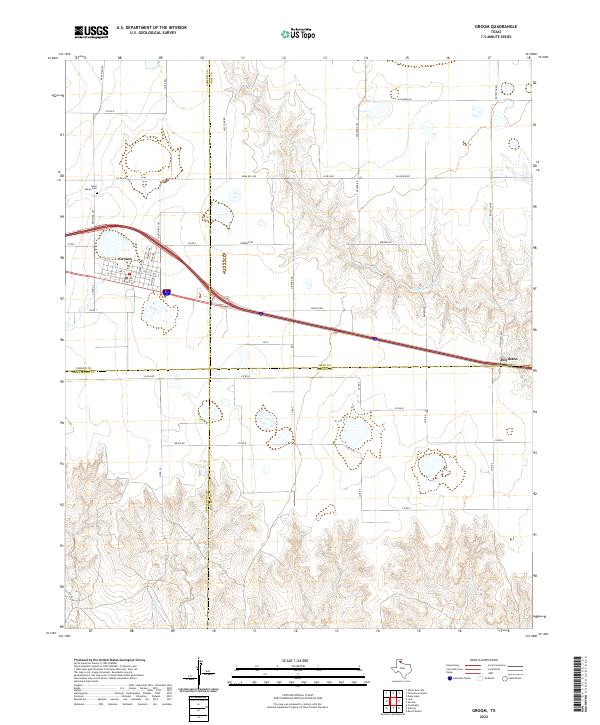 2022 Groom2022 Print · USGSThe Texas Panhandle town of Groom is captured here during a period of modern ranching and transit. Researchers can trace family history at Saint Marys Cem or follow the paths of McClellan Cr and the settlement at Boydston.
 - 2022 Map of Washburn, 2022 Print
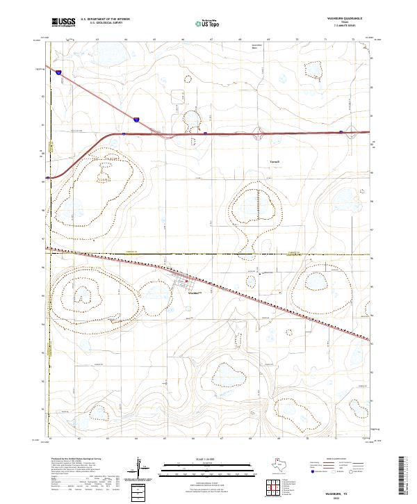 2022 Washburn2022 Print · USGSThe Texas Panhandle comes into focus in this contemporary survey of the High Plains south of Amarillo. Family researchers and historians can trace the streets of Washburn, locate the Washburn Cem, and follow the winding course of Mulberry Cr.
 - 2022 Map of Claude SW, 2022 Print
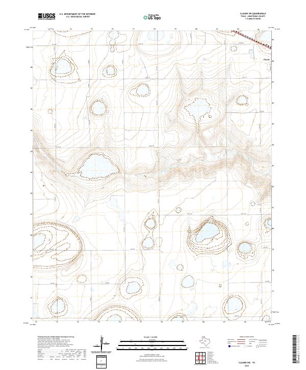 2022 Claude SW2022 Print · USGSArmstrong County ranching country is shown here in the 2020s as the high plains descend toward the Mulberry Cr drainage. Researchers can trace the modern road network around Claude and identify long-standing rural routes like Hotel Rd and Juliet Rd.
 - 2022 Map of Fairview, 2022 Print
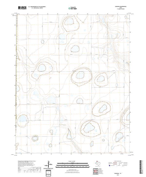 2022 Fairview2022 Print · USGSArmstrong and Randall counties appear here as a highly organized landscape of ranch roads and cattle-country infrastructure. Researchers can trace the systematic road grid through named routes like Hotel Rd and Juliet Rd near the drainage of Rush Creek.
 - 2022 Map of Claude, 2022 Print
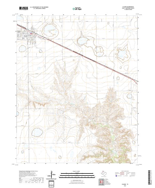 2022 Claude2022 Print · USGSClaude and the high plains of Armstrong County are shown here in the early 2020s, detailing the town street grid and the surrounding ranch land. Local researchers can locate the Armstrong County Courthouse and trace the winding course of Mulberry Cr.
 - 2022 Map of Thomas Ranch, 2022 Print
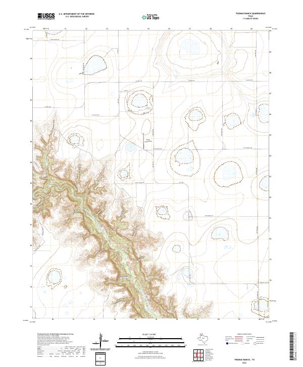 2022 Thomas Ranch2022 Print · USGSRandall County's dramatic canyonlands meet the High Plains in this recent survey of the Texas Panhandle. Local history researchers can trace the rim of Palo Duro Canyon and locate landmarks like Evans Aerodrome and the winding Prairie Dog Town Fork Red River.
 - 2022 Map of Conway, 2022 Print
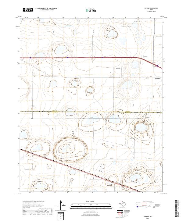 2022 Conway2022 Print · USGSCarson and Armstrong counties appear in the early 2020s, showcasing the high plains settlement at Conway. Researchers can trace local landmarks like Claude Cem, the drainage of McClellan Cr, and the small local landing strip at Eagles Aerodrome.
 - 2022 Map of Goodnight, 2022 Print
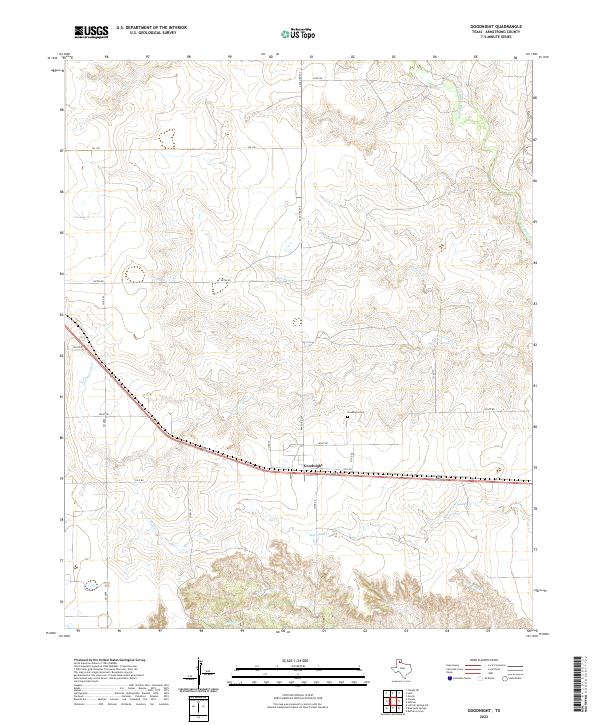 2022 Goodnight2022 Print · USGSThe settlement of Goodnight and its surrounding ranch lands are documented here in the early twenty-first century. Family history researchers can locate the Goodnight Cem and trace the winding paths of Cottonwood Cr and the Salt Fork Red River.
 - 2022 Map of Claude NE, 2022 Print
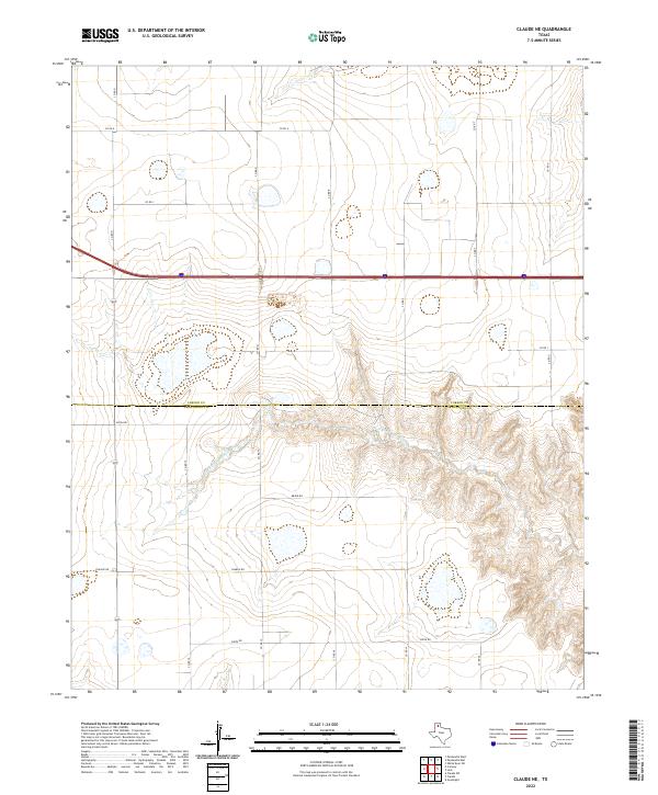 2022 Claude NE2022 Print · USGSThe high plains of the Texas Panhandle met the breaks of the Salt Fork Red River in the early twenty-first century. Researchers can trace the rugged transition from the tableland grid of Bravo Rd and Charlie Rd into the deep drainage systems of the river valley.
 - 2022 Map of Ashtola, 2022 Print
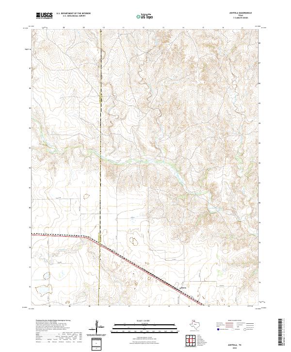 2022 Ashtola2022 Print · USGSDonley County ranching country is documented here in the early twenty-first century, showing the intersection of rural life and the Texas Panhandle landscape. Trace the drainage of the Salt Fork Red River and find local landmarks like Ashtola and Rawhide Creek.
 - 2022 Map of Lark, 2022 Print
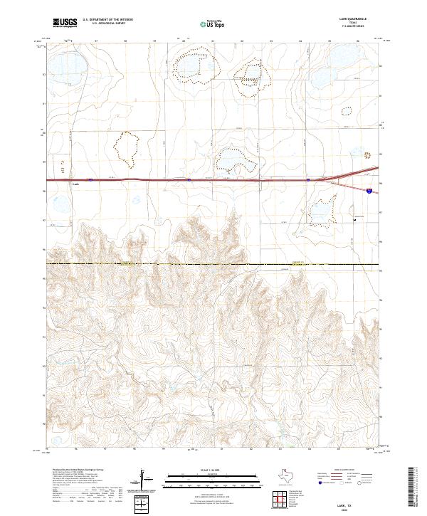 2022 Lark2022 Print · USGSCarson and Armstrong counties meet in this high-plains landscape during the early 2020s, where the tablelands break into the canyons of the Salt Fork Red River. Genealogists and local historians can trace the settlement at Lark or locate the Groom Cem tucked away near the eastern edge of the survey.
 - 2022 Map of Luttrell Springs, 2022 Print
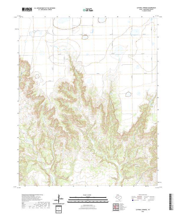 2022 Luttrell Springs2022 Print · USGSArmstrong County ranchlands are captured here in the early twenty-first century, showcasing the dramatic breaks of the Panhandle landscape. Researchers can trace the water sources and winding draws of Horseshoe Canyon, Luttrell Springs, and Dripping Spring.
 - 2022 Map of Gip Creek, 2022 Print
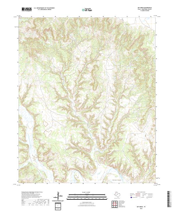 2022 Gip Creek2022 Print · USGSThe deep breaks of the Texas Panhandle are revealed in this modern survey of the Caprock region. You can trace the complex drainage patterns feeding the Prairie Dog Town Fork Red River through Palo Duro Canyon and along Gip Cr.
 - 2022 Map of Wesley Point, 2022 Print
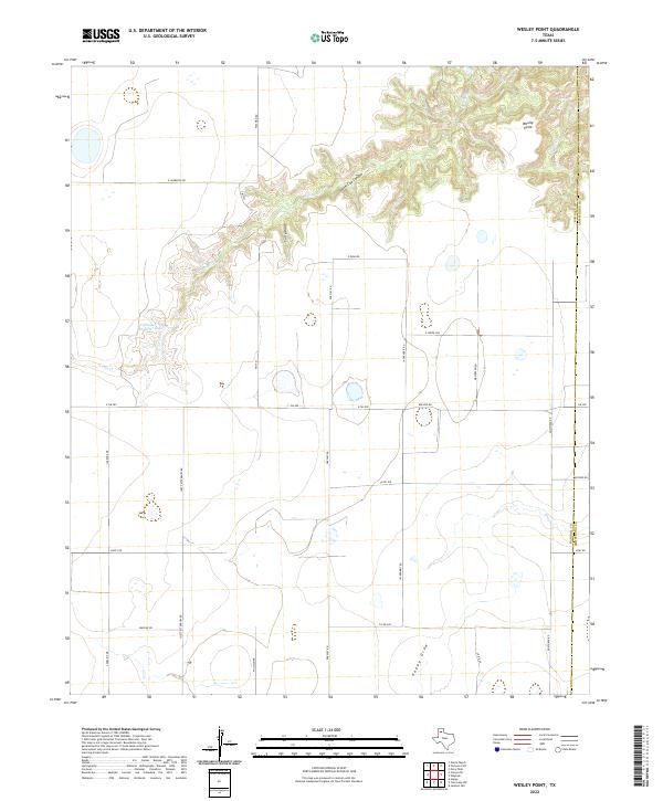 2022 Wesley Point2022 Print · USGSRandall and Armstrong counties in the Texas Panhandle are captured here at the start of the 2020s, showing a landscape defined by dramatic canyon breaks. Researchers can trace the rugged drainages of South Cita Canyon and locate landmarks like Stanley Schaeffer Lake and Wesley Point.
 - 2022 Map of Wayside, 2022 Print
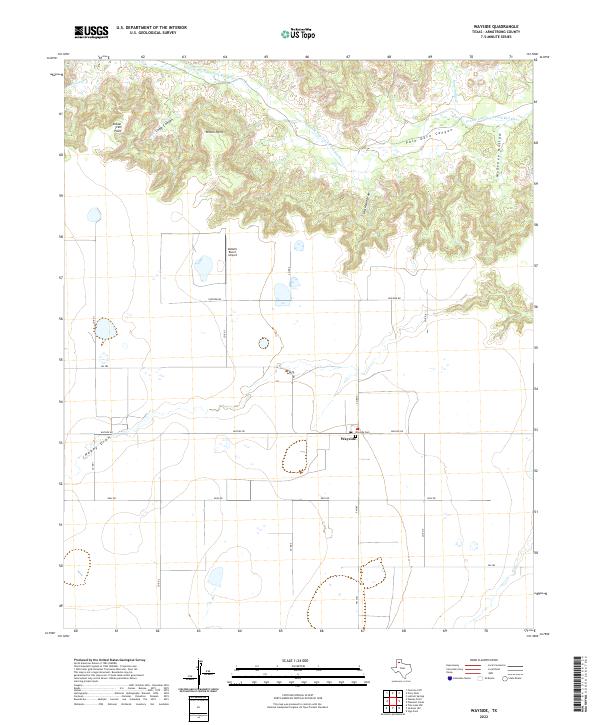 2022 Wayside2022 Print · USGSArmstrong County ranchlands meet the rim of the Panhandle canyons in this contemporary survey of the high plains. Researchers can locate the Wayside community and Wayside Cem alongside the dramatic drainage of Palo Duro Canyon.
 - 2022 Map of Big Betty Reservoir, 2022 Print
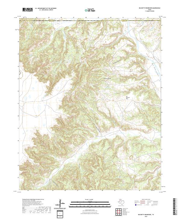 2022 Big Betty Reservoir2022 Print · USGSThe high plains meet the dramatic breaks of the Panhandle in this contemporary survey of the Briscoe County line. Local historians and land researchers can trace the intricate drainages of Palo Duro Canyon and named landmarks like Day Windmill Flats.
 - 2022 Map of Paloduro, 2022 Print
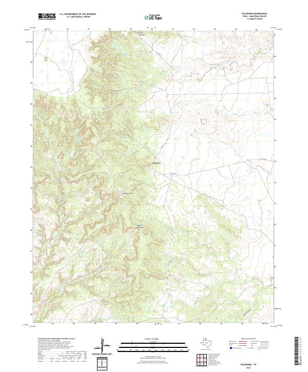 2022 Paloduro2022 Print · USGSArmstrong County ranch land and canyon country are shown here in the 2020s, centered on the small community of Paloduro. Local historians and explorers can trace cattle roads and named landmarks like Mitchell Peak, Wagon Wheel Gap, and Koogle Jump-Off.
 - 2022 Map of Pleasant Creek, 2022 Print
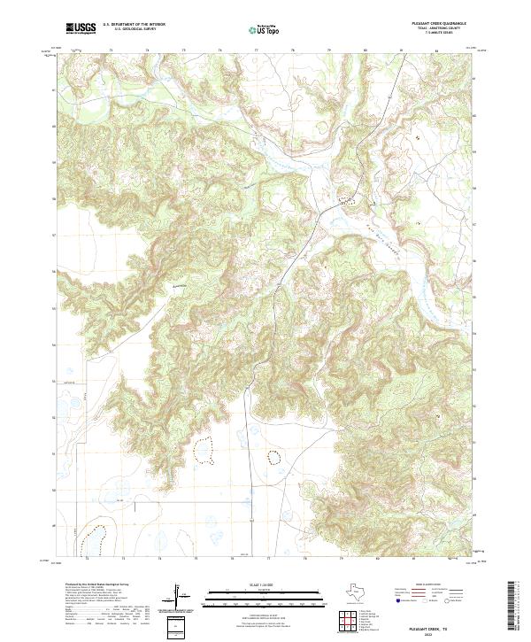 2022 Pleasant Creek2022 Print · USGSArmstrong County ranch lands meet the dramatic breaks of the Panhandle in the early twenty-first century. Researchers can trace the rugged descent into Palo Duro Canyon and locate landmarks like Road Point and the Salt Fork.
 - 2022 Map of Tule Lake NW, 2022 Print
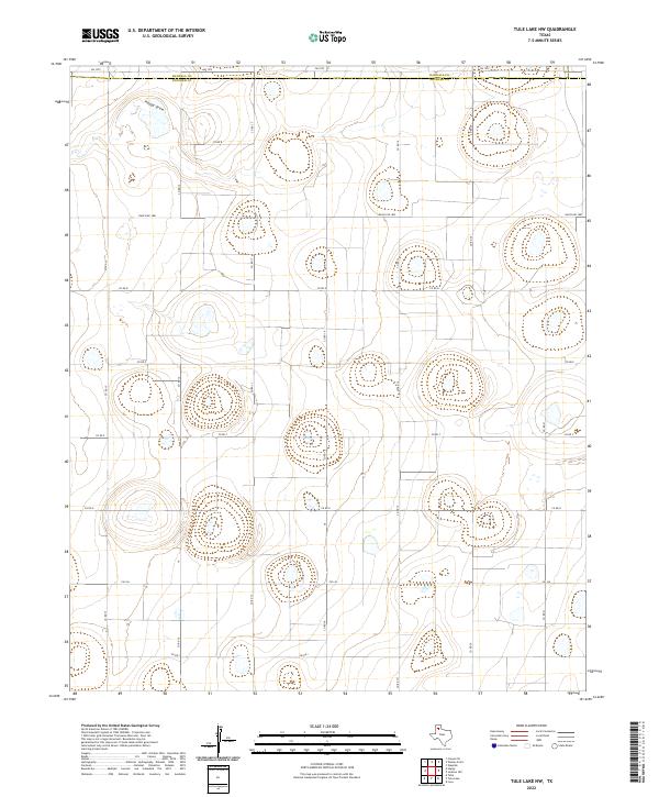 2022 Tule Lake NW2022 Print · USGSThe High Plains along the Randall and Swisher county line are shown here in their modern rural state. Local historians can trace the grid of ranching roads and water features like Happy Draw, FM 1075, and Ranch RD 1881.
 - 2022 Map of Luttrell Springs NE, 2022 Print
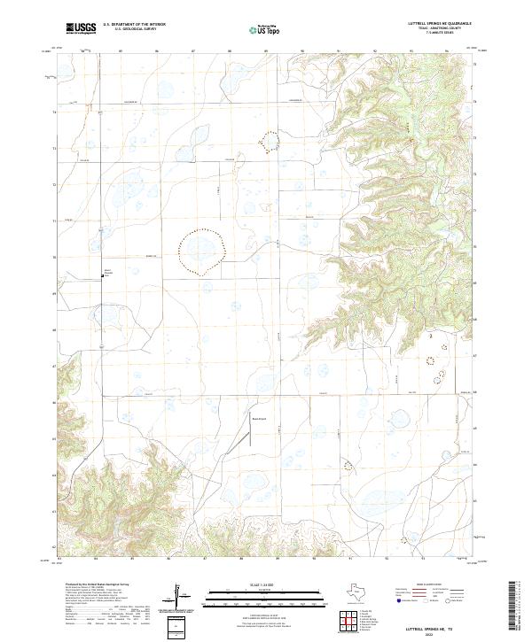 2022 Luttrell Springs NE2022 Print · USGSHigh plains ranching country meets the Caprock breaks in the early 2020s. Researchers can trace land use patterns near Mount Pleasant Cem, locate the remote Reed Airport, and follow the deep canyon drainages of Mulberry Cr.
 - 2022 Map of Blue Hole Springs, 2022 Print
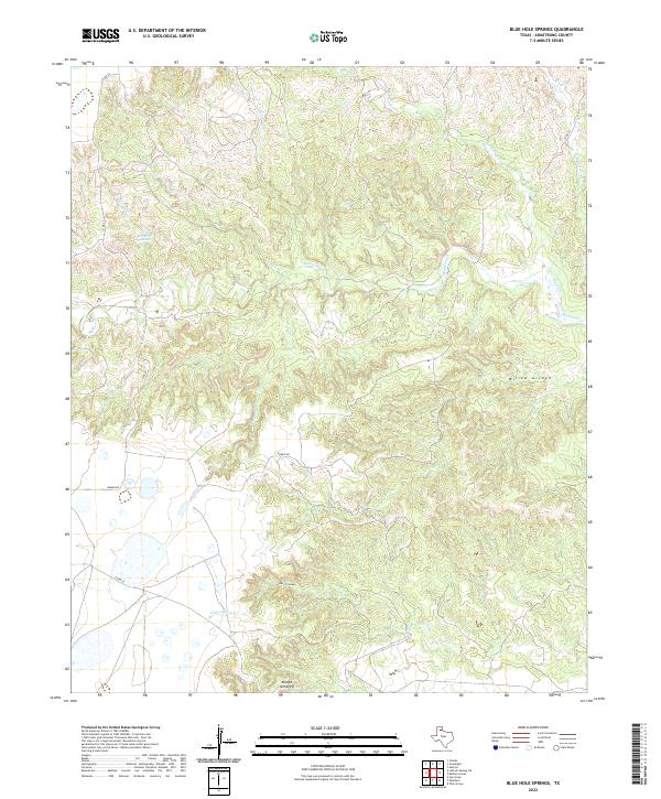 2022 Blue Hole Springs2022 Print · USGSIn the open ranchlands of Armstrong County during the early twenty-first century, the landscape is defined by shifting elevations and vital water sources. Researchers can trace the rugged breaks of Dutch Canyon and find local landmarks like Blue Hole Springs and the Koogle Jump-Off.
 - 2022 Map of Vigo Park, 2022 Print
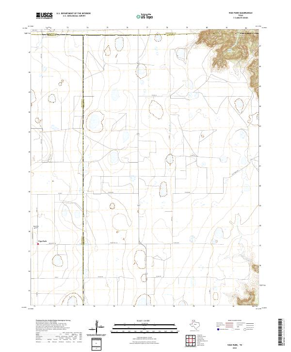 2022 Vigo Park2022 Print · USGSThe Texas Panhandle near the Briscoe and Swisher county lines comes into focus in this contemporary survey of the High Plains. Local researchers can trace the rural network surrounding Vigo Park, from the Vigo Park Airport to the canyon breaks near Mulsey Springs.
 - 2022 Map of Buffalo Arroyo, 2022 Print
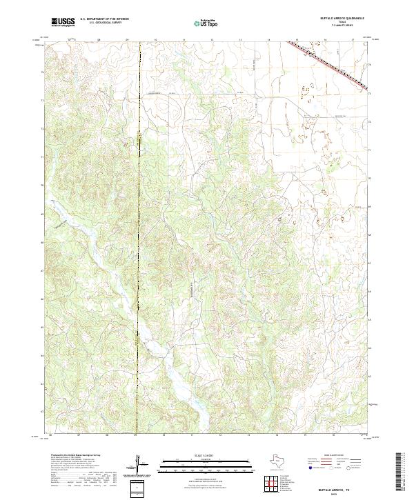 2022 Buffalo Arroyo2022 Print · USGSDonley and Armstrong counties meet in this Panhandle ranching landscape as it appeared in the early 2020s. Researchers can trace the drainage patterns of Buffalo Arroyo and Mulberry Creek or locate landmarks like Sheldon Ranch near the rural road network.
 - 2022 Map of Fortress Cliff, 2022 Print
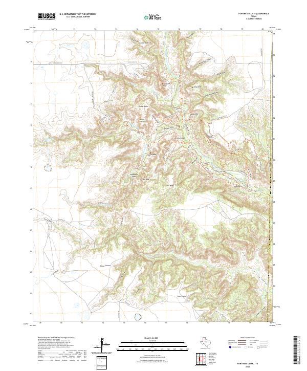 2022 Fortress Cliff2022 Print · USGSRandall County, Texas, is mapped here in the early 2020s, showing the dramatic canyonlands carved by the Prairie Dog Town Fork Red River. You can trace modern recreational paths like the Lighthouse Trail to landmarks like Goodnight Peak and Castle Peak.
 - 2022 Map of Tate Arroyo, 2022 Print
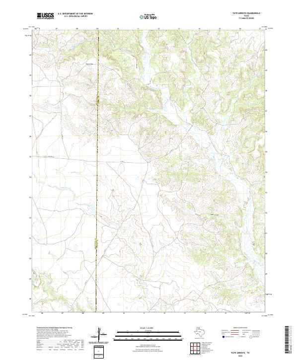 2022 Tate Arroyo2022 Print · USGSThe ranch lands of the Texas Panhandle are captured here in the early 2020s, showing the complex drainage of the High Plains. Genealogists and historians can trace the county line and remote watercourses like Tate Arroyo, Payne Flat, and the branching Mulberry Cr.
Showing maps 1-25 of 29
Top cities of Armstrong County
Frequently asked questions
- What are the different types of historical maps available for Armstrong County?
- What is the oldest map of Armstrong County?
- Where can I purchase historical maps of Armstrong County for my home or office?
- Where can I download high-res historical maps of Armstrong County?
- Are there historical topographic maps available for Armstrong County?
- Is there historical aerial imagery available for Armstrong County?
- Where are historical maps of Armstrong County sourced from?