2000s (21st Century) Maps of Armstrong County, Texas
Explore 145 historic maps of Armstrong County from the 2000s (21st Century). These maps offer a rare glimpse into what life looked like during the 2000s — showing old roads, neighborhoods, homes, and landmarks that have changed or disappeared over time.
Whether you're researching your family's past, planning a metal detecting trip, or studying how Armstrong County's landscape evolved across the 2000s, these high-resolution maps are a powerful tool for exploring the history of this region.
- Focus on a specific era: All maps on this page are from the 2000s, giving you a focused view of this time period.
- See what’s changed: Compare century-old streets, trails, and buildings to today's modern landscape using overlays and satellite layers.
- Research with precision: Use these maps for genealogy, historical research, land use analysis, or educational projects.
- View, download, or print: Maps are fully viewable online in high resolution, and can be downloaded or printed for your own records.
Start exploring Armstrong County's history through authentic maps from the 2000s. This is your window into the past.
Armstrong County, TX maps
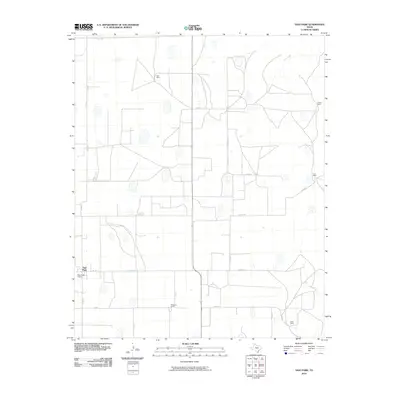
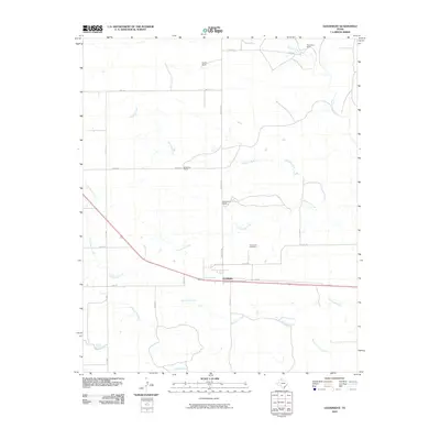
(145)- 2010 Map of Tate Arroyo, 2010 Print
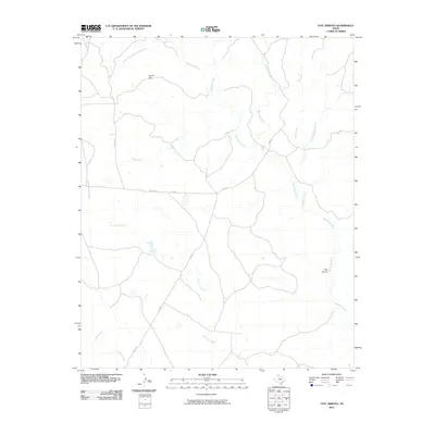 2010 Tate Arroyo2010 Print · USGSCovers Armstrong County, including Donley County, United States, and other nearby areas
 - 2010 Map of Willow Arroyo, 2010 Print
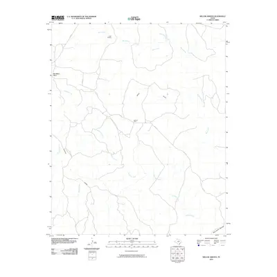 2010 Willow Arroyo2010 Print · USGSCovers Armstrong County, including Woodburn Place, Briscoe County, and other nearby areas
 - 2010 Map of Buffalo Arroyo, 2010 Print
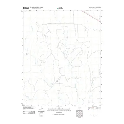 2010 Buffalo Arroyo2010 Print · USGSCovers Armstrong County, including Donley County, United States, and other nearby areas
 - 2010 Map of Blue Hole Springs, 2010 Print
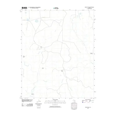
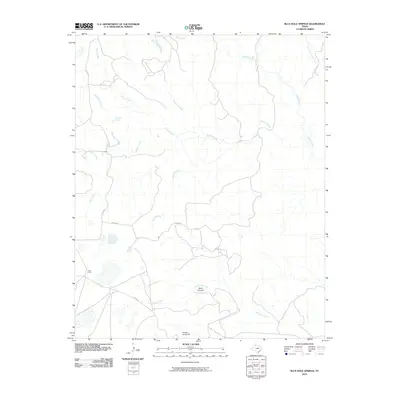 2010 Blue Hole Springs2010 Print · USGSCovers Armstrong County, including United States, Texas, and other nearby areas
 - 2010 Map of Luttrell Springs NE, 2010 Print
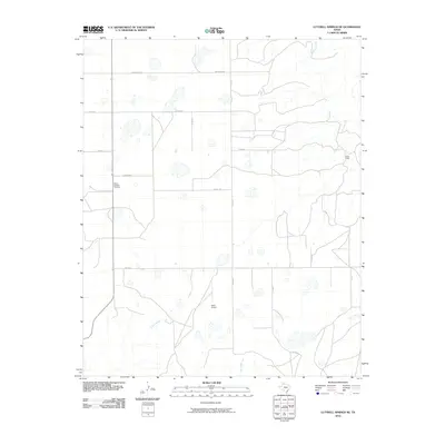 2010 Luttrell Springs NE2010 Print · USGSCovers Armstrong County, including United States, Texas, and other nearby areas
 - 2010 Map of Big Betty Reservoir, 2010 Print
 2010 Big Betty Reservoir2010 Print · USGSCovers Armstrong County, including Briscoe County, United States, and other nearby areas
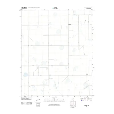
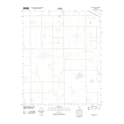
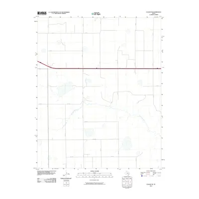
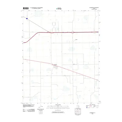
 - 2010 Map of Claude, 2010 Print
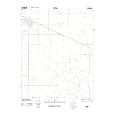 2010 Claude2010 Print · USGSCovers Armstrong County, including Claude, Malden, and other nearby areas
 - 2010 Map of Pony Flats, 2010 Print
 2010 Pony Flats2010 Print · USGSCovers Armstrong County, including United States, Texas, and other nearby areas
 - 2010 Map of Conway, 2010 Print
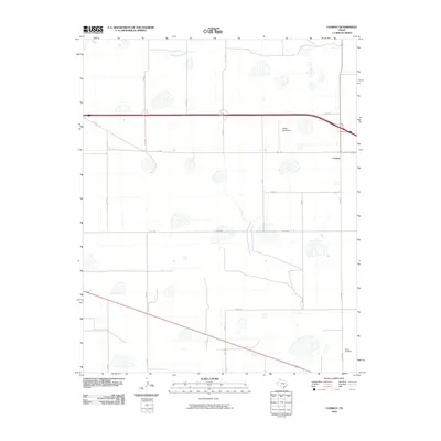 2010 Conway2010 Print · USGSCovers Armstrong County, including Conway, Carson County, and other nearby areas
 - 2010 Map of Fairview, 2010 Print
 2010 Fairview2010 Print · USGSCovers Armstrong County, including Fairview, Randall County, and other nearby areas
 - 2010 Map of Tule Lake NW, 2010 Print
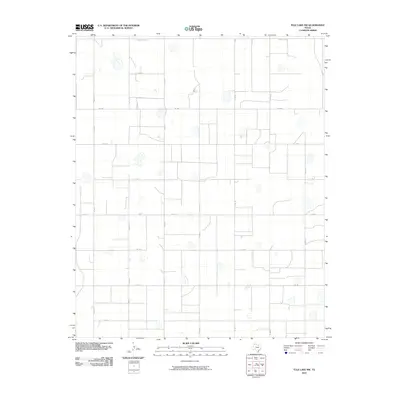 2010 Tule Lake NW2010 Print · USGSCovers Armstrong County, including Randall County, Swisher County, and other nearby areas
 - 2010 Map of Claude SW, 2010 Print
 2010 Claude SW2010 Print · USGSCovers Armstrong County, including Claude, United States, and other nearby areas
 - 2010 Map of Jackson Hill, 2010 Print
 2010 Jackson Hill2010 Print · USGSCovers Armstrong County, including Swisher County, United States, and other nearby areas
 - 2010 Map of Wayside, 2010 Print
 2010 Wayside2010 Print · USGSCovers Armstrong County, including Wayside, United States, and other nearby areas
 - 2010 Map of Luttrell Springs, 2010 Print
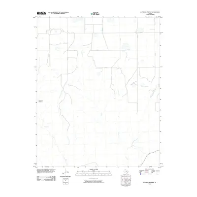 2010 Luttrell Springs2010 Print · USGSCovers Armstrong County, including United States, Texas, and other nearby areas
 - 2010 Map of Vigo Park, 2010 Print
 2010 Vigo Park2010 Print · USGSCovers Armstrong County, including Vigo Park, Swisher County, and other nearby areas
 - 2010 Map of Claude NE, 2010 Print
 2010 Claude NE2010 Print · USGSCovers Armstrong County, including Carson County, United States, and other nearby areas
 - 2010 Map of Pleasant Creek, 2010 Print
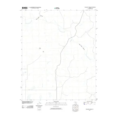 2010 Pleasant Creek2010 Print · USGSCovers Armstrong County, including United States, Texas, and other nearby areas
 - 2010 Map of Groom, 2010 Print
 2010 Groom2010 Print · USGSCovers Armstrong County, including Groom, Gray County, and other nearby areas
 - 2010 Map of Ashtola, 2010 Print
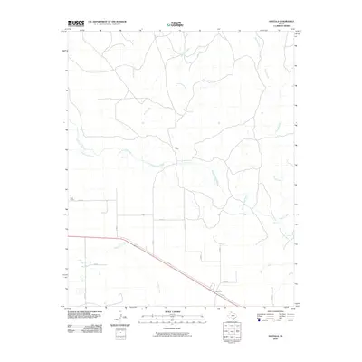 2010 Ashtola2010 Print · USGSCovers Armstrong County, including Ashtola, Donley County, and other nearby areas
 - 2010 Map of Wesley Point, 2010 Print
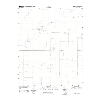 2010 Wesley Point2010 Print · USGSCovers Armstrong County, including Randall County, United States, and other nearby areas
 - 2010 Map of Goodnight, 2010 Print
 2010 Goodnight2010 Print · USGSCovers Armstrong County, including Goodnight, United States, and other nearby areas
 - 2010 Map of Thomas Ranch, 2010 Print
 2010 Thomas Ranch2010 Print · USGSCovers Armstrong County, including Randall County, United States, and other nearby areas
 - 2010 Map of Washburn, 2010 Print
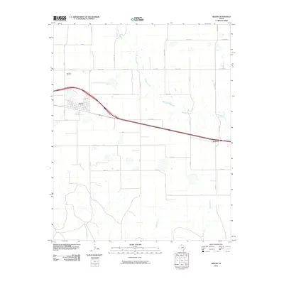
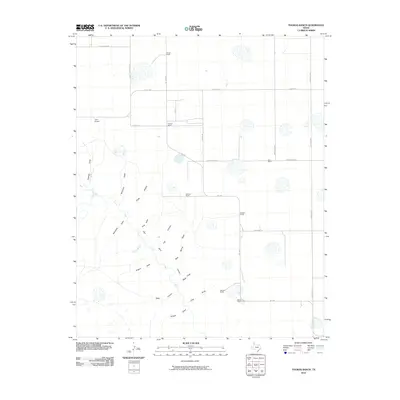
 2010 Washburn2010 Print · USGSCovers Armstrong County, including Washburn, Yarnall, and other nearby areas
 - 2010 Map of Fortress Cliff, 2010 Print
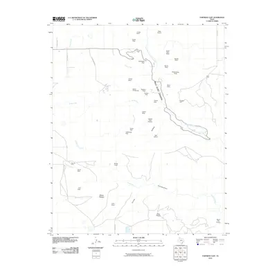 2010 Fortress Cliff2010 Print · USGSCovers Armstrong County, including Randall County, United States, and other nearby areas
Showing maps 1-25 of 145
Top cities of Armstrong County
Frequently asked questions
- What are the different types of historical maps available for Armstrong County?
- What is the oldest map of Armstrong County?
- Where can I purchase historical maps of Armstrong County for my home or office?
- Where can I download high-res historical maps of Armstrong County?
- Are there historical topographic maps available for Armstrong County?
- Is there historical aerial imagery available for Armstrong County?
- Where are historical maps of Armstrong County sourced from?