2010s Maps of Armstrong County, Texas
Explore 116 historic maps of Armstrong County from the 2010s. These maps offer a rare glimpse into what life looked like during the 2010s — showing old roads, neighborhoods, homes, and landmarks that have changed or disappeared over time.
Whether you're researching your family's past, planning a metal detecting trip, or studying how Armstrong County's landscape evolved across the 2010s, these high-resolution maps are a powerful tool for exploring the history of this region.
- Focus on a specific era: All maps on this page are from the 2010s, giving you a focused view of this time period.
- See what’s changed: Compare century-old streets, trails, and buildings to today's modern landscape using overlays and satellite layers.
- Research with precision: Use these maps for genealogy, historical research, land use analysis, or educational projects.
- View, download, or print: Maps are fully viewable online in high resolution, and can be downloaded or printed for your own records.
Start exploring Armstrong County's history through authentic maps from the 2010s. This is your window into the past.
Armstrong County, TX maps
(116)- 2010 Map of Tate Arroyo, 2010 Print
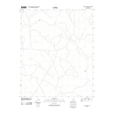 2010 Tate Arroyo2010 Print · USGSThe Texas Panhandle's ranching country is mapped here in the early twenty-first century, showing a landscape defined by seasonal creek beds. Trace the winding paths of Tate Arroyo and Mulberry Creek past landmarks like Payne Flat.
 - 2010 Map of Willow Arroyo, 2010 Print
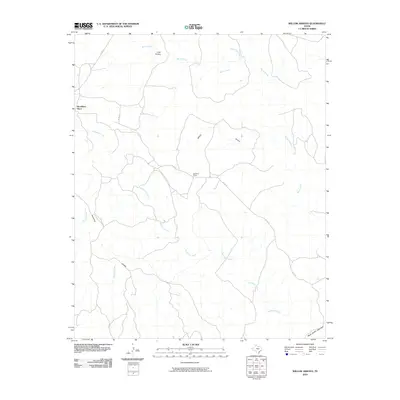 2010 Willow Arroyo2010 Print · USGSBriscoe County at the start of the 2010s shows a landscape defined by the deep arroyos and creeks that feed into the High Plains canyons. Researchers can trace remote ranching outposts like Woodburn Place and Hackberry Camp or the upper rim of Palo Duro Canyon.
 - 2010 Map of Buffalo Arroyo, 2010 Print
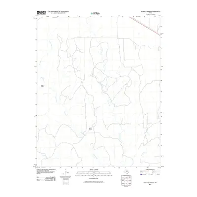 2010 Buffalo Arroyo2010 Print · USGSArmstrong County ranchland in the early 2000s is defined by its deep arroyos and winding creek beds. Genealogists and researchers can trace the reach of Sheldon Ranch and the intricate drainages of Buffalo Arroyo and Mulberry Creek.
 - 2010 Map of Blue Hole Springs, 2010 Print
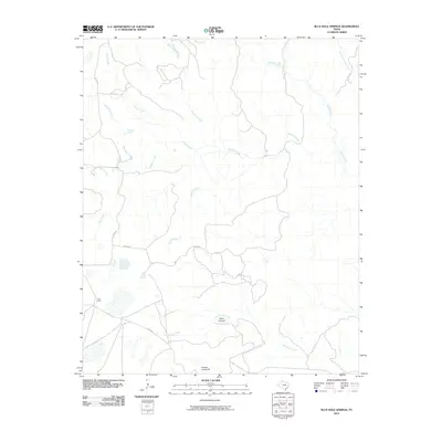 2010 Blue Hole Springs2010 Print · USGSArmstrong County ranching lands and Panhandle drainages are documented here in the early twenty-first century. Researchers can trace land features and water sources like Blue Hole Springs, the Plains Corral, and the dramatic Dutch Canyon.
 - 2010 Map of Luttrell Springs NE, 2010 Print
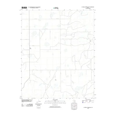 2010 Luttrell Springs NE2010 Print · USGSArmstrong County ranching and rural life are documented here during the early twenty-first century. Genealogists and local researchers can locate Mount Pleasant Cemetery or trace the geography of Jacks Camp and Reed Airport.
 - 2010 Map of Big Betty Reservoir, 2010 Print
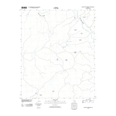 2010 Big Betty Reservoir2010 Print · USGSThe deep breaks of the Texas Panhandle are revealed in this 2010 survey of Armstrong County. Researchers can trace the ranching history of the area through named livestock enclosures like Cyclone Pens and local landmarks such as Campbell Creek Camp and Day Windmill Flats.
 - 2010 Map of Claude, 2010 Print
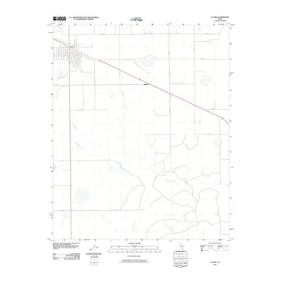 2010 Claude2010 Print · USGSThe Texas Panhandle plains meet the breaks of the Red River watershed in this survey of Armstrong County. Genealogists and local historians can trace the grid of Claude and follow Mulberry Creek through the rural ranchland near Malden.
 - 2010 Map of Pony Flats, 2010 Print
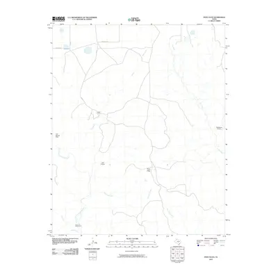 2010 Pony Flats2010 Print · USGSThe High Plains and canyon breaks of Armstrong County are shown here in the early twenty-first century as they were managed by local ranching families. Historians can pinpoint the Mackenzie Battleground or trace the drainages of Rush Creek and McFarland Creek.
 - 2010 Map of Conway, 2010 Print
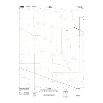 2010 Conway2010 Print · USGSThe Texas Panhandle community of Conway is captured here during the first decade of the new millennium. Researchers can trace rural property boundaries and landmarks like Eagles Aerodrome and the Claude Cemetery.
 - 2010 Map of Fairview, 2010 Print
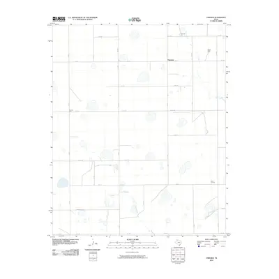 2010 Fairview2010 Print · USGSArmstrong County agriculture is on full display here in the early twenty-first century, showing a landscape defined by systematic farmsteads and a rigid road grid. Genealogists and local historians can locate family holdings like Valleyview Farm or Fourway Farm along phonetic routes such as Kilo Rd and Juliet Rd.
 - 2010 Map of Tule Lake NW, 2010 Print
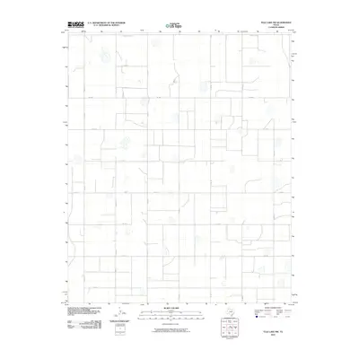 2010 Tule Lake NW2010 Print · USGSThe rural Panhandle landscape appears in its modern agricultural form, dominated by a vast grid of farm-to-market roads and scattered playa lakes. Genealogists and local historians can trace specific land divisions along FM 1881, Co Rd 15, and the northern County Line Rd.
 - 2010 Map of Claude SW, 2010 Print
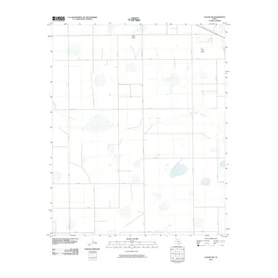 2010 Claude SW2010 Print · USGSArmstrong County ranchlands are captured here in the early 2000s, showing a landscape defined by industrial agriculture and private aviation. Trace the paths of Mulberry Creek or locate local hubs like Finley Ranch Airport and Finley Farm Airport.
 - 2010 Map of Jackson Hill, 2010 Print
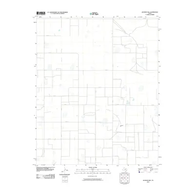 2010 Jackson Hill2010 Print · USGSSwisher County is seen here in the early 2000s, characterized by its precise grid of agricultural roads and high plains terrain. Researchers can locate land parcels along Zulu Rd or trace the geography around the landmark Jackson Hill and FM 2301.
 - 2010 Map of Wayside, 2010 Print
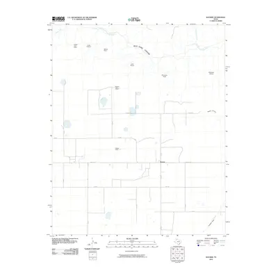 2010 Wayside2010 Print · USGSThe Texas Panhandle breaks at the dawn of the 21st century are captured here, centered on the community of Wayside. Genealogists and cattle-country researchers can trace family landholdings near McNeill Ranch Airport, McGehee Hollow, and the edges of Palo Duro Canyon.
 - 2010 Map of Luttrell Springs, 2010 Print
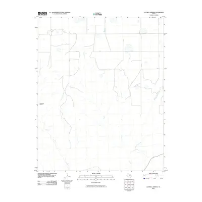 2010 Luttrell Springs2010 Print · USGSArmstrong County ranchlands are captured here in the early twenty-first century, showing a landscape defined by its seasonal waterways. You can trace the rugged topography of Horseshoe Canyon or follow rural routes like Oscar Rd and Papa Rd.
 - 2010 Map of Vigo Park, 2010 Print
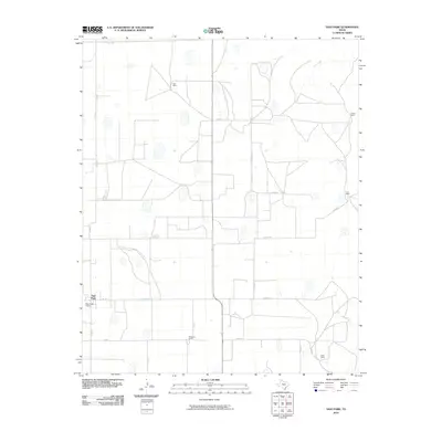 2010 Vigo Park2010 Print · USGSVigo Park and the surrounding Swisher County ranchlands are captured here during the first decade of the new millennium. Researchers can trace the layout of family estates and rural infrastructure, including Tule Ranch, Hulsey Ranch, and the Vigo Park Airport.
 - 2010 Map of Claude NE, 2010 Print
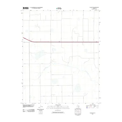 2010 Claude NE2010 Print · USGSArmstrong County in the early twenty-first century remains a landscape of vast agricultural grids and hidden natural drainages. Researchers can trace the winding Salt Fork Red River and the phonetic local network of Alpha Rd and Bravo Rd.
 - 2010 Map of Pleasant Creek, 2010 Print
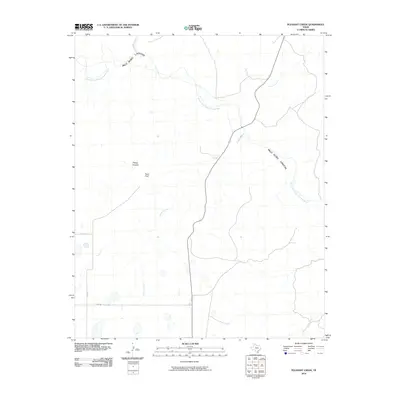 2010 Pleasant Creek2010 Print · USGSArmstrong County is shown at the start of the 2010s as the High Plains drop into the canyon floor. Trace the rugged terrain from Road Point down into Palo Duro Canyon along the Prairie Dog Town Fork Red River.
 - 2010 Map of Groom, 2010 Print
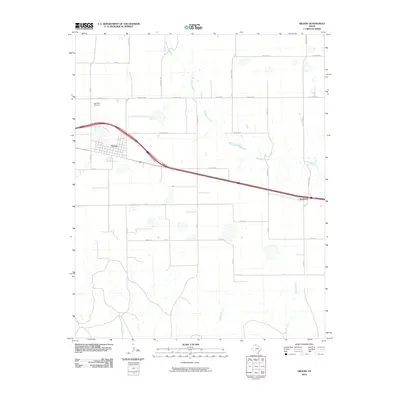 2010 Groom2010 Print · USGSThe Texas Panhandle township of Groom and the surrounding ranchlands are documented here at the turn of the decade. Researchers can trace the local watercourses of McClellan Creek and Sandy Creek or locate Saint Mary Cemetery and the settlement of Boydston.
 - 2010 Map of Ashtola, 2010 Print
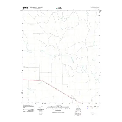 2010 Ashtola2010 Print · USGSTexas ranching country near the Salt Fork Red River was meticulously documented at the start of the 2010s. Trace old property lines and rural routes between Ashtola, S J Ranch, and the many drainages like Sandy Creek that define this Donley County landscape.
 - 2010 Map of Wesley Point, 2010 Print
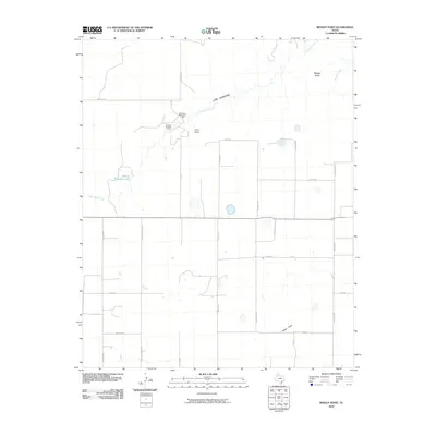 2010 Wesley Point2010 Print · USGSThe High Plains of Randall County meet the dramatic breaks of Cita Canyon in this recent survey of the Texas Panhandle. Researchers can trace the local drainage of South Cita Creek and Happy Draw, or locate established landmarks like Stanley Schaeffer Lake and the Cita Canyon Methodist Camp.
 - 2010 Map of Goodnight, 2010 Print
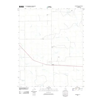 2010 Goodnight2010 Print · USGSThe Texas Panhandle's ranching heritage is on full display in this survey of the Armstrong County plains during the early 21st century. Researchers can locate specific family-named landmarks like Bugbee Ranch and Thornberry Ranch or trace local lineage at the Goodnight Cemetery.
 - 2010 Map of Thomas Ranch, 2010 Print
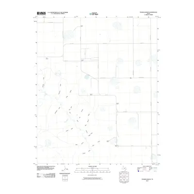 2010 Thomas Ranch2010 Print · USGSRandall County ranchlands meet the northern reaches of the canyon country in this early twenty-first-century survey. Researchers can trace historic family-named holdings like Smoot Ranch and Stevens Ranch or map the complex drainages of Chalk Hollow and Palo Duro Canyon.
 - 2010 Map of Washburn, 2010 Print
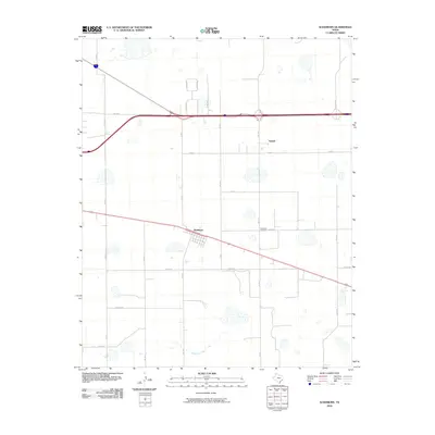 2010 Washburn2010 Print · USGSThe community of Washburn and the nearby settlement of Yarnall are captured in this Texas Panhandle landscape during the early twenty-first century. Researchers can trace local lineage at the Washburn Cemetery and follow rural routes like Bravo Rd and Mulberry Creek.
 - 2010 Map of Fortress Cliff, 2010 Print
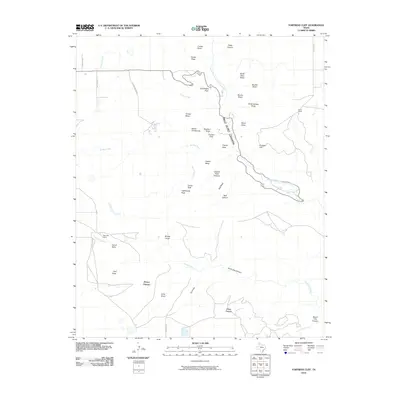 2010 Fortress Cliff2010 Print · USGSRandall County's dramatic canyonlands are captured here in the early twenty-first century, showing where the High Plains drop into deep red-rock breaks. Map collectors and researchers can locate landmarks like Lighthouse Peak, Krahn Ranch, and the massive Fortress Cliff.
Showing maps 1-25 of 116
Top cities of Armstrong County
Frequently asked questions
- What are the different types of historical maps available for Armstrong County?
- What is the oldest map of Armstrong County?
- Where can I purchase historical maps of Armstrong County for my home or office?
- Where can I download high-res historical maps of Armstrong County?
- Are there historical topographic maps available for Armstrong County?
- Is there historical aerial imagery available for Armstrong County?
- Where are historical maps of Armstrong County sourced from?