Old Maps of Freeport, Texas for Hiking & Exploration
Hike through history with 51 historic maps of Freeport. Explore old trails, ghost towns, and forgotten backroads — perfect for outdoor adventurers and local explorers.
- Rediscover forgotten places: Map out old mining camps, roads, and footpaths that no longer exist on modern maps.
- Layer with modern tools: Combine with LiDAR or satellite views to plan hikes through historical terrain.
- Made for exploration: Popular among hikers, overlanders, and local history lovers.
Use these maps to find adventure and explore the hidden past of Freeport.
Freeport, TX maps
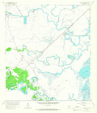
(51)- 1943 Map of Oyster Creek
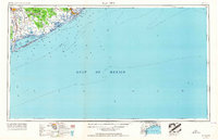
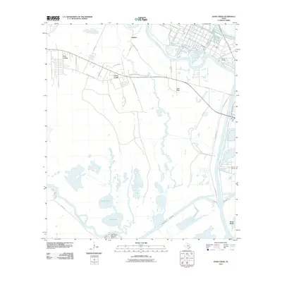
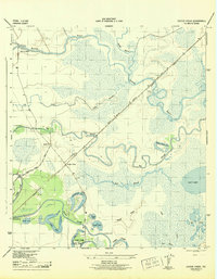 1943 Oyster Creek1943 Print · USGSBrazoria County coastal life centered on the bayous and the railroad during the Second World War. Genealogists and historians can trace the foundations of Bastrop Beach or locate family sites like Hudgens Cem and Bethel Ch.2 unique versions available
 - 1943 Map of Jones Creek
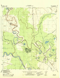
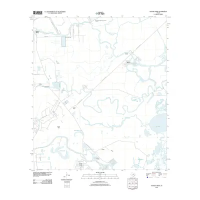
 1943 Jones Creek1943 Print · USGSBrazoria County's coastal delta is captured here during the early 1940s as industry and infrastructure began to reshape the marshlands. Genealogists and local historians can trace family locations near Perry Landing, the Oakland Sch, and the Velasco Cem along the Brazos River.2 unique versions available
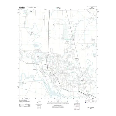
 - 1943 Map of Freeport
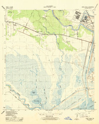
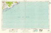
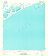
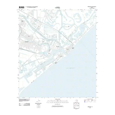
 1943 Freeport1943 Print · USGSThe Texas coast near the mouth of the Brazos River comes into sharp focus during the early 1940s as industry and navigation expand. Researchers can trace the layout of Freeport, locate the Brazos River Lighthouse, and find the historic Quintana Cem along the gulf shore.2 unique versions available
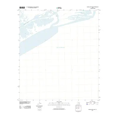
 - 1943 Map of Cedar Lakes East, 1958 Print
 1943 Cedar Lakes East1958 Print · USGSThe Texas coast near the mouth of the San Bernard River was a landscape of deep-water channels and marshes in the early 1940s. Genealogists and local historians can locate the Ducroz Cem and early settlements like Owen and the Hotel.
 - 1943 Map of Snipe, 1959 Print
 1943 Snipe1959 Print · USGSCoastal Brazoria County was undergoing a mid-century transformation as suburban development met traditional river bottomlands. Researchers can trace the early street grid of Lake Jackson, the sprawling Retrieve State Farm, and local landmarks like Trueona Ch and Wharton Cem.2 unique versions available
 - 1950 Map of Houston, 1953 Print
 1950 Houston1953 Print · USGSCoastal Texas in the early fifties reveals a landscape of massive civil engineering and industrial transit. Genealogists and researchers can trace the growth of the Houston suburbs and the maritime infrastructure of Galveston Bay, including the Gulf Freeway and the Texas City Dike.
 - 1951 Map of Bay City
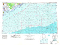
 1951 Bay City1951 Print · USGSThe mid-century Texas Gulf Coast comes to life in this survey of the delta region where the Brazos and Colorado Rivers meet the sea. Researchers can trace the industrial footprint of Freeport or locate family-named spots like Mangun and Hawkinsville.
 - 1956 Map of Houston, 1963 Print
 1956 Houston1963 Print · USGSSoutheast Texas in the mid-fifties is captured here as a powerhouse of oil and maritime trade. Genealogists and historians can trace the foundations of Houston and its ports, alongside landmarks like the Rice Institute and the Spindletop Oil Field.2 unique versions available
 - 1956 Map of Bay City, 1964 Print
 1956 Bay City1964 Print · USGSThe Texas Gulf Coast comes into focus in the mid-1950s, showing the intricate bayous and coastal settlements from Bay City to Freeport. Researchers can trace the legacy of shoreline communities like Sargent, Matagorda Beach, and Hawkinsville before modern coastal changes.2 unique versions available
 - 1958 Map of Bay City
 1958 Bay City1958 Print · USGSThe Texas Gulf Coast in the late fifties shows a landscape of growing petrochemical plants and intricate wetlands. Genealogists and historians can trace the paths of the Missouri Pacific railroad through Bay City or locate old settlements like Hinkle Ferry and Hawkinsville.
 - 1963 Map of Jones Creek, 1966 Print
 1963 Jones Creek1966 Print · USGSCoastal Brazoria County in the early 1960s reveals a landscape of marshy bayous and growing industry between two major rivers. Genealogists and researchers can locate the Velasco Cem, Gulf Prairie Ch, and the Austin Sch near the settlement of Jones Creek.2 unique versions available
 - 1963 Map of Lake Jackson, 1966 Print
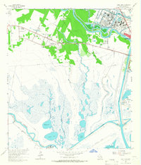
 1963 Lake Jackson1966 Print · USGSIn the early 1960s, the Brazos River bottomlands saw the rapid growth of Lake Jackson and Clute amidst established correctional units. Researchers can trace local development through Lake Jackson, Lake Jackson Farms, and neighborhood landmarks like St Michaels Ch.4 unique versions available
 - 1963 Map of Oyster Creek, 1966 Print
 1963 Oyster Creek1966 Print · USGSThe Brazoria County coast in the early sixties is a landscape of winding bayous and industrial salt and oil works. Genealogists can trace family landmarks like Hudgens Cem and Evergreen Ch near the settlement of Mims.3 unique versions available
 - 1964 Map of Freeport, 1966 Print
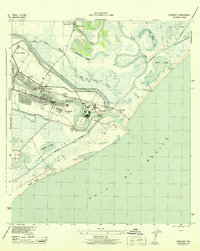
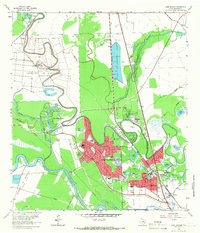
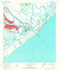 1964 Freeport1966 Print · USGSThe Texas Gulf Coast comes alive in the mid-1960s as Freeport expands its industrial reach at the mouth of the Brazos. Trace family roots and local history at Velasco Heights, West End Ch, or the Jane Long Sch.5 unique versions available
 - 1964 Map of Cedar Lakes East, 1966 Print
 1964 Cedar Lakes East1966 Print · USGSThe Brazoria coast in the mid-sixties reveals a landscape of tidal marshes and industrial waterways where the San Bernard River meets the sea. Genealogists and maritime historians can trace the isolated Ducroz Cem and the path of the Intracoastal Waterway through the wetlands.2 unique versions available
 - 1974 Map of Bay City, 1978 Print
 1974 Bay City1978 Print · USGSThe Texas Gulf Coast in the mid-seventies reveals a landscape of sprawling wetlands and coastal transit hubs. Genealogists and historians can trace the rail corridors of the Missouri Pacific or locate early settlements like Wadsworth and Matagorda.
 - 1975 Map of Houston, 1977 Print
 1975 Houston1977 Print · USGSThe Texas Gulf Coast in the mid-seventies shows a sprawling Houston metropolis linked to the sea by the massive Houston Ship Channel. Researchers can trace the mid-century industrial landscape from the Astrodome to the Lyndon B. Johnson Space Center.2 unique versions available
 - 1984 Map of Angleton
 1984 Angleton1984 Print · USGSThe Texas Gulf Coast in the mid-eighties shows a landscape of salt domes and bayous at the height of its oil-and-river economy. Researchers can trace land use through the Damon Mound Oil Field and the sprawling State Department of Corrections (Retrieve Unit).2 unique versions available
 - 2010 Map of Cedar Lakes East, 2010 Print
 2010 Cedar Lakes East2010 Print · USGSCovers Freeport, including Brazoria County, Matagorda County, and other nearby areas
 - 2010 Map of Freeport, 2010 Print
 2010 Freeport2010 Print · USGSCovers Freeport, including Lake Jackson, Oyster Creek, and other nearby areas
 - 2010 Map of Jones Creek, 2010 Print
 2010 Jones Creek2010 Print · USGSCovers Freeport, including Lake Jackson, Jones Creek, and other nearby areas
 - 2010 Map of Oyster Creek, 2010 Print
 2010 Oyster Creek2010 Print · USGSCovers Freeport, including Alvin, Clute, and other nearby areas
 - 2010 Map of Lake Jackson, 2010 Print
 2010 Lake Jackson2010 Print · USGSCovers Freeport, including Lake Jackson, Angleton, and other nearby areas
 - 2010 Map of Christmas Point OE S, 2010 Print
 2010 Christmas Point OE S2010 Print · USGSCovers Freeport, including San Luis Beach, Brazoria County, and other nearby areas
 - 2013 Map of Cedar Lakes East, 2013 Print
 2013 Cedar Lakes East2013 Print · USGSCovers Freeport, including Brazoria County, Matagorda County, and other nearby areas
Showing maps 1-25 of 51
Top cities near Freeport
- Galveston historical maps
- Lake Jackson historical maps
- Alvin historical maps
- Angleton historical maps
- Clute historical maps
- Hitchcock historical maps
See more
Top neighborhoods of Freeport
Frequently asked questions
- What are the different types of historical maps available for Freeport?
- What is the oldest map of Freeport?
- Where can I purchase historical maps of Freeport for my home or office?
- Where can I download high-res historical maps of Freeport?
- Are there historical topographic maps available for Freeport?
- Is there historical aerial imagery available for Freeport?
- Where are historical maps of Freeport sourced from?