Old Maps of Pearland, Texas
Explore 21 old maps of Pearland, spanning from 1916 to today. These high-resolution historic maps reveal how streets, neighborhoods, landmarks, and natural features evolved over time — perfect for genealogy, metal detecting, research, and local history exploration.
What you can do with these maps:
- See how Pearland changed over time: Compare historical maps to modern-day views to trace roads, homesites, rail lines & more.
- View detailed metadata: Each map includes creators, publishers, year, scale, and archive source.
- Overlay maps with satellite & LiDAR: Visualize the past alongside modern tools to explore terrain & human change.
- Trusted historical sources: Maps sourced from the USGS, Library of Congress, and other archives.
- Access maps your way: View online, download high-res files, or order prints for personal or research use.
Start exploring old maps of Pearland to uncover forgotten places, hidden landmarks, and the deep history beneath your feet.
Pearland, TX maps
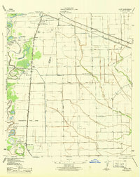
(21)- 1916 Map of Genoa
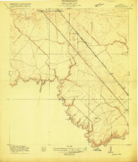 1916 Genoa1916 Print · USGSCovers Pearland, including Houston, League City, and other nearby areas2 unique versions available
 - 1920 Map of Genoa
 1920 Genoa1920 Print · USGSCovers Pearland, including Houston, League City, and other nearby areas
 - 1920 Map of Mykawa
 1920 Mykawa1920 Print · USGSCovers Pearland, including Houston, Alvin, and other nearby areas3 unique versions available
 - 1920 Map of Almeda
 1920 Almeda1920 Print · USGSCovers Pearland, including Houston, Missouri City, and other nearby areas2 unique versions available
 - 1932 Map of Genoa
 1932 Genoa1932 Print · USGSCovers Pearland, including Houston, League City, and other nearby areas3 unique versions available
 - 1943 Map of Juliff
 1943 Juliff1943 Print · USGSCovers Pearland, including Missouri City, Alvin, and other nearby areas2 unique versions available
 - 1950 Map of Houston, 1953 Print
 1950 Houston1953 Print · USGSCovers Pearland, including Houston, Pasadena, and other nearby areas
 - 1955 Map of Friendswood, 1957 Print
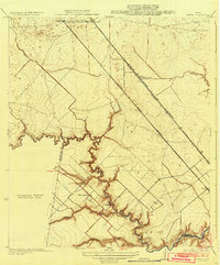
 1955 Friendswood1957 Print · USGSCovers Pearland, including Houston, League City, and other nearby areas3 unique versions available
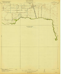
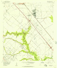
 - 1955 Map of Pearland, 1957 Print
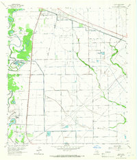
 1955 Pearland1957 Print · USGSCovers Pearland, including Houston, Alvin, and other nearby areas2 unique versions available
 - 1955 Map of Almeda, 1957 Print
 1955 Almeda1957 Print · USGSCovers Pearland, including Houston, Missouri City, and other nearby areas3 unique versions available
 - 1956 Map of Houston, 1963 Print
 1956 Houston1963 Print · USGSCovers Pearland, including Houston, Pasadena, and other nearby areas2 unique versions available
 - 1963 Map of Juliff, 1966 Print
 1963 Juliff1966 Print · USGSCovers Pearland, including Missouri City, Alvin, and other nearby areas2 unique versions available
 - 1975 Map of Houston, 1977 Print
 1975 Houston1977 Print · USGSCovers Pearland, including Houston, Pasadena, and other nearby areas2 unique versions available
 - 1982 Map of Freindswood, 1983 Print
 1982 Freindswood1983 Print · USGSCovers Pearland, including Houston, League City, and other nearby areas2 unique versions available
 - 1982 Map of Pearland, 1983 Print
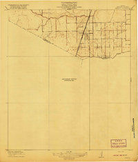
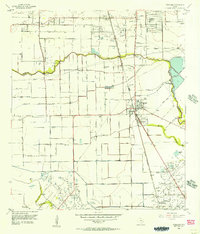
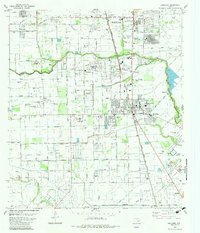 1982 Pearland1983 Print · USGSCovers Pearland, including Houston, Alvin, and other nearby areas
 - 1982 Map of Almeda, 1983 Print
 1982 Almeda1983 Print · USGSCovers Pearland, including Houston, Missouri City, and other nearby areas
 - 1984 Map of Angleton
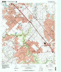
 1984 Angleton1984 Print · USGSCovers Pearland, including League City, Missouri City, and other nearby areas2 unique versions available
 - 1992 Map of Houston
 1992 Houston1992 Print · USGSCovers Pearland, including Houston, Pasadena, and other nearby areas
 - 1995 Map of Pearland, 1998 Print
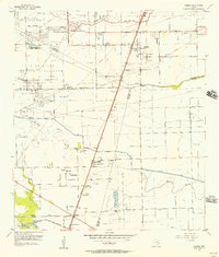
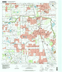 1995 Pearland1998 Print · USGSCovers Pearland, including Houston, Alvin, and other nearby areas
 - 1995 Map of Almeda, 1999 Print
 1995 Almeda1999 Print · USGSCovers Pearland, including Houston, Missouri City, and other nearby areas
 - 1995 Map of Friendswood, 1999 Print
 1995 Friendswood1999 Print · USGSCovers Pearland, including Houston, League City, and other nearby areas
End of results
Showing maps 1-21 of 21
Top cities near Pearland
- Houston historical maps
- Pasadena historical maps
- League City historical maps
- Missouri City historical maps
- Galveston historical maps
- Friendswood historical maps
See more
Top neighborhoods of Pearland
- Hastings historical maps
- Banbury Cross historical maps
- Regency Park historical maps
- Cabot Cove historical maps
- Cobblestone historical maps
- Villa d'Este historical maps
See more
Frequently asked questions
- What are the different types of historical maps available for Pearland?
- What is the oldest map of Pearland?
- Where can I purchase historical maps of Pearland for my home or office?
- Where can I download high-res historical maps of Pearland?
- Are there historical topographic maps available for Pearland?
- Is there historical aerial imagery available for Pearland?
- Where are historical maps of Pearland sourced from?