2000s (21st Century) Maps of Wells, Texas
Explore 11 historic maps of Wells from the 2000s (21st Century). These maps offer a rare glimpse into what life looked like during the 2000s — showing old roads, neighborhoods, homes, and landmarks that have changed or disappeared over time.
Whether you're researching your family's past, planning a metal detecting trip, or studying how Wells's landscape evolved across the 2000s, these high-resolution maps are a powerful tool for exploring the history of this region.
- Focus on a specific era: All maps on this page are from the 2000s, giving you a focused view of this time period.
- See what’s changed: Compare century-old streets, trails, and buildings to today's modern landscape using overlays and satellite layers.
- Research with precision: Use these maps for genealogy, historical research, land use analysis, or educational projects.
- View, download, or print: Maps are fully viewable online in high resolution, and can be downloaded or printed for your own records.
Start exploring Wells's history through authentic maps from the 2000s. This is your window into the past.
Wells, TX maps
(11)- 2004 Map of Wells, 2006 Print
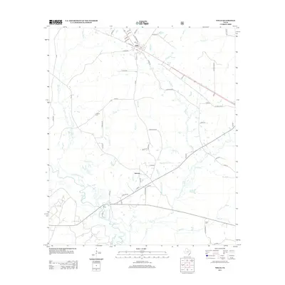
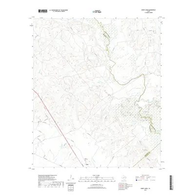
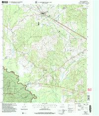 2004 Wells2006 Print · USGSCherokee and Angelina counties are captured here in the early 2000s, showing the intersection of forest service land and rural life. Researchers can trace family history through local sites like Simpson Cem, the small settlement of Redtown, and the banks of the Neches River.
 - 2010 Map of Durst Lakes, 2010 Print
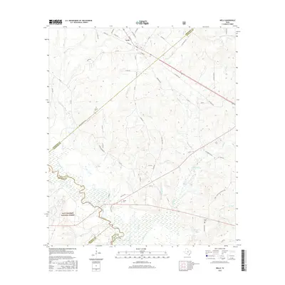
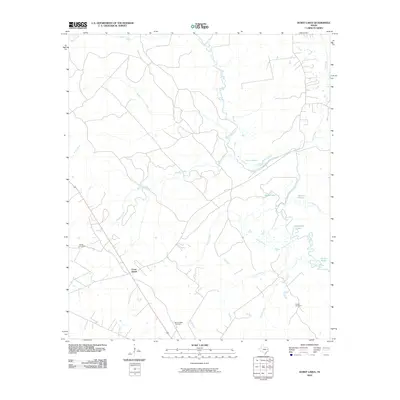 2010 Durst Lakes2010 Print · USGSCovers Wells, including Cross Roads, Angelina County, and other nearby areas
 - 2010 Map of Wells, 2010 Print
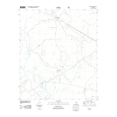 2010 Wells2010 Print · USGSCovers Wells, including Redtown, Angelina County, and other nearby areas
 - 2013 Map of Durst Lakes, 2013 Print
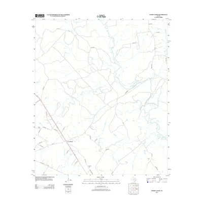 2013 Durst Lakes2013 Print · USGSCovers Wells, including Cross Roads, Angelina County, and other nearby areas
 - 2013 Map of Wells, 2013 Print
 2013 Wells2013 Print · USGSCovers Wells, including Redtown, Angelina County, and other nearby areas
 - 2016 Map of Wells, 2016 Print
 2016 Wells2016 Print · USGSCovers Wells, including Redtown, Angelina County, and other nearby areas
 - 2016 Map of Durst Lakes, 2016 Print
 2016 Durst Lakes2016 Print · USGSCovers Wells, including Cross Roads, Angelina County, and other nearby areas
 - 2019 Map of Wells, 2019 Print
 2019 Wells2019 Print · USGSCovers Wells, including Redtown, Angelina County, and other nearby areas
 - 2019 Map of Durst Lakes, 2019 Print
 2019 Durst Lakes2019 Print · USGSCovers Wells, including Cross Roads, Angelina County, and other nearby areas
 - 2022 Map of Durst Lakes, 2022 Print
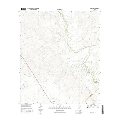
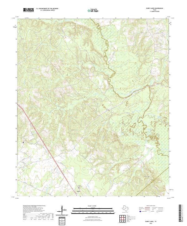 2022 Durst Lakes2022 Print · USGSThe Angelina River bottomlands come to life in this modern survey of the tri-county border area. Researchers can trace historic family burial sites at Mount Hope Cem and Hester Cem or explore the shifting waters of Durst Lakes.
 - 2022 Map of Wells, 2022 Print
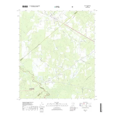
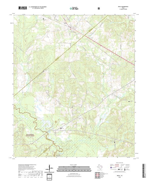 2022 Wells2022 Print · USGSThe community of Wells is captured here at the threshold of the Davy Crockett National Forest. Genealogists can trace family landmarks across the countryside, from Simpson Cem and Durham Cem to the tracks of the A & N RR.
End of results
Showing maps 1-11 of 11
Top cities near Wells
- Lufkin historical maps
- Hudson historical maps
- Alto historical maps
- Redland historical maps
- Kennard historical maps
Frequently asked questions
- What are the different types of historical maps available for Wells?
- What is the oldest map of Wells?
- Where can I purchase historical maps of Wells for my home or office?
- Where can I download high-res historical maps of Wells?
- Are there historical topographic maps available for Wells?
- Is there historical aerial imagery available for Wells?
- Where are historical maps of Wells sourced from?