Old Maps of Wells, Texas for Academic Research
Study the evolution of Wells with 21 high-resolution historic maps. Whether you're teaching, researching, or modeling changes in land use, these maps provide essential visual documentation of urban, environmental, and geographic change.
- Analyze long-term change: Track patterns in development, transportation, and natural features.
- Ideal for environmental or urban studies: Support academic projects with primary historical map data.
- Use in the classroom or lab: Educators and researchers rely on these maps to bring historical context to life.
These maps are a powerful tool for teaching, research, and visualizing how Wells has changed over the decades.
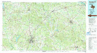
Wells, TX maps
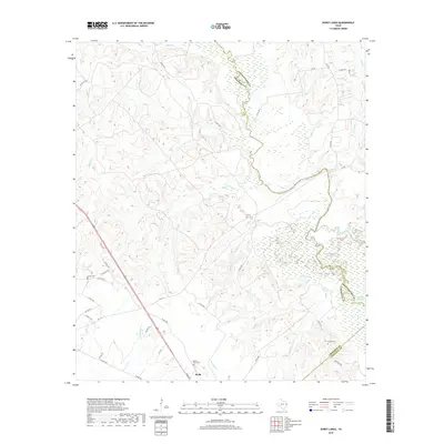
(21)- 1951 Map of Wells
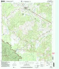
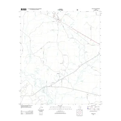
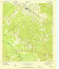 1951 Wells1951 Print · USGSCherokee County at mid-century shows a landscape shaped by timber and rail as the Piney Woods met the Neches River. Researchers can locate family landmarks like Simpson Cem, the rural center of Redtown, and the St Louis Southwestern Railroad line.3 unique versions available
 - 1952 Map of Douglass, 1953 Print
 1952 Douglass1953 Print · USGSNacogdoches County in the early fifties shows a landscape of deep-rooted rural communities and changing industrial footprints. Researchers can trace the path of the Old San Antonio Road and locate family landmarks like Blackjack Cemetery and Grange Hall School.2 unique versions available
 - 1953 Map of Palestine, 1964 Print
 1953 Palestine1964 Print · USGSEast Texas was defined by its deep pine forests and burgeoning energy sector in the mid-1950s. Genealogists and historians can trace the rail-and-river economy through settlements like Tennessee Colony and Pollok or explore the early footprints of the Cayuga Oil Field and Davy Crockett National Forest.2 unique versions available
 - 1957 Map of Palestine
 1957 Palestine1957 Print · USGSEast Texas in the mid-fifties reveals a landscape of deep pine forests and winding river valleys before the era of massive reservoir construction. Researchers can trace the legacy of the timber and rail industries through labels for the Missouri Pacific RR, Davy Crockett National Forest, and Nacogdoches.
 - 1983 Map of Durst Lakes
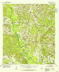
 1983 Durst Lakes1983 Print · USGSCherokee and Nacogdoches Counties come alive in the early eighties as the Angelina River meanders through bottomlands. Researchers can trace family history at Mount Hope Cem or follow the old St Louis Southwestern rail line through Wells.
 - 1984 Map of Palestine
 1984 Palestine1984 Print · USGSEast Texas in the mid-eighties reveals a landscape of massive reservoirs and protected timberlands between Palestine and Nacogdoches. Researchers can trace old routes like the Missouri Pacific RR and locate rural communities such as Tennessee Colony, Latexo, and Etoile.3 unique versions available
 - 1986 Map of Lufkin
 1986 Lufkin1986 Print · USGSDeep in the Piney Woods during the mid-eighties, this map documents a landscape shaped by vast national forests and the waters of the Sam Rayburn Reservoir. Researchers can trace the legacy of timber and rail through settlements like Diboll, Herty, and Ewing alongside the St Louis Southwestern railroad.
 - 1986 Map of Nacogdoches
 1986 Nacogdoches1986 Print · USGSDeep in the East Texas Piney Woods during the mid-eighties, this landscape centers on Nacogdoches and the sprawling Toledo Bend Reservoir. Genealogists can trace family footprints at Sulphur Springs Cem, Oak Grove Ch, and the many small settlements like Reklaw and Sacul.
 - 1992 Map of Nacogdoches
 1992 Nacogdoches1992 Print · USGSEast Texas timberlands and river valleys are captured here in the early nineties, centered on the historic regional hub of Nacogdoches. Trace family roots and old rail lines through Cushing, San Augustine, and Logansport along the Southern Pacific RR.
 - 1992 Map of Lufkin
 1992 Lufkin1992 Print · USGSThe Piney Woods of East Texas are captured here in the early nineties, centered on the growing industrial hub of Lufkin. Local researchers can trace the rail networks of the Angelina & Neches River RR and locate rural landmarks like Shady Grove Ch and Manning.
 - 2004 Map of Wells, 2006 Print
 2004 Wells2006 Print · USGSCherokee and Angelina counties are captured here in the early 2000s, showing the intersection of forest service land and rural life. Researchers can trace family history through local sites like Simpson Cem, the small settlement of Redtown, and the banks of the Neches River.
 - 2010 Map of Durst Lakes, 2010 Print
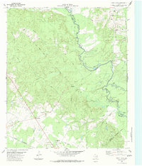
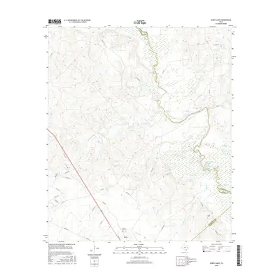
 2010 Durst Lakes2010 Print · USGSCovers Wells, including Cross Roads, Angelina County, and other nearby areas
 - 2010 Map of Wells, 2010 Print
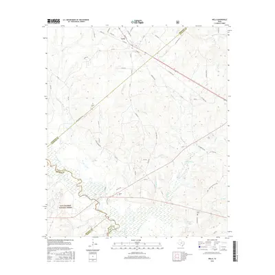
 2010 Wells2010 Print · USGSCovers Wells, including Redtown, Angelina County, and other nearby areas
 - 2013 Map of Durst Lakes, 2013 Print
 2013 Durst Lakes2013 Print · USGSCovers Wells, including Cross Roads, Angelina County, and other nearby areas
 - 2013 Map of Wells, 2013 Print
 2013 Wells2013 Print · USGSCovers Wells, including Redtown, Angelina County, and other nearby areas
 - 2016 Map of Wells, 2016 Print
 2016 Wells2016 Print · USGSCovers Wells, including Redtown, Angelina County, and other nearby areas
 - 2016 Map of Durst Lakes, 2016 Print
 2016 Durst Lakes2016 Print · USGSCovers Wells, including Cross Roads, Angelina County, and other nearby areas
 - 2019 Map of Wells, 2019 Print
 2019 Wells2019 Print · USGSCovers Wells, including Redtown, Angelina County, and other nearby areas
 - 2019 Map of Durst Lakes, 2019 Print
 2019 Durst Lakes2019 Print · USGSCovers Wells, including Cross Roads, Angelina County, and other nearby areas
 - 2022 Map of Durst Lakes, 2022 Print
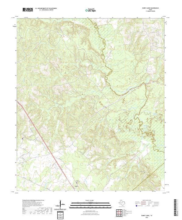 2022 Durst Lakes2022 Print · USGSThe Angelina River bottomlands come to life in this modern survey of the tri-county border area. Researchers can trace historic family burial sites at Mount Hope Cem and Hester Cem or explore the shifting waters of Durst Lakes.
 - 2022 Map of Wells, 2022 Print
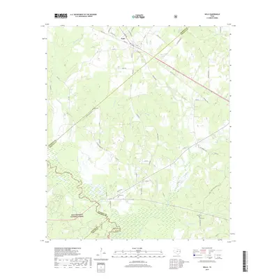
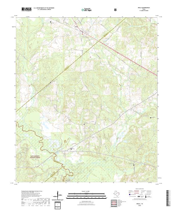 2022 Wells2022 Print · USGSThe community of Wells is captured here at the threshold of the Davy Crockett National Forest. Genealogists can trace family landmarks across the countryside, from Simpson Cem and Durham Cem to the tracks of the A & N RR.
End of results
Showing maps 1-21 of 21
Top cities near Wells
- Lufkin historical maps
- Hudson historical maps
- Alto historical maps
- Redland historical maps
- Kennard historical maps
Frequently asked questions
- What are the different types of historical maps available for Wells?
- What is the oldest map of Wells?
- Where can I purchase historical maps of Wells for my home or office?
- Where can I download high-res historical maps of Wells?
- Are there historical topographic maps available for Wells?
- Is there historical aerial imagery available for Wells?
- Where are historical maps of Wells sourced from?