2020s Maps of Deaf Smith County, Texas
Explore 40 historic maps of Deaf Smith County from the 2020s. These maps offer a rare glimpse into what life looked like during the 2020s — showing old roads, neighborhoods, homes, and landmarks that have changed or disappeared over time.
Whether you're researching your family's past, planning a metal detecting trip, or studying how Deaf Smith County's landscape evolved across the 2020s, these high-resolution maps are a powerful tool for exploring the history of this region.
- Focus on a specific era: All maps on this page are from the 2020s, giving you a focused view of this time period.
- See what’s changed: Compare century-old streets, trails, and buildings to today's modern landscape using overlays and satellite layers.
- Research with precision: Use these maps for genealogy, historical research, land use analysis, or educational projects.
- View, download, or print: Maps are fully viewable online in high resolution, and can be downloaded or printed for your own records.
Start exploring Deaf Smith County's history through authentic maps from the 2020s. This is your window into the past.
Deaf Smith County, TX maps
(40)- 2022 Map of Rock Camp, 2022 Print
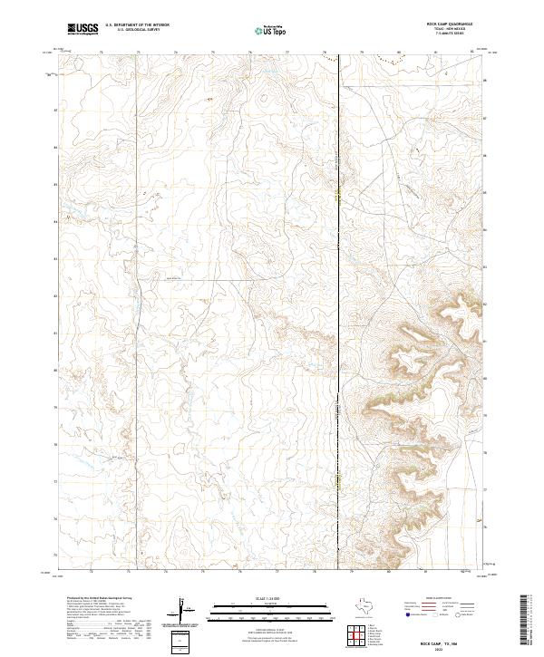 2022 Rock Camp2022 Print · USGSCovers Deaf Smith County, including Quay County, United States, and other nearby areas
 - 2022 Map of Wildorado, 2022 Print
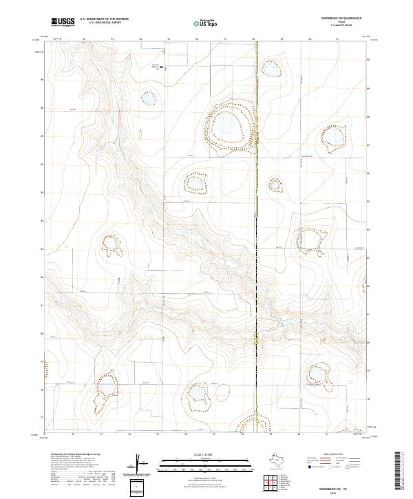
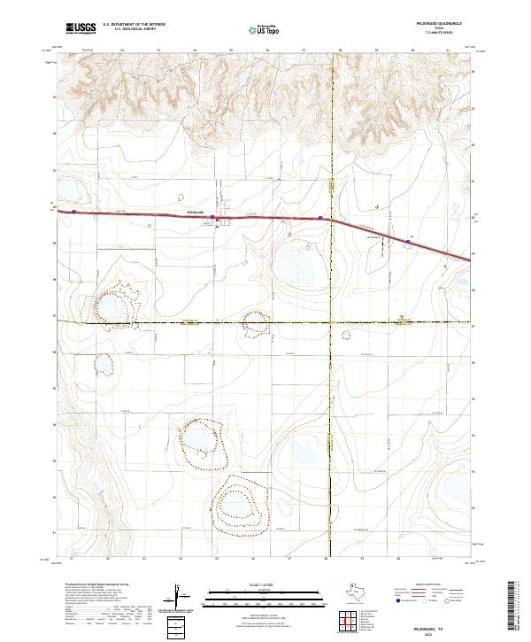 2022 Wildorado2022 Print · USGSCovers Deaf Smith County, including Wildorado, Randall County, and other nearby areas
 - 2022 Map of Moser Ranch, 2022 Print
 2022 Moser Ranch2022 Print · USGSCovers Deaf Smith County, including Oldham County, United States, and other nearby areas
 - 2022 Map of Boise, 2022 Print
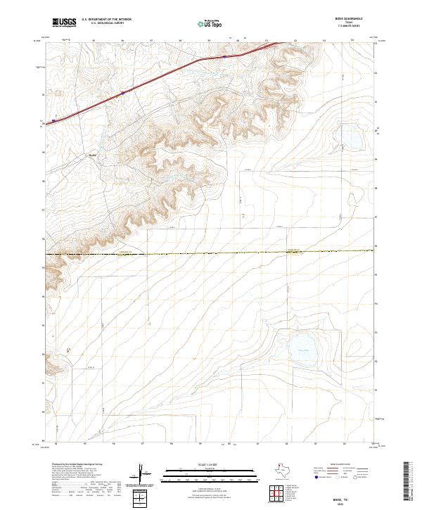 2022 Boise2022 Print · USGSCovers Deaf Smith County, including Boise, Oldham County, and other nearby areas
 - 2022 Map of Sand Point, 2022 Print
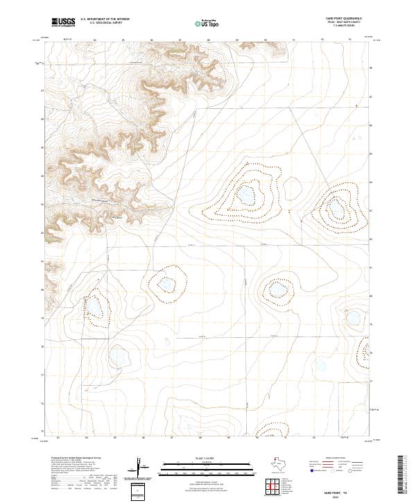 2022 Sand Point2022 Print · USGSCovers Deaf Smith County, including United States, Texas, and other nearby areas
 - 2022 Map of Simms, 2022 Print
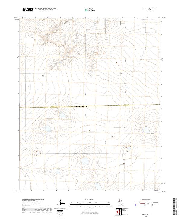
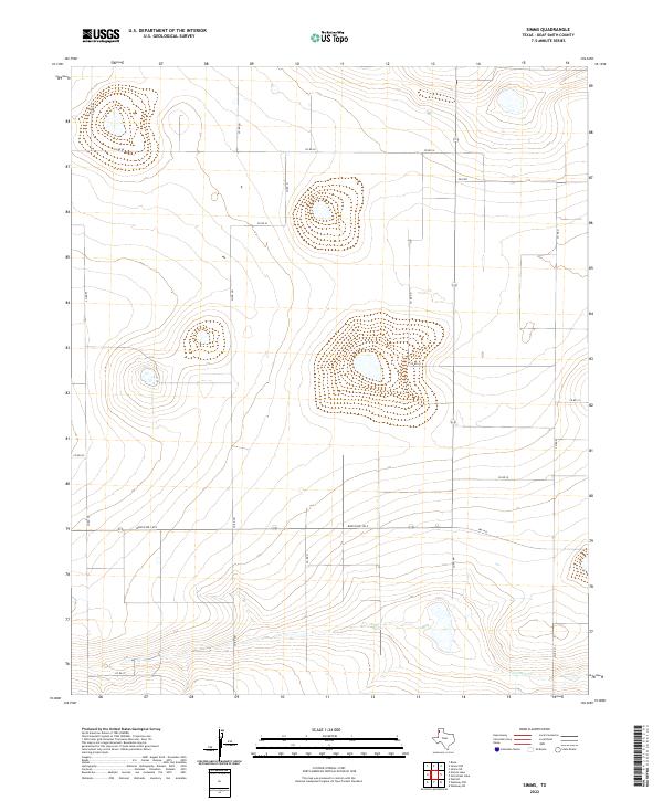 2022 Simms2022 Print · USGSCovers Deaf Smith County, including Simms, United States, and other nearby areas
 - 2022 Map of Allison Ranch, 2022 Print
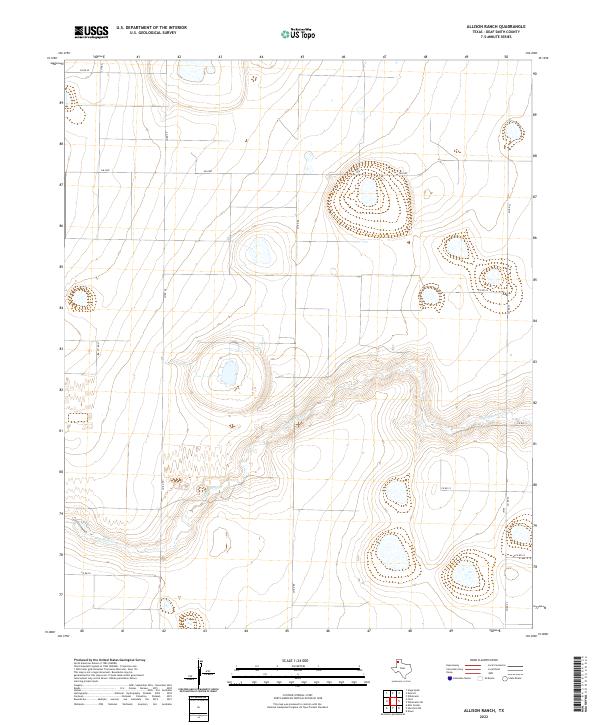 2022 Allison Ranch2022 Print · USGSCovers Deaf Smith County, including United States, Texas, and other nearby areas
 - 2022 Map of Simms NE, 2022 Print
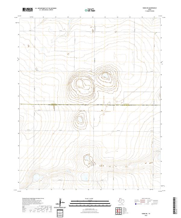 2022 Simms NE2022 Print · USGSCovers Deaf Smith County, including Oldham County, United States, and other nearby areas
 - 2022 Map of Overstreet Lake, 2022 Print
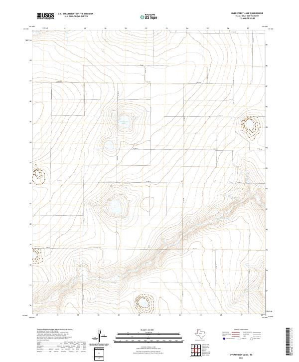 2022 Overstreet Lake2022 Print · USGSCovers Deaf Smith County, including United States, Texas, and other nearby areas
 - 2022 Map of Norton Lake, 2022 Print
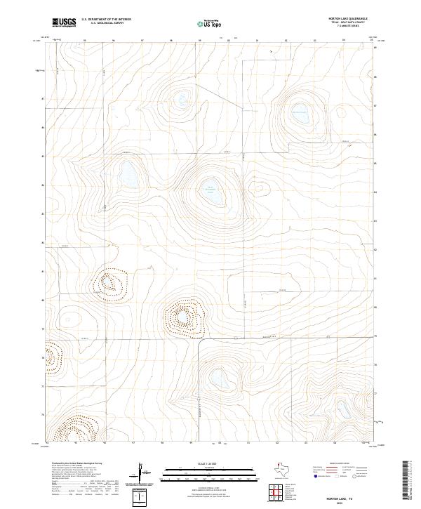 2022 Norton Lake2022 Print · USGSCovers Deaf Smith County, including United States, Texas, and other nearby areas
 - 2022 Map of Simms NW, 2022 Print
 2022 Simms NW2022 Print · USGSCovers Deaf Smith County, including Oldham County, United States, and other nearby areas
 - 2022 Map of Wildorado SW, 2022 Print
 2022 Wildorado SW2022 Print · USGSCovers Deaf Smith County, including Randall County, United States, and other nearby areas
 - 2022 Map of Ford, 2022 Print
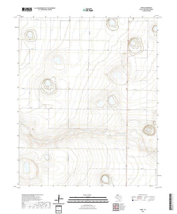 2022 Ford2022 Print · USGSCovers Deaf Smith County, including Ford, United States, and other nearby areas
 - 2022 Map of Buffalo Lake SW, 2022 Print
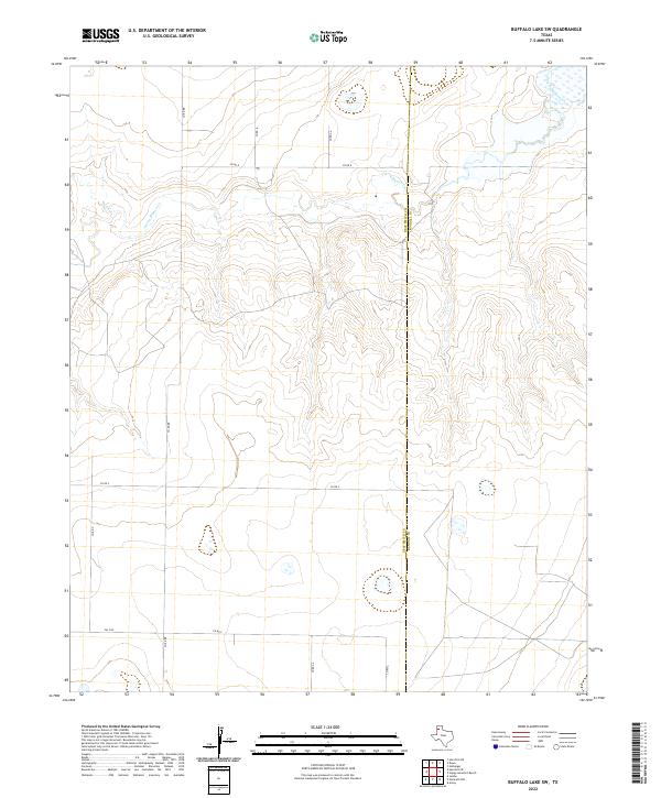 2022 Buffalo Lake SW2022 Print · USGSCovers Deaf Smith County, including Randall County, United States, and other nearby areas
 - 2022 Map of Westway NE, 2022 Print
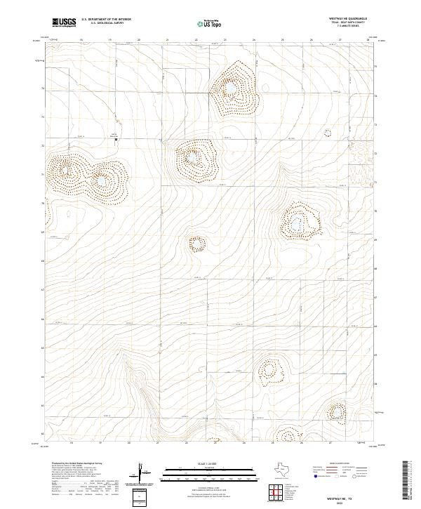 2022 Westway NE2022 Print · USGSCovers Deaf Smith County, including United States, Texas, and other nearby areas
 - 2022 Map of Walcott, 2022 Print
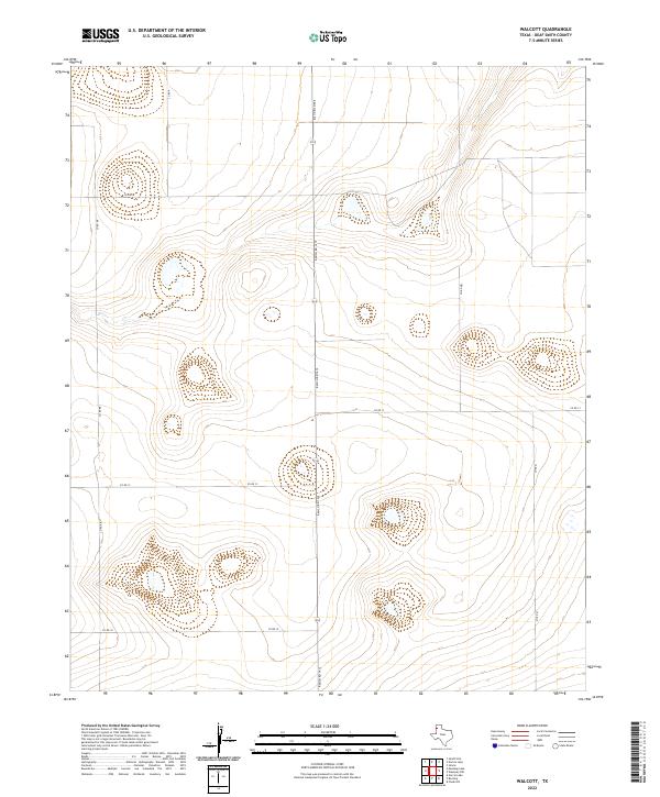 2022 Walcott2022 Print · USGSCovers Deaf Smith County, including Walcott, United States, and other nearby areas
 - 2022 Map of Easter, 2022 Print
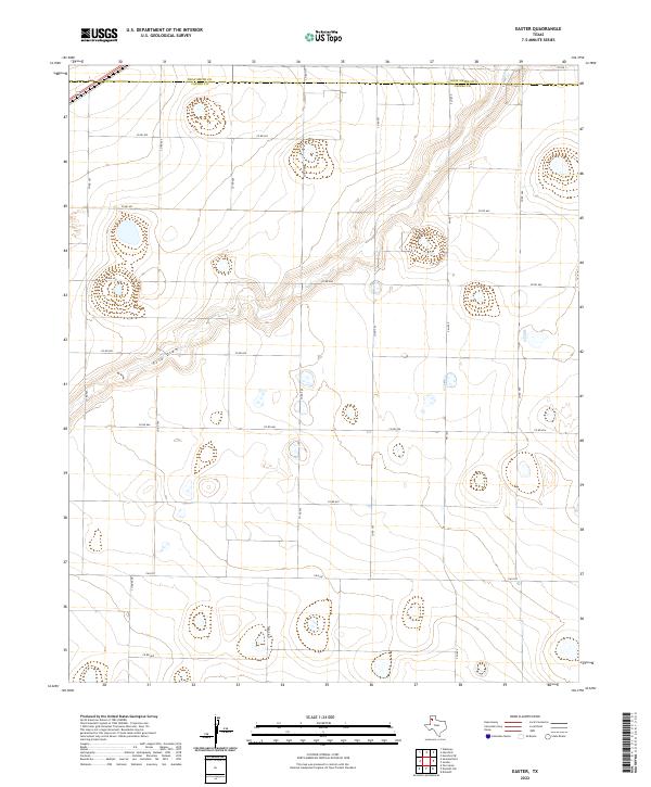 2022 Easter2022 Print · USGSCovers Deaf Smith County, including Frio, Easter, and other nearby areas
 - 2022 Map of Dawn, 2022 Print
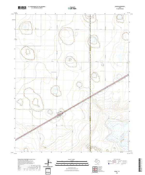 2022 Dawn2022 Print · USGSCovers Deaf Smith County, including Dawn, Randall County, and other nearby areas
 - 2022 Map of Rhea, 2022 Print
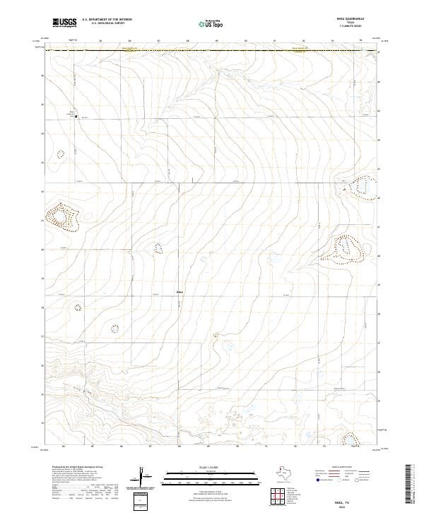 2022 Rhea2022 Print · USGSCovers Deaf Smith County, including Rhea, Parmer County, and other nearby areas
 - 2022 Map of Summerfield, 2022 Print
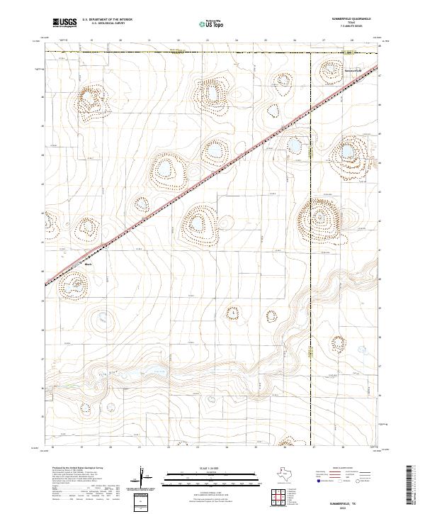 2022 Summerfield2022 Print · USGSCovers Deaf Smith County, including Summerfield, Black, and other nearby areas
 - 2022 Map of Jumbo, 2022 Print
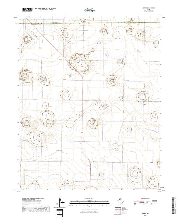 2022 Jumbo2022 Print · USGSCovers Deaf Smith County, including Jumbo, Castro County, and other nearby areas
 - 2022 Map of Friona, 2022 Print
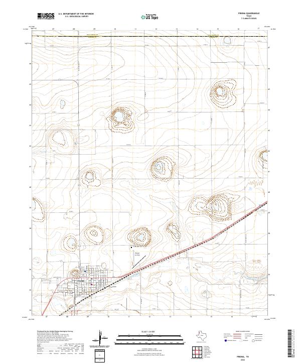 2022 Friona2022 Print · USGSCovers Deaf Smith County, including Friona, Parmer County, and other nearby areas
 - 2022 Map of Hereford NE, 2022 Print
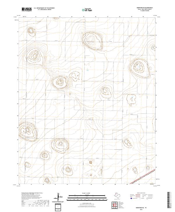 2022 Hereford NE2022 Print · USGSCovers Deaf Smith County, including United States, Texas, and other nearby areas
 - 2022 Map of Twin Lakes, 2022 Print
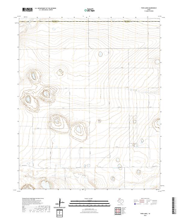 2022 Twin Lakes2022 Print · USGSCovers Deaf Smith County, including Parmer County, United States, and other nearby areas
 - 2022 Map of Milo Center, 2022 Print
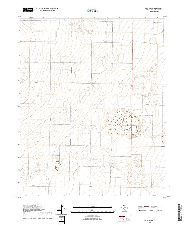 2022 Milo Center2022 Print · USGSCovers Deaf Smith County, including Milo Center, United States, and other nearby areas
Showing maps 1-25 of 40
Top cities of Deaf Smith County
Frequently asked questions
- What are the different types of historical maps available for Deaf Smith County?
- What is the oldest map of Deaf Smith County?
- Where can I purchase historical maps of Deaf Smith County for my home or office?
- Where can I download high-res historical maps of Deaf Smith County?
- Are there historical topographic maps available for Deaf Smith County?
- Is there historical aerial imagery available for Deaf Smith County?
- Where are historical maps of Deaf Smith County sourced from?