2010s Maps of Deaf Smith County, Texas
Explore 156 historic maps of Deaf Smith County from the 2010s. These maps offer a rare glimpse into what life looked like during the 2010s — showing old roads, neighborhoods, homes, and landmarks that have changed or disappeared over time.
Whether you're researching your family's past, planning a metal detecting trip, or studying how Deaf Smith County's landscape evolved across the 2010s, these high-resolution maps are a powerful tool for exploring the history of this region.
- Focus on a specific era: All maps on this page are from the 2010s, giving you a focused view of this time period.
- See what’s changed: Compare century-old streets, trails, and buildings to today's modern landscape using overlays and satellite layers.
- Research with precision: Use these maps for genealogy, historical research, land use analysis, or educational projects.
- View, download, or print: Maps are fully viewable online in high resolution, and can be downloaded or printed for your own records.
Start exploring Deaf Smith County's history through authentic maps from the 2010s. This is your window into the past.
Deaf Smith County, TX maps
(156)- 2010 Map of Mustang Lake, 2010 Print
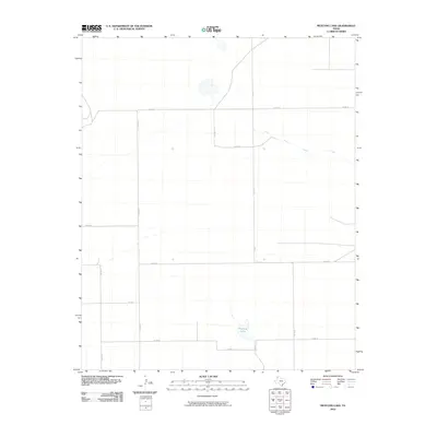 2010 Mustang Lake2010 Print · USGSIn the Texas Panhandle during the early twenty-first century, this landscape shows a strictly organized grid of rural infrastructure. Researchers can trace the path of Palo Duro Creek and the coordinates of local landmarks like Mustang Lake and CO RD 16.
 - 2010 Map of Bootleg, 2010 Print
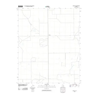 2010 Bootleg2010 Print · USGSDeaf Smith County's high plains are captured here in the early twenty-first century, showing the small settlement of Bootleg. Genealogists and local historians can trace rural property boundaries and drainage along Tierra Blanca Creek and FM 1058.
 - 2010 Map of Garcia Lake, 2010 Print
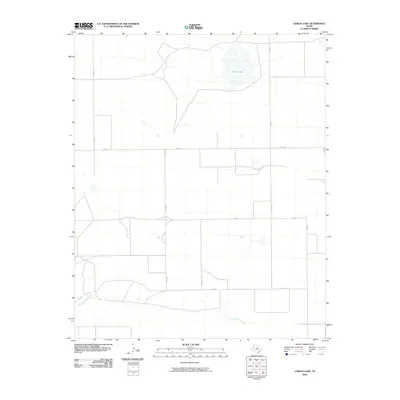 2010 Garcia Lake2010 Print · USGSDeaf Smith County is documented here during the early twenty-first century, showing a landscape defined by ranching roads and water. Trace the rural routes of FM 1058 and CO RD 5 as they navigate around Garcia Lake and Tierra Blanca Creek.
 - 2010 Map of Friona, 2010 Print
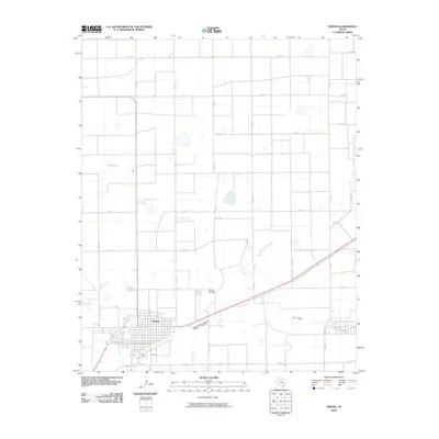 2010 Friona2010 Print · USGSThe High Plains of Parmer County are captured here in the early twenty-first century, showcasing the agricultural grid of Friona. Genealogists and local historians can trace family land and rural infrastructure through landmarks like Benger Air Park and the seasonal waters of Frio Draw.
 - 2010 Map of Chalk Hill, 2010 Print
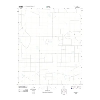 2010 Chalk Hill2010 Print · USGSThe High Plains of Deaf Smith County are captured here in the early twenty-first century, showing the organized agricultural landscape around Chalk Hill. Local historians can trace the route of Tierra Blanca Creek and the intersection of rural thoroughfares like FM 1058 and FM 2298.
 - 2010 Map of Walcott, 2010 Print
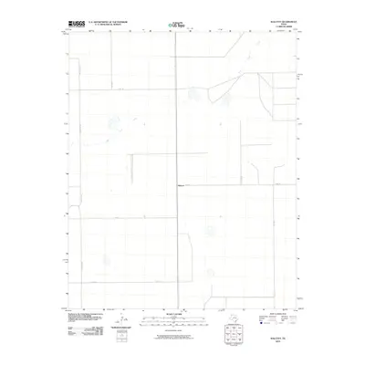 2010 Walcott2010 Print · USGSDeaf Smith County is documented here in the early twenty-first century, showing the rural crossroads of the Panhandle. Researchers can trace the path of Palo Duro Creek and the grid of local routes like CO RD 13 and CO RD 10 surrounding Walcott.
 - 2010 Map of Everett, 2010 Print
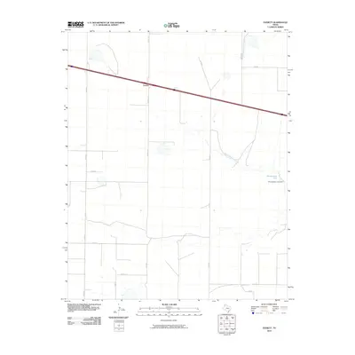 2010 Everett2010 Print · USGSThe High Plains of the Texas panhandle appear here in the early twenty-first century, showing the rural grid and water resources of Oldham County. Researchers can trace local landmarks like Montgomery Lake, the Montgomery Lake Dam, and the small settlement of Everett.
 - 2010 Map of Hereford, 2010 Print
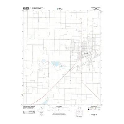 2010 Hereford2010 Print · USGSThe Texas Panhandle town of Hereford is captured in the early twenty-first century, showing its development alongside the Tierra Blanca Creek. Genealogists can locate family sites at West Park Cemetery and Rest Lawn Cemetery.
 - 2010 Map of Westway NE, 2010 Print
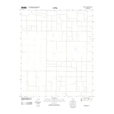 2010 Westway NE2010 Print · USGSDeaf Smith County is shown at the turn of the millennium as a highly organized landscape of rural agriculture and grid-based transit. Genealogists and local historians can trace specific properties along roads like Fm 1057, Co Rd MM, and Co Rd 17.
 - 2010 Map of Hereford SE, 2010 Print
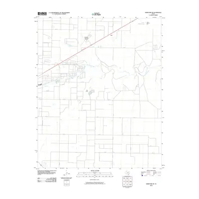 2010 Hereford SE2010 Print · USGSSoutheast of Hereford during the early twenty-first century, this landscape shows a highly organized grid of rural life and water management. Genealogists and local historians can trace family land plots near Joel or investigate the area surrounding Leroy Johnson Lake and Frio Draw.
 - 2010 Map of Dawn, 2010 Print
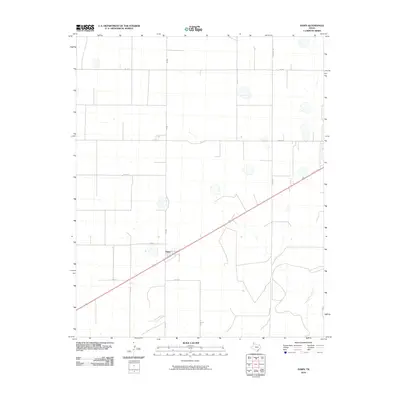 2010 Dawn2010 Print · USGSIn the heart of Deaf Smith County during the early 21st century, this map captures the agricultural grid surrounding the community of Dawn. Researchers can trace the section lines and rural infrastructure along Church Rd and Tierra Blanca Creek.
 - 2010 Map of Milo Center, 2010 Print
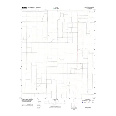 2010 Milo Center2010 Print · USGSDeaf Smith County in the early twenty-first century reflects a landscape of deep-rooted agricultural patterns and expansive Panhandle plains. Genealogists and local historians can trace the grid of rural life along Tierra Blanca Rd and near the settlement of Milo Center.
 - 2010 Map of Westway NW, 2010 Print
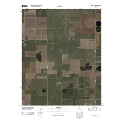 2010 Westway NW2010 Print · USGSDeaf Smith County's expansive ranching and farming lands are captured here during the first decade of the new millennium. Researchers can trace the vast agricultural grid along rural routes like Co Rd PP, Co Rd N, and Co Rd 12.
 - 2010 Map of Allison Ranch, 2010 Print
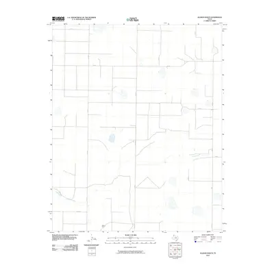 2010 Allison Ranch2010 Print · USGSDeaf Smith County ranching lands are captured in the early twenty-first century, showing the intersection of rural life and natural drainage. Trace the namesake Allison Ranch and the winding course of Palo Duro Creek across a network of routes like FM 2587.
 - 2010 Map of Jumbo, 2010 Print
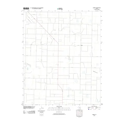 2010 Jumbo2010 Print · USGSThe community of Jumbo in Castro County is shown during the early 21st century, surrounded by a dense grid of rural Texas Panhandle roads. Researchers can trace the path of Middle Tule Draw or locate specific homesteads along Busby Rd and Jumbo Rd.
 - 2010 Map of Hereford NE, 2010 Print
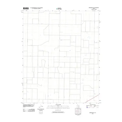 2010 Hereford NE2010 Print · USGSDeaf Smith County is shown at the start of the decade as a structured landscape of high plains agriculture and ranching. Genealogists and local historians can trace specific land tracts and homestead access along Fm 2943, Fm 1062, and Co Rd Dd.
 - 2010 Map of Rhea, 2010 Print
 2010 Rhea2010 Print · USGSThe rural community of Rhea is captured here during the first decade of the millennium, surrounded by the deep-cut channels of the High Plains. Genealogists and local historians can trace the intersection of Fm 2013 and Ranch Rd 2013 near Frio Draw.
 - 2010 Map of Easter, 2010 Print
 2010 Easter2010 Print · USGSCastro County's High Plains farming and ranching country is captured here during the first decade of the millennium. Researchers can trace the layout of rural crossroads like Easter and Frio along the wandering path of the Frio Draw.
 - 2010 Map of Nazareth NW, 2010 Print
 2010 Nazareth NW2010 Print · USGSRandall County's panhandle landscape is seen here in the early 21st century, defined by a rigid grid of rural transport and the natural path of Middle Tule Draw. Trace the local road network through family-land parcels along County Line Rd and Fm 1075.
 - 2010 Map of Ford, 2010 Print
 2010 Ford2010 Print · USGSDeaf Smith County ranching and water management are front and center in this early twenty-first century study. Genealogists and local historians can locate Conkwright Ranch, the settlement at Ford, and man-made landmarks like Grigsby Lake Dam.
 - 2010 Map of Twin Lakes, 2010 Print
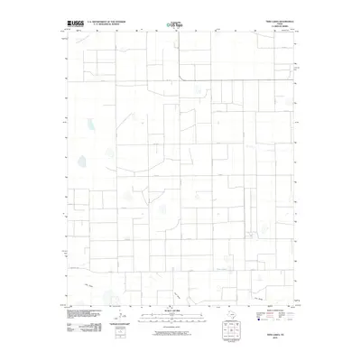 2010 Twin Lakes2010 Print · USGSDeaf Smith County is shown here in the early 2000s, defined by its orderly grid of section roads and cattle-country hydrology. Researchers can trace the path of Frio Draw and locate water sources like Twin Lakes along FM 2013.
 - 2010 Map of Buffalo Lake SW, 2010 Print
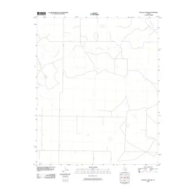 2010 Buffalo Lake SW2010 Print · USGSRandall County's wide-open High Plains are documented here in the early twenty-first century, showing a landscape shaped by hydrology and grid-based transit. You can trace the winding course of Tierra Blanca Creek as it intersects rural routes like FM 1259 and CO RD BB.
 - 2010 Map of Westway, 2010 Print
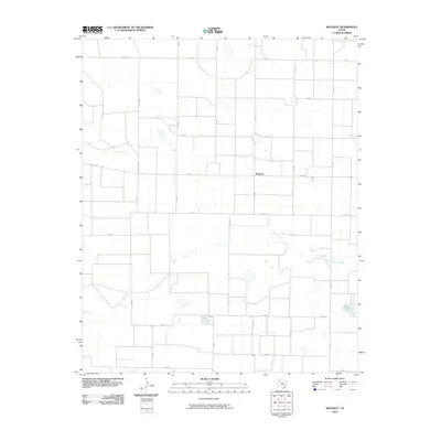 2010 Westway2010 Print · USGSDeaf Smith County is shown here in the early twenty-first century, defined by its massive agricultural grid and the winding path of Tierra Blanca Creek. Genealogists and local researchers can trace the intersection of regional life at Westway and along rural routes like FM 1058.
 - 2010 Map of Moser Ranch, 2010 Print
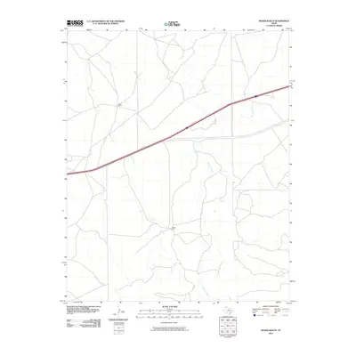 2010 Moser Ranch2010 Print · USGSThe Texas Panhandle ranching country is captured here in the decade following the turn of the millennium. Local historians and land researchers can trace the rural infrastructure surrounding Moser Ranch, Ralls Ranch, and the drainages of Mujares Creek.
 - 2010 Map of Sand Point, 2010 Print
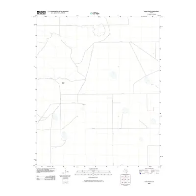 2010 Sand Point2010 Print · USGSDeaf Smith County is shown at the turn of the millennium, characterized by its wide-open ranching landscape and rural grid. Trace the local landmarks of the High Plains, including The Cook Shack and the junction at Sand Point.
Showing maps 1-25 of 156
Top cities of Deaf Smith County
Frequently asked questions
- What are the different types of historical maps available for Deaf Smith County?
- What is the oldest map of Deaf Smith County?
- Where can I purchase historical maps of Deaf Smith County for my home or office?
- Where can I download high-res historical maps of Deaf Smith County?
- Are there historical topographic maps available for Deaf Smith County?
- Is there historical aerial imagery available for Deaf Smith County?
- Where are historical maps of Deaf Smith County sourced from?