1970s Maps of Deaf Smith County, Texas
Explore 14 historic maps of Deaf Smith County from the 1970s. These maps offer a rare glimpse into what life looked like during the 1970s — showing old roads, neighborhoods, homes, and landmarks that have changed or disappeared over time.
Whether you're researching your family's past, planning a metal detecting trip, or studying how Deaf Smith County's landscape evolved across the 1970s, these high-resolution maps are a powerful tool for exploring the history of this region.
- Focus on a specific era: All maps on this page are from the 1970s, giving you a focused view of this time period.
- See what’s changed: Compare century-old streets, trails, and buildings to today's modern landscape using overlays and satellite layers.
- Research with precision: Use these maps for genealogy, historical research, land use analysis, or educational projects.
- View, download, or print: Maps are fully viewable online in high resolution, and can be downloaded or printed for your own records.
Start exploring Deaf Smith County's history through authentic maps from the 1970s. This is your window into the past.
Deaf Smith County, TX maps
(14)- 1970 Map of Chalk Hill, 1973 Print
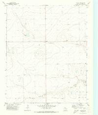
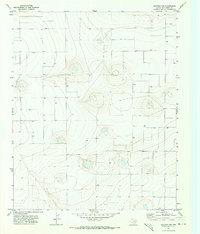
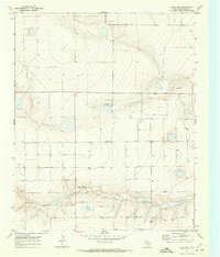 1970 Chalk Hill1973 Print · USGSDeaf Smith County in the early seventies was a land of high plains ranching and vital water infrastructure. Trace the early water management of the region through scattered Wells and find landmarks like Chalk Hill or the remote Landing Strip.
 - 1970 Map of Hereford, 1974 Print
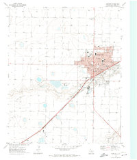 1970 Hereford1974 Print · USGSThe Texas Panhandle cattle and rail hub of Hereford is captured in the early seventies, showcasing a thriving agricultural center. Researchers can trace local lineage through the Rest Lawn Cem, the Courthouse, and community landmarks like St Anthony Sch.
 - 1971 Map of Westway, 1973 Print
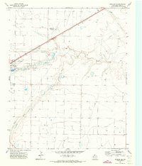
 1971 Westway1973 Print · USGSDeaf Smith County is captured here in the early seventies, showing a landscape defined by ranching and resource extraction. Researchers can trace the layout of Westway, find the small settlement of Burks, and locate the various Gravel Pits along Tierra Blanca Creek.2 unique versions available
 - 1971 Map of Mustang Lake, 1973 Print
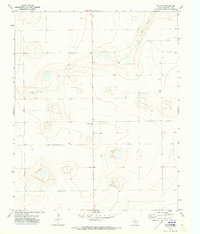
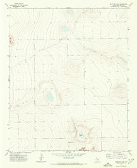 1971 Mustang Lake1973 Print · USGSDeaf Smith County is documented in the early seventies, showing the remote ranching landscape along the New Mexico State Line. Trace the elevation changes around Mustang Lake and the network of unimproved roads that cross this Panhandle borderland.
 - 1971 Map of Bootleg, 1973 Print
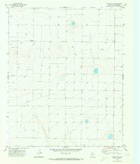
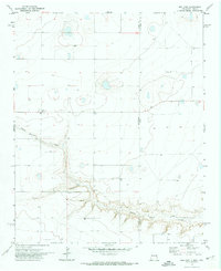
 1971 Bootleg1973 Print · USGSThe High Plains of the Texas Panhandle are captured here in the early seventies, centered on the settlement of Bootleg. Local history researchers can trace water sources along Tierra Blanca Creek and locate several scattered Wells and a rural Gravel Pit.
 - 1971 Map of Hereford NE, 1973 Print
 1971 Hereford NE1973 Print · USGSDeaf Smith County is shown at the start of the 1970s as a high-plains landscape of industrial agriculture and rail. Researchers can trace the path of the Atchison Topeka and Santa Fe railroad and locate a rural Landing Strip and utility Substa.
 - 1971 Map of Garcia Lake, 1973 Print
 1971 Garcia Lake1973 Print · USGSThe Texas Panhandle plains meet the New Mexico border in the early seventies, showing a landscape of ranching and early resource exploration. Local researchers can trace the Tierra Blanca Creek valley or locate the isolated Community Center and Garcia Lake.
 - 1971 Map of Milo Center, 1973 Print
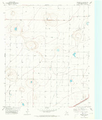
 1971 Milo Center1973 Print · USGSDeaf Smith County was a landscape of precision-engineered agriculture in the early seventies. Genealogists and researchers can trace the rural hub of Milo Center and a vast network of numbered water sources like Well 4029 and Well 3894.
 - 1971 Map of Westway NW, 1973 Print
 1971 Westway NW1973 Print · USGSThe Texas Panhandle takes shape in the early seventies as a landscape of intensive groundwater use and open ranchland. Genealogists and land researchers can trace the distribution of numerous water sources, including Well and Wells, that sustained the rural economy.
 - 1971 Map of Hereford SE, 1973 Print
 1971 Hereford SE1973 Print · USGSDeaf Smith County comes into focus in the early seventies, showcasing the industrial and aviation growth at the edge of the high plains. Researchers can trace the path of the Atchison Topeka and Santa Fe railroad and locate landmarks like the Hereford Municipal Airport and Salt Evaporators.
 - 1971 Map of Walcott, 1973 Print
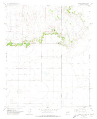
 1971 Walcott1973 Print · USGSDeaf Smith County is documented here in the early seventies, capturing the quiet ranching and farming landscape of the Panhandle. Researchers can trace local landmarks like Walcott and Valentine or locate various Well sites and the path of Palo Duro Creek.
 - 1971 Map of Westway NE, 1973 Print
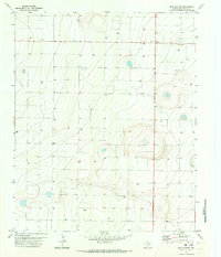
 1971 Westway NE1973 Print · USGSDeaf Smith County is shown at the height of its groundwater-led agricultural development in the early seventies. Genealogists and historians can locate a Cem and a remote Historical Marker among a landscape of numerous irrigation Wells.
 - 1971 Map of Bellview, 1974 Print
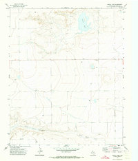
 1971 Bellview1974 Print · USGSThe high plains of the New Mexico and Texas border come into focus in the early 1970s, showcasing a landscape of isolated homesteads and deep-cut drainages. Researchers can trace the rural communities of Bellview and Hollene or follow the path of Tierra Blanca Creek.
 - 1971 Map of Endee Hill, 1974 Print
 1971 Endee Hill1974 Print · USGSThe New Mexico and Texas state line meets at this high plains escarpment during the early seventies. Genealogists and local historians can locate Mitchel Cem and trace livestock water sources from Arroyo Trujillo to Salt Well Canyon.
End of results
Showing maps 1-14 of 14
Top cities of Deaf Smith County
Frequently asked questions
- What are the different types of historical maps available for Deaf Smith County?
- What is the oldest map of Deaf Smith County?
- Where can I purchase historical maps of Deaf Smith County for my home or office?
- Where can I download high-res historical maps of Deaf Smith County?
- Are there historical topographic maps available for Deaf Smith County?
- Is there historical aerial imagery available for Deaf Smith County?
- Where are historical maps of Deaf Smith County sourced from?