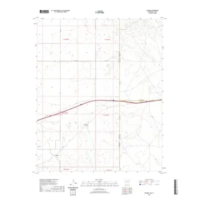
2020 Map of Glenrio
USGS Topo · Published 2020About this map
The settlement of Endee anchors this borderland survey, situated where the high plains of New Mexico meet the Texas Panhandle. This area is defined by the transition from the rolling terrain of Sand Point Draw to the drainage of Trujillo Cr and Martha Cr. A significant historical alignment of Rte 66 cuts across the lower portion of the map, reflecting the enduring legacy of the Mother Road through this arid landscape.
Find a feature on this map
24 named features on this map. Tap any name to fly to it.
Don’t see what you’re looking for? This feature index may not catch every label — zoom into the map to look around manually.
Map Details
Editions of this 2020 Glenrio Map
This is the sole edition of this map. No revisions or reprints were ever made.
Other maps of this area

1954 · Tucumcari
USGS Topo · 1:250,000

1958 · Tucumcari
USGS Topo · 1:250,000

1966 · Moser Ranch
USGS Topo · 1:24,000

1966 · Signal Spring
USGS Topo · 1:24,000

1966 · Sand Point
USGS Topo · 1:24,000

1968 · Rock Camp
USGS Topo · 1:24,000

1968 · Blue Hole
USGS Topo · 1:24,000

1968 · Riley Camp
USGS Topo · 1:24,000

1968 · Bard
USGS Topo · 1:24,000

1968 · Glenrio
USGS Topo · 1:24,000