Old Maps of Dickens, Texas for Metal Detecting
Plan your next treasure hunt with 14 historic maps of Dickens. Find old homesites, ghost towns, trails, and gathering spots that may be lost to time — perfect for identifying promising metal detecting locations.
- Locate forgotten sites: Uncover places like long-lost settlements, abandoned rail lines, or gathering spots.
- Plan better hunts: Use map overlays combined with LiDAR or satellite views to narrow in on historically rich areas.
- Made for detectorists: Thousands of hobbyists use these maps to discover relics, coins, and hidden history.
Use these historic maps to boost your research and find new opportunities beneath the surface of Dickens.
Dickens, TX maps
(14)- 1954 Map of Lubbock, 1958 Print
 1954 Lubbock1958 Print · USGSThe High Plains and Caprock region of West Texas come alive in the mid-1950s, showing a landscape defined by oil discovery and the Brazos River headwaters. Genealogists and historians can trace rail-connected towns like Roaring Springs, find the Pleasant Valley church, or locate family-named landmarks such as Soldier Mound.4 unique versions available
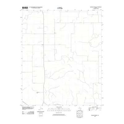
 - 1967 Map of Dickens North, 1970 Print
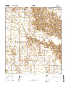
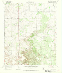 1967 Dickens North1970 Print · USGSThe broken country of West Texas comes into focus in the late sixties, showing the transition from the high plains to the canyonlands. Genealogists and local historians can trace family ties at Amity Cem or locate old landmarks like Elton, Dickens, and Mackenzie Peak.2 unique versions available
 - 1967 Map of Dickens South, 1970 Print
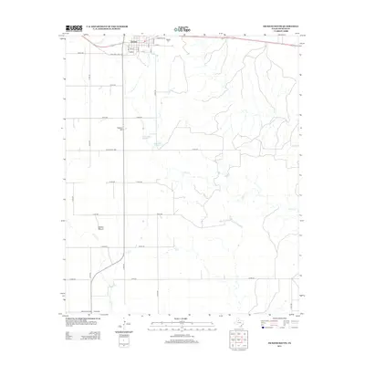
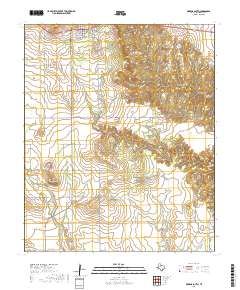
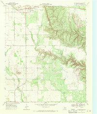 1967 Dickens South1970 Print · USGSDickens sits on the edge of the Caprock in the late 1960s, where the high plains meet the intricate erosional canyons of the Croton Breaks. Researchers can trace the local landscape through landmarks like Soldier Mound, the town Cem, and a mid-century Drive-in Theater.2 unique versions available
 - 1985 Map of Dickens
 1985 Dickens1985 Print · USGSThe West Texas ranchlands near the Dickens and King County lines are shown here in the mid-eighties as a network of rural settlements and canyon terrain. Trace family roots or land boundaries near Roaring Springs, Soldier Mound, or the Fort Worth and Denver Railroad.2 unique versions available
 - 2010 Map of Dickens South, 2010 Print
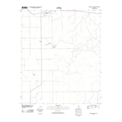 2010 Dickens South2010 Print · USGSCovers Dickens, including Dickens County, United States, and other nearby areas
 - 2010 Map of Dickens North, 2010 Print
 2010 Dickens North2010 Print · USGSCovers Dickens, including Elton, Dickens County, and other nearby areas
 - 2012 Map of Dickens South, 2012 Print
 2012 Dickens South2012 Print · USGSCovers Dickens, including Dickens County, United States, and other nearby areas
 - 2012 Map of Dickens North, 2012 Print
 2012 Dickens North2012 Print · USGSCovers Dickens, including Elton, Dickens County, and other nearby areas
 - 2016 Map of Dickens North, 2016 Print
 2016 Dickens North2016 Print · USGSCovers Dickens, including Elton, Dickens County, and other nearby areas
 - 2016 Map of Dickens South, 2016 Print
 2016 Dickens South2016 Print · USGSCovers Dickens, including Dickens County, United States, and other nearby areas
 - 2019 Map of Dickens South, 2019 Print
 2019 Dickens South2019 Print · USGSCovers Dickens, including Dickens County, United States, and other nearby areas
 - 2019 Map of Dickens North, 2019 Print
 2019 Dickens North2019 Print · USGSCovers Dickens, including Elton, Dickens County, and other nearby areas
 - 2022 Map of Dickens North, 2022 Print
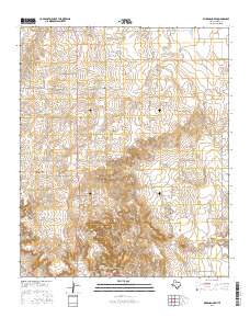
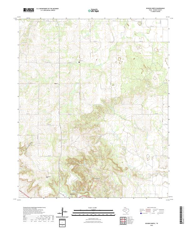 2022 Dickens North2022 Print · USGSThe broken country north of Dickens, Texas, is captured here in the early twenty-first century as a network of cattle country and creek-fed canyons. Researchers can locate Amity Cem, the landmark Mackenzie Peak, and the water at Dickens Spring.
 - 2022 Map of Dickens South, 2022 Print
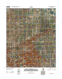
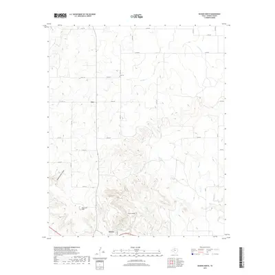
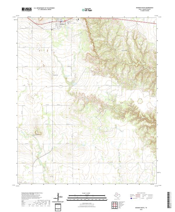 2022 Dickens South2022 Print · USGSThe community of Dickens and the surrounding Rolling Plains are captured here in the early twenty-first century. Genealogists and historians can locate the Dickens County Courthouse and Dickens Cem while tracing drainage patterns through the Croton Breaks.
End of results
Showing maps 1-14 of 14
Top cities near Dickens
Frequently asked questions
- What are the different types of historical maps available for Dickens?
- What is the oldest map of Dickens?
- Where can I purchase historical maps of Dickens for my home or office?
- Where can I download high-res historical maps of Dickens?
- Are there historical topographic maps available for Dickens?
- Is there historical aerial imagery available for Dickens?
- Where are historical maps of Dickens sourced from?