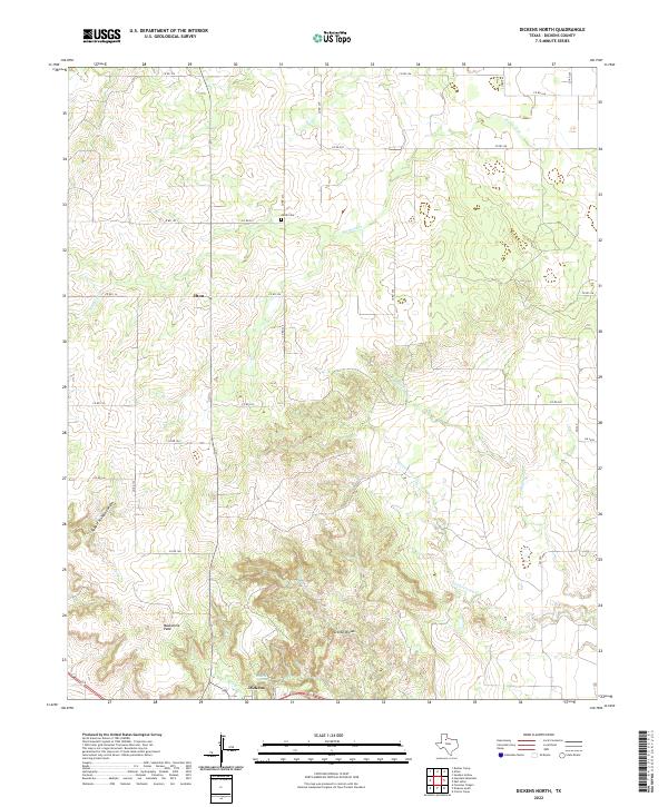
2022 Map of Dickens North
USGS Topo · Published 2022About this map
Croton Breaks dominate the southern landscape of this Dickens County quadrangle, where the rolling plains drop away into the intricate drainage systems of the Brazos River watershed. The topography is defined by the sharp descent into Hobble Scabble Canyon and the prominent rise of Mackenzie Peak, illustrating the transition from flat upland mesas to the deeply eroded breaks. This 2022 survey documents the modern rural layout of the region, anchored by the settlement of Dickens and the smaller community of Elton.
Find a feature on this map
30 named features on this map. Tap any name to fly to it.
Don’t see what you’re looking for? This feature index may not catch every label — zoom into the map to look around manually.
Map Details
Editions of this 2022 Dickens North Map
This is the sole edition of this map. No revisions or reprints were ever made.
Other maps of this area

1954 · Lubbock
USGS Topo · 1:250,000

1967 · Dickens North
USGS Topo · 1:24,000

1967 · Dickens South
USGS Topo · 1:24,000

1967 · Haystack Mountain
USGS Topo · 1:24,000

1968 · East Afton
USGS Topo · 1:24,000

1968 · Foreman Chapel
USGS Topo · 1:24,000

1968 · Croton Camp
USGS Topo · 1:24,000

1968 · Rustler Camp
USGS Topo · 1:24,000

1968 · Sanders Hollow
USGS Topo · 1:24,000

1968 · Afton
USGS Topo · 1:24,000